Wikimedi'Òc
Modes d'emploi

Cet album fait partie des albums
Cet album photos contient les sous-albums suivants :


Satellite image of Belize in May 2001.jpg - Hautala

Yucatan peninsula 250m.jpg - Miraceti

Chetumal Bay.jpg - Battroid

Gulf of Honduras.jpg - Timothy Gu
Lighthouse Reef Belize.jpg - Originalwana

Mundo Maya, Meso-America.png - Pgbk1987
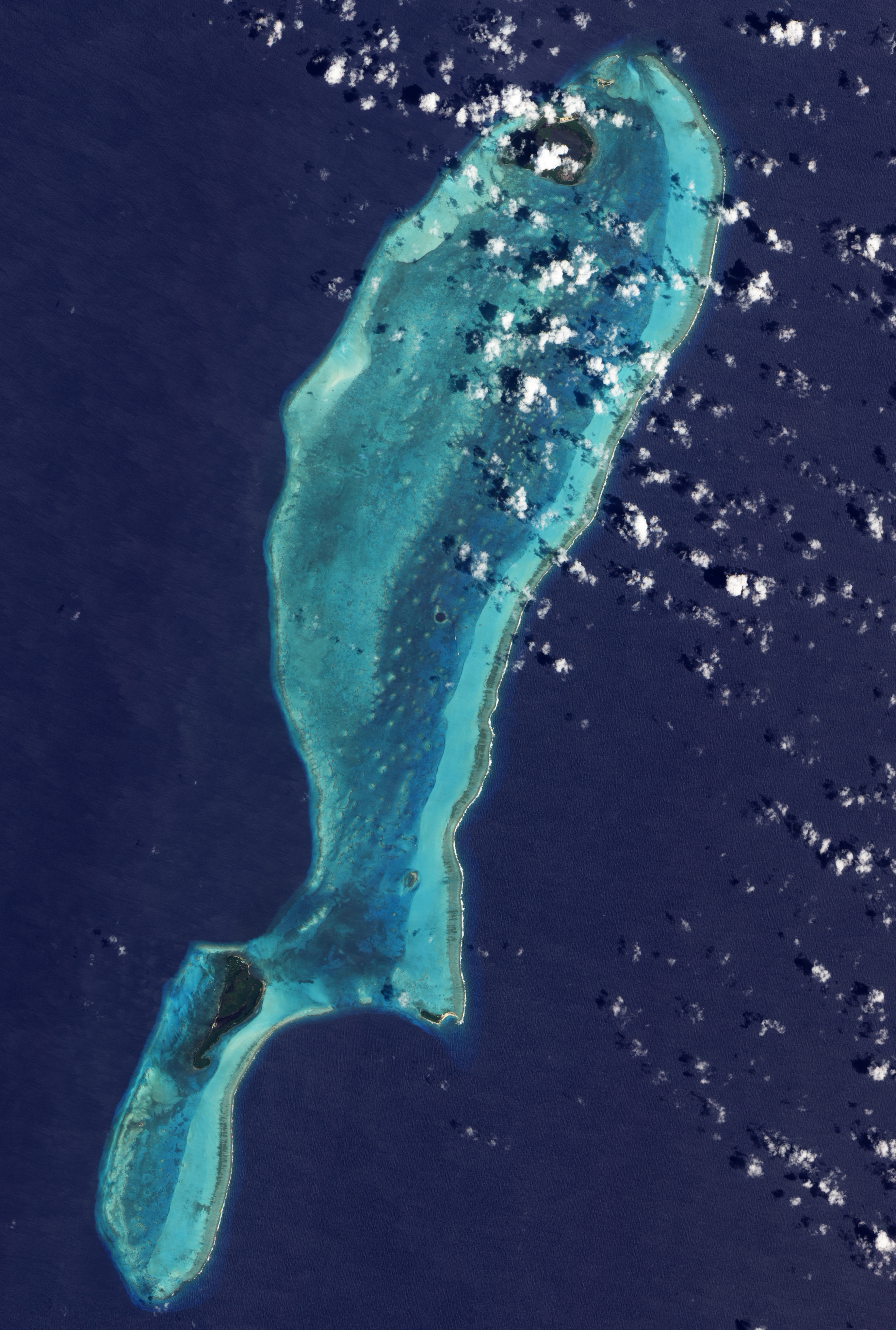
Sarstoon Island L8.jpg - Kaldari

Great Blue Hole Belize.jpg - Fukumoto

Chetumal Bay satellite image.jpg - Kaldari

Belize 321.jpg - Kaldari

Belize satellite image 2003.jpg - Kaldari
Envisat image of Central America ESA238704.tiff - Fæ
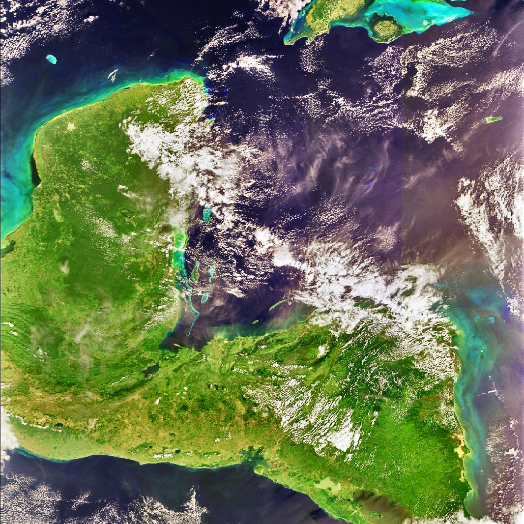
Envisat image of Central America ESA238704.jpg - Fæ

Yucatan Peninsula on January 25, 2017.jpg - A1Cafel

Satellite image of Belize in March 31, 2002.jpg - Kaldari

STS004-39-925 - View of Belize.jpg - Askeuhd
STS004-39-925 - View of Belize (Raw scan).tif - Askeuhd

STS004-39-926 - View of Belize.jpg - Askeuhd
STS004-39-926 - View of Belize (Raw scan).tif - Askeuhd

STS005-37-770 - View of Belize.jpg - Askeuhd
STS005-37-770 - View of Belize (Raw scan).tif - Askeuhd

STS006-39-199 - View of Belize.jpg - Askeuhd
STS006-39-199 - View of Belize (Raw scan).tif - Askeuhd

STS006-39-200 - View of Belize.jpg - Askeuhd
STS006-39-200 - View of Belize (Raw scan).tif - Askeuhd

Great Blue Hole, Belize (ASTER).jpg - OptimusPrimeBot

Study Uses MODIS Data to Determine Belize Coral Reef Risk (PIA25861).jpg - OptimusPrimeBot
Study Uses MODIS Data to Determine Belize Coral Reef Risk (PIA25861).tif - OptimusPrimeBot

Yucatan Peninsula on January 25, 2017 (cropped to Sapodilla Cayes).jpg - Argo Navis

Central America (MODIS 2019-02-22).jpg - OptimusPrimeBot