Wikimedi'Òc
Modes d'emploi

Cet album fait partie des albums
Cet album photos contient les sous-albums suivants :


Old Marlborough Road - geograph.org.uk - 91982.jpg - GeographBot

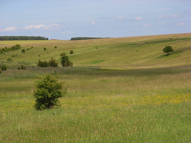
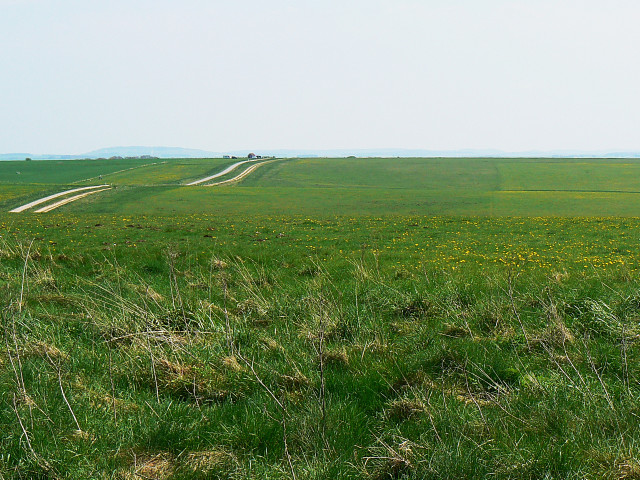
Copse South of Maddington Down - geograph.org.uk - 361683.jpg - GeographBot
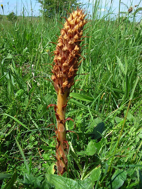
Broomrape - geograph.org.uk - 457124.jpg - GeographBot

Netheravon Down - geograph.org.uk - 453576.jpg - GeographBot

Netheravon Down - geograph.org.uk - 457147.jpg - GeographBot
Netheravon Down - geograph.org.uk - 457150.jpg - GeographBot

Farmland near Rollestone - geograph.org.uk - 489494.jpg - GeographBot

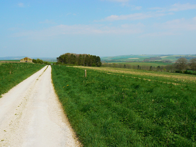
Barn near Stonehenge - geograph.org.uk - 491375.jpg - GeographBot

The River Avon, Normanton - geograph.org.uk - 491459.jpg - GeographBot

Track, Baden's Clump - geograph.org.uk - 491418.jpg - GeographBot

Track on the downs at Everleigh - geograph.org.uk - 491438.jpg - GeographBot

Track, Larkhill Artillery Range - geograph.org.uk - 522688.jpg - GeographBot

Track, Larkhill Artillery Range - geograph.org.uk - 524918.jpg - GeographBot

Trees on downland, Orcheston - geograph.org.uk - 522717.jpg - GeographBot

Unnamed plantation, near the Tilshead to Chitterne Road - geograph.org.uk - 523432.jpg - GeographBot

Boreham Down from Imber Road - geograph.org.uk - 538729.jpg - GeographBot

Hawthorn bushes coming into fruit, Imber - geograph.org.uk - 539271.jpg - GeographBot

Towards Upton Cow Down - geograph.org.uk - 538964.jpg - GeographBot

Tracks, Imber range, north of Imber, Salisbury Plain - geograph.org.uk - 535219.jpg - GeographBot
Tracks on Imber Range - geograph.org.uk - 538836.jpg - GeographBot

Tracks towards Fore Down, Imber Range - geograph.org.uk - 538823.jpg - GeographBot

Tree-lined road into Imber - geograph.org.uk - 539280.jpg - GeographBot

Tumulus, Imber Range - geograph.org.uk - 537638.jpg - GeographBot

Tumulus on Imber Range, marked to prevent damage - geograph.org.uk - 539228.jpg - GeographBot

Unmade track, Salisbury Plain - geograph.org.uk - 535778.jpg - GeographBot

Wild plants, south of Imber, Salisbury Plain - geograph.org.uk - 535207.jpg - GeographBot

Woodland, Imber range - geograph.org.uk - 537694.jpg - GeographBot

Woods above Imber - geograph.org.uk - 538273.jpg - GeographBot

Woods on Imber Range, Salisbury Plain - geograph.org.uk - 538258.jpg - GeographBot

View Towards Penning Down - geograph.org.uk - 552209.jpg - GeographBot

View into New Copse Down - geograph.org.uk - 552194.jpg - GeographBot

Weatherhill Scrub, Salisbury Plain - geograph.org.uk - 669408.jpg - GeographBot

North of Water Dean Bottom, Salisbury Plain - geograph.org.uk - 711167.jpg - GeographBot

Re-entrant near Water Dean Bottom, Salisbury Plain - geograph.org.uk - 710902.jpg - GeographBot

Salisbury Plain, east of Netheravon - geograph.org.uk - 710839.jpg - GeographBot

The track through Water Dean Bottom - geograph.org.uk - 711266.jpg - GeographBot

Part of a hedge near the Imber Range, Salisbury Plain - geograph.org.uk - 739038.jpg - GeographBot

Track near the Imber Range, Salisbury Plain - geograph.org.uk - 738993.jpg - GeographBot

Stormy weather near Salisbury Plain - geograph.org.uk - 762087.jpg - GeographBot

Byway above Market Lavington - geograph.org.uk - 846514.jpg - GeographBot

Copehill Down - geograph.org.uk - 850541.jpg - GeographBot

Copehill Down Railway - geograph.org.uk - 850545.jpg - GeographBot

Farmland north of Westdown Camp - geograph.org.uk - 874197.jpg - GeographBot

North-south byway east of Westdown Camp, near Tilshead - geograph.org.uk - 874140.jpg - GeographBot

Road junction near the Bustard Inn, Shrewton - geograph.org.uk - 874063.jpg - GeographBot
Junction on Tinhead Hill - geograph.org.uk - 886491.jpg - GeographBot

Maddington Down - geograph.org.uk - 947881.jpg - GeographBot

Maddington Down - geograph.org.uk - 947890.jpg - GeographBot

Windmill on Salisbury Plain - geograph.org.uk - 947864.jpg - GeographBot

Farm Land on Salisbury plain - geograph.org.uk - 974080.jpg - GeographBot

Prominent Objects on the B390 - geograph.org.uk - 974115.jpg - GeographBot

Junction of byways, Netheravon - geograph.org.uk - 1057021.jpg - GeographBot

North north east near Upton Scudamore - geograph.org.uk - 1057648.jpg - GeographBot

Bushes, South Down Sleight, Wiltshire - geograph.org.uk - 1093999.jpg - GeographBot

Imber Road, near Reeves Farm, south of Bratton - geograph.org.uk - 1093196.jpg - GeographBot

Signpost on Salisbury Plain - geograph.org.uk - 1093181.jpg - GeographBot

South of West Lavington Down, Wiltshire - geograph.org.uk - 1092822.jpg - GeographBot

Bridleway from B390 - geograph.org.uk - 1158778.jpg - GeographBot

Byway, Chitterne Down - geograph.org.uk - 1158791.jpg - GeographBot

Byway from Chitterne Road - geograph.org.uk - 1158767.jpg - GeographBot

Byway from the B390 - geograph.org.uk - 1158773.jpg - GeographBot

Byway from the B390 - geograph.org.uk - 1158775.jpg - GeographBot

Byway from the B390 - geograph.org.uk - 1158782.jpg - GeographBot

Byway from the B390 near Chitterne - geograph.org.uk - 1158801.jpg - GeographBot

Byway to Quebec Farm - geograph.org.uk - 1159539.jpg - GeographBot

Byway towards Upton Great Barrow - geograph.org.uk - 1159501.jpg - GeographBot

Deptford Down Airstrip - geograph.org.uk - 1152026.jpg - GeographBot

Sign for the Imber Range Path - geograph.org.uk - 1159624.jpg - GeographBot

Bridleway to Figheldean Down - geograph.org.uk - 1180365.jpg - GeographBot

Chitterne Road - geograph.org.uk - 1206121.jpg - GeographBot

Byway near the danger area, Salisbury Plain near Upavon - geograph.org.uk - 1261788.jpg - GeographBot

Byway to Upavon, Salisbury Plain - geograph.org.uk - 1261569.jpg - GeographBot

Byway to Urchfont Hill, Salisbury Plain - geograph.org.uk - 1261576.jpg - GeographBot

Byway to the danger area, Salisbury Plain near Upavon - geograph.org.uk - 1261771.jpg - GeographBot
Charlton Drove - geograph.org.uk - 1261601.jpg - GeographBot
East from a byway, near Upavon - geograph.org.uk - 1261783.jpg - GeographBot

End of the byway, near Wilsford Down - geograph.org.uk - 1260210.jpg - GeographBot

An emerald isle set in a golden sea - geograph.org.uk - 1303938.jpg - GeographBot

North east from White Hill - geograph.org.uk - 1316430.jpg - GeographBot

Parsonage Down - geograph.org.uk - 1314253.jpg - GeographBot

Salisbury Plain - geograph.org.uk - 1390541.jpg - GeographBot

Lowering skies on Chitterne Road - geograph.org.uk - 1416814.jpg - GeographBot

Wheatfield north of the B390 - geograph.org.uk - 1416641.jpg - GeographBot

Knook Down from Quebec Farm - geograph.org.uk - 1423343.jpg - GeographBot

Look out^ Its the copse - geograph.org.uk - 1426002.jpg - GeographBot

North east from the B390 - geograph.org.uk - 1426021.jpg - GeographBot

Track over Claypit Hill - geograph.org.uk - 1427777.jpg - GeographBot

Track to Clay Pit Hill - geograph.org.uk - 1427822.jpg - GeographBot

Rough Down, near Little Cheverell (1) - geograph.org.uk - 1449192.jpg - GeographBot

Rough Down, near Little Cheverell (2) - geograph.org.uk - 1449193.jpg - GeographBot

Salisbury Plain near Everleigh - geograph.org.uk - 1453730.jpg - GeographBot

Track and farmland above Rushall - geograph.org.uk - 1560590.jpg - GeographBot

Silage bales near Gore Cross - geograph.org.uk - 1576643.jpg - GeographBot

Byway towards Stonehenge - geograph.org.uk - 1621197.jpg - GeographBot

Track to Imber - geograph.org.uk - 1640152.jpg - GeographBot

Salisbury Plain - Byway - geograph.org.uk - 1717661.jpg - GeographBot

Salisbury Plain - Byway - geograph.org.uk - 1717671.jpg - GeographBot

Salisbury Plain - Byway - geograph.org.uk - 1717784.jpg - GeographBot

Salisbury Plain - Byway Junction - geograph.org.uk - 1717743.jpg - GeographBot

Byway on Stoke Hill - geograph.org.uk - 1740130.jpg - GeographBot

North east from the Imber Range perimeter path - geograph.org.uk - 1771544.jpg - GeographBot

John Constable - Salisbury Plain from Old Sarum - Google Art Project.jpg - DcoetzeeBot

Fields on Salisbury Plain near Orcheston geograph-2506663-by-Maurice-Pullin.jpg - Geograph Update Bot

Salisbury Plain - Hazy Rolling View to Manningford Bohune - panoramio.jpg - Panoramio upload bot

Pre-WWII signpost on the old Salisbury to Lavington Road - panoramio.jpg - Panoramio upload bot

Boles Barrow Bluestone.jpg - TobyEditor

Shrewton Beaker Burial.jpg - Embedded Data Bot
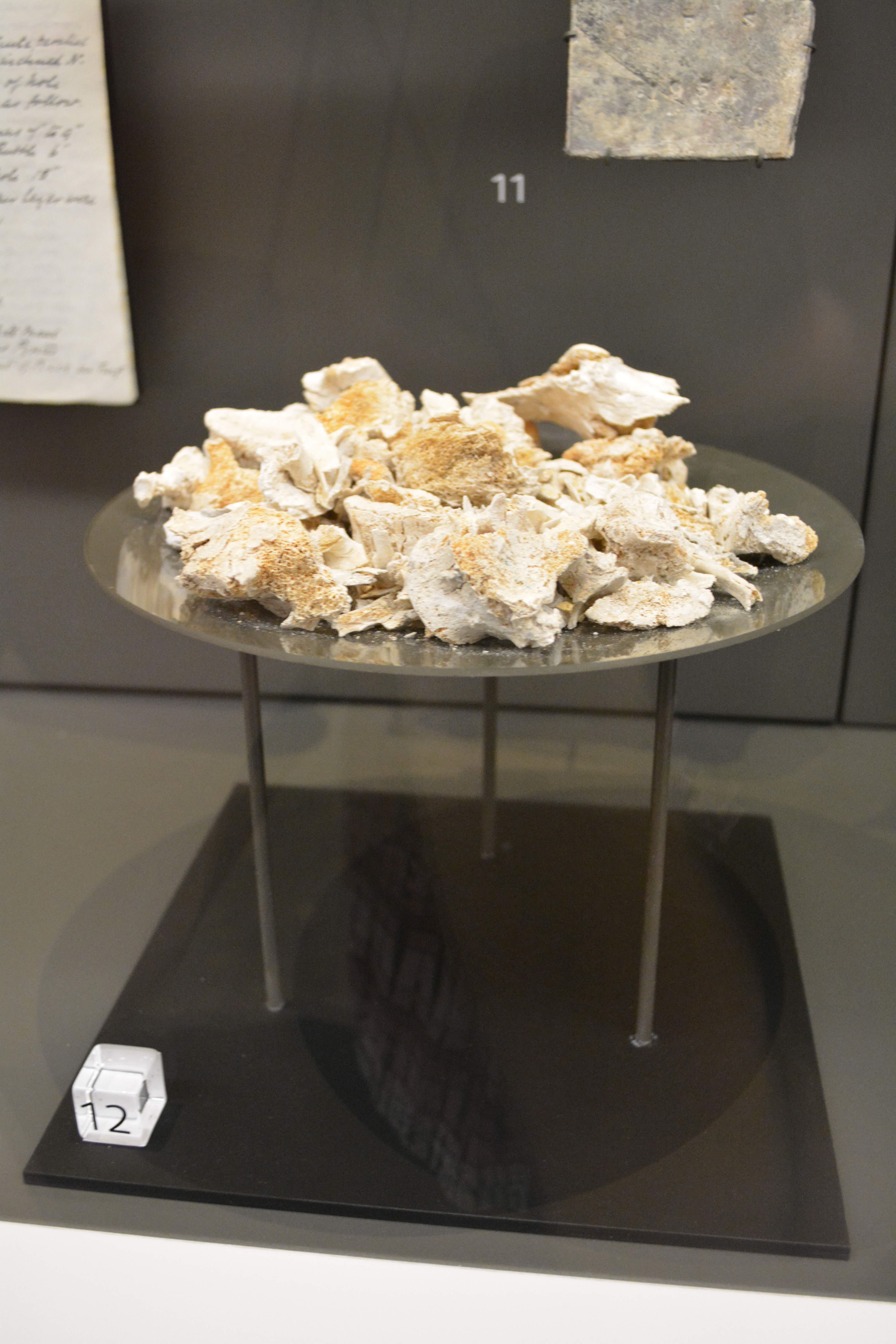
Cremation from Stonehenge ditch fill.jpg - TobyEditor

Copper alloy dagger blade and axehead.jpg - Embedded Data Bot

Figheldean Jade Axe.jpg - TobyEditor

Stonehenge Archer.jpg - Embedded Data Bot

Stonehenge Landscape.jpg - Embedded Data Bot

Barrows north of Stonehenge.jpg - Embedded Data Bot

Durrington Walls house.jpg - TobyEditor
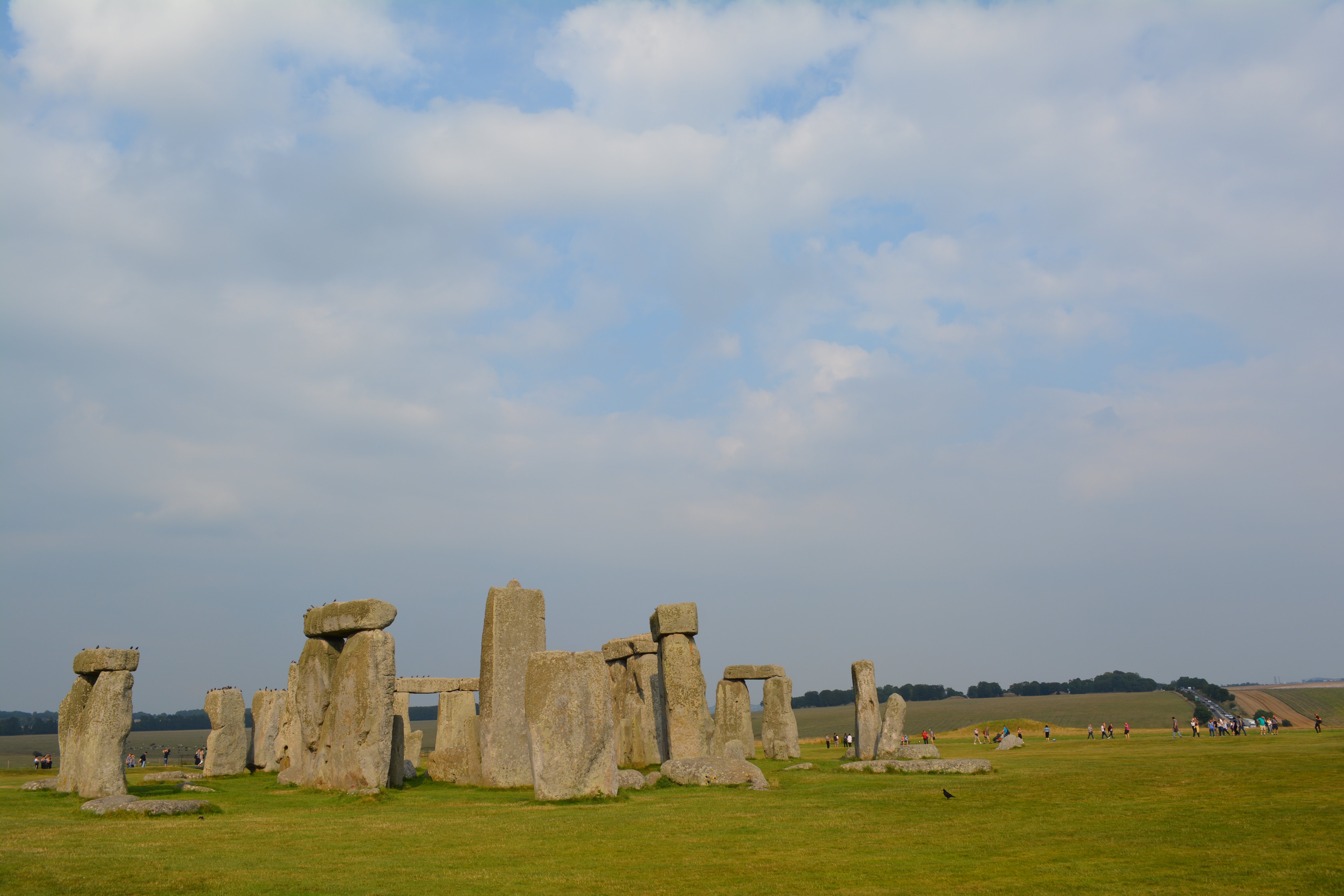
Stonehenge with sky from the SW.jpg - Embedded Data Bot

Stonehenge from SW with henge.jpg - TobyEditor

Ordnance Survey Popular Edition Sheet 112 Marlborough, Published 1919.jpg - Kognos
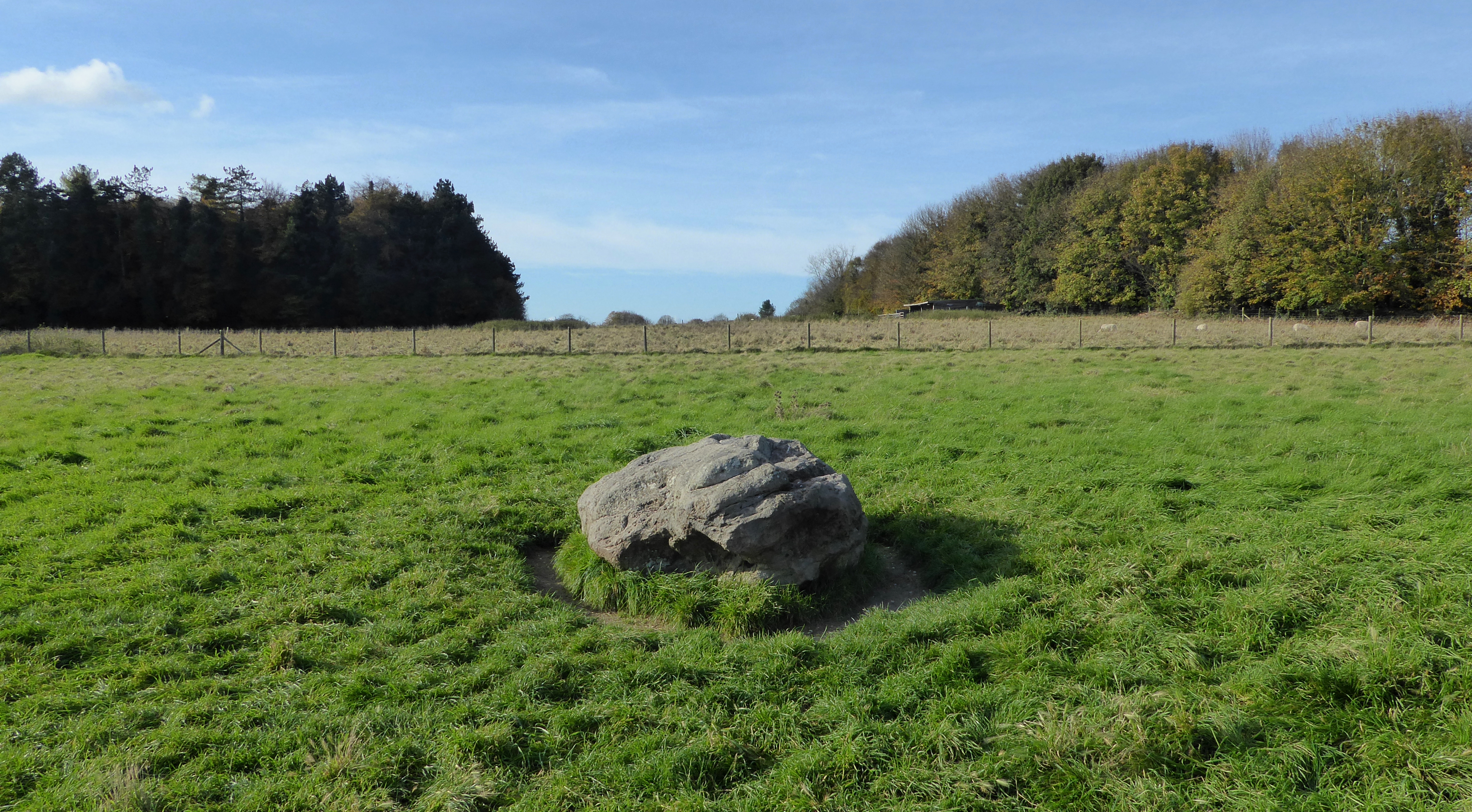
Cuckoo Stone facing Westward.jpg - Doyle of London

The Cuckoo Stone facing East.jpg - Doyle of London
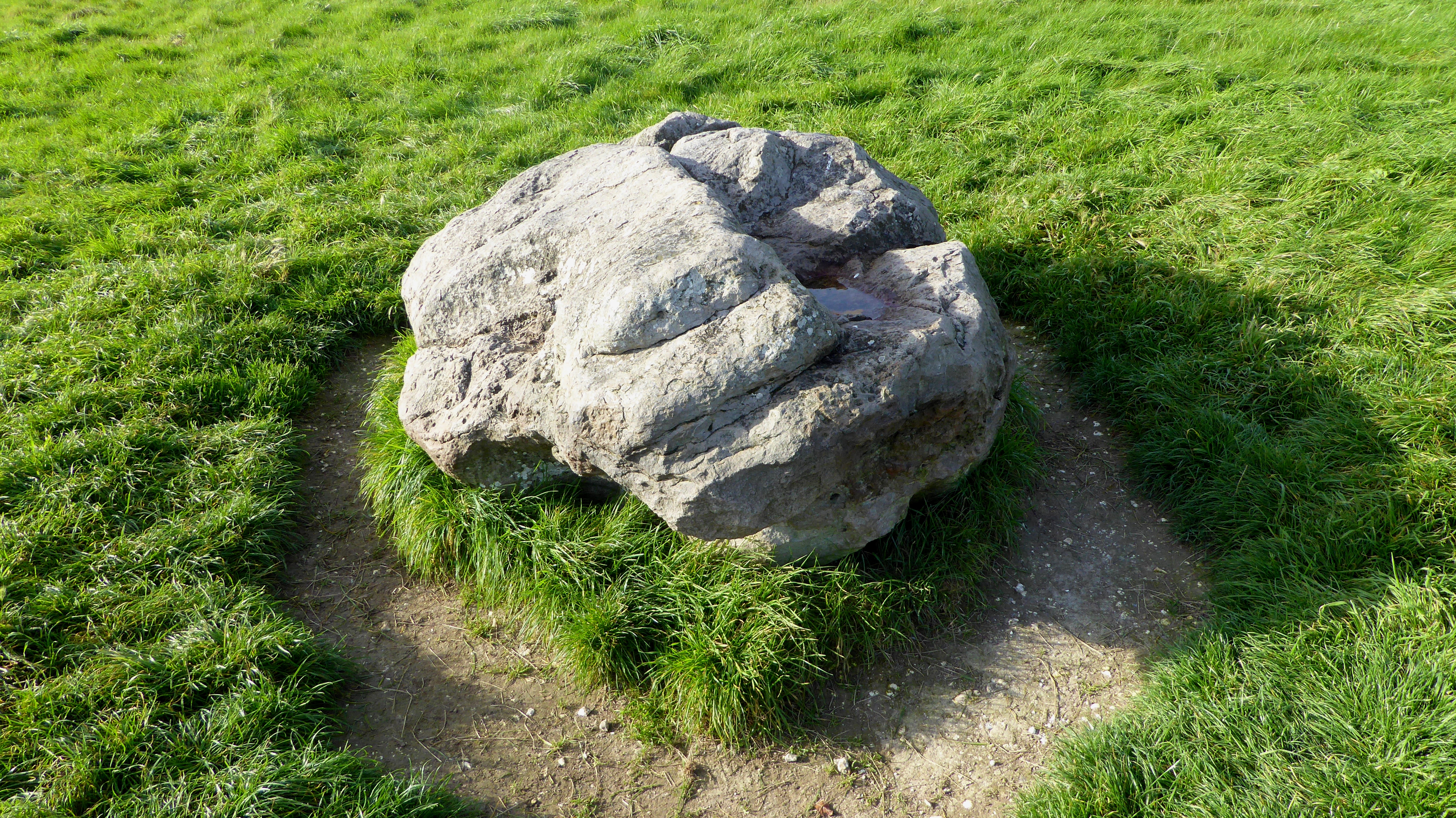
The Cuckoo Stone, Wiltshire.jpg - Doyle of London

Ordnance Survey One-Inch Sheet 167 Salisbury, Published 1960.jpg - Kognos

Ordnance Survey Quarter-inch Sheet 16 Southern England, Published 1966.jpg - Kognos

Ordnance Survey One-Inch Sheet 167 Salisbury, Published 1940.jpg - Kognos

Ordnance Survey One-Inch Sheet 112 Marlborough and Devizes, Published 1919.jpg - Kognos

English Countryside Shrewton United Kingdom Landscape Photography (168525949).jpeg - DarwIn

Geological Map Hampshire Basin Chatwin.jpg - Kognos

Johnson visited Salisbury Plain for UK Army (2).jpg - A1Cafel

Johnson visited Salisbury Plain for UK Army (1).jpg - A1Cafel

Johnson visited Salisbury Plain for UK Army (4).jpg - A1Cafel
The Sheep of Stonehenge.webm - Spontaneous Symmetry
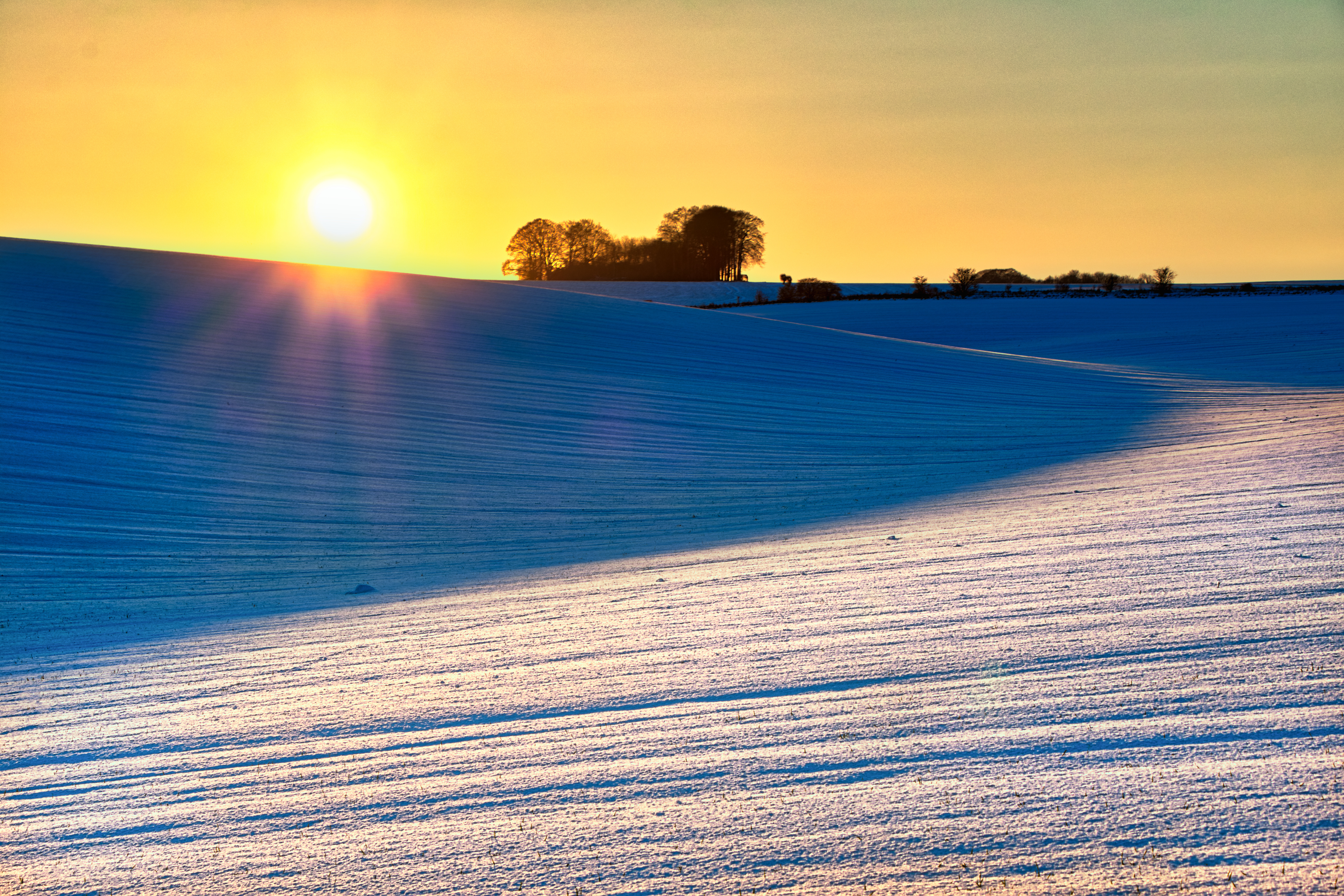
Snowy Sunset on Salisbury Plain.jpg - Юрий Д.К.

Ordnance Survey One-Inch Sheet 167 Salisbury, Published 1971.jpg - Kognos

Stonehenge inner circle.jpg - Beltanemoon

Inside the stones at Stonehenge.jpg - Beltanemoon

Rook sitting on top of a Stonehenge lintel stone.jpg - Beltanemoon

Stonehenge tall inner stones and outer stones, with lintels.jpg - Beltanemoon

Chlorops serenus female, Salisbury Plain, Nine-mile River.jpg - Charc2018