Wikimedi'Òc
Modes d'emploi

Cet album fait partie des albums
Cet album photos contient les sous-albums suivants :


清水橋 境川.jpg - Obu oki

境川水系 (愛知県)流域図.png - At by At
Sakai River, Ano-cho Toyoake 2013.JPG - Tomio344456

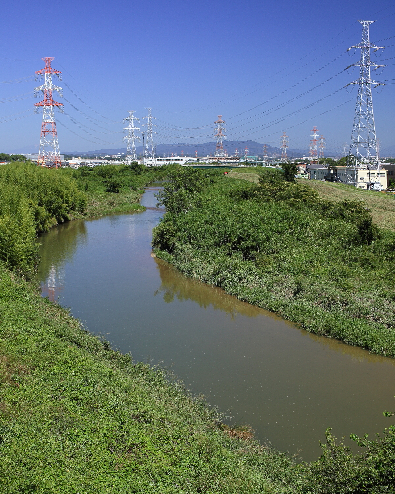
Sakai River, Aizuma-cho Kariya 2013.JPG - Tomio344456

Kuranagase river Obu citya.JPG - Asturio Cantabrio

Map of the Main Rivers and the Basins in Toyota City 2019.png - Tomio344456

Map of the Main Rivers and the Basins in Toyoake City 2018.png - Tomio344456

Map of the Main Rivers and the Basins in Midori Ward Nagoya 2015.png - Tomio344456
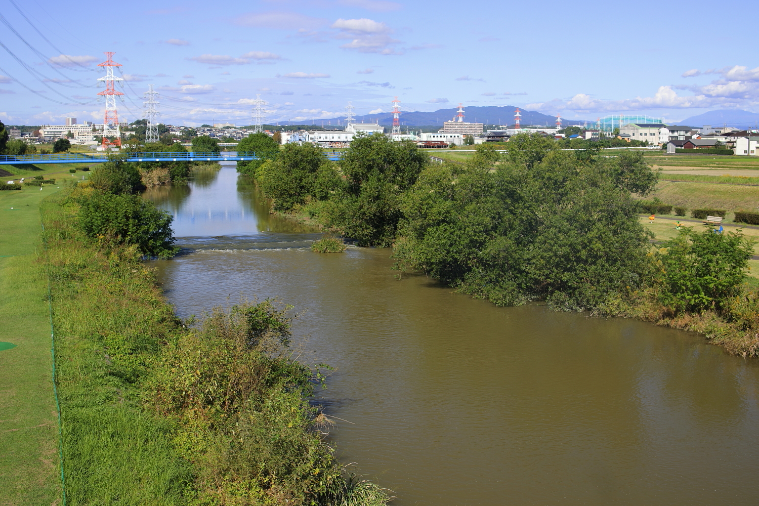
Sakai River, Haruki Togo-cho 2019.jpg - Tomio344456

Toukai-benran-zuryaku 1 Sakaigawa.jpg - Tomio344456

Map of the Main Rivers and the Basins in Nagoya City 2023.svg - Tomio344456

View of Sakai-gawa River from the Top of Tsugaku-hashi Bridge (2), Yabushita Haruki Togo Town 2023.jpg - Tomio344456

View of Sakai-gawa River from the Top of Tsugaku-hashi Bridge (1), Yabushita Haruki Togo Town 2023.jpg - Tomio344456

View of Sakai-gawa River from the Top of Tsugaku-hashi Bridge (3), Yabushita Haruki Togo Town 2023.jpg - Tomio344456
View of Sakai-gawa River from the Top of Tsugaku-hashi Bridge, Shimokawada Nishiishiki-cho Miyoshi City 2023.jpg - Tomio344456