×

Map of the Anadyr Estuary in the Bering Sea- From a Map by the American Engineer Bulkley in 1815, and Corrected According to the Observations of the Clipper "Gaidamak" in 1875 WDL121.png - Fæ

Report Map on the Hydrogeographic Work of Expeditions to the Eastern Ocean and by Squadron Ships in the Eastern Ocean for 1898 and Preceeding Years WDL182.png - Fæ

1913-map-arctic.png - Ivtorov

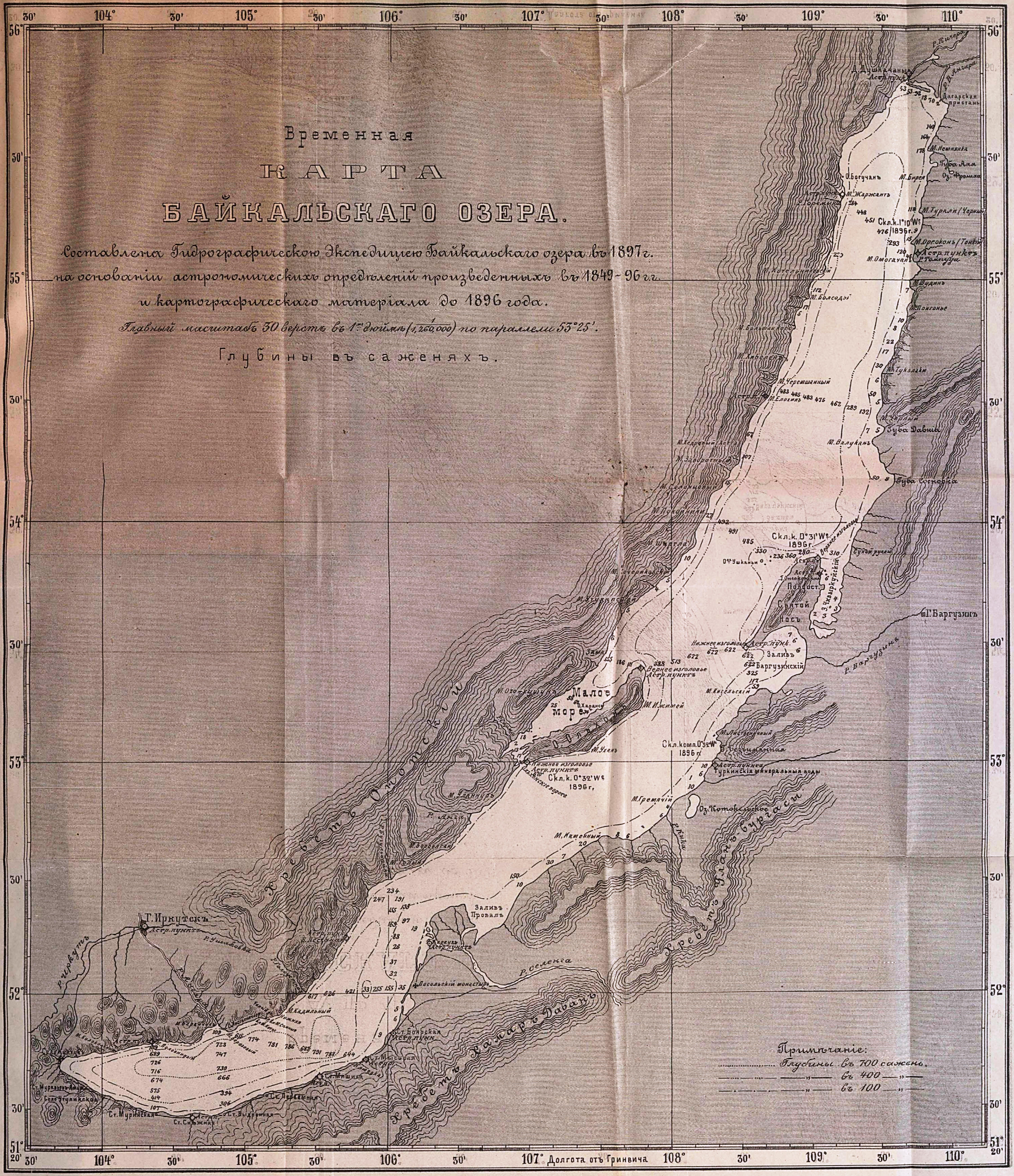
Карта Байкала (1897).jpg - Pticy uleteli

Emperor Nicholas II Land 1913-map-arctic.png - Xufanc
❮
❯


