Wikimedi'Òc
Modes d'emploi

Cet album fait partie des albums
Cet album photos contient les sous-albums suivants :


Cow parsley along the cart-track.jpg - FotoDutch

Concrete path through the meadows near Hooghalen.jpg - FotoDutch

Birch trees on the high moor Fochterloerveen, near Bovensmilde.jpg - FotoDutch

Birches in spring on the moor of Fchterloerveen.jpg - FotoDutch

Trees on the moor, Fochterloereveen, Drenthe.jpg - FotoDutch

A close-up view of a grove of small birches trees on the peat soil of Föchteloërveen; The North-Netherlands.jpg - FotoDutch

A birche in a grove in the peat Föchteloërveen, North-Netherlands, spring 2012..jpg - FotoDutch

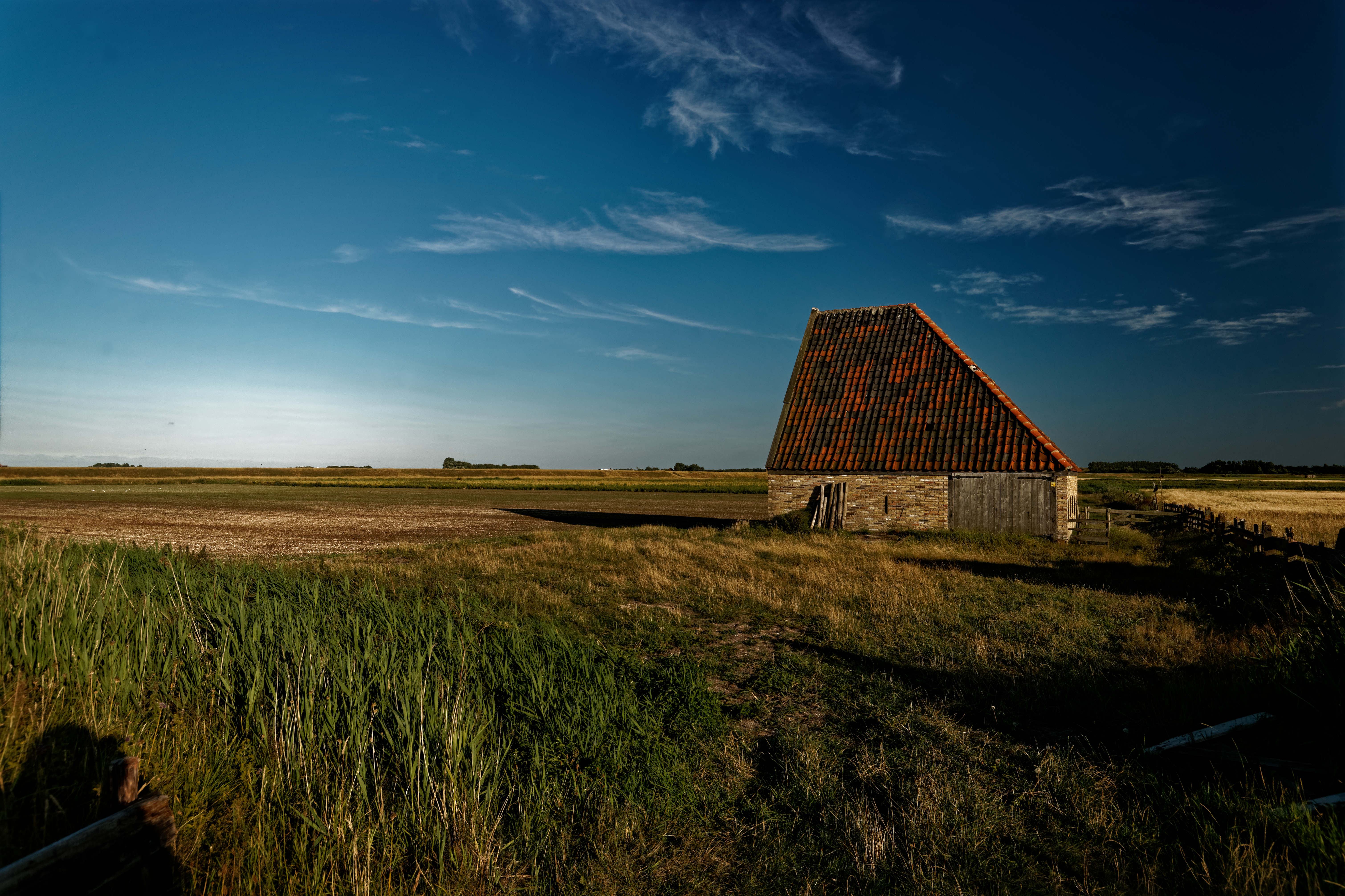
Fields and large barn in the evening set on Laaghalerveen, landscape Netherlands, 2012.jpg - FotoDutch

Evening-view over fieds and meadows on the grounds of Laaghalerveen; Drenthe; the Netherlands, FotoDutch, May 2012.jpg - FotoDutch

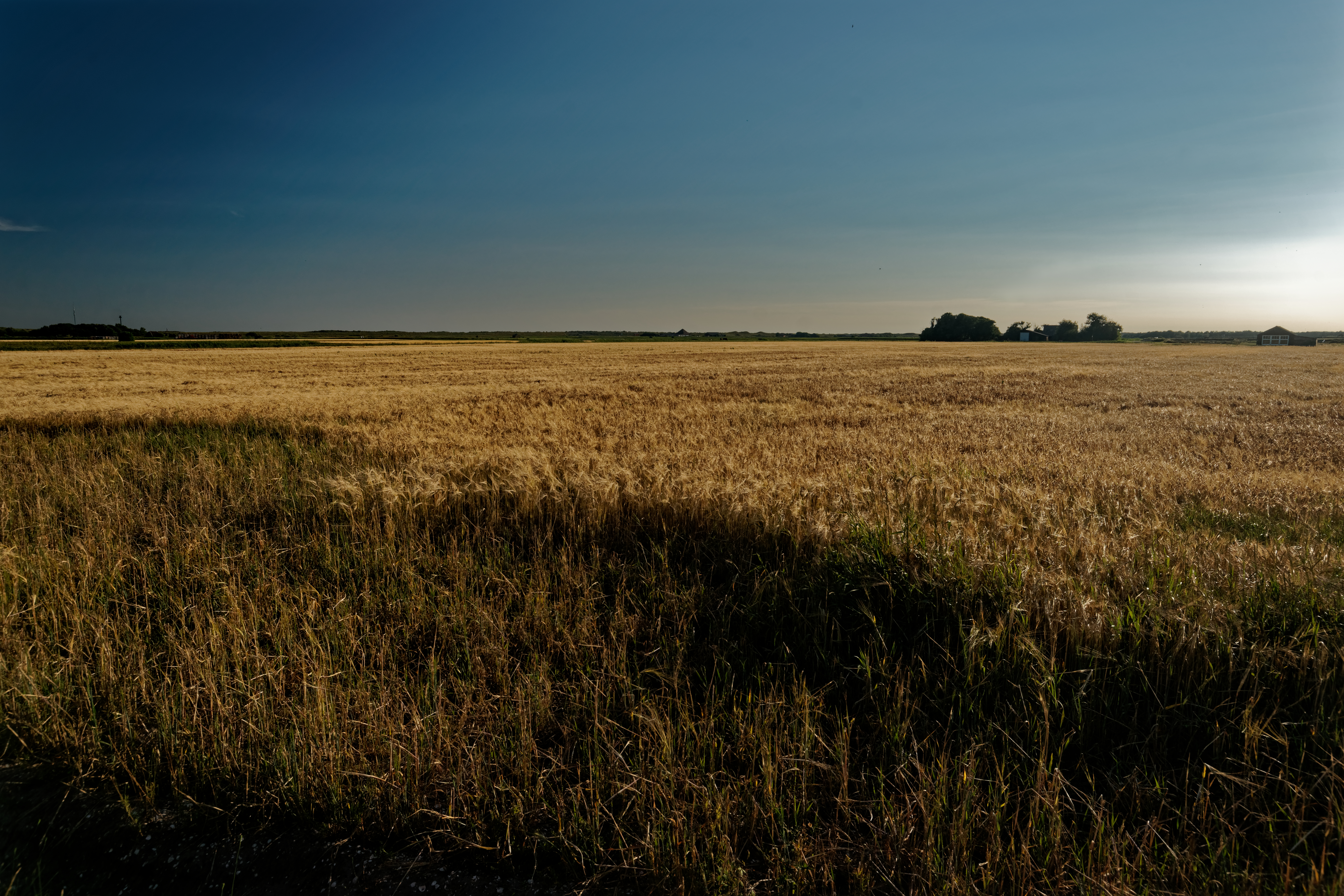
Texel - Den Hoorn - Lagewegje - View SSE over Barleyfield.jpg - Txllxt TxllxT

Texel - Den Hoorn - Hoornderweg - View NE through Entrance Gate of 'Landbouwdag'.jpg - Txllxt TxllxT

Texel - Watermolenweg - Near Havensluis - View SW.jpg - Txllxt TxllxT

Texel - Watermolenweg - Near Havensluis - View South.jpg - Txllxt TxllxT

Texel - Watermolenweg - Near Havensluis - ICE Photocompilation Viewing from South to SW.jpg - Txllxt TxllxT

Texel - Watermolenweg - Near Havensluis - View SE.jpg - Txllxt TxllxT

Texel - Watermolenweg - Near Havensluis - View North.jpg - Txllxt TxllxT

Texel - Watermolenweg - Near Havensluis - View NNE.jpg - Txllxt TxllxT

Texel - Watermolenweg - Near Havensluis - View NE.jpg - Txllxt TxllxT

Texel - Watermolenweg - Near Havensluis - View East.jpg - Txllxt TxllxT

Texel - Watermolenweg - Near Havensluis - View ENE.jpg - Txllxt TxllxT

Texel - Watermolenweg - Near Havensluis - View East II.jpg - Txllxt TxllxT

Texel - Watermolenweg - Near Havensluis - ICE Photocompilation Viewing from NW to East.jpg - Txllxt TxllxT

Texel - Watermolenweg - Near Havensluis - View South on traditional 'Schapenboet' - Shelter for Sheep.jpg - Txllxt TxllxT

Texel - Watermolenweg - View WSW II.jpg - Txllxt TxllxT

Texel - Watermolenweg - View West II.jpg - Txllxt TxllxT

Texel - Watermolenweg - View WNW II.jpg - Txllxt TxllxT
Texel - Watermolenweg - View SW II.jpg - Txllxt TxllxT

Texel - Watermolenweg - View SSW II.jpg - Txllxt TxllxT

Texel - Watermolenweg - View South II.jpg - Txllxt TxllxT

Texel - Watermolenweg - View South III.jpg - Txllxt TxllxT

Texel - Watermolenweg - View SSE I.jpg - Txllxt TxllxT
Texel - Watermolenweg - View SE II.jpg - Txllxt TxllxT

Texel - Watermolenweg - View SSE II.jpg - Txllxt TxllxT

Texel - Watermolenweg - View South IV.jpg - Txllxt TxllxT

Texel - Watermolenweg - View SSW III.jpg - Txllxt TxllxT

Texel - Watermolenweg - ICE Photocompilation Viewing from SE to SW.jpg - Txllxt TxllxT
Texel - Watermolenweg - View SSW IV.jpg - Txllxt TxllxT

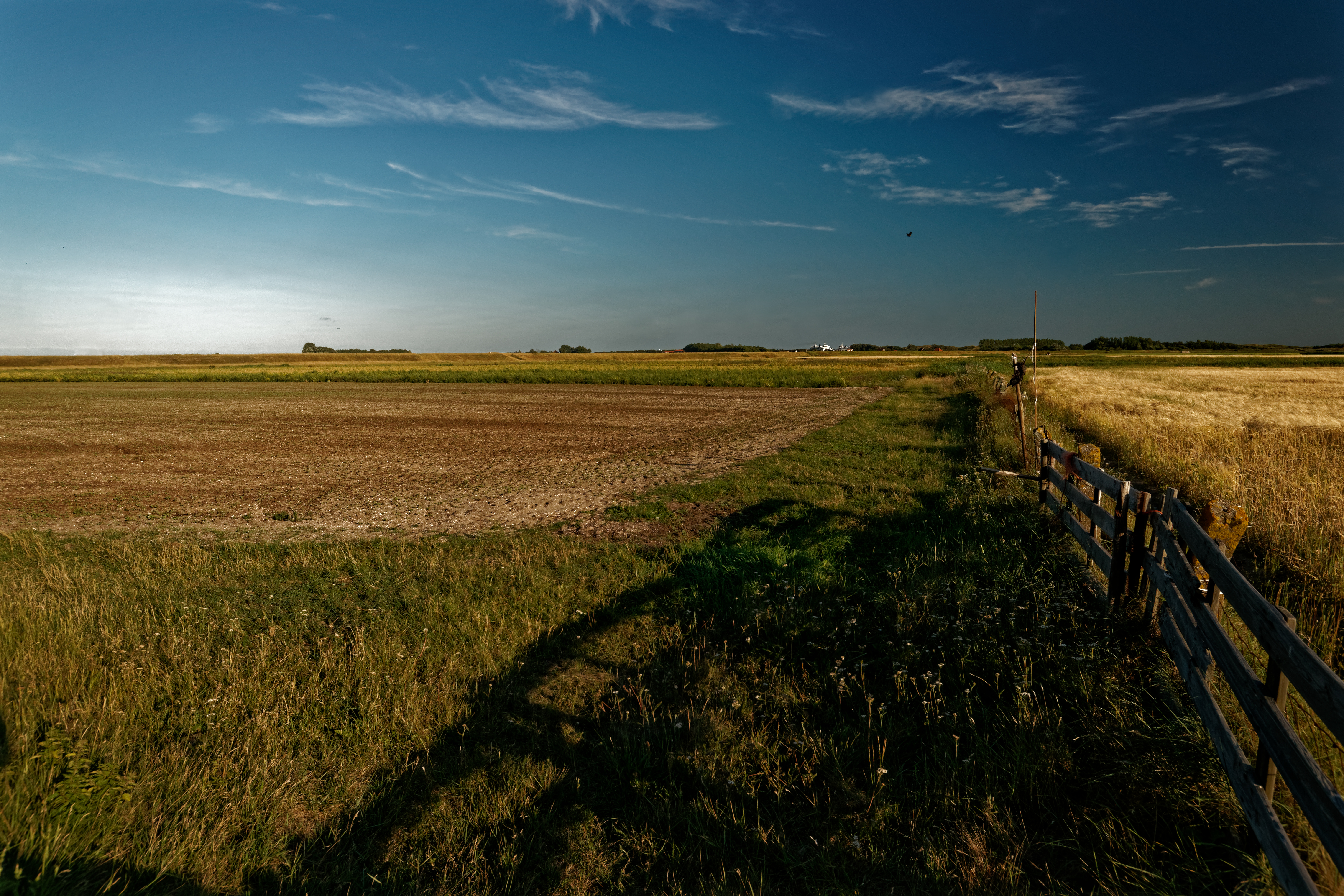
Texel - Watermolenweg - ICE Photocompilation Viewing from South to West on Field of Barley - Gerst.jpg - Txllxt TxllxT

Texel - Watermolenweg - View WSW III.jpg - Txllxt TxllxT

Texel - Watermolenweg - View SW III.jpg - Txllxt TxllxT
Texel - Watermolenweg - View SE III.jpg - Txllxt TxllxT

Texel - Watermolenweg - View SSW V.jpg - Txllxt TxllxT

Texel - Watermolenweg - View SW IV.jpg - Txllxt TxllxT

Texel - Watermolenweg - View East II.jpg - Txllxt TxllxT

Texel - Watermolenweg - ICE Photocompilation Viewing from SE to SW II.jpg - Txllxt TxllxT

Texel - Watermolenweg - View ENE III.jpg - Txllxt TxllxT

Texel - Watermolenweg - View NE III.jpg - Txllxt TxllxT

Texel - Watermolenweg - View North V.jpg - Txllxt TxllxT

Texel - Watermolenweg - View NNE II.jpg - Txllxt TxllxT

Texel - Watermolenweg - View NNW III.jpg - Txllxt TxllxT

Texel - Watermolenweg - View NW II.jpg - Txllxt TxllxT

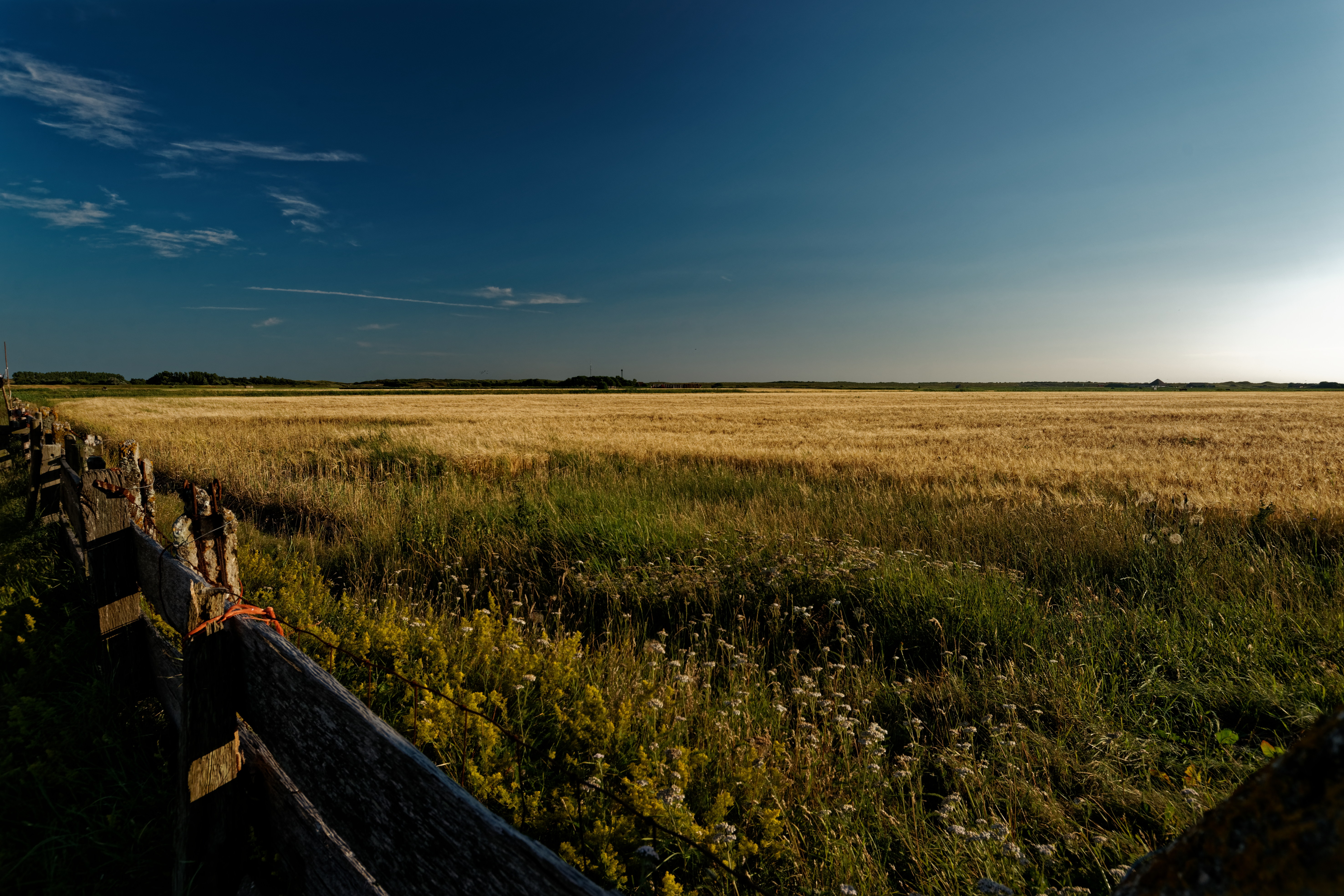
Texel - Watermolenweg - ICE Photocompilation Viewing from NW to East on Barley field.jpg - Txllxt TxllxT

Texel - Stolpweg - Bicyclepath - View South on former situation of the village Den Hoorn.jpg - Txllxt TxllxT

Texel - Den Hoorn - Stolpweg - Bicyclepath - View NNW towards Den Hoorn.jpg - Txllxt TxllxT

Texel - Den Hoorn - Stolpweg - Bicyclepath - View NE.jpg - Txllxt TxllxT

Texel - Den Hoorn - Stolpweg - Bicyclepath - View NNE.jpg - Txllxt TxllxT

Texel - Den Hoorn - Stolpweg - Bicyclepath - View North II.jpg - Txllxt TxllxT

Texel - Den Hoorn - Stolpweg - Bicyclepath - View North I.jpg - Txllxt TxllxT

Texel - Den Hoorn - Stolpweg - Bicyclepath - View NNW.jpg - Txllxt TxllxT

Texel - Den Hoorn - Stolpweg - View NW.jpg - Txllxt TxllxT

Texel - Den Hoorn - Stolpweg - Bicyclepath - ICE Photocompilation Viewing from NW to NE on Field of Barley - Gerst.jpg - Txllxt TxllxT

Texel - Den Hoorn - Stolpweg - View WNW.jpg - Txllxt TxllxT

Texel - Den Hoorn - Stolpweg - View West.jpg - Txllxt TxllxT

Texel - Den Hoorn - Stolpweg - View WSW.jpg - Txllxt TxllxT

Texel - Den Hoorn - Stolpweg - ICE Photocompilation Viewing from WSW to NNW on Barley field.jpg - Txllxt TxllxT

Texel - Hoge Berg - Leemkuul - Footpath - View NNW.jpg - Txllxt TxllxT

Texel - De Grie - V.O.C. Harbour of Den Hoorn reconstructed in 2008 - July 2010 01.jpg - Txllxt TxllxT

Texel - De Groe - V.O.C. Harbour of Den Hoorn reconstructed in 2008 - July 2010 02.jpg - Txllxt TxllxT

Texel - De Groe - V.O.C. Harbour of Den Hoorn reconstructed in 2008 - July 2010 03.jpg - Txllxt TxllxT

Texel - De Grie - V.O.C. Harbour of Den Hoorn reconstructed in 2008 - July 2010 06.jpg - Txllxt TxllxT

Texel - De Groe - V.O.C. Harbour of Den Hoorn reconstructed in 2008 - July 2010 04.jpg - Txllxt TxllxT

Texel - De Groe - V.O.C. Harbour of Den Hoorn reconstructed in 2008 - July 2010 05.jpg - Txllxt TxllxT

Texel - De Groe - V.O.C. Harbour of Den Hoorn reconstructed in 2008 - July 2010 07.jpg - Txllxt TxllxT

Texel - Hoge Berg - Zuid Haffel - Footpath - July 2010 01.jpg - Txllxt TxllxT

Fliesengemälde bäuerliche Landschaft, tile panel rural landscape - Utrecht ca. 1880.JPG - Tozina