Wikimedi'Òc
Modes d'emploi

Cet album fait partie des albums
Cet album photos contient les sous-albums suivants :


Ruins, Windmill Farm - geograph.org.uk - 104666.jpg - GeographBot

Derelict farm building in Checkendon, Oxfordshire.jpg - GeographBot

North America Farm ruins.jpg - Kelly

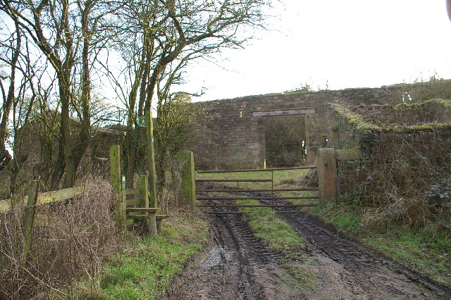
Farm near Haighs Cross - panoramio (1).jpg - Panoramio upload bot

Ruin at Toot Hill End, Sowerby - geograph.org.uk - 4878302.jpg - GeographBot

The ruins of the Water Scout farmhouse, Northowram - geograph.org.uk - 4928860.jpg - GeographBot

Halifax FP314 passing the ruins of the Water Scout farm buildings, Northowram - geograph.org.uk - 4928868.jpg - GeographBot

Ruins of Moor End, Sowerby - geograph.org.uk - 4998786.jpg - GeographBot

Footpath towards the site of Hunter Hill Farm, Ovenden - geograph.org.uk - 5025253.jpg - GeographBot

Ruins of Hunter Hill Farm, Ovenden - geograph.org.uk - 5025294.jpg - GeographBot

Ruins of Teeming Hill, Mixenden, Ovenden - geograph.org.uk - 5025357.jpg - GeographBot

Ruins of Field Head, Mixenden, Ovenden - geograph.org.uk - 5025394.jpg - GeographBot

The remains of Ramsden, Halifax - geograph.org.uk - 5446605.jpg - GeographBot

Ruin of Fulshaw - geograph.org.uk - 5539741.jpg - GeographBot

Part of the site of -Hollas Fold, Hollas Lane, Norland - geograph.org.uk - 5634427.jpg - GeographBot

Ruin of Upper Place Farm, Dark Lane, Southowram - geograph.org.uk - 6451726.jpg - GeographBot

Dark Lane passing the ruin of Upper Place Farm, Southowram - geograph.org.uk - 6451727.jpg - GeographBot

The ruined Great Clough farmstead - geograph.org.uk - 6506497.jpg - GeographBot

The ruined Rams Clough farmstead (northern part) - geograph.org.uk - 6506541.jpg - GeographBot

Brighouse Footpath 48-1 passing the ruins of South Holme Farm, Southowram - geograph.org.uk - 7291451.jpg - GeographBot