×

Ruins of Kelp House, Rathlin Island - geograph.org.uk - 7677904.jpg - GeographBot

Arch, Downhill, county Antrim.jpg - BetacommandBot

Old Ruin - geograph.org.uk - 345481.jpg - GeographBot

Ruin - geograph.org.uk - 445193.jpg - GeographBot

Ruin on Rathlin - geograph.org.uk - 441761.jpg - GeographBot

Deserted Village - geograph.org.uk - 464820.jpg - GeographBot

Layd - geograph.org.uk - 467713.jpg - GeographBot

Ouig - geograph.org.uk - 464707.jpg - GeographBot

Ouig - geograph.org.uk - 464724.jpg - GeographBot

Ruined Cottages - geograph.org.uk - 469247.jpg - GeographBot

Ruined Crofts - geograph.org.uk - 464814.jpg - GeographBot

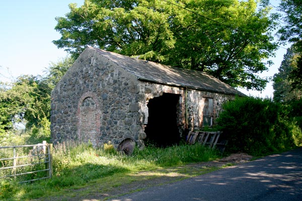
Ruined farm buildings, Islandmagee - geograph.org.uk - 470574.jpg - GeographBot

The former Gortgole National School - geograph.org.uk - 474996.jpg - GeographBot

Ruin at Skeagh - geograph.org.uk - 535935.jpg - GeographBot

Rathlin Ruin - geograph.org.uk - 550890.jpg - GeographBot

Ruined cottage at Mount Pleasant - geograph.org.uk - 668030.jpg - GeographBot

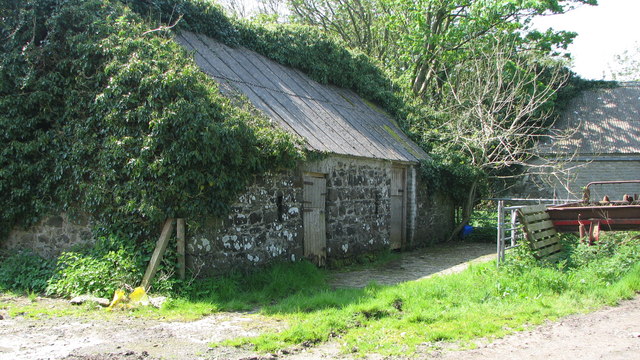
Derelict farm buildings - geograph.org.uk - 792650.jpg - GeographBot

Derelict farm buildings - geograph.org.uk - 792655.jpg - GeographBot

Stone cottage - geograph.org.uk - 852676.jpg - GeographBot

Disused poultry processing plant - geograph.org.uk - 867310.jpg - GeographBot
❮
❯


