Wikimedi'Òc
Modes d'emploi

Cet album fait partie des albums
Cet album photos contient les sous-albums suivants :


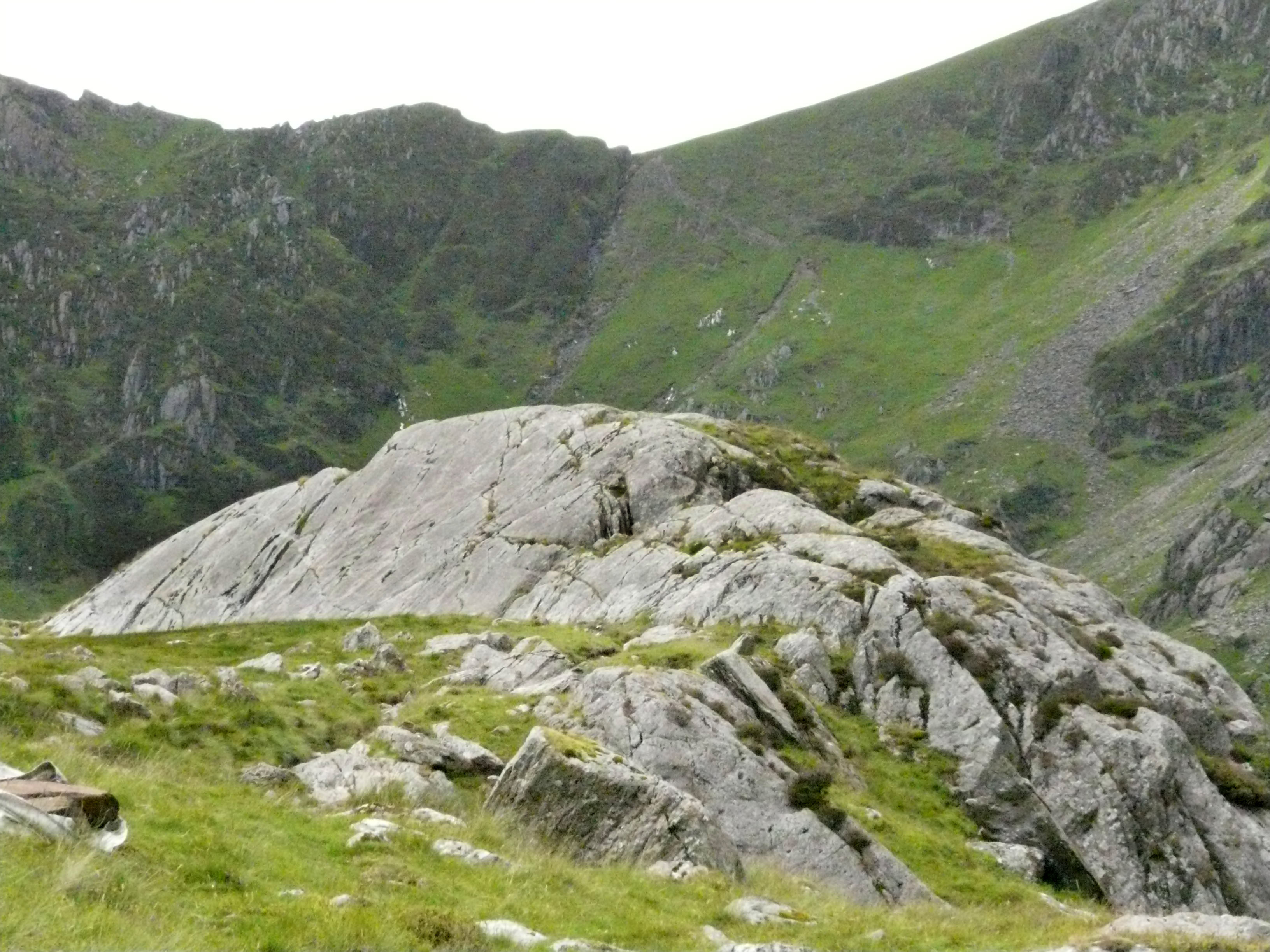
Roche Moutonnée Cadair Idris.jpg - Reguiieee~commonswiki

Adam and Eve on Tryfan - geograph.org.uk - 57522.jpg - GeographBot

Llechog - geograph.org.uk - 47694.jpg - GeographBot

Craig Yr Allor, Nr. Treban Meurig, Anglesey. - geograph.org.uk - 108902.jpg - GeographBot

Sculptural rocks - geograph.org.uk - 160636.jpg - GeographBot

Rhyolite Outcrop, near Afon Gyrach - geograph.org.uk - 242567.jpg - GeographBot
Spectrasite-Transco Relay Station on Mynydd y Gwaith - geograph.org.uk - 242946.jpg - GeographBot
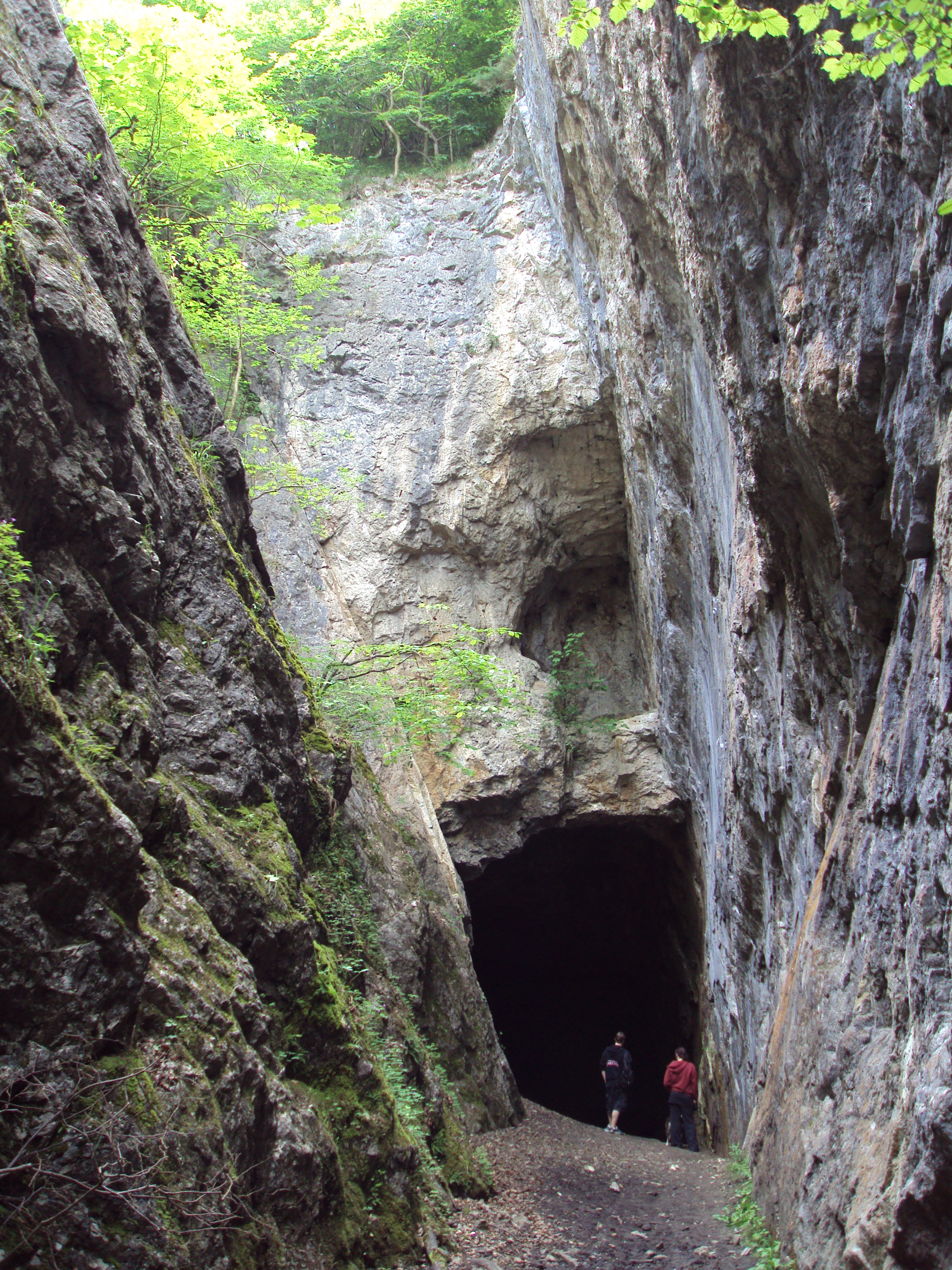
Devil's Gorge, near Loggerheads - DSC06397.JPG - Green Lane

Devil's Gorge, near Loggerheads - DSC06393.JPG - Green Lane

Devil's Gorge, near Loggerheads - DSC06396.JPG - Green Lane

Angel formation at Dan-yr-Ogof show cave - geograph.org.uk - 270150.jpg - GeographBot

Curtain formation in Dan-yr-Ogof show cave - geograph.org.uk - 270161.jpg - GeographBot

Cerrig y Bala - geograph.org.uk - 353843.jpg - GeographBot

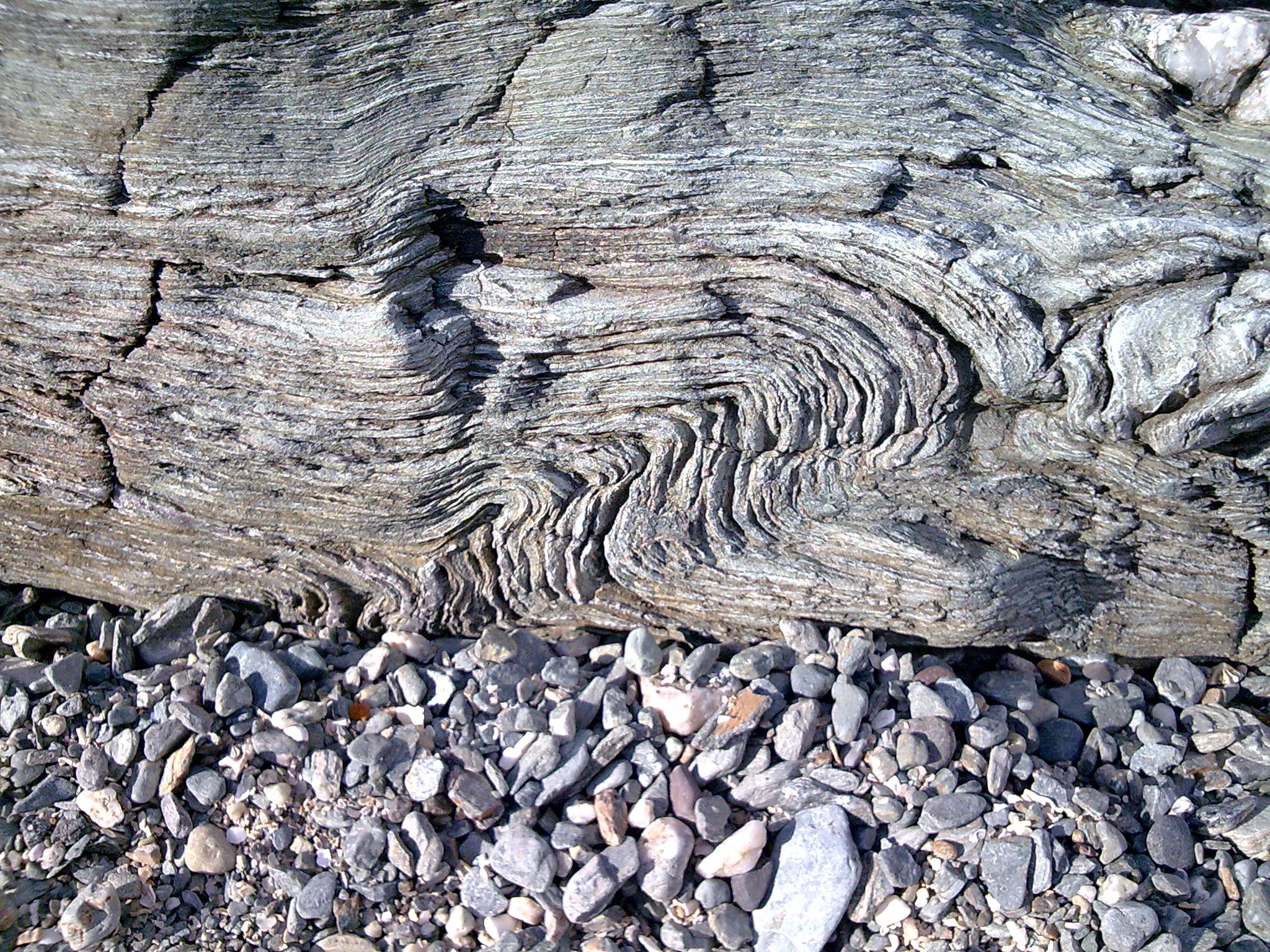
Rock Strata near Wiseman's Bridge - geograph.org.uk - 569908.jpg - GeographBot
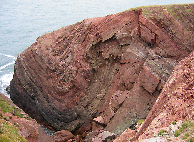
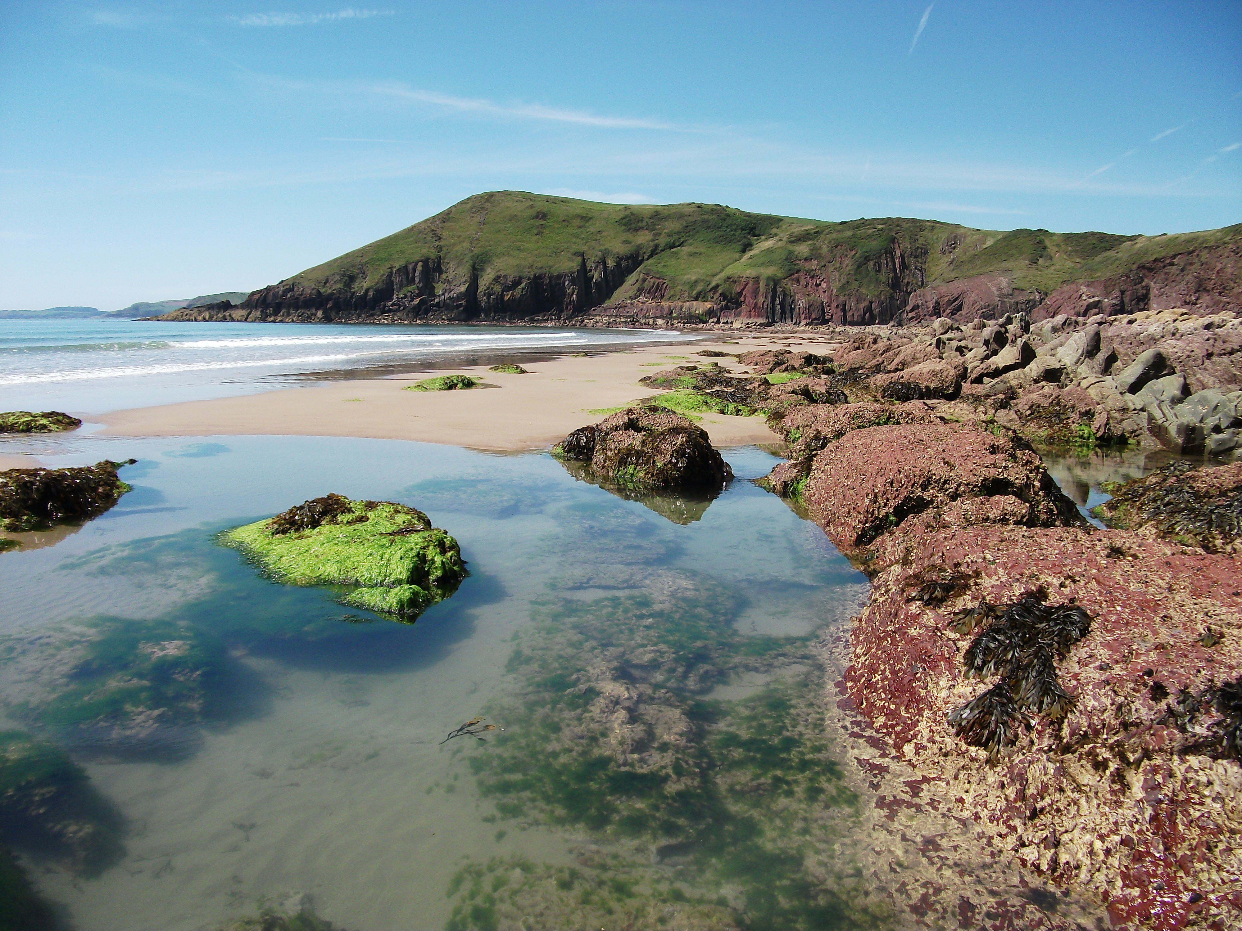
Folded Old Red Sandstone at St Annes Head - geograph.org.uk - 629204.jpg - GeographBot

View over Fishguard Bay - geograph.org.uk - 696046.jpg - GeographBot

Rock strata at Aberystwyth - geograph.org.uk - 744854.jpg - GeographBot
Rock Fold.jpg - File Upload Bot (Magnus Manske)

Poll Carn with the Prescelly Mountains - geograph.org.uk - 1054129.jpg - GeographBot

A narrow section near the summit of Rhinog Fawr - geograph.org.uk - 1337140.jpg - GeographBot

Field wall with outcrop - geograph.org.uk - 1358071.jpg - GeographBot

Tal y Fan Volcanic Formation - geograph.org.uk - 1358089.jpg - GeographBot
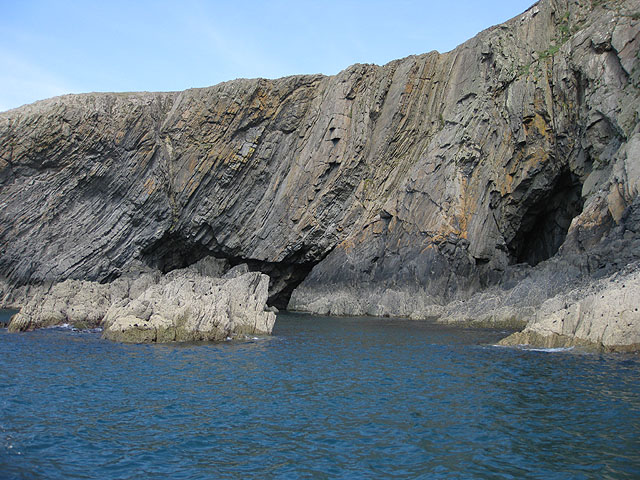
Cave and cliffs, Ramsey Island - geograph.org.uk - 1501354.jpg - GeographBot

Rock face behind the flooded quarry - geograph.org.uk - 1503147.jpg - GeographBot

Rocks in Porth Lleuog - geograph.org.uk - 1575081.jpg - GeographBot

Wave-cut platform below Allt Wen - geograph.org.uk - 1748657.jpg - GeographBot

Folded and cracked strata below Allt Wen - geograph.org.uk - 1751713.jpg - GeographBot

Folded strata below Allt Wen - geograph.org.uk - 1750035.jpg - GeographBot

Wave-cut platform below Allt Wen - geograph.org.uk - 1751658.jpg - GeographBot

Poll Carn - geograph.org.uk - 645407.jpg - GeographBot

Rhinogydd Rock Markings (3).jpg - Talsarnau Times

Rhinogydd Rock Markings (2).jpg - Talsarnau Times

Rhinogydd Rock Markings (1).jpg - Talsarnau Times

Geology of the Rhinogau.jpg - Talsarnau Times
Moelfre rock column IMG 5615c.jpg - Talsarnau Times

Rock overhang in Northern Rhinogs DSC03958c.jpg - Talsarnau Times

Ynys Llanddwyn Rock IMG 0221 -1.jpg - Talsarnau Times

Ogmore 3.jpg - Purple128

Ogmore 5.jpg - Purple128

Porthcawl beach (7961784428).jpg - Russavia

The descent of the Tawy, seen from the Cribbath lime rock.jpeg - Jason.nlw

Pistill Rhaiadr - a great cataract in north Wales.jpeg - Jason.nlw

Stock rock, Milford Haven Octr 1 1790.jpeg - Jason.nlw

Pistyll Rhaiadr.jpeg - Jason.nlw

Carreg Diddos.jpeg - Jason.nlw

Hugh Llwyd's Pulpit.jpeg - Jason.nlw

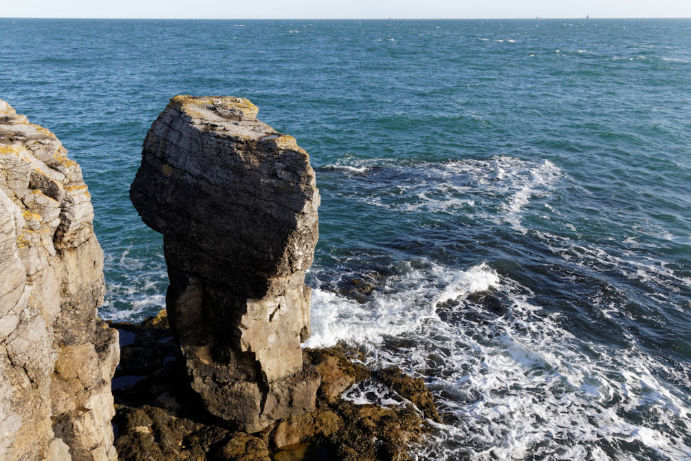
The Eligug stack - near St. Gowans-head, Pembrokeshire- Septr 1st 1814.jpeg - Jason.nlw

Hugh Lloyd's Pulpit, N. Wales.jpeg - Jason.nlw

View of the Cribbath lime rock, upon the river Tawe.jpeg - Jason.nlw

Bishop's throne Anglesey.jpeg - Jason.nlw

Castell y Gwynt.jpg - Shieladixon

Tenby, view through St. Catherine’s Island - geograph.org.uk - 2026296.jpg - GeographBot
Rockpool at Swanlake Bay - geograph.org.uk - 2488767.jpg - GeographBot

Friars Point, Barry - geograph.org.uk - 2583718.jpg - GeographBot

Friars Point, Barry - geograph.org.uk - 2583721.jpg - GeographBot

Friars Point, Barry Island, July 2023 01.jpg - BigDom

Tidal Rock Formation and Yr Eifl Ridge from Llanddwyn Island – July 2025.jpg - TXGemGem

Coastal Rock Formations at Sunset, Llanddwyn Island – July 2025.jpg - TXGemGem