Wikimedi'Òc
Modes d'emploi

Cet album fait partie des albums
Cet album photos contient les sous-albums suivants :


211 pumice castle.JPG - Llywrch

OldManRock NorthUmpquaRiver.jpg - Holly Cheng

Cannon Beach US131.jpg - Laban66

Bandon Oregon Coastal rocks 02.jpg - Jmabel
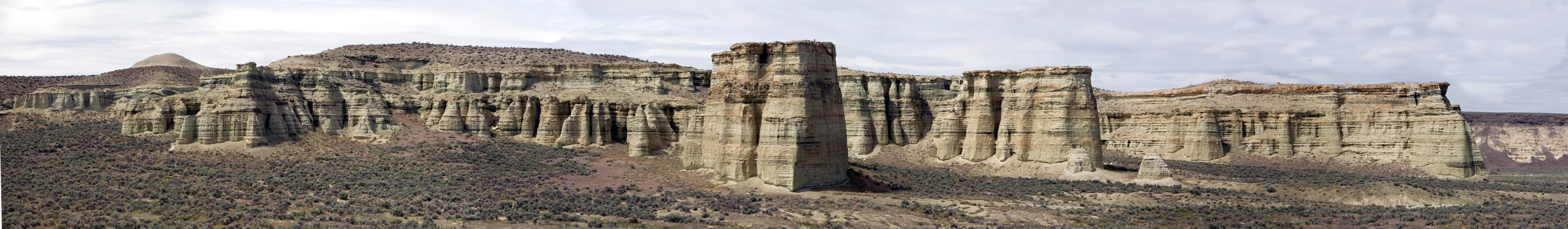
PillarsOfRomePano1.jpg - Cacophony

ButeRockEdge.jpg - Bobjgalindo

Beach-overlook5-OR.jpg - GaylaLin

Columbia River Basalt Group 2641.JPG - Wsiegmund

Columbia River Basalt Group 2642.JPG - Wsiegmund

Avenue of the Giant Boulders (Falls).jpg - Louis Ruth Photography
Gearhart Mountain Wilderness.jpg - File Upload Bot (Magnus Manske)

Three Fingered Jack in summer 2011 (12).JPG - Chmee2

SHORELINE NORTHWARD FROM DEPOE BAY - NARA - 520104.jpg - US National Archives bot

Cliff Rock on Forest Boundary, Mckay Creek, Ochoco Forest, 1914. - NARA - 299179.jpg - US National Archives bot

CCC Camp BR-88, 89 and 90, Deschutes Project, Oregon, CCC enrollees drilling large rocks near Smith Rock, Deschutes... - NARA - 293603.jpg - US National Archives bot

CCC Camps BR-88, 89 and 90, Deschutes Project, Oregon, CCC enrollees excavating construction road near Smith Rock... - NARA - 293604.jpg - US National Archives bot

Nye Beach Rocks (Newport, Oregon).jpg - Visitor7

Bandon Beach Rocks (Coos County, Oregon scenic images) (cooDA0016).jpg - Smallbot

Monkey Face (Deschutes County, Oregon scenic images) (desDB1668).jpg - Smallbot

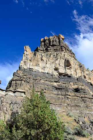
Hamilton Rock Formation (Grant County, Oregon scenic images) (graDA0055).jpg - Smallbot

Hamilton Rock Formation (Grant County, Oregon scenic images) (graDA0056).jpg - Smallbot

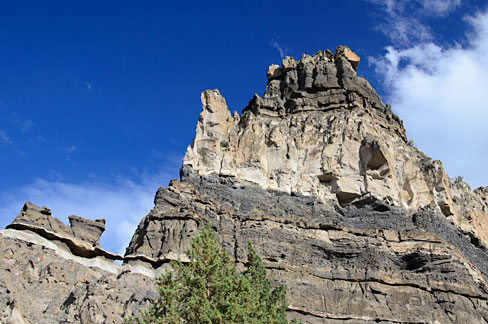
Foree Area Rock Formation (Grant County, Oregon scenic images) (graDA0053).jpg - Smallbot

Devine Canyon (Harney County, Oregon scenic images) (harDA0016).jpg - Smallbot

Devine Canyon (Harney County, Oregon scenic images) (harDA0019a).jpg - Smallbot

Devine Canyon (Harney County, Oregon scenic images) (harDA0026).jpg - Smallbot

Devine Canyon (Harney County, Oregon scenic images) (harDA0021).jpg - Smallbot
Whitehorse Ranch Road (Harney County, Oregon scenic images) (harDA0130a).jpg - Smallbot

Drewsey Area Rocks (Harney County, Oregon scenic images) (harDA0021b).jpg - Smallbot

Drewsey Area Rocks (Harney County, Oregon scenic images) (harDA0024).jpg - Smallbot

Rock Formation (Hood River County, Oregon scenic images) (hooDA0071).jpg - Smallbot

Cove Palisades Bridge (Jefferson County, Oregon scenic images) (jefDA0157).jpg - Smallbot

Cove Palisades Bluffs (Jefferson County, Oregon scenic images) (jefDB1354).jpg - Smallbot

Cove Palisades Bluffs (Jefferson County, Oregon scenic images) (jefDB1356).jpg - Smallbot
Cove Palisades Bluffs (Jefferson County, Oregon scenic images) (jefDB1373).jpg - Smallbot
Cove Palisades Bluffs (Jefferson County, Oregon scenic images) (jefDB1370).jpg - Smallbot

Christmas Valley Area Rocks (Lake County, Oregon scenic images) (lakDA0056).jpg - Smallbot

Seal Rock Area (Lincoln County, Oregon scenic images) (lincDA0061).jpg - Smallbot

Succor Creek State Park (Malheur County, Oregon scenic images) (malDA0054a).jpg - Smallbot

Owyhee River Rock Formations (Malheur County, Oregon scenic images) (malDA0152).jpg - Smallbot

Rock Formations (Morrow County, Oregon scenic images) (morDA0198).jpg - Smallbot

Rock Formations (Morrow County, Oregon scenic images) (morDA0197).jpg - Smallbot

Oneonta Gorge Area (Multnomah County, Oregon scenic images) (mulDA0044a).jpg - Smallbot

Indian Head Canyon (Wasco County, Oregon scenic images) (wascDA0130).jpg - Smallbot

OR 380 rock formation.jpg - Ipoellet

Rooster Rock, South Santiam Highway, Oregon (7839751726).jpg - File Upload Bot (Magnus Manske)

Columnar basalt formation (6478860133).jpg - File Upload Bot (Magnus Manske)

Balancing Rock on the Willamette River (3230112750).jpg - File Upload Bot (Magnus Manske)

Harp Rock (3680190522).jpg - File Upload Bot (Magnus Manske)
Pilot Rock Lichens.JPG - Little Mountain 5

Pilot Rock Panorama from North Edge.jpg - Little Mountain 5

Columbia River Basalt Group 1930.JPG - Wsiegmund

Columbia River Basalt Group 1973.JPG - Wsiegmund

Columbia River Basalt Group 1980s.JPG - Wsiegmund

Columbia River Basalt Group 1981.JPG - Wsiegmund

Columbia River Basalt Group 1986.JPG - Wsiegmund

Columbia River Basalt Group 1989.JPG - Wsiegmund

Columbia River Basalt Group 2029.JPG - Wsiegmund

Columbia River Basalt Group 2035.JPG - Wsiegmund

Columbia River Basalt Group 2036.JPG - Wsiegmund

Columbia River Basalt Group 2038.JPG - Wsiegmund

Columbia River Basalt Group 2114.JPG - Wsiegmund
Saddle Mountain 2076s.JPG - Wsiegmund

Textures of the crater wall (4333318200).jpg - File Upload Bot (Magnus Manske)

Rim features (4333317816).jpg - File Upload Bot (Magnus Manske)

Arch Rock (4333299096).jpg - File Upload Bot (Magnus Manske)

Clarno Palisades (John Day Fossil Beds National Monument, Oregon) from the Geologic Time Trail PNG.png - Senapa

Rooster Rock and Warrendale cannery, Columbia River, Washington, ca 1913 (BAR 194).jpeg - BMacZero

Owyhee Canyon rock formation 2 - Malheur County Oregon.jpg - Ipoellet

Owyhee Canyon rock formation 1 - Malheur County Oregon.jpg - Ipoellet

Birch Creek Historic Ranch, Owyhee Wild and Scenic River (21903210644).jpg - Holly Cheng

Birch Creek Historic Ranch, Owyhee Wild and Scenic River (22537071421).jpg - Holly Cheng

Birch Creek Historic Ranch, Owyhee Wild and Scenic River (22537067131).jpg - Holly Cheng

Birch Creek Historic Ranch, Owyhee Wild and Scenic River (22512443652).jpg - Holly Cheng

Birch Creek Historic Ranch, Owyhee Wild and Scenic River (21904732943).jpg - Holly Cheng

Birch Creek Historic Ranch, Owyhee Wild and Scenic River (22499960446).jpg - Holly Cheng

Birch Creek Historic Ranch, Owyhee Wild and Scenic River (21903203224).jpg - Holly Cheng

Birch Creek Historic Ranch, Owyhee Wild and Scenic River (22537068791).jpg - Holly Cheng

Birch Creek Historic Ranch, Owyhee Wild and Scenic River (22537059241).jpg - Holly Cheng

Birch Creek Historic Ranch, Owyhee Wild and Scenic River (21903209504).jpg - Holly Cheng

Birch Creek Historic Ranch, Owyhee Wild and Scenic River (21904732133).jpg - Holly Cheng

Birch Creek Historic Ranch, Owyhee Wild and Scenic River (22499942416).jpg - Holly Cheng

Birch Creek Historic Ranch, Owyhee Wild and Scenic River (22337975740).jpg - Holly Cheng

Birch Creek Historic Ranch, Owyhee Wild and Scenic River (21904711413).jpg - Holly Cheng

Birch Creek Historic Ranch, Owyhee Wild and Scenic River (22525896975).jpg - Holly Cheng

Birch Creek Historic Ranch, Owyhee Wild and Scenic River (22337954230).jpg - Holly Cheng

Birch Creek Historic Ranch, Owyhee Wild and Scenic River (22537047371).jpg - Holly Cheng

Birch Creek Historic Ranch, Owyhee Wild and Scenic River (22537034311).jpg - Holly Cheng

North Umpqua Wild and Scenic River (19896214091).jpg - Holly Cheng

Steelhead Falls (15363581872).jpg - Holly Cheng

Steelhead Falls (15362398762).jpg - Holly Cheng

Paleontology in Central Oregon (14491478982).jpg - Holly Cheng

Split Rock (11411080273).jpg - Holly Cheng

Rock Wall (11410876323).jpg - Holly Cheng

Rock Trail (11410641476).jpg - Holly Cheng

5545 the point munsel (7740859372).jpg - Holly Cheng

Hart Mountain National Antelope Refuge - (13843578343).jpg - Fæ
Natural Bridges as the fog clears - panoramio.jpg - Panoramio upload bot

Pillars of Hercules (4586894831).jpg - Fæ

Devil's Backbone - Crater Lake National Park - panoramio.jpg - Panoramio upload bot

Eastern Oregon (USA).jpg - Kingofthedead

An Oregon Basalt Butte, Pic by Alex Dave, 2012 - panoramio.jpg - Panoramio upload bot

2017-08-18 Rock formation.jpg - Kingofthedead

P-111 Scenic View Along Columbia River, Ore. (22513147151).jpg - Tyler ser Noche

Salmon cannery on the Columbia River at Rooster Rock, Oregon, circa 1911 (AL+CA 1646).jpg - BMacZeroBot

Men fishing for salmon below Celilo Falls, Columbia River, Oregon, circa 1908 (AL+CA 1648).jpg - BMacZeroBot

Elk bull with Table Rock in background, vicinity of Medford, Oregon, between 1906 and 1916 (AL+CA 1755).jpg - BMacZeroBot

Castle Rock with steamboat, canoe and sailboat in the foreground, Columbia River, Oregon, 1908 (AL+CA 1794).jpg - BMacZeroBot

Visitors at Shepperd's Dell Bridge on the Columbia River Highway, near Bridal Veil, Oregon, circa 1921 (AL+CA 1804).jpg - BMacZeroBot

Visitors at Shepperd's Dell Bridge on Columbia River Highway near Bridal Veil, Oregon, circa 1920 (AL+CA 1948).jpg - BMacZeroBot

Rooster Rock, Columbia River, 1882 (AL+CA 4323).jpg - BMacZeroBot

Castle Rock, Columbia River, 1882 (AL+CA 4327).jpg - BMacZeroBot

Salmon fish wheels on the Columbia River with Castle Rock in the background, Oregon, circa 1917 (AL+CA 1663).jpg - BMacZeroBot

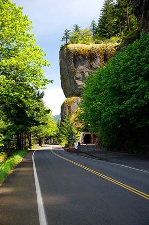
Oneonta Tunnel parallel to railway on the Columbia River Highway, Oregon, circa 1917 (AL+CA 1705).jpg - BMacZeroBot

Automobile crossing bridge adjacent to basalt rock wall on the Columbia River Highway, Oregon, between 1912 and 1922 (AL+CA 1716).jpg - BMacZeroBot

Yakima Indian Chief Joseph Luxillo seated on Pulpit Rock, The Dalles, Oregon, circa 1907 (AL+CA 1774).jpg - BMacZeroBot

Rooster Rock, on the Columbia River near Corbett, Oregon, 1890-1905 (AL+CA 3265).jpg - BMacZeroBot

Pinnacles at a canyon southeast of Crater Lake, Oregon, circa 1924 (AL+CA 1742).jpg - BMacZeroBot

Rock Formation at Rockaway Beach, 2020.jpg - Rickymouser45

Olympic National Park (23072440966).jpg - Tm

Bend Oregon (USA, September-October 2018) - 19 (50917830131).jpg - Matlin

Bend Oregon (USA, September-October 2018) - 17 (50917142153).jpg - Matlin

Bend Oregon (USA, September-October 2018) - 16 (50917830696).jpg - Matlin

Bend Oregon (USA, September-October 2018) - 13 (50917142998).jpg - Matlin

Bend Oregon (USA, September-October 2018) - 117 (50917808706).jpg - Matlin

Bend Oregon (USA, September-October 2018) - 118 (50917808456).jpg - Matlin

Bend Oregon (USA, September-October 2018) - 116 (50917120868).jpg - Matlin

Bend Oregon (USA, September-October 2018) - 115 (50917121098).jpg - Matlin

Imaginary Creature in a Rock Formation in Crack-in-the-Ground, Oregon.jpg - Jssphoto

Burnt River, Burnt River Canyon Road - DPLA - 997477a184b5d5ef05350b7e40aed9a6.jpg - DPLA bot

Burnt River Canyon - DPLA - 0818df3e3bf5d7addc19119b2c33b51d.jpg - DPLA bot

Burnt River, Burnt River Canyon Road - DPLA - a99b662ea902df788f740027e5942f26.jpg - DPLA bot

Burnt River, Burnt River Canyon Road - DPLA - 87863e625ddd412a42fa1a4bbbd57315.jpg - DPLA bot

Burnt River Canyon - DPLA - c11308b575b25531f2034a8796892f14.jpg - DPLA bot

Burnt River Canyon - DPLA - 1d0f0c7651b0a68ed37fed58d4c83b0b.jpg - DPLA bot

Burnt River Canyon - DPLA - f32f73bce1223997e46c45dd746466dd.jpg - DPLA bot

Burnt River Canyon - DPLA - 0ab3596f72f81edd7522b0c30159a61d.jpg - DPLA bot

Burnt River Canyon - DPLA - 3037463a1101c575f2a28c5b4c848b92.jpg - DPLA bot

Burnt River Canyon - DPLA - fc33d63a0392799baa095122dd97a6b7.jpg - DPLA bot

Bandon Beach with Face Rock in background, Bandon, Oregon, between 1922 and 1932 (AL+CA 1763).jpg - BMacZeroBot