×

Dalnottar Bridge - geograph.org.uk - 32627.jpg - GeographBot

Snow laden branches at Duck Bay, Loch Lomond. - geograph.org.uk - 136789.jpg - GeographBot

A811 Old Military Road - geograph.org.uk - 178857.jpg - GeographBot

Approaching Gartocharn - geograph.org.uk - 178855.jpg - GeographBot

A811 to Balloch just after Gartocharn. - geograph.org.uk - 194156.jpg - GeographBot

Drymen, Road from Buchanan Old House - geograph.org.uk - 190748.jpg - GeographBot

Cardross road by Carman reservoir - geograph.org.uk - 262396.jpg - GeographBot

Looking over water storage tanks, Bellsmyre - geograph.org.uk - 278779.jpg - GeographBot

Road to Auchencarroch Landfill Site - geograph.org.uk - 278809.jpg - GeographBot

Entrance to Balloch - geograph.org.uk - 326075.jpg - GeographBot

Private road to Lorn - geograph.org.uk - 325504.jpg - GeographBot

Road to Portnellan Farm - geograph.org.uk - 326064.jpg - GeographBot

Beeches Road, Duntocher - geograph.org.uk - 364265.jpg - GeographBot

Bend in road to Gartocharn - geograph.org.uk - 365515.jpg - GeographBot

Old A82 - geograph.org.uk - 367349.jpg - GeographBot
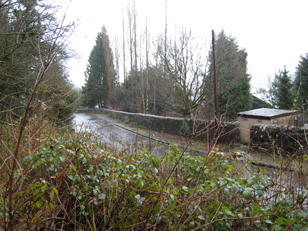
Old A82 - geograph.org.uk - 367354.jpg - GeographBot

Road to Balloch - geograph.org.uk - 365561.jpg - GeographBot

Road to Easter Auchencarroch Farm - geograph.org.uk - 365502.jpg - GeographBot

Road to Ledrishbeg - geograph.org.uk - 365569.jpg - GeographBot

Cardross Road Dumbarton - geograph.org.uk - 431898.jpg - GeographBot

Welcome to Dumbarton - geograph.org.uk - 430016.jpg - GeographBot

Clydeshore Road Dumbarton - geograph.org.uk - 443108.jpg - GeographBot

Approaching the Dumbuck Hotel - geograph.org.uk - 452690.jpg - GeographBot

Road into Old Kilpatrick - geograph.org.uk - 459660.jpg - GeographBot

Road junction near Meikle Finnery - geograph.org.uk - 462071.jpg - GeographBot
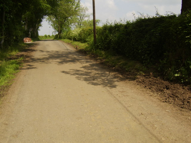
Road to Balquhain - geograph.org.uk - 462053.jpg - GeographBot

Main Street Bonhill - geograph.org.uk - 477493.jpg - GeographBot

Towards O'Hare Estate - geograph.org.uk - 477479.jpg - GeographBot

Access road to Dumbuck Quarry - geograph.org.uk - 533251.jpg - GeographBot

Milton - geograph.org.uk - 533242.jpg - GeographBot

Balloch, West Dunbartonshire - geograph.org.uk - 540981.jpg - GeographBot
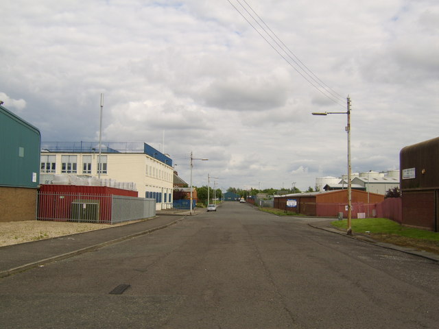
Clyde Street, Clydebank - geograph.org.uk - 544447.jpg - GeographBot

Duncryne Road - geograph.org.uk - 540995.jpg - GeographBot

Road to Blairlusk - geograph.org.uk - 540442.jpg - GeographBot

Livingstone Street, Linnvale - geograph.org.uk - 596149.jpg - GeographBot

Signposts in Dumbarton - geograph.org.uk - 620241.jpg - GeographBot

View along Bevin Avenue - geograph.org.uk - 659404.jpg - GeographBot

Cable Depot Road, Clydebank - geograph.org.uk - 673218.jpg - GeographBot

Road by Hardgate roundabout - geograph.org.uk - 682423.jpg - GeographBot

Manse Road, Bowling - geograph.org.uk - 713116.jpg - GeographBot
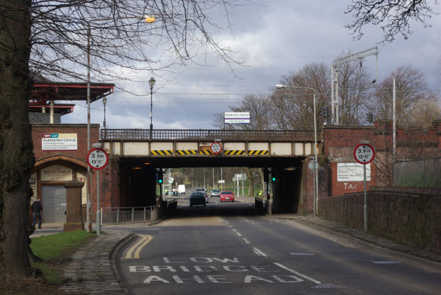
Church Street, Dumbarton - geograph.org.uk - 731754.jpg - GeographBot

Boquhanran Road, leading to Dumbarton Road - geograph.org.uk - 744376.jpg - GeographBot

Start of Cable Depot Road - geograph.org.uk - 744733.jpg - GeographBot

Argyll Road, Clydebank - geograph.org.uk - 759134.jpg - GeographBot

Road to Auchentoshan - geograph.org.uk - 761691.jpg - GeographBot

Dumbarton Road, Duntocher - geograph.org.uk - 771857.jpg - GeographBot

Ocean Field, Clydebank - geograph.org.uk - 771831.jpg - GeographBot

Clydeshore Road and Helenslee Road - geograph.org.uk - 796042.jpg - GeographBot

North Avenue, Clydebank Business Park - geograph.org.uk - 797286.jpg - GeographBot

Road in Clydebank Business Park - geograph.org.uk - 797082.jpg - GeographBot

South Avenue, Clydebank Business Park - geograph.org.uk - 797300.jpg - GeographBot

West Bridgend from Clydeshore Road - geograph.org.uk - 796050.jpg - GeographBot

Railway bridge on Station Road - geograph.org.uk - 828524.jpg - GeographBot

Road to Balaggan - geograph.org.uk - 828373.jpg - GeographBot

Road to Blairnyle - geograph.org.uk - 828308.jpg - GeographBot

A very wet Douglas Muir Road - geograph.org.uk - 831544.jpg - GeographBot

Road between Barnhill and Overtoun House - geograph.org.uk - 831057.jpg - GeographBot

Bridge over burn on road to Edinbarnet - geograph.org.uk - 854943.jpg - GeographBot

Heading north towards East Muirhouses - geograph.org.uk - 854990.jpg - GeographBot

Road to Edinbarnet - geograph.org.uk - 854937.jpg - GeographBot

Road to the Muirhouses - geograph.org.uk - 854978.jpg - GeographBot

Sheep in field - geograph.org.uk - 855016.jpg - GeographBot

Beeches Road, Duntocher - geograph.org.uk - 900151.jpg - GeographBot

Chapel Road, Duntocher - geograph.org.uk - 900145.jpg - GeographBot
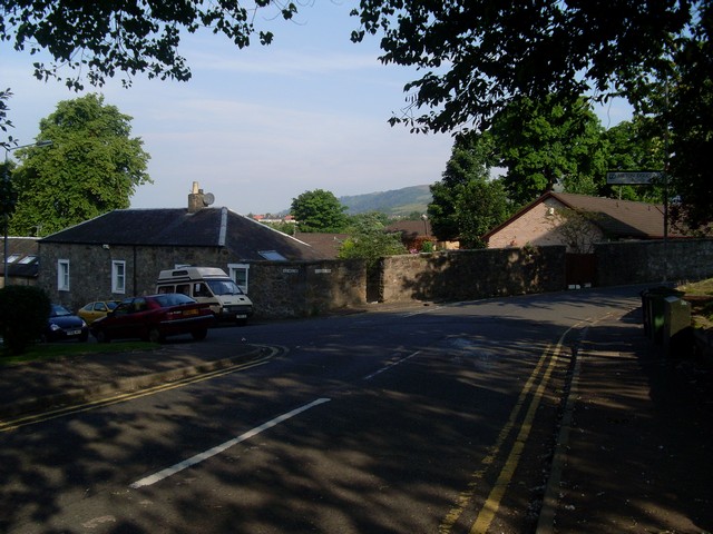
Corner of Roman Road and Milton Douglas Road - geograph.org.uk - 900110.jpg - GeographBot

Dumbarton Road approaching Old Kilpatrick village - geograph.org.uk - 904040.jpg - GeographBot

Hills behind Old Kilpatrick - geograph.org.uk - 907643.jpg - GeographBot

Looking east on Craigielea Road - geograph.org.uk - 900582.jpg - GeographBot

Looking west on Craigielea Road - geograph.org.uk - 900166.jpg - GeographBot

Mallard Road, Duntocher - geograph.org.uk - 900107.jpg - GeographBot

Redmoss Road - geograph.org.uk - 900159.jpg - GeographBot

Road into Old Kilpatrick - geograph.org.uk - 907655.jpg - GeographBot

The Glenhead Tavern, Duntocher - geograph.org.uk - 900126.jpg - GeographBot

Looking down Garshake Road - geograph.org.uk - 1018197.jpg - GeographBot

Road leading to the waterworks - geograph.org.uk - 1018203.jpg - GeographBot

Road to Murroch Farm - geograph.org.uk - 1018081.jpg - GeographBot

The top of Garshake Road - geograph.org.uk - 1018193.jpg - GeographBot

Road leading to Kipperoch Farm - geograph.org.uk - 1031967.jpg - GeographBot

The entrance of St Ronan's (housing estate) - geograph.org.uk - 1062337.jpg - GeographBot

Approaching the roundabout on Old Luss Road - geograph.org.uk - 1071060.jpg - GeographBot

B857 at Alexandria train station - geograph.org.uk - 1074120.jpg - GeographBot

Looking north on Luss Road - geograph.org.uk - 1071104.jpg - GeographBot

Pier Road, Balloch - geograph.org.uk - 1070919.jpg - GeographBot

Road into Alexandria - geograph.org.uk - 1074144.jpg - GeographBot

Various signs by Luss Road - geograph.org.uk - 1071086.jpg - GeographBot

Road bridges - geograph.org.uk - 1085331.jpg - GeographBot
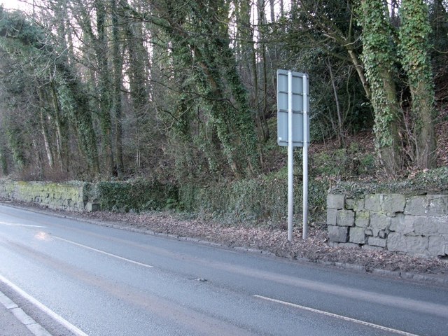
Recess with stone trough - geograph.org.uk - 1106020.jpg - GeographBot

Upper Carman Road - geograph.org.uk - 1155175.jpg - GeographBot

Vale of Leven Industrial Estate - geograph.org.uk - 1156403.jpg - GeographBot

Cattle grid - geograph.org.uk - 1179857.jpg - GeographBot

Old Mill Road - geograph.org.uk - 1236770.jpg - GeographBot

Road and Cottages - geograph.org.uk - 1248196.jpg - GeographBot

Entrance to Dalmuir Park - geograph.org.uk - 1263679.jpg - GeographBot
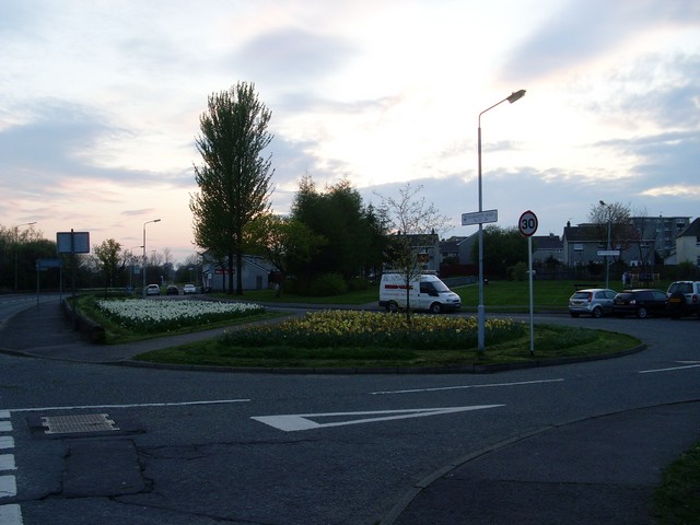
Freelands Road - geograph.org.uk - 1263724.jpg - GeographBot

Hills and fields north of Muirhouses - geograph.org.uk - 1261046.jpg - GeographBot

Tunnel under railway - geograph.org.uk - 1263713.jpg - GeographBot

Temporary road to the Titan Crane - geograph.org.uk - 1330400.jpg - GeographBot

Main road through Gartocharn - geograph.org.uk - 1358227.jpg - GeographBot

Duntocher Road, Parkhall - geograph.org.uk - 1375702.jpg - GeographBot

Private track to Blackmailing and Craigleith - geograph.org.uk - 1757428.jpg - GeographBot

Auchincarroch Road - geograph.org.uk - 3373818.jpg - GeographBot

Passing Gallangad Lodge - geograph.org.uk - 3373841.jpg - GeographBot

Road crossing the Cameron Burn - geograph.org.uk - 3374102.jpg - GeographBot

Old School Road - geograph.org.uk - 3406895.jpg - GeographBot

Old School Road - geograph.org.uk - 3406944.jpg - GeographBot

The Military Road, Kilmaronock, West Dunbartonshire.jpg - Rosser1954
❮
❯


