Wikimedi'Òc
Modes d'emploi

Cet album fait partie des albums
Cet album photos contient les sous-albums suivants :


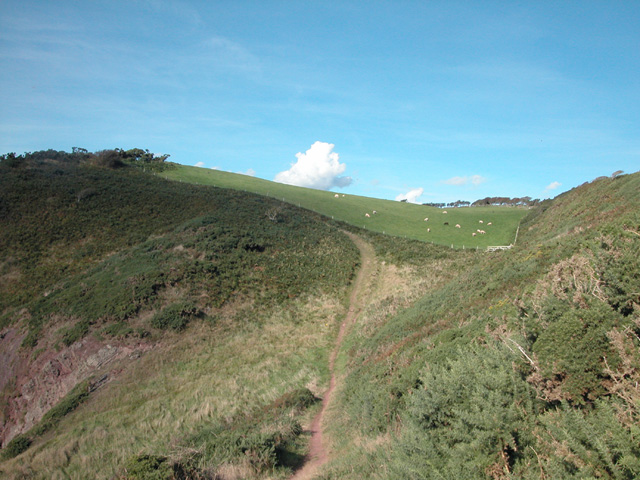
Trewent - geograph.org.uk - 56260.jpg - GeographBot

View from near Stackpole. - geograph.org.uk - 56760.jpg - GeographBot

Road to Moel-y-don - geograph.org.uk - 237318.jpg - GeographBot

The New Road below Plas Yn Rhiw - geograph.org.uk - 244835.jpg - GeographBot

Bridge over Colwyn Brook - geograph.org.uk - 124479.jpg - File Upload Bot (Magnus Manske)

Diverging pathways near Cyfannedd-fawr - geograph.org.uk - 202319.jpg - File Upload Bot (Magnus Manske)

Dol-gamlyn Farm, Rheidol Valley - geograph.org.uk - 121992.jpg - Geograph Update Bot

Bridge over the Colwyn Brook, near Caersws - geograph.org.uk - 200518.jpg - File Upload Bot (Magnus Manske)

Mountain road at Geufron - geograph.org.uk - 247646.jpg - File Upload Bot (Magnus Manske)
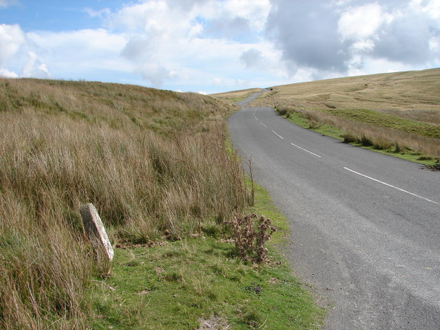
Milestone beside the Cwmystwyth to Rhayader road - geograph.org.uk - 248165.jpg - File Upload Bot (Magnus Manske)

Coed Hafod - geograph.org.uk - 248290.jpg - File Upload Bot (Magnus Manske)

Gated road at Ty-cerrig - geograph.org.uk - 243209.jpg - File Upload Bot (Magnus Manske)

Entrance To Forestry Land - geograph.org.uk - 213632.jpg - File Upload Bot (Magnus Manske)

Country lane near Cemmaes - geograph.org.uk - 240905.jpg - File Upload Bot (Magnus Manske)

Country lane in Dyffryn Dyfi - geograph.org.uk - 240930.jpg - File Upload Bot (Magnus Manske)

Country lane in Dyffryn Dyfi - geograph.org.uk - 240939.jpg - File Upload Bot (Magnus Manske)

The lane to Wylfa and beyond - geograph.org.uk - 243438.jpg - File Upload Bot (Magnus Manske)

Country lane at Gors - geograph.org.uk - 207989.jpg - File Upload Bot (Magnus Manske)

Country lane near Glanystwyth - geograph.org.uk - 208051.jpg - File Upload Bot (Magnus Manske)

Crossroads near Glanystwyth - geograph.org.uk - 208040.jpg - File Upload Bot (Magnus Manske)

Country lane near Llanfihangel-y-Creuddyn - geograph.org.uk - 208118.jpg - File Upload Bot (Magnus Manske)

Country lane at Banc Blaen Magwr - geograph.org.uk - 208131.jpg - File Upload Bot (Magnus Manske)

The Almost Disappeared Path to Tal-y-mignedd-uchaf - geograph.org.uk - 252176.jpg - GeographBot

The Farm Road to Tal-y-mignedd-isaf - geograph.org.uk - 252157.jpg - GeographBot

The bottom of Llwybr Main at Pont y Bala - geograph.org.uk - 289411.jpg - GeographBot

Country lane between Glan-yr-Afon and Erw-pwll-y-glo - geograph.org.uk - 299604.jpg - GeographBot

Entrance to Argoed-fawr - geograph.org.uk - 290258.jpg - GeographBot

Rheidol Valley on Christmas Day - geograph.org.uk - 299174.jpg - GeographBot

The Erw-fforch T-road junction - geograph.org.uk - 299571.jpg - GeographBot

Track to Maes-Gwyn - geograph.org.uk - 299580.jpg - GeographBot

A T- junction and Ty Gwyn - geograph.org.uk - 374268.jpg - GeographBot

Downhill to Penmon - geograph.org.uk - 373855.jpg - GeographBot

Ffyrdd i Rhiw - Roads to Rhiw - geograph.org.uk - 377705.jpg - GeographBot

The Penmon road with the Glyderau in the background - geograph.org.uk - 378135.jpg - GeographBot

The Cwm-y-glo by-pass - geograph.org.uk - 401912.jpg - GeographBot

The lower end of the Bala by-pass - geograph.org.uk - 463985.jpg - GeographBot

Trevor Rocks - geograph.org.uk - 541865.jpg - GeographBot

Entrance on to the footbridge on the north side of the A55 - geograph.org.uk - 806561.jpg - GeographBot

The old straight road (2) - geograph.org.uk - 880487.jpg - GeographBot

Footpath to Trostrey Court - geograph.org.uk - 1282712.jpg - GeographBot

Mountain road to Tregaron, Cwm Irfon, Powys - geograph.org.uk - 1506609.jpg - GeographBot

The road in Cwm Irfon, Powys - geograph.org.uk - 1506295.jpg - GeographBot

The road to Tregaron, near Abergwesyn,Powys - geograph.org.uk - 1506283.jpg - GeographBot

Penmanmawr.jpeg - Jason.nlw

Motoring aboard (1908) (14596366917).jpg - Fæ

Bangor - panoramio (10).jpg - Panoramio upload bot

CongestionA472.JPG - Logan

WalesCricketGround.jpeg - Ser Amantio di Nicolao

Troed yr ŵydd gwyn yn ymledu ar ffordd yn Waunfawr ar ôl gaeaf caled 2010 yn dilyn halltu’r ffyrdd yn helaeth.jpg - Duncan Brown

Glyn Bran on the Mountain Road.jpg - WelshDave

Glyn Bran Farm Kitchen.jpg - WelshDave

Heath Hospital.jpg - Scglossop1

Two roads in the Clocaenog Forest - geograph.org.uk - 2107253.jpg - GeographBot

Level crossing on the B4385 - geograph.org.uk - 2562670.jpg - GeographBot

Two roads north-west of Beulah, Powys - geograph.org.uk - 2930919.jpg - GeographBot

Penisarcwm farm below Cwm Nantcol (geograph 4454185 by Jeremy Bolwell).jpg - Bjh21

Sign warning of 'sheep' - geograph.org.uk - 4043325.jpg - GeographBot

Wales Trunk Road Agents map.svg - DankJae

Cadair Idris.jpg - Ellievking1

Road to Nant Gwrtheyrn, Llŷn AONB.jpg - Ellievking1

Road to Capel Llwyd Barn.jpg - WelshDave

Rustic Lodge Road.jpg - WelshDave