×

The A530 King street, nr Northwich. - geograph.org.uk - 358199.jpg - GeographBot

Vicarage Lane, Burton - geograph.org.uk - 892493.jpg - File Upload Bot (Magnus Manske)

Bache Roundabout - geograph.org.uk - 33827.jpg - GeographBot

Chester Bypass - geograph.org.uk - 35762.jpg - GeographBot

Ferry Lane Higher Ferry - geograph.org.uk - 33439.jpg - GeographBot

Hotel Road - geograph.org.uk - 37491.jpg - GeographBot

Saltney Ferry Lane - geograph.org.uk - 38588.jpg - GeographBot

A533 west of Dones Green, Field Farm on left - geograph.org.uk - 153091.jpg - GeographBot

Straight and true - geograph.org.uk - 131717.jpg - GeographBot

Old Mill Lane - geograph.org.uk - 147957.jpg - GeographBot

Near Droppingstone Farm - geograph.org.uk - 159864.jpg - GeographBot

Hogshead Lane, Oakmere - geograph.org.uk - 167330.jpg - GeographBot

Cheese Hill Lane, Oakmere - geograph.org.uk - 174487.jpg - GeographBot

A5117 road, Saughall - DSC06464.JPG - Green Lane

Church Road, Saughall - DSC06478.JPG - Green Lane

Shotwick Lane - DSC06441.JPG - Green Lane

Shotwick Lane - DSC06454.JPG - Green Lane

Pearl Lane, Littleton, Cheshire - DSC07932.JPG - Green Lane

"Cheshire gateway" on a rainy day - geograph.org.uk - 269146.jpg - GeographBot

Bridleway near Sandymere - geograph.org.uk - 289808.jpg - GeographBot

Bridleway rear of Arley Hall - geograph.org.uk - 284731.jpg - GeographBot

Carriage Road through Bretton Woods - geograph.org.uk - 281693.jpg - GeographBot

Carriage Road through Bretton Woods - geograph.org.uk - 281694.jpg - GeographBot

Forest Gate Lane - geograph.org.uk - 289802.jpg - GeographBot

Higher Lane - geograph.org.uk - 284856.jpg - GeographBot

Hogshead Lane - geograph.org.uk - 286957.jpg - GeographBot

Junction of A54 and Birch Lane - geograph.org.uk - 288743.jpg - GeographBot

Junction of Higher Lane and Marsh Lane - geograph.org.uk - 284839.jpg - GeographBot

Public Footpath - geograph.org.uk - 282510.jpg - GeographBot

The lane from Gorstella to Bretton - geograph.org.uk - 281697.jpg - GeographBot

Track to Shaw's Farm - geograph.org.uk - 286962.jpg - GeographBot

Godstall Lane - geograph.org.uk - 292477.jpg - GeographBot

Path across the fields, Lower Peover - geograph.org.uk - 293042.jpg - GeographBot

Wet road - Willington Lane - geograph.org.uk - 299774.jpg - GeographBot

Access road to Grange Farm - geograph.org.uk - 302612.jpg - GeographBot

Approaching Coddington - geograph.org.uk - 304204.jpg - GeographBot

By-way to Rowley Hill - geograph.org.uk - 302595.jpg - GeographBot

Byway to Clutton - geograph.org.uk - 302575.jpg - GeographBot

Lodge Farm - geograph.org.uk - 302600.jpg - GeographBot
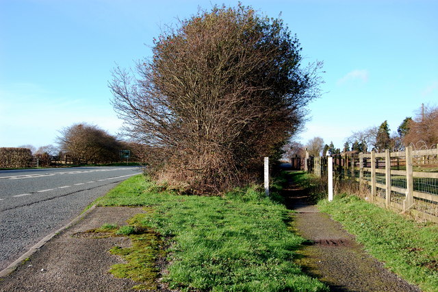
A51 and Adjacent Footpath - geograph.org.uk - 311322.jpg - GeographBot

Avenue Leading to Horton Hall - geograph.org.uk - 311255.jpg - GeographBot

Bridleway from the A41 to Saighton - geograph.org.uk - 317529.jpg - GeographBot

Entrance to Hatton Hall - geograph.org.uk - 317644.jpg - GeographBot

Footpath Crossing Ditch - geograph.org.uk - 317579.jpg - GeographBot

Footpath Tarvin Sands to Lower Street Farm - geograph.org.uk - 311390.jpg - GeographBot

Footpath adjacent to A51 - geograph.org.uk - 311306.jpg - GeographBot

Road to Hatton Hall - geograph.org.uk - 317688.jpg - GeographBot

Willington Road from Weetwood Grange - geograph.org.uk - 311409.jpg - GeographBot

At the Crossroads - geograph.org.uk - 327056.jpg - GeographBot

Footpath south of Bradley Brook - geograph.org.uk - 323805.jpg - GeographBot

Footpath to Castletown Farm - geograph.org.uk - 329258.jpg - GeographBot

Fullers Gate - geograph.org.uk - 328567.jpg - GeographBot

Lane to Bradley Brook - geograph.org.uk - 323797.jpg - GeographBot

Minor road near Bawbrook - geograph.org.uk - 323495.jpg - GeographBot

Re-instated Footpath - geograph.org.uk - 326956.jpg - GeographBot

Road to Boots Green - geograph.org.uk - 327554.jpg - GeographBot

'S' Bend in Edgerley Lane - geograph.org.uk - 330273.jpg - GeographBot

Approaching Tattenhall along Frog Lane. - geograph.org.uk - 332878.jpg - GeographBot

Approaching Tattenhall from the North West - geograph.org.uk - 332846.jpg - GeographBot

Birds Lane, Tattenhall - geograph.org.uk - 335378.jpg - GeographBot

Bolesworth Road and Footpath - geograph.org.uk - 333473.jpg - GeographBot

Bridleway by Russia Hall - geograph.org.uk - 333122.jpg - GeographBot

Chester Road, Tattenhall - geograph.org.uk - 333785.jpg - GeographBot

Crossley Crescent off Pipers Lane. - geograph.org.uk - 333996.jpg - GeographBot

Dark Lane, near Tattenhall - geograph.org.uk - 332860.jpg - GeographBot

Dark Lane and Woodsfin Lane Junction - geograph.org.uk - 335354.jpg - GeographBot

Footpath and Gate Entrance - geograph.org.uk - 331503.jpg - GeographBot

Footpath from Burwardsley Road, Tattenhall to Dark Lane - geograph.org.uk - 334116.jpg - GeographBot

Footpath from Burwardsley Road to Dark Lane ^2 - geograph.org.uk - 334365.jpg - GeographBot

Footpath from Burwardsley Road to Dark Lane ^3 - geograph.org.uk - 334647.jpg - GeographBot

Footpath from Burwardsley Road to Dark Lane ^5 - geograph.org.uk - 334724.jpg - GeographBot

Footpath from Burwardsley Road to Dark Lane ^6 - geograph.org.uk - 334952.jpg - GeographBot

Footpath from Burwardsley Road to Dark Lane ^7 - geograph.org.uk - 334973.jpg - GeographBot

Footpath from Burwardsley Road to Dark Lane ^8 - geograph.org.uk - 334992.jpg - GeographBot

Footpath from Burwardsley Road to Dark Lane ^9 - geograph.org.uk - 335007.jpg - GeographBot

Footpath from Dark Lane to Burwardsley Road - geograph.org.uk - 334372.jpg - GeographBot

Footpath from Dark Lane to Burwardsley Road - geograph.org.uk - 334649.jpg - GeographBot

Footpath from Dark Lane to Burwardsley Road - geograph.org.uk - 334653.jpg - GeographBot

Footpath from Dark Lane to Burwardsley Road - geograph.org.uk - 334730.jpg - GeographBot

Footpath from Dark Lane to Burwardsley Road - geograph.org.uk - 334742.jpg - GeographBot

Footpath from Dark Lane to Burwardsley Road - geograph.org.uk - 334995.jpg - GeographBot

Footpath from Utkinton Lane. - geograph.org.uk - 331998.jpg - GeographBot

Footpath to Brook Hall - geograph.org.uk - 332847.jpg - GeographBot

Footpath to Brook Hall - geograph.org.uk - 333794.jpg - GeographBot

Footpath to Carrs Lane and Beeston - geograph.org.uk - 332861.jpg - GeographBot

Footpath to Tattenhall - geograph.org.uk - 332849.jpg - GeographBot

Footpath to Tattenhall from Brook Hall - geograph.org.uk - 332852.jpg - GeographBot

Footpath towards Peover Hall - geograph.org.uk - 335699.jpg - GeographBot

Hairpin Bend at Lowerhall Farm - geograph.org.uk - 331515.jpg - GeographBot

Lane between The Hough and Higher Wych - geograph.org.uk - 330044.jpg - GeographBot

Looking North along Dark Lane - geograph.org.uk - 335366.jpg - GeographBot

North East along Dark Lane - geograph.org.uk - 335319.jpg - GeographBot

Quarry Lane, Manley - geograph.org.uk - 331480.jpg - GeographBot

Quarry Lane Junction - geograph.org.uk - 331452.jpg - GeographBot

Road Junction at Duddon Heath - geograph.org.uk - 332017.jpg - GeographBot

South East along Burwardsley Road - geograph.org.uk - 335375.jpg - GeographBot

The Spinney and Crooked Lane - geograph.org.uk - 332036.jpg - GeographBot

B5081 Byley Lane, nr Shakerley Mere - geograph.org.uk - 359172.jpg - GeographBot

Footpath near Crewe by Farndon - geograph.org.uk - 351001.jpg - GeographBot

Minor Road by Caldecott Hall - geograph.org.uk - 350801.jpg - GeographBot

Post Office Lane - geograph.org.uk - 356686.jpg - GeographBot

Road Junction of B5082 to Northwich on the A50 - geograph.org.uk - 375411.jpg - GeographBot

Bye Bye Byway - geograph.org.uk - 382913.jpg - GeographBot

Footpath and Brook in Duddon - geograph.org.uk - 386265.jpg - GeographBot

Footpath and Stile near Hoofield Covert - geograph.org.uk - 387109.jpg - GeographBot

Footpath towards Duddon Mill - geograph.org.uk - 386269.jpg - GeographBot

Junction of Restricted Byways - geograph.org.uk - 383069.jpg - GeographBot

Restricted Byway - geograph.org.uk - 383047.jpg - GeographBot

Whatcroft Lane - geograph.org.uk - 382817.jpg - GeographBot

Footpath to Beeston Castle and a Herd of Cows - geograph.org.uk - 390799.jpg - GeographBot

Rocky Road, Tattenhall - geograph.org.uk - 390735.jpg - GeographBot

Bridlepath - geograph.org.uk - 405500.jpg - GeographBot

Church Bridleway - geograph.org.uk - 405502.jpg - GeographBot

Footpath from Highfield Lane - geograph.org.uk - 407817.jpg - GeographBot

Dead Tree on the Bridleway to Barton - geograph.org.uk - 412336.jpg - GeographBot

Footpath and Bridge Stile - geograph.org.uk - 412285.jpg - GeographBot

Manley Bridleway 3 - geograph.org.uk - 421922.jpg - GeographBot

Manley Road, Alvanley - geograph.org.uk - 421919.jpg - GeographBot

South along the Longster Trail - geograph.org.uk - 422482.jpg - GeographBot

The A51 (north west) at Duddon Heath, Tarporley - geograph.org.uk - 423502.jpg - GeographBot

The A51 (south east) at Duddon Heath, Tarporley - geograph.org.uk - 423511.jpg - GeographBot

Cooke's Lane - geograph.org.uk - 438965.jpg - GeographBot

Approaching Wade Brook - geograph.org.uk - 441033.jpg - GeographBot

Escape route ... path leading out of Winsford Industrial Estate - geograph.org.uk - 444614.jpg - GeographBot

Jack Lane at Mere Heath - geograph.org.uk - 447270.jpg - GeographBot

Bedward Row and St Martins House - geograph.org.uk - 450482.jpg - GeographBot

Moor Lane - geograph.org.uk - 460646.jpg - GeographBot

A Footpath and the Duke's Drive - geograph.org.uk - 495529.jpg - GeographBot

Frodsham - view along footpath 83 - geograph.org.uk - 499638.jpg - GeographBot

Manley - view along the Delamere Way - geograph.org.uk - 499632.jpg - GeographBot

Country Lane near Bradley - geograph.org.uk - 507168.jpg - GeographBot

Footpath through a Wheat field. - geograph.org.uk - 507171.jpg - GeographBot

Not so obvious footpath - geograph.org.uk - 507177.jpg - GeographBot

Balanced Display - geograph.org.uk - 510553.jpg - GeographBot

Muddy Waters - geograph.org.uk - 510365.jpg - GeographBot

Over the Bridge. - geograph.org.uk - 510764.jpg - GeographBot

Bishop Bennett Way at Overton Heath - geograph.org.uk - 533070.jpg - GeographBot

Farmers Road in Moors Lane Farm - geograph.org.uk - 537171.jpg - GeographBot

Footpath near Hilltop Farm. - geograph.org.uk - 537105.jpg - GeographBot

Section of Roman Road in Modern Use near Malpas - geograph.org.uk - 533064.jpg - GeographBot

Green Lane, Higher Kinnerton - geograph.org.uk - 586198.jpg - GeographBot

St Olave's Street - geograph.org.uk - 587614.jpg - GeographBot

Road to Robberhill Farm - geograph.org.uk - 626294.jpg - GeographBot

Access road from Bellevue Lane - geograph.org.uk - 649526.jpg - GeographBot

Bellevue Lane, Guiden Sutton - geograph.org.uk - 649592.jpg - GeographBot

Footpath alongside Belle Vue farm - geograph.org.uk - 649419.jpg - GeographBot

Footpath from Hare Lane - geograph.org.uk - 649368.jpg - GeographBot

Bend Past Claremont - geograph.org.uk - 652768.jpg - GeographBot

Bend to Guilden Sutton - geograph.org.uk - 652797.jpg - GeographBot

Junction 12 M53 - geograph.org.uk - 652785.jpg - GeographBot

The A55, junction with the A51, Chester - geograph.org.uk - 653652.jpg - GeographBot

Bridleway to Caughall Road - geograph.org.uk - 667504.jpg - GeographBot

Road Junction, Boughton, Chester - geograph.org.uk - 665194.jpg - GeographBot

Road junction, near the old entrance to Chester Zoo - geograph.org.uk - 667445.jpg - GeographBot

Going South - geograph.org.uk - 679787.jpg - GeographBot

Kilmorey Park, Hoole - geograph.org.uk - 675052.jpg - GeographBot
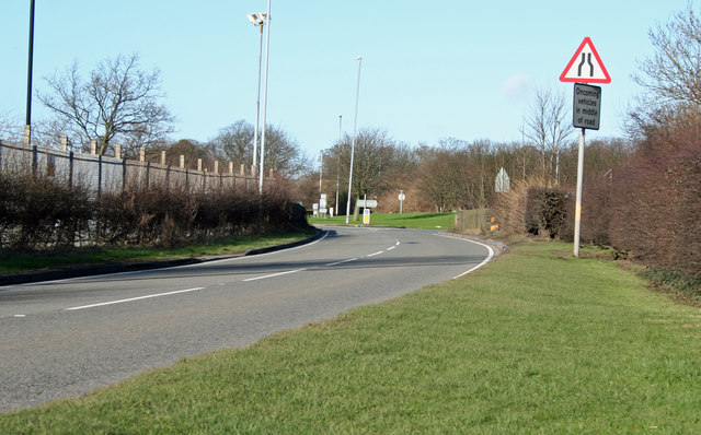
Road To Ince - geograph.org.uk - 679739.jpg - GeographBot

Hoole Road, Hoole, Chester - geograph.org.uk - 686491.jpg - GeographBot

Junction of School Lane and Belle Vue Lane - geograph.org.uk - 681680.jpg - GeographBot

Restricted Byway to Warrington Road - geograph.org.uk - 681787.jpg - GeographBot

Road junction, Hare Lane - geograph.org.uk - 681621.jpg - GeographBot

Road through Piper's Ash, Chester - geograph.org.uk - 680773.jpg - GeographBot

Footpath to Little Barrow - geograph.org.uk - 698696.jpg - GeographBot

Cholmondeley Estate Track south of Bulkelehay - geograph.org.uk - 712699.jpg - GeographBot

Footpath from Guilden Sutton - geograph.org.uk - 715825.jpg - GeographBot

Footpath to Guilden Sutton - geograph.org.uk - 715848.jpg - GeographBot

Footpath to Oxen Bridge - geograph.org.uk - 715830.jpg - GeographBot

Along the city wall - geograph.org.uk - 762672.jpg - GeographBot

Beeston - footpath 28 - geograph.org.uk - 804841.jpg - GeographBot

Beech-lined track in Moss Wood - geograph.org.uk - 815295.jpg - Rotatebot

Bishop Bennet Trail - geograph.org.uk - 814811.jpg - GeographBot

Approaching the barrier - geograph.org.uk - 827332.jpg - GeographBot
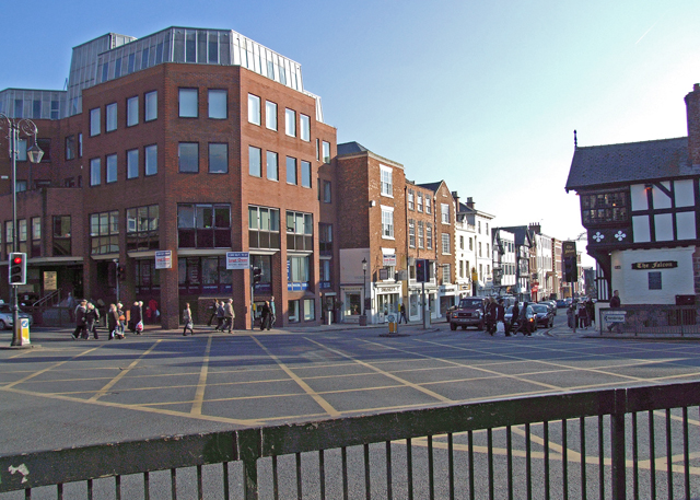
Busy junction - geograph.org.uk - 827119.jpg - GeographBot

Road junction - geograph.org.uk - 825311.jpg - GeographBot

Road junction - geograph.org.uk - 825320.jpg - GeographBot

Busy junction - geograph.org.uk - 834445.jpg - GeographBot

19th century guidepost near Farndon - geograph.org.uk - 1129221.jpg - GeographBot

A54 at Sproston Green - geograph.org.uk - 1184809.jpg - GeographBot

Bickley Road - geograph.org.uk - 1195394.jpg - GeographBot

Dark Lane, Kingsley - geograph.org.uk - 1435931.jpg - GeographBot

Footpath, Houses and Stanlow - geograph.org.uk - 1433787.jpg - GeographBot

Footpath to the Motorway - geograph.org.uk - 1433818.jpg - GeographBot

Footpath to the Motorway Junction - geograph.org.uk - 1433780.jpg - GeographBot

Wrenbury Road - geograph.org.uk - 1459927.jpg - GeographBot

Milking time - geograph.org.uk - 1566267.jpg - GeographBot

Green Lake Lane, Aldford - geograph.org.uk - 1613793.jpg - GeographBot

A54, Kelsall - geograph.org.uk - 1750572.jpg - GeographBot

Capenhurst Lane, Cheshire.jpg - Rept0n1x

Heath Lane, Childer Thornton.jpg - Rept0n1x

Heath Lane, Childer Thornton (2).jpg - Rept0n1x

Station Road, Ince, Cheshire.JPG - Rept0n1x

Stanney Mill Lane (1).JPG - Rept0n1x

Stanney Mill Road, Ellesmere Port (2).JPG - Rept0n1x

Stanney Mill Road, Ellesmere Port (1).JPG - Rept0n1x

Access road off Heathfield Road, Ellesmere Port.JPG - Rept0n1x

Deva Link, Chester (2).JPG - Rept0n1x

Deva Link, Chester (3).JPG - Rept0n1x

Junction of A56 and A557 at Sutton Weaver.JPG - Rept0n1x

Vicarage Lane, Frodsham (1).JPG - Rept0n1x

Chester Road bridge, Huntington.JPG - Rept0n1x
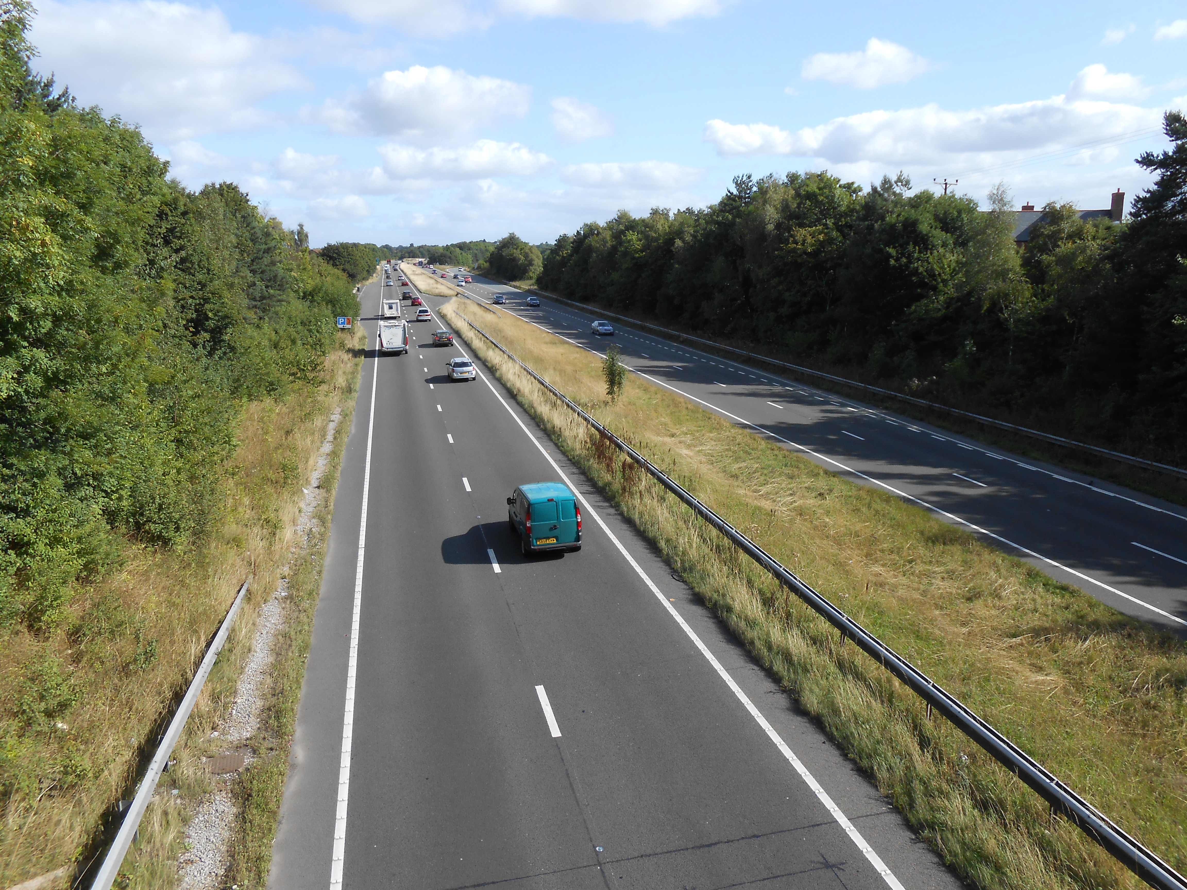
A55 road at Huntington, Cheshire.JPG - Rept0n1x

B5135 Boathouse Lane, Parkgate, Cheshire (2).JPG - Rept0n1x

B5135 Boathouse Lane, Parkgate, Cheshire (3).JPG - Rept0n1x

B5135 Boathouse Lane, Parkgate, Cheshire (4).JPG - Rept0n1x

Chester Road, Hartford.JPG - Rept0n1x

St Martin's Way passes over Garden Lane, Chester.JPG - Rept0n1x

Little Tilston Bridge - geograph.org.uk - 2726462.jpg - GeographBot

Lea Lane, Lea Newbold - geograph.org.uk - 2788284.jpg - GeographBot

Lea Lane near Leahall Farm - geograph.org.uk - 2788319.jpg - GeographBot

Lea Lane, Lea Newbold - geograph.org.uk - 2788391.jpg - GeographBot

Road Junction, Bruen Stapleford - geograph.org.uk - 2958050.jpg - GeographBot

Chester, St Martin's Way - geograph.org.uk - 3241065.jpg - GeographBot

Eaton Road, Heronbridge - geograph.org.uk - 3337034.jpg - GeographBot
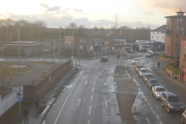
A548 - geograph.org.uk - 4561571.jpg - GeographBot

Approaching Handbridge from the south - geograph.org.uk - 4846648.jpg - GeographBot

A5268 (St Martin's Way) cutting through Chester - geograph.org.uk - 7551554.jpg - GeographBot

Benty Heath Lane - geograph.org.uk - 7974294.jpg - GeographBot
❮
❯


