Wikimedi'Òc
Modes d'emploi

Cet album fait partie des albums


Milner Road, London SW19 - geograph.org.uk - 1316410.jpg - GeographBot

Slip road, Shannon Corner - geograph.org.uk - 1407025.jpg - GeographBot

Arterberry Road - Steep Hill 10^ - geograph.org.uk - 1425488.jpg - GeographBot

The Downs - Steep Hill 10^ - geograph.org.uk - 1425425.jpg - GeographBot

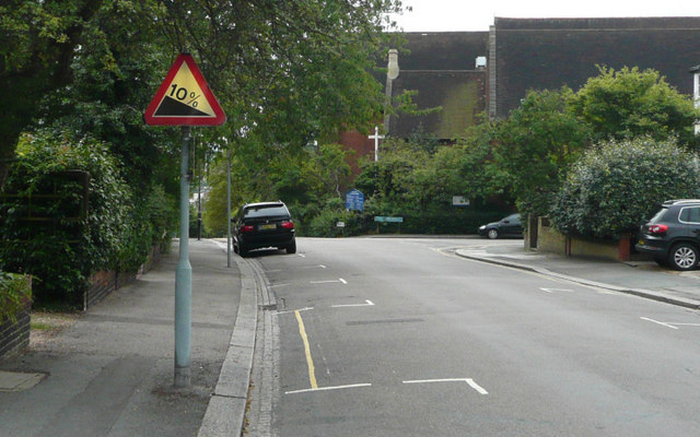
Arthur Road - Steep Hill 10^ - geograph.org.uk - 1435585.jpg - GeographBot

Denmark Avenue - Steep Hill 10^ - geograph.org.uk - 1435649.jpg - GeographBot

Edge Hill - Steep Hill 12^ - geograph.org.uk - 1435675.jpg - GeographBot

Marryat Road - Steep Hill 10^ - geograph.org.uk - 1435595.jpg - GeographBot

Ridgway Place - Steep Hill 10^ - geograph.org.uk - 1435630.jpg - GeographBot
Spencer Hill - Steep Hill 10^ - geograph.org.uk - 1435638.jpg - GeographBot

ISH Wimbledon2.jpg - MGA73bot2

Give Way (28335925).jpeg - DarwIn

Bend ahead on the B281 - geograph.org.uk - 2017867.jpg - GeographBot

Fingerpost on Coombe Lane - geograph.org.uk - 2261210.jpg - GeographBot

Fingerpost on Coombe Lane - geograph.org.uk - 2261219.jpg - GeographBot
Sign post, Coombe Lane, London SW20 - geograph.org.uk - 2292581.jpg - GeographBot

Self explanatory road sign, Christchurch Road - geograph.org.uk - 2613107.jpg - GeographBot

Old sign to St Olave's church, Rowan Road - geograph.org.uk - 2695901.jpg - GeographBot

Old sign to St Olave's church, Rowan Road - geograph.org.uk - 2695941.jpg - GeographBot

Wimbledon Station - geograph.org.uk - 5324958.jpg - GeographBot

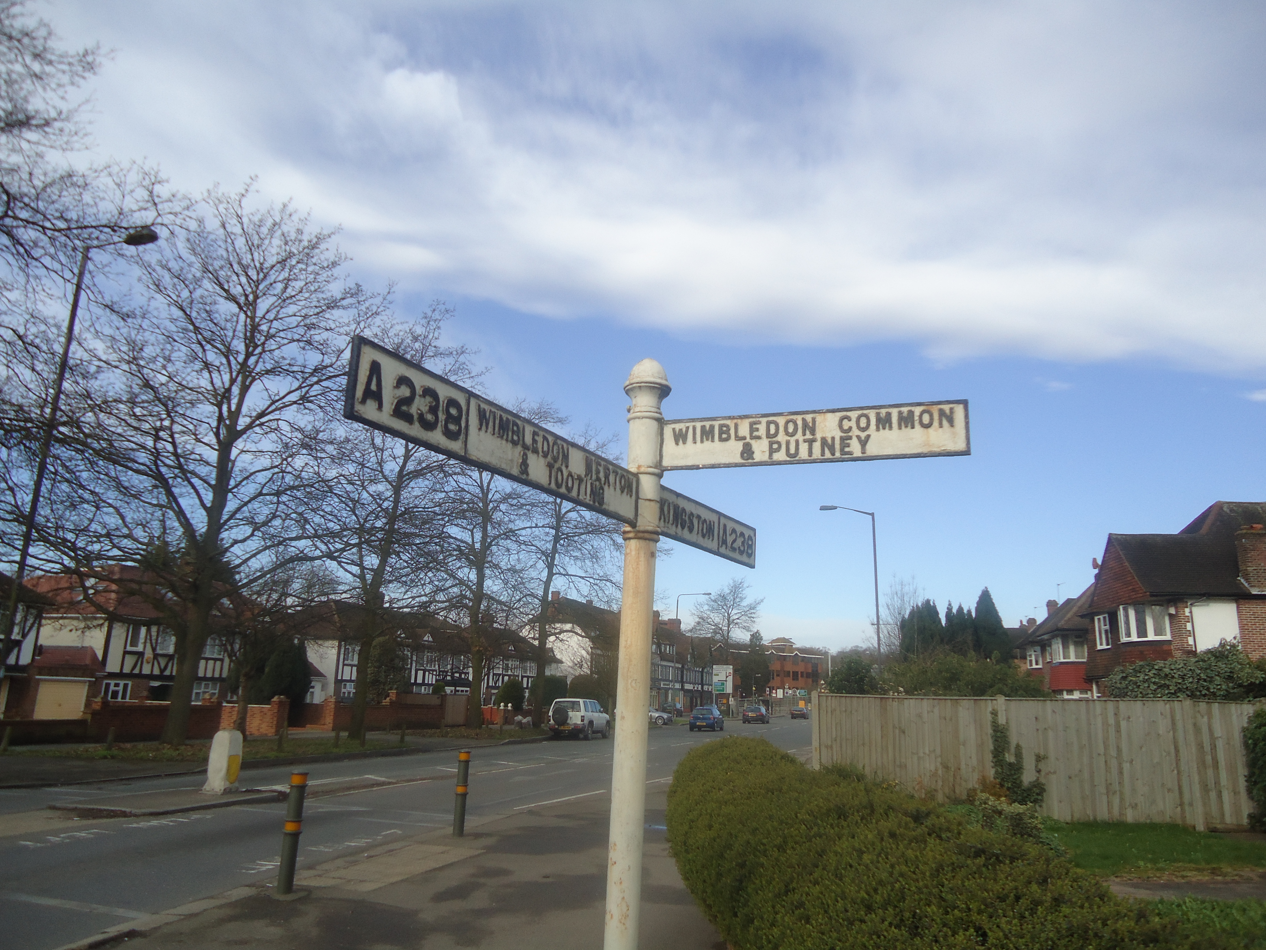
A24, Merton - geograph.org.uk - 5648010.jpg - GeographBot

View of a tram crossing the footpath leading into Morden Hall Park - geograph.org.uk - 5864358.jpg - GeographBot

View of a tram crossing the footpath leading into Morden Hall Park ^2 - geograph.org.uk - 5864361.jpg - GeographBot

Arthur Road, Wimbledon, 1 - geograph.org.uk - 6699662.jpg - GeographBot

Courthope Rd - geograph.org.uk - 7196724.jpg - GeographBot

Lingfield Rd - geograph.org.uk - 7196746.jpg - GeographBot