Wikimedi'Òc
Modes d'emploi

Cet album fait partie des albums


Piccadilly Line Bridge, Bollo Lane - geograph.org.uk - 6615336.jpg - GeographBot

A4020 - geograph.org.uk - 7458765.jpg - GeographBot

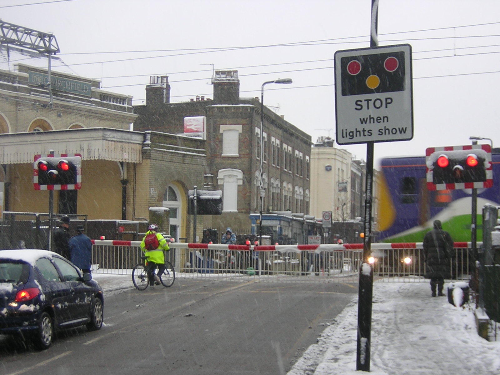
Road sign 2042.jpg - P.g.champion

Windmill Lane, Southall - geograph.org.uk - 677242.jpg - GeographBot

A40 Western Avenue - geograph.org.uk - 835469.jpg - GeographBot

Kensington Road, Northolt - geograph.org.uk - 835180.jpg - GeographBot

Average speed cameras at roadworks - geograph.org.uk - 938662.jpg - GeographBot

Greenford Roundabout - geograph.org.uk - 1035085.jpg - GeographBot

Hill Rise, Greenford, Middlesex - geograph.org.uk - 1149818.jpg - GeographBot

Two railway bridges Greenford Road - geograph.org.uk - 1141510.jpg - GeographBot

No entry in Hammond Road from King Street - geograph.org.uk - 1523644.jpg - GeographBot

Road sign in Southall High Street - geograph.org.uk - 1524717.jpg - GeographBot

Stanley Road - geograph.org.uk - 1527300.jpg - GeographBot

St Saviour, Old Oak Road. London W3 - geograph.org.uk - 1716655.jpg - GeographBot

Hanger Lane station - geograph.org.uk - 1768765.jpg - GeographBot
Acton Central.JPG - File Upload Bot (Magnus Manske)

Woodville Gardens with 20 mph speed limit - geograph.org.uk - 1843301.jpg - GeographBot

Pre-Worboys speed limit off Yeading Lane - geograph.org.uk - 2273887.jpg - GeographBot

Sign on A40, Ealing - geograph.org.uk - 2274007.jpg - GeographBot

"Cyclists must stop at red lights" notice - geograph.org.uk - 2550122.jpg - GeographBot

Direction signs, Hanger Lane - geograph.org.uk - 2581088.jpg - GeographBot

Popes Lane - geograph.org.uk - 2629035.jpg - GeographBot

Pre-Worboys 40mph sign at junction of Dilston Close and Yeading Lane - geograph.org.uk - 2681449.jpg - GeographBot

Low Emission Zone reminder road sign at Northolt - geograph.org.uk - 2968994.jpg - GeographBot

"Games traffic only in games lane" Olympics sign - geograph.org.uk - 3077540.jpg - GeographBot

Eccentric road restriction on Eastcote Lane - geograph.org.uk - 3093654.jpg - GeographBot

Old Milepost by the A4020, Uxbridge Road, Ealing Parish (geograph 6038783).jpg - Sic19

Old Boundary Marker by the A4000, Old Oak Lane, Hammersmith (geograph 6037121).jpg - Sic19

Old Milepost, A4020 (former A40), Uxbridge Road, Ealing (geograph 6044096).jpg - Sic19

Old Milepost by St Marys Church, High Street, Acton (geograph 6068843).jpg - Sic19

Old Boundary Marker below Old Oak Lane (A4000), Acton parish (geograph 6072098).jpg - Sic19

Hillcrest Rd - geograph.org.uk - 4054394.jpg - GeographBot

Princes Gardens, West Acton - geograph.org.uk - 4121964.jpg - GeographBot

Average speed check warning sign, A40 Western Avenue - geograph.org.uk - 4718319.jpg - GeographBot

Old Oak Common roundabout sign.jpg - Oxyman

Conveyor system to remove spoil from HS2 site 2023-11-08.jpg - Oxyman

No unauthorise HS2 Parking in this area sign.jpg - Oxyman

No HS2 parking here signs.jpg - Oxyman

Woodville Road, Ealing - geograph.org.uk - 5794819.jpg - GeographBot

Footpath in Ealing - geograph.org.uk - 5802309.jpg - GeographBot

Uxbridge Road (A4020), Ealing Common - geograph.org.uk - 6120068.jpg - GeographBot

Approaching roundabout on Argyle Road (B455), West Ealing, London - geograph.org.uk - 6120098.jpg - GeographBot

Bus stop and shelter on Greenford Road (A4127), Greenford - geograph.org.uk - 6120114.jpg - GeographBot

Greenford Road (A4127) - geograph.org.uk - 6120171.jpg - GeographBot

Whitton Avenue West, Northolt - geograph.org.uk - 6120567.jpg - GeographBot

London Borough of Ealing twinning sign 2024-07-10.jpg - Oxyman