Wikimedi'Òc
Modes d'emploi

Cet album fait partie des albums
Cet album photos contient les sous-albums suivants :


NMMap-doton-Raton.PNG - SieBot

Colfax County New Mexico Incorporated and Unincorporated areas Raton Highlighted.svg - ArkyBot~commonswiki

Revised Santa Fe Trail photo (Raton, NM) IMG 4971.JPG - Billy Hathorn
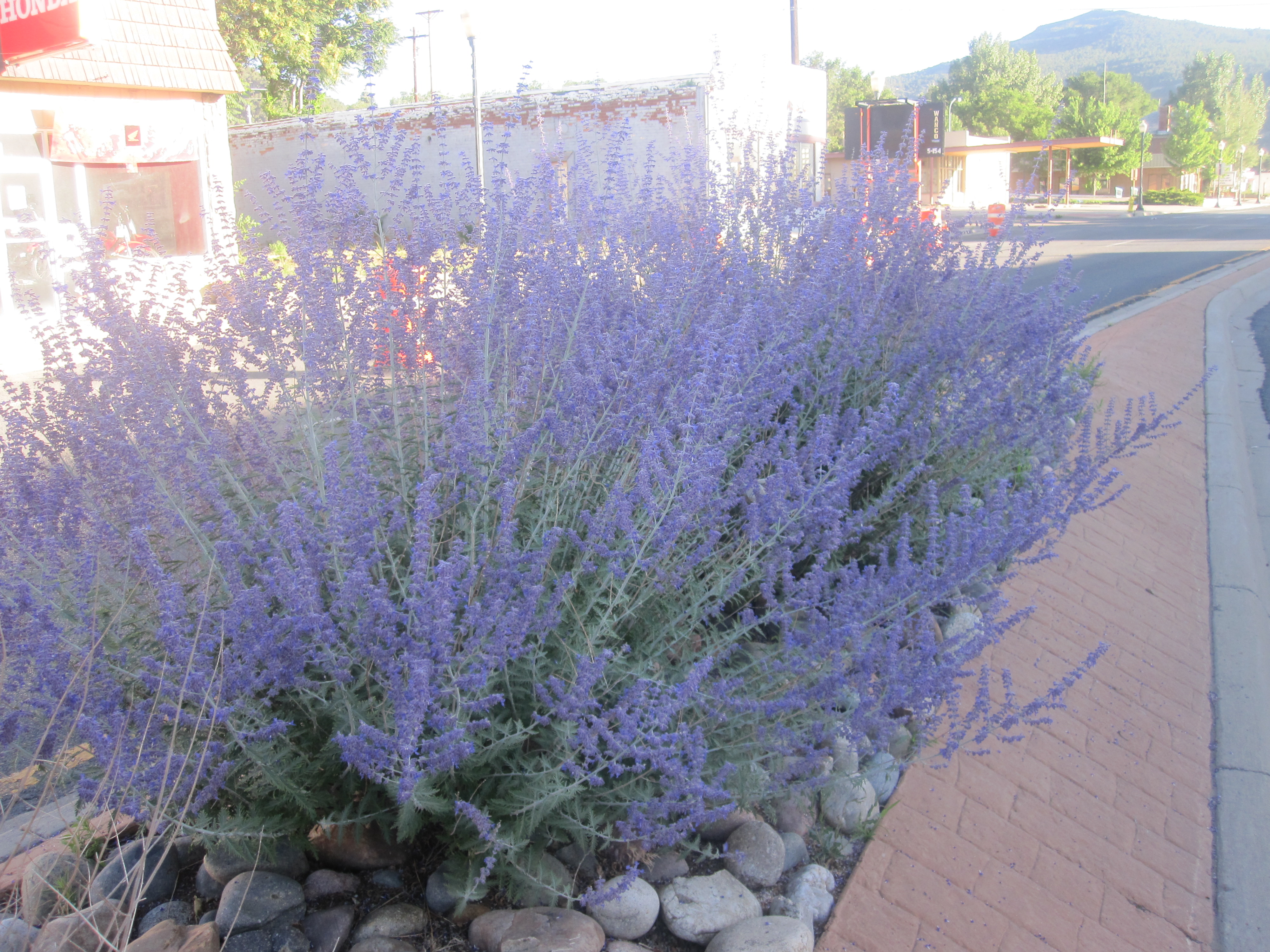
Purple sagebrush, Raton, NM IMG 4991.JPG - Billy Hathorn

Veterans Monument, Raton, NM IMG 4981.JPG - Billy Hathorn

Raton, NM, from U.S. Hwys. 64 and 87 IMG 4962.JPG - Billy Hathorn

Santa Fe Railroad car in Raton, NM IMG 5006.JPG - Billy Hathorn

Revised purple sagebrush, Raton, NM IMG 4990.JPG - Billy Hathorn

Johnson Mesa from Raton, NM.jpg - Pmsyyz

Tinaja, (extinct volcano,) west slope of Raton Mountain, New Mexico, 630 miles from Missouri River. (Boston Public Library).jpg - Flickr upload bot

The Streets of Raton, New Mexico (8751695585).jpg - Fæ

Dog on the Rails (8981947125).jpg - Fæ

New Mexico - Phillips Hole through Raton - NARA - 68144845.jpg - US National Archives bot

Trinidad Sandstone.jpg - Kent G. Budge

FAP 1-F, South Side of Raton, Looking North from South End of Project - DPLA - ad8b979d5db531f4d4858ac685aff3fa.jpg - DPLA bot
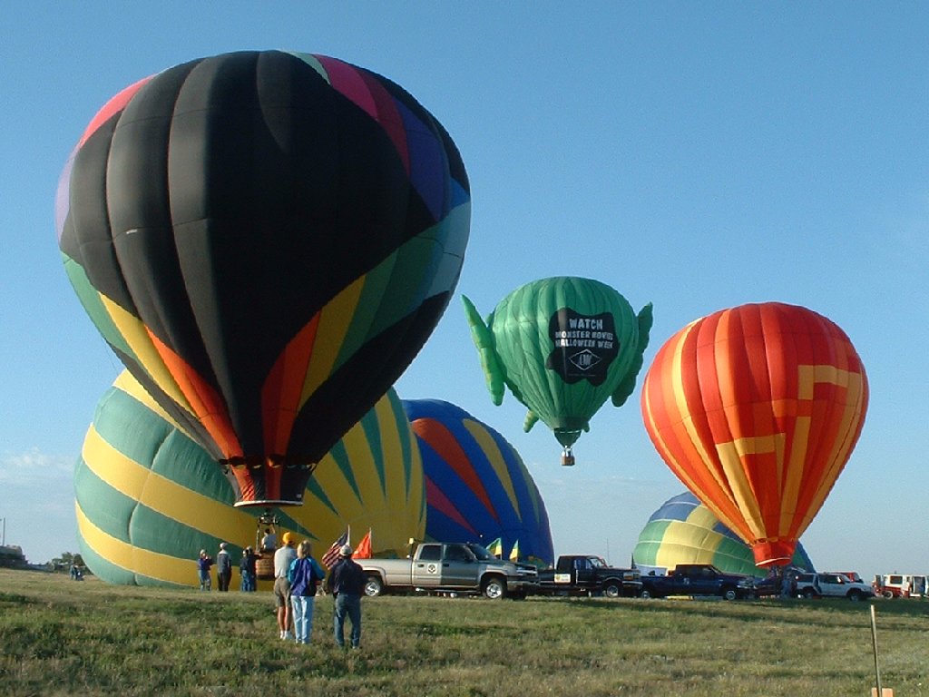
Raton-Balloon-Fiesta-2004.jpg - Wardster321

Raton-NM-as-seen-from-Goat-Hill.jpg - Wardster321

Capturando a la presa.jpg - Elizabeth Sanchez Ponce
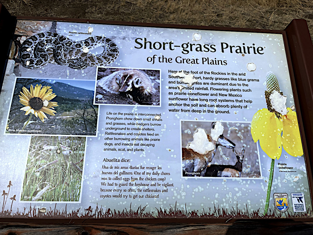
Maxwell National Wildlife Refuge-sign.jpg - Peterwchen

Raton New Mexico from Climax Canyon Nature Trail.jpg - Hollowayvideo

New Mexico - Phillips Hole through Raton - NARA - 68144845 (cropped).jpg - TheImaCow

Raton New Mexico History Museum 2024.png - Hollowayvideo

Raton New Mexico Balloon Rally 2022.jpg - Hollowayvideo

Raton NM Overlook.jpg - StormChaserAmelia