Wikimedi'Òc
Modes d'emploi

Cet album fait partie des albums
Cet album photos contient les sous-albums suivants :


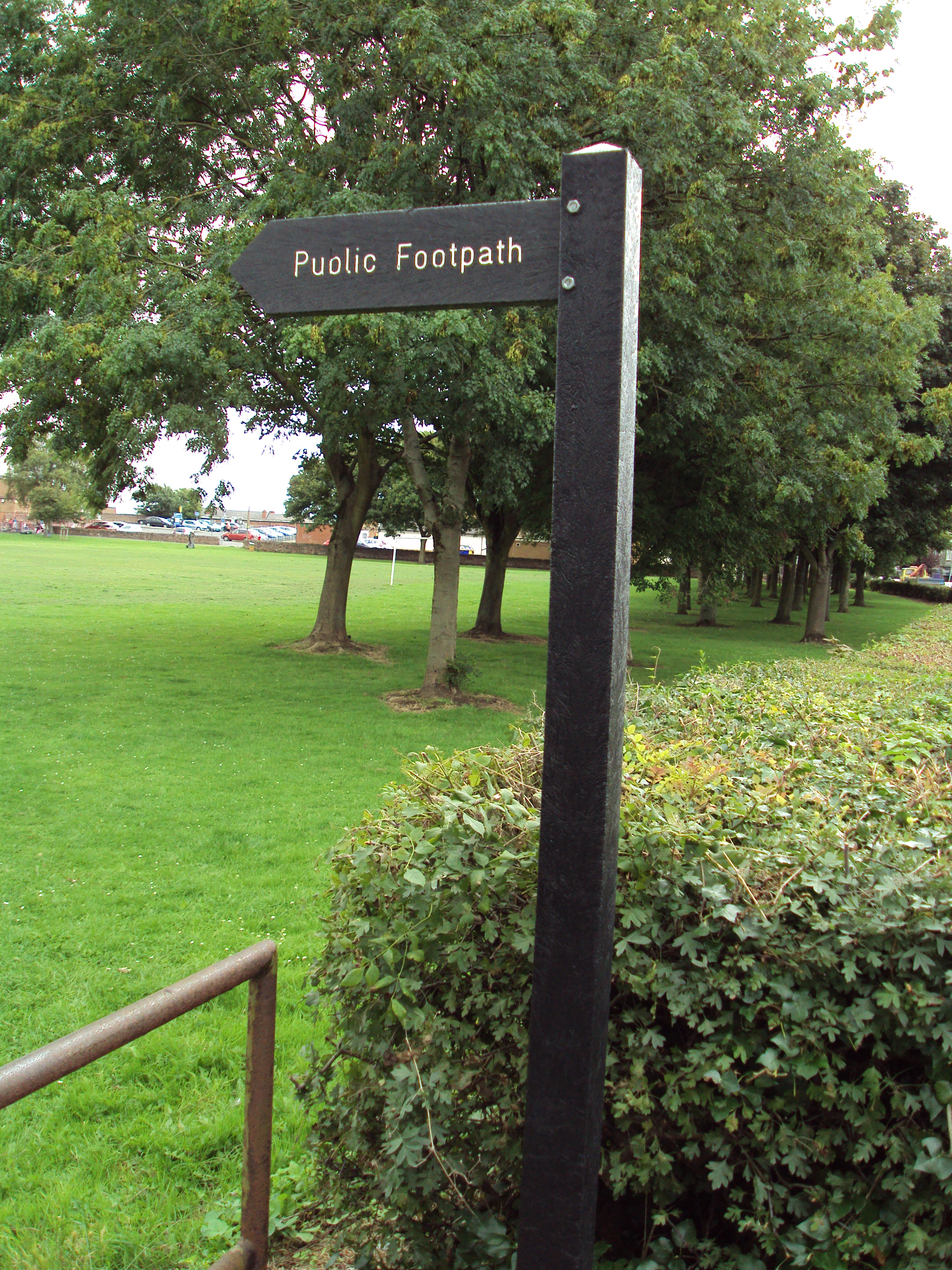
Benkid77 Green Bean Crop, Storeton 200709.JPG - Benkid77

Benkid77 Storeton Woods Footpath 1 240709.JPG - Benkid77

Benkid77 Storeton Woods Footpath 2 240709.JPG - Benkid77

Benkid77 Rest Hill Road footpath 1 240709.JPG - Benkid77

Benkid77 Rest Hill Road footpath 2.JPG - Benkid77

Benkid77 Rest Hill Road footpath 3.JPG - Benkid77

Benkid77 Rest Hill Road footpath 4.JPG - Benkid77

Benkid77 Rest Hill Road footpath 5.JPG - Benkid77

Benkid77 Brimstage footpath 1 240709.JPG - Benkid77

Benkid77 Brimstage footpath 2 240709.JPG - Benkid77

Benkid77 Brimstage footpath 3 240709.JPG - Benkid77

Benkid77 Brimstage footpath 4 240709.JPG - Benkid77

Benkid77 Keepers Lane footpath 1 240709.JPG - Benkid77

Benkid77 Keepers Lane footpath 2 240709.JPG - Benkid77

Benkid77 Keepers Lane footpath 3 240709.JPG - Benkid77

Benkid77 Brimstage pillbox footpath 1 240709.JPG - Benkid77

Benkid77 Brimstage craft centre footpath 1 240709.JPG - Benkid77

Benkid77 Brimstage craft centre footpath 2 240709.JPG - Benkid77

Benkid77 Brimstage craft centre footpath 3 240709.JPG - Benkid77

Benkid77 Brimstage craft centre footpath 4 240709.JPG - Benkid77

Benkid77 Brimstage craft centre footpath 5 240709.JPG - Benkid77

Benkid77 Brimstage craft centre footpath 6 240709.JPG - Benkid77

Benkid77 Brimstage craft centre footpath 7 240709.JPG - Benkid77

Benkid77 Talbot Avenue footpath 1 240709.JPG - Benkid77

Benkid77 Talbot Avenue footpath 2 240709.JPG - Benkid77

Benkid77 Raby footpath 1 240709.JPG - Benkid77

Benkid77 Raby footpath 2.JPG - Benkid77

Benkid77 B5136 12 240709.JPG - Benkid77

Benkid77 Thornton Hough-Clatterbridge footpath 1 240709.JPG - Benkid77

Benkid77 Thornton Hough-Clatterbridge footpath 2 240709.JPG - Benkid77

Benkid77 Thornton Hough-Clatterbridge footpath 3 240709.JPG - Benkid77

Benkid77 Thornton Hough-Clatterbridge footpath 4 240709.JPG - Benkid77

Benkid77 Thornton Hough-Clatterbridge footpath 5 240709.JPG - Benkid77

Benkid77 Thornton Hough-Clatterbridge footpath 6 240709.JPG - Benkid77

Benkid77 Thornton Hough-Clatterbridge footpath 7 240709.JPG - Benkid77

Benkid77 Thornton Hough-Clatterbridge footpath 9 240709.JPG - Benkid77

Benkid77 Thornton Hough-Clatterbridge footpath 10 240709.JPG - Benkid77

Benkid77 Thornton Hough-Clatterbridge footpath 11 240709.JPG - Benkid77

Benkid77 Thornton Hough-Clatterbridge footpath 12 240709.JPG - Benkid77

Benkid77 Thornton Hough-Clatterbridge footpath 13 240709.JPG - Benkid77

Benkid77 Thornton Hough-Clatterbridge footpath 14 240709.JPG - Benkid77

Benkid77 Thornton Hough-Clatterbridge footpath 16 240709.JPG - Benkid77

Benkid77 Thornton Hough-Clatterbridge footpath 17 240709.JPG - Benkid77

Benkid77 Thornton Hough-Clatterbridge footpath 18 240709.JPG - Benkid77

Benkid77 Thornton Hough-Clatterbridge footpath 19 240709.JPG - Benkid77

Benkid77 Thornton Hough-Clatterbridge footpath 20 240709.JPG - Benkid77

Benkid77 Thornton Hough-Clatterbridge footpath 8 240709.JPG - Benkid77

Benkid77 Thornton Hough-Clatterbridge footpath 21 240709.JPG - Benkid77

Benkid77 Thornton Hough-Clatterbridge footpath 22 240709.JPG - Benkid77

Benkid77 Thornton Hough-Clatterbridge footpath 23 240709.JPG - Benkid77

Benkid77 Brackenwood Road, Wirral 240709.JPG - Benkid77

Benkid77 Brackenwood-Storeton footpath 1 240709.JPG - Benkid77

Benkid77 Brackenwood-Storeton footpath 2 240709.JPG - Benkid77

Benkid77 Brackenwood-Storeton footpath 3 240709.JPG - Benkid77

Benkid77 Brackenwood-Storeton footpath 4 240709.JPG - Benkid77

Benkid77 Brackenwood-Storeton footpath 5 240709.JPG - Benkid77

Benkid77 Brackenwood-Storeton footpath 6 240709.JPG - Benkid77

Benkid77 Brackenwood-Storeton footpath 7 240709.JPG - Benkid77

Benkid77 Brackenwood-Storeton footpath 8 240709.JPG - Benkid77

Benkid77 Brackenwood-Storeton footpath 9 240709.JPG - Benkid77

Benkid77 Brackenwood-Storeton footpath 10 240709.JPG - Benkid77

Benkid77 Higher Bebington B5151 footpath 240709.JPG - Benkid77

Talbot Avenue-Thornton Hough footpath 1.JPG - Benkid77

Talbot Avenue-Thornton Hough footpath 2.JPG - Benkid77

Talbot Avenue-Thornton Hough footpath 3.JPG - Benkid77

Talbot Avenue-Thornton Hough footpath 4.JPG - Benkid77

Talbot Avenue-Thornton Hough footpath 5.JPG - Benkid77

Talbot Avenue-Thornton Hough footpath 6.JPG - Benkid77

Talbot Avenue-Thornton Hough footpath 7.JPG - Benkid77

Talbot Avenue-Thornton Hough footpath 8.JPG - Benkid77

Talbot Avenue-Thornton Hough footpath 9.JPG - Benkid77

Talbot Avenue-Thornton Hough footpath 10.JPG - Benkid77

Talbot Avenue-Thornton Hough footpath 11.JPG - Benkid77

Talbot Avenue-Thornton Hough footpath 12.JPG - Benkid77

Talbot Avenue-Thornton Hough footpath 13.JPG - Benkid77

West Road footpath sign, Birkenhead.JPG - Benkid77

Upton-Woodchurch footpath 1.JPG - Benkid77

Public footpath sign, Frankby.JPG - Benkid77

Signs, Larton 1.JPG - Benkid77

Signs, Larton 2.JPG - Benkid77

Frankby Stiles, Larton.JPG - Benkid77

Black Horse Hill public footpath sign.JPG - Benkid77

Black Horse Hill public footpath.JPG - Benkid77

Grange Hill footpath sign, West Kirby.JPG - Benkid77

Grange Hill footpath, West Kirby.JPG - Benkid77

Footpath to Ashton Park, West Kirby.JPG - Benkid77

Footpath to Ashton Park, West Kirby 2.JPG - Benkid77

Footpath, Column Road, West Kirby 1.JPG - Benkid77

Footpath, Column Road, West Kirby 2.JPG - Benkid77

Footpath, Column Road, West Kirby 3.JPG - Benkid77

Footpath, Column Road, West Kirby 4.JPG - Benkid77

Footpath, Column Road, West Kirby 5.JPG - Benkid77

Footpath, Column Road, West Kirby 6.JPG - Benkid77

Footpath, Column Road, West Kirby 7.JPG - Benkid77

Footpath, Column Road, West Kirby 8.JPG - Benkid77

Kings Drive North, Caldy Hill 2.JPG - Benkid77

Footpath, Column Road.JPG - Benkid77

Public footpath to Caldy Hill 1.JPG - Benkid77

Public footpath to Caldy Hill 2.JPG - Benkid77

Public footpath to Caldy Hill 3.JPG - Benkid77

Public footpath to Caldy Hill 4.JPG - Benkid77

Footpath, Column Road, Caldy 1.JPG - Benkid77

Footpath, Column Road, Caldy 2.JPG - Benkid77

Footpath, Column Road, Caldy 3.JPG - Benkid77

Footpath, Column Road, Caldy 4.JPG - Benkid77

Footpath, Column Road, Caldy 5.JPG - Benkid77

Footpath, Telegraph Road, Caldy 1.JPG - Benkid77

Footpath, Telegraph Road, Caldy 2.JPG - Benkid77

Footpath, Telegraph Road, Caldy 3.JPG - Benkid77

Footpath, Telegraph Road, Caldy 4.JPG - Benkid77

Thurstaston Common sign.JPG - Benkid77

Footpath, Thurstaston Road.JPG - Benkid77
Footpath, Heswall 1.JPG - Benkid77

Footpath, Heswall 2.JPG - Benkid77

Footpath, Heswall 3.JPG - Benkid77

Footpath, Heswall 4.JPG - Benkid77

Public Bridleway, Lightfoot Lane, Heswall 1.JPG - Benkid77
Public Bridleway, Lightfoot Lane, Heswall 2.JPG - Benkid77

Public footpath sign to Saughall Massie, A553.jpg - Benkid77

Public Footpath, Roman Road, Meols.JPG - Benkid77

Public footpath, A41, Eastham.JPG - Benkid77

Footpath, Port Sunlight 1.JPG - Benkid77
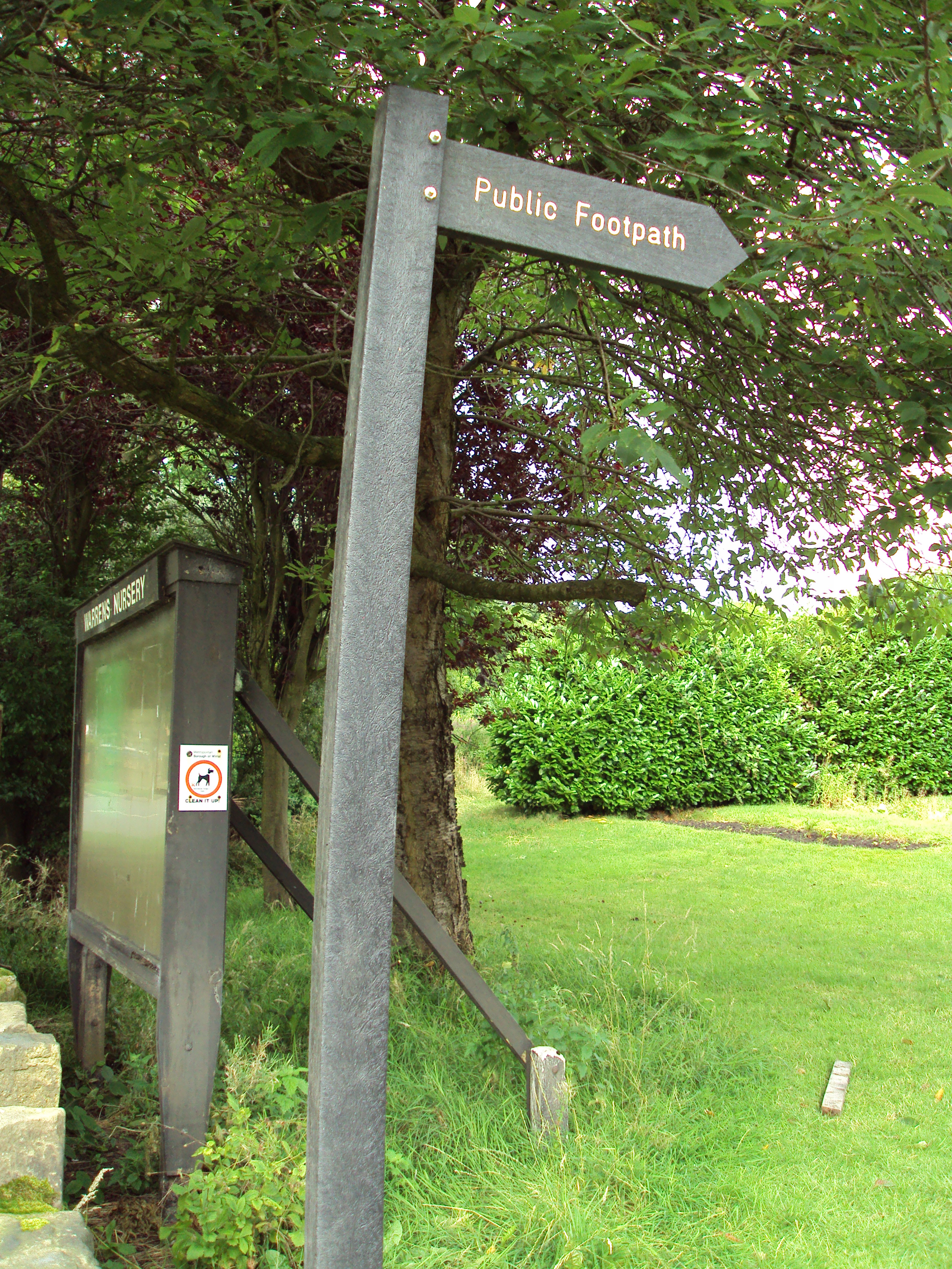
Warrens Nursey public footpath, Arrowe Park 1.JPG - Benkid77

Warrens Nursery public footpath, Arrowe Park 2.JPG - Benkid77

Landican-Thingwall public footpath 1.JPG - Benkid77

Landican-Thingwall public footpath 2.JPG - Benkid77

Landican-Thingwall public footpath 3.JPG - Benkid77

Barnston Road-Landican public footpath 1.JPG - Benkid77

Barnston Road-Landican public footpath 2.JPG - Benkid77

Irby-Lower Pensby public footpath 1.JPG - Benkid77

Irby-Lower Pensby public footpath 2.JPG - Benkid77

Public footpath to Oxton, Woodchurch Road 1.JPG - Benkid77

Public footpath to Oxton, Woodchurch Road 2.JPG - Benkid77

Holm Lane footpath 1.JPG - Benkid77

Holm Lane footpath 2.JPG - Benkid77

Holm Lane footpath 3.JPG - Benkid77

Tree roots, Roman Road 1.JPG - Benkid77

Tree roots, Roman Road 2.JPG - Benkid77

Sign, Royal Liverpool GC footpath.JPG - Benkid77

Royal Liverpool GC footpath 2.JPG - Benkid77

Pinfold Lane public footpath 1.JPG - Benkid77

Pinfold Lane public footpath 2.JPG - Benkid77

Meols Drive-Grange Hill footpath 1.JPG - Benkid77

Meols Drive-Grange Hill footpath 2.JPG - Benkid77

Old Chester Road footpath 1.JPG - Benkid77

Old Chester Road footpath sign.JPG - Benkid77

Old Chester Road footpath 2.JPG - Benkid77

Eastham Country Park, Wirral - DSC03478.JPG - Benkid77

Eastham Country Park, Wirral - DSC03479.JPG - Benkid77

Public footpath to Woodchurch Road, Upton.JPG - Benkid77

Storeton, Wirral - DSC04119.JPG - Benkid77

Storeton, Wirral - DSC04123.JPG - Benkid77

Storeton, Wirral - DSC04130.JPG - Benkid77

Storeton, Wirral - DSC04131.JPG - Benkid77

Storeton, Wirral - DSC04132.JPG - Benkid77

Storeton, Wirral - DSC04134.JPG - Benkid77

Storeton, Wirral - DSC04138.JPG - Benkid77

Storeton, Wirral - DSC04139.JPG - Benkid77

Storeton, Wirral - DSC04141.JPG - Benkid77

Storeton, Wirral - DSC04142.JPG - Benkid77

Storeton, Wirral - DSC04143.JPG - Benkid77

Storeton, Wirral - DSC04144.JPG - Benkid77

Storeton, Wirral - DSC04145.JPG - Benkid77

Storeton, Wirral - DSC04146.JPG - Benkid77

Woodchurch, Birkenhead - DSC03973.JPG - Benkid77

Woodchurch, Birkenhead - DSC03974.JPG - Benkid77

Mockbeggar Wharf-by-Sue-Adair.jpg - Benkid77

Mouth of the Mersey-by-Sue-Adair.jpg - Benkid77

Cycleway and sea defences-by-Raymond-Knapman.jpg - Benkid77

Little ray of sunshine-by-Peter-Craine.jpg - Benkid77

Cycleway and sea defences (1)-by-Raymond-Knapman.jpg - Benkid77
Path and sand dunes at Mockbeggar Wharf-by-Raymond-Knapman.jpg - Benkid77

Beach and North Wirral Coastal Park-by-Sue-Adair.jpg - Benkid77

Groynes and sea defences at Leasowe-by-Raymond-Knapman.jpg - Benkid77

North Wirral Coastal Park Pathway-by-E-Pollock.jpg - Benkid77

Moreton, Merseyside - DSC04380.JPG - Benkid77

Moreton, Merseyside - DSC04382.JPG - Benkid77
Moreton, Merseyside - DSC04410.JPG - Benkid77

Moreton, Merseyside - DSC04411.JPG - Benkid77

Bebington - DSC04494.JPG - Benkid77

Bebington - DSC04495.JPG - Benkid77

Bebington - DSC04561.JPG - Benkid77

Bebington - DSC04562.JPG - Benkid77
Bebington - DSC04565.JPG - Benkid77

Bebington - DSC04566.JPG - Benkid77

Walkway, West Kirby - scan01.jpg - Benkid77

Footpath to Leasowe Lighthouse-by-David-Quinn.jpg - Benkid77

Coastal defences-by-Andrew-Whale.jpg - Benkid77

Access point to North Wirral Coastal Park-by-Raymond-Knapman.jpg - Benkid77

Leasowe Lighthouse sign and public bridleway - DSC04610.JPG - Benkid77

Public Bridleway near Leasowe Lighthouse - DSC04613.JPG - Benkid77

Public bridleway, Leasowe Road - DSC04607.JPG - Benkid77

Public bridleway, Leasowe Road - DSC04609.JPG - Benkid77

Public footpath to Bidston, Breck Road, Wallasey - DSC04584.JPG - Benkid77

Dibbinsdale - DSC04670.JPG - Benkid77

Public footpath, Brackenwood golf course - DSC04684.JPG - Benkid77

Public footpath, Brackenwood golf course - DSC04685.JPG - Benkid77

Public footpath, Brackenwood golf course - DSC04686.JPG - Benkid77

View of Footpath to Meols - geograph.org.uk - 1411775.jpg - File Upload Bot (Magnus Manske)

Wirral Farmland and Footpath - geograph.org.uk - 1411778.jpg - File Upload Bot (Magnus Manske)

Footpath to Saughall Massie Road - geograph.org.uk - 1411781.jpg - File Upload Bot (Magnus Manske)

Farm Road and Footpath - geograph.org.uk - 1411789.jpg - File Upload Bot (Magnus Manske)

Footpath near Meols - geograph.org.uk - 1411796.jpg - File Upload Bot (Magnus Manske)

Footpath to Meols - geograph.org.uk - 1411770.jpg - File Upload Bot (Magnus Manske)

Footpath to Greasby - geograph.org.uk - 1411844.jpg - File Upload Bot (Magnus Manske)

Footpath to Greasby - geograph.org.uk - 1411852.jpg - File Upload Bot (Magnus Manske)

Footpath to Newton - geograph.org.uk - 1411868.jpg - File Upload Bot (Magnus Manske)

Footpath to Greasby - geograph.org.uk - 1411866.jpg - File Upload Bot (Magnus Manske)

Footpath to Greasby - geograph.org.uk - 1411864.jpg - File Upload Bot (Magnus Manske)

Footpath to Newton - geograph.org.uk - 1411855.jpg - File Upload Bot (Magnus Manske)

Public footpath from Saughall Massie Road to Frankby - geograph.org.uk - 49508.jpg - File Upload Bot (Magnus Manske)

Public footpath from Saughall Massie Road to Frankby - geograph.org.uk - 49180.jpg - File Upload Bot (Magnus Manske)

Fender Way footpath - geograph.org.uk - 503676.jpg - File Upload Bot (Magnus Manske)

Pathway down Caldy Hill - geograph.org.uk - 1503687.jpg - File Upload Bot (Magnus Manske)

Link footpath near Caldy - geograph.org.uk - 637921.jpg - File Upload Bot (Magnus Manske)

Farm - Common - Public Land near Irby - geograph.org.uk - 824367.jpg - File Upload Bot (Magnus Manske)
Gated Approach - geograph.org.uk - 669269.jpg - File Upload Bot (Magnus Manske)

Permissive Footpath - geograph.org.uk - 637847.jpg - File Upload Bot (Magnus Manske)
Footpath near Landican Road - geograph.org.uk - 718061.jpg - File Upload Bot (Magnus Manske)
Pathway, Landican - geograph.org.uk - 1412356.jpg - File Upload Bot (Magnus Manske)
Footpath near Thurstaston - geograph.org.uk - 637915.jpg - File Upload Bot (Magnus Manske)

Footpath near Caldy - geograph.org.uk - 637918.jpg - File Upload Bot (Magnus Manske)

Gated Entrance - geograph.org.uk - 689797.jpg - File Upload Bot (Magnus Manske)

Gated Access - geograph.org.uk - 668007.jpg - File Upload Bot (Magnus Manske)

Footpath near Thurstaston. - geograph.org.uk - 637890.jpg - File Upload Bot (Magnus Manske)

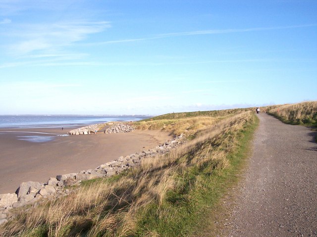
Cliff top path - geograph.org.uk - 869965.jpg - File Upload Bot (Magnus Manske)

Cliff top path - geograph.org.uk - 869954.jpg - File Upload Bot (Magnus Manske)

Footbridge, Thurstaston clifftop footpath - geograph.org.uk - 69668.jpg - File Upload Bot (Magnus Manske)

M53 Motorway, Storeton - geograph.org.uk - 199137.jpg - File Upload Bot (Magnus Manske)

Footpath between Storeton and Brimstage Lane - geograph.org.uk - 718070.jpg - File Upload Bot (Magnus Manske)

Footpath to Storeton. - geograph.org.uk - 681461.jpg - File Upload Bot (Magnus Manske)

Footpath near Brimstage - geograph.org.uk - 681475.jpg - File Upload Bot (Magnus Manske)

Stile and Footpath to Thornton Hough - geograph.org.uk - 681487.jpg - File Upload Bot (Magnus Manske)

Footpath in Thornton Manor Estate - geograph.org.uk - 718081.jpg - File Upload Bot (Magnus Manske)

Footpath between Thornton Hough and Clatterbridge - geograph.org.uk - 1029194.jpg - File Upload Bot (Magnus Manske)

Public Bridleway between Brimstage and New Rocklands - geograph.org.uk - 1029188.jpg - File Upload Bot (Magnus Manske)

Stile on Footpath between Brimstage and Thornton Hough - geograph.org.uk - 1029185.jpg - File Upload Bot (Magnus Manske)

Footpath between Brimstage and Thornton Hough - geograph.org.uk - 1029182.jpg - File Upload Bot (Magnus Manske)

Footpath to Brimstage - geograph.org.uk - 1029171.jpg - File Upload Bot (Magnus Manske)

Private Road - Footpath near Thornton Hough - geograph.org.uk - 1029165.jpg - File Upload Bot (Magnus Manske)

Footpath between Thornton Hough and Clatterbridge - geograph.org.uk - 1029192.jpg - File Upload Bot (Magnus Manske)

Gayton - view along Gayton Farm Road - geograph.org.uk - 271993.jpg - File Upload Bot (Magnus Manske)

Footpath across Heswall golf course - geograph.org.uk - 1140621.jpg - File Upload Bot (Magnus Manske)

Footpath across Heswall golf course - geograph.org.uk - 1140485.jpg - File Upload Bot (Magnus Manske)

Footpath to the Wirral Way - geograph.org.uk - 1140385.jpg - File Upload Bot (Magnus Manske)

Woodland path in Wirral Country Park - geograph.org.uk - 1737042.jpg - GeographBot

Cycleway - geograph.org.uk - 1766849.jpg - GeographBot

Footpath from Magazine Road to Stadium Road - geograph.org.uk - 1766780.jpg - GeographBot

Footpath linking Magazine Road and Magazine Lane - geograph.org.uk - 1766768.jpg - GeographBot

Public footpath to Highcroft Avenue - geograph.org.uk - 1768832.jpg - GeographBot

Public footpath near Caldy - IMG 1116.JPG - Green Lane

Stile near Caldy - IMG 1118.JPG - Green Lane

Path, Linear Park, Moreton - IMG 0436.JPG - Green Lane

Path, Linear Park, Moreton - IMG 0438.JPG - Green Lane

Public footpath, Linear Park, Moreton - IMG 0435.JPG - Green Lane

Bollards on public footpath, Upton - IMG 0530.JPG - Green Lane
Grass near Upton wastewater station - IMG 0526.JPG - Green Lane

Public footpath near Upton Wastewater Station - IMG 0527.JPG - Green Lane

Public footpath sign, Upton - IMG 0535.JPG - Green Lane

Public footpath sign, Upton - IMG 0536.JPG - Green Lane

Public footpath, Altcar Drive, Moreton - IMG 0462.JPG - Green Lane

Public footpath, Felthorpe Close, Upton - IMG 0512.JPG - Green Lane

Public footpath, Upton - IMG 0513.JPG - Green Lane

Public footpath, Upton - IMG 0514.JPG - Green Lane

Public footpath, Upton - IMG 0518.JPG - Green Lane

Public footpath, Upton - IMG 0534.JPG - Green Lane

Reeds near the Fender, Upton - IMG 0519.JPG - Green Lane

Sandy Way, Birkenhead - IMG 0580.JPG - Green Lane

Wooded area, Norwich Drive, Upton - IMG 0509.JPG - Green Lane

Footpath in The Arno rose garden, Oxton - IMG 0904.JPG - Green Lane

Public Footpath, Thurstaston - IMG 0862.JPG - Green Lane

Public footpath, Caldy - IMG 0854.JPG - Green Lane

Public footpath near Carr Lane, Hoylake (3).JPG - Rept0n1x

Public footpath near Carr Lane, Hoylake (2).JPG - Rept0n1x

Public footpath near Carr Lane, Hoylake (4).JPG - Rept0n1x

Solly Recreation Ground, Prenton (1).JPG - Rept0n1x

Solly Recreation Ground, Prenton (28).JPG - Rept0n1x

Solly Recreation Ground, Prenton (3).JPG - Rept0n1x

Solly Recreation Ground, Prenton (4).JPG - Rept0n1x

Public footpath from Woodchurch Road, Prenton to Oxton (1).JPG - Rept0n1x

Public footpath from Woodchurch Road, Prenton to Oxton (2).JPG - Rept0n1x

Public footpath from Woodchurch Road, Prenton to Oxton (3).JPG - Rept0n1x

Public footpath from Woodchurch Road, Prenton to Oxton (4).JPG - Rept0n1x

Footpath alongside Egerton Dock, Birkenhead.JPG - Rept0n1x

Footpath between Campbeltown Road and New Chester Road, Birkenhead.JPG - Rept0n1x

Public bridleway at Leasowe, Wirral (1).JPG - Rept0n1x

Public footpath at Leasowe, Wirral (10).JPG - Rept0n1x

Public footpath at Leasowe, Wirral (11).JPG - Rept0n1x

Public footpath at Leasowe, Wirral (12).JPG - Rept0n1x

Public footpath at Leasowe, Wirral (13).JPG - Rept0n1x

Public footpath at Leasowe, Wirral (2).JPG - Rept0n1x

Public footpath at Leasowe, Wirral (3).JPG - Rept0n1x

Public footpath at Leasowe, Wirral (4).JPG - Rept0n1x

Public footpath at Leasowe, Wirral (5).JPG - Rept0n1x

Public footpath at Leasowe, Wirral (6).JPG - Rept0n1x

Public footpath at Leasowe, Wirral (7).JPG - Rept0n1x

Public footpath at Leasowe, Wirral (8).JPG - Rept0n1x

Public footpath at Leasowe, Wirral (9).JPG - Rept0n1x

Public footpath from Oldfield Lane to Meols (1).JPG - Rept0n1x

Public footpath from Oldfield Lane to Meols (10).JPG - Rept0n1x

Public footpath from Oldfield Lane to Meols (11).JPG - Rept0n1x

Public footpath from Oldfield Lane to Meols (12).JPG - Rept0n1x

Public footpath from Oldfield Lane to Meols (13).JPG - Rept0n1x

Public footpath from Oldfield Lane to Meols (14).JPG - Rept0n1x

Public footpath from Oldfield Lane to Meols (15).JPG - Rept0n1x

Public footpath from Oldfield Lane to Meols (16).JPG - Rept0n1x

Public footpath from Oldfield Lane to Meols (17).JPG - Rept0n1x

Public footpath from Oldfield Lane to Meols (18).JPG - Rept0n1x

Public footpath from Oldfield Lane to Meols (19).JPG - Rept0n1x

Public footpath from Oldfield Lane to Meols (2).JPG - Rept0n1x

Public footpath from Oldfield Lane to Meols (20).JPG - Rept0n1x

Public footpath from Oldfield Lane to Meols (21).JPG - Rept0n1x

Public footpath from Oldfield Lane to Meols (22).JPG - Rept0n1x

Public footpath from Oldfield Lane to Meols (23).JPG - Rept0n1x

Public footpath from Oldfield Lane to Meols (3).JPG - Rept0n1x

Public footpath from Oldfield Lane to Meols (4).JPG - Rept0n1x

Public footpath from Oldfield Lane to Meols (5).JPG - Rept0n1x

Public footpath from Oldfield Lane to Meols (6).JPG - Rept0n1x

Public footpath from Oldfield Lane to Meols (7).JPG - Rept0n1x

Public footpath from Oldfield Lane to Meols (8).JPG - Rept0n1x

Public footpath from Oldfield Lane to Meols (9).JPG - Rept0n1x

Saughall Massie Road, Wirral (1).JPG - Rept0n1x

Footpath at Civic Way, Bebington.jpg - Rept0n1x

Footpath at Green Lane, Bebington.jpg - Rept0n1x

Footpath at Tanar Close, Spital.jpg - Rept0n1x

Public footpath on Grange Hill, West Kirby.JPG - Rept0n1x

Public footpath near Rock Ferry High School, Birkenhead (1).JPG - Rept0n1x

Public footpath near Rock Ferry High School, Birkenhead (2).JPG - Rept0n1x

Public footpath at Holmwood Drive, Thingwall.JPG - Rept0n1x

Public footpath to Lower Pensby at Irby.JPG - Rept0n1x

Public footpath at Rectory Road, West Kirby (1).JPG - Rept0n1x

Public footpath at Rectory Road, West Kirby (2).JPG - Rept0n1x

Gorse on the public footpath near Frankby Cottage, Wirral (1).JPG - Rept0n1x

Gorse on the public footpath near Frankby Cottage, Wirral (2).JPG - Rept0n1x

Gorse on the public footpath near Frankby Cottage, Wirral (3).JPG - Rept0n1x

Public footpath near Frankby Cottage, Wirral (1).JPG - Rept0n1x

Public footpath near Frankby Cottage, Wirral (2).JPG - Rept0n1x

Vyner Road North, Birkenhead (3).JPG - Rept0n1x

Path to The Dungeon, Thurstaston.jpg - Rodhullandemu

Path into Whitfield Common.jpg - Rodhullandemu

Footpath to Downham Road, Heswall.jpg - Rodhullandemu

Northern path to St Andrew's Church, Bebington 1.jpg - Rodhullandemu

Northern path to St Andrew's Church, Bebington 2.jpg - Rodhullandemu

Path from Patrick Wood bridge.jpg - Rodhullandemu

Path to Vanderbyl Avenue.jpg - Rodhullandemu

Path to Brotherton Park.jpg - Rodhullandemu

Path in Bromborough Moat.jpg - Rodhullandemu

Path to Priory Lake, Bromborough Moat.jpg - Rodhullandemu

A bench with a view - geograph.org.uk - 3377300.jpg - GeographBot