Wikimedi'Òc
Modes d'emploi

Cet album fait partie des albums
Cet album photos contient les sous-albums suivants :


Hulmes Wood - geograph.org.uk - 44213.jpg - GeographBot

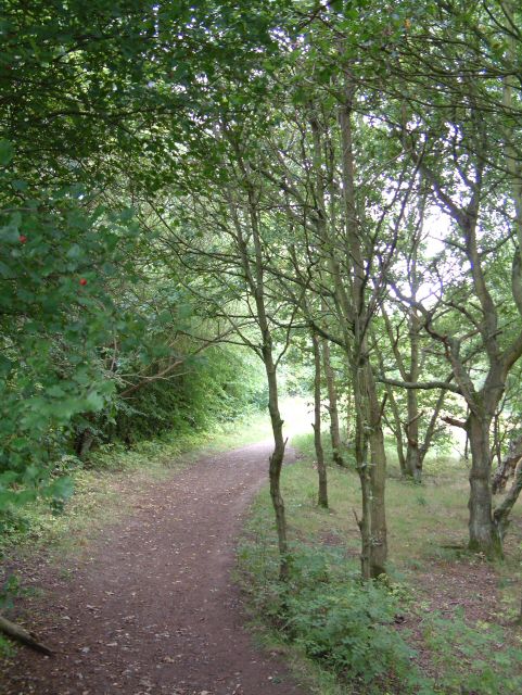
Steps on the Way - geograph.org.uk - 58152.jpg - GeographBot

Cobbled Path - geograph.org.uk - 797069.jpg - GeographBot
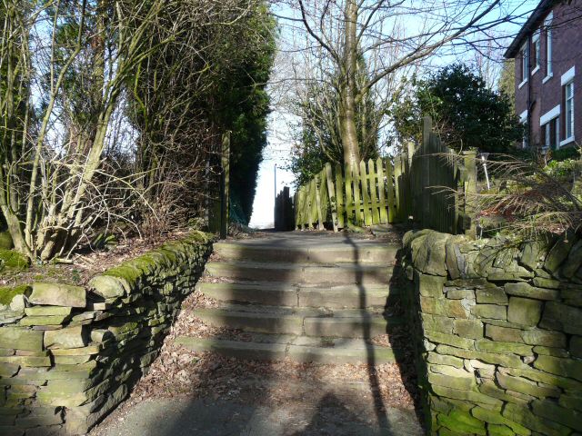
Church Avenue Steps - geograph.org.uk - 834966.jpg - GeographBot

Path towards Uplands Road - geograph.org.uk - 972884.jpg - GeographBot

Peak Forest Canal at Captain Clarkes Bridge - geograph.org.uk - 995556.jpg - GeographBot

Coach Road - geograph.org.uk - 1007716.jpg - GeographBot

A Tight Squeeze - geograph.org.uk - 1011234.jpg - GeographBot
Footpath to Gibraltar Row - geograph.org.uk - 1012330.jpg - GeographBot

Footpath to Godley - geograph.org.uk - 1052393.jpg - GeographBot

Old Railway Wall - geograph.org.uk - 1076948.jpg - GeographBot

Footpath to Canal - geograph.org.uk - 1274464.jpg - GeographBot

Footpath to Ashton Moss - geograph.org.uk - 1297769.jpg - GeographBot

Cat on Guard - geograph.org.uk - 1337402.jpg - GeographBot

Footpath to Church Meadow - geograph.org.uk - 1375542.jpg - GeographBot

Canal Footbridge - geograph.org.uk - 1741051.jpg - GeographBot

Footpath on Hough Hill - geograph.org.uk - 2056935.jpg - GeographBot

Footpath to Dowson Road - geograph.org.uk - 2063086.jpg - GeographBot

Footpath towards Bowlacre Farm - geograph.org.uk - 2246781.jpg - GeographBot

Footpath by Godley Brook - geograph.org.uk - 2444764.jpg - GeographBot

Footpath by River Tame - geograph.org.uk - 2698058.jpg - GeographBot

Cobbled Path - geograph.org.uk - 2837154.jpg - GeographBot

Footpath Signpost, Ridge Hill - geograph.org.uk - 2999589.jpg - SteinsplitterBot

Lovers Lane - geograph.org.uk - 3621678.jpg - GeographBot

Footpath to Station Road - geograph.org.uk - 4429087.jpg - GeographBot

Footpath to Church View - geograph.org.uk - 6713345.jpg - GeographBot

Footpath to Church View - geograph.org.uk - 6714960.jpg - GeographBot

Footpath from Church View - geograph.org.uk - 6715021.jpg - GeographBot