Wikimedi'Òc
Modes d'emploi

Cet album fait partie des albums
Cet album photos contient les sous-albums suivants :


Newtonhollows.jpg - Carlog3

Benkid77 Puddington-Shotwick footpath 29 110809.JPG - Benkid77

Green Lane West gate, Shotwick.JPG - Benkid77

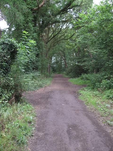
Public footpath, Vicar's Cross golf course.JPG - Benkid77

Golf carts, Vicar's Cross golf club.JPG - Benkid77

Public footpath, Kelsall 1.JPG - Benkid77

Public footpath, Kelsall 2.JPG - Benkid77

Public footpath, Littleton.JPG - Benkid77

Penistone Drive public footpath, Wirral - DSC03403.JPG - Benkid77

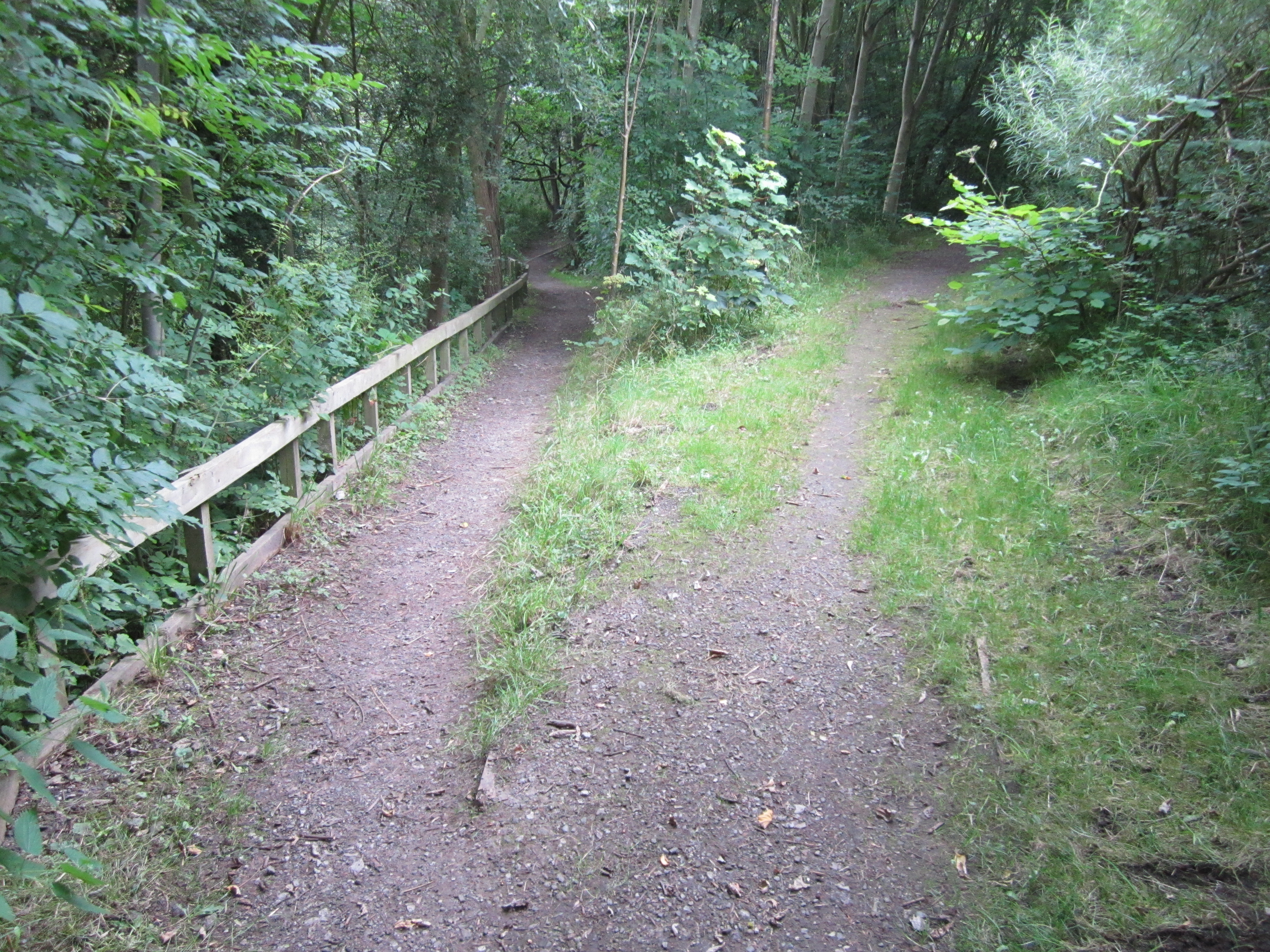
Footbridge over the boundary - geograph.org.uk - 1140403.jpg - File Upload Bot (Magnus Manske)

WWII pillbox and footpath - geograph.org.uk - 1137982.jpg - File Upload Bot (Magnus Manske)

Footpath - geograph.org.uk - 34768.jpg - File Upload Bot (Magnus Manske)

Footpath towards Thornton-le-Moors - geograph.org.uk - 1433720.jpg - File Upload Bot (Magnus Manske)

Footpath into Thornton-le-Moors - geograph.org.uk - 1433750.jpg - File Upload Bot (Magnus Manske)

Ancient Byway - geograph.org.uk - 34770.jpg - File Upload Bot (Magnus Manske)

Footpath to Thornton-le-Moors - geograph.org.uk - 1433688.jpg - File Upload Bot (Magnus Manske)

Footpath to Thornton-le-Moors - geograph.org.uk - 1433698.jpg - File Upload Bot (Magnus Manske)

Bridleway and Private Drive - geograph.org.uk - 1433579.jpg - File Upload Bot (Magnus Manske)

Footpath to Wervin Road - geograph.org.uk - 1433609.jpg - File Upload Bot (Magnus Manske)

View of Footpath to Wervin Road - geograph.org.uk - 1433614.jpg - File Upload Bot (Magnus Manske)

View of Footpath through the Field - geograph.org.uk - 1433616.jpg - File Upload Bot (Magnus Manske)

Croughton - beside The Dungeon - geograph.org.uk - 253862.jpg - File Upload Bot (Magnus Manske)

It's Amaizing - geograph.org.uk - 45010.jpg - File Upload Bot (Magnus Manske)

A Green lane near motorway - geograph.org.uk - 36132.jpg - File Upload Bot (Magnus Manske)

Mollington Farmland - geograph.org.uk - 44939.jpg - File Upload Bot (Magnus Manske)

Tiptoe through the Maize - geograph.org.uk - 44940.jpg - File Upload Bot (Magnus Manske)

Rough Grass - geograph.org.uk - 45003.jpg - File Upload Bot (Magnus Manske)

Rough Grass - geograph.org.uk - 44960.jpg - File Upload Bot (Magnus Manske)

Footbridge near Chester - geograph.org.uk - 33805.jpg - File Upload Bot (Magnus Manske)

Bell Tower Walk by Chester Cathedral - geograph.org.uk - 101943.jpg - GeographBot

Gate on the Sandstone Trail - geograph.org.uk - 193627.jpg - GeographBot

Footpath near Windmill Hill - geograph.org.uk - 218853.jpg - GeographBot

Footpath signs, Saughall - DSC06488.JPG - Green Lane

Footpath, cycleway and bridleway, Saughall - DSC06487.JPG - Green Lane

Stile, Woodbank - DSC06415.JPG - Green Lane

Path, Grosvenor Park, Chester - DSC08004.JPG - Green Lane

Public footpath at Grosvenor Road near the Overleigh Roundabout, Chester - DSC08048.JPG - Green Lane

Footpath to Bretton Woods - geograph.org.uk - 281691.jpg - GeographBot

Organsdale fields - geograph.org.uk - 282733.jpg - GeographBot

Path near Vale Royal Abbey - geograph.org.uk - 289247.jpg - GeographBot

Footbridge and disused railway embankment - geograph.org.uk - 323810.jpg - GeographBot

Footpath to Lea Newbold Farm - geograph.org.uk - 327074.jpg - GeographBot

Footpath towards Goostrey - geograph.org.uk - 327592.jpg - GeographBot

Beginning of Woodland - geograph.org.uk - 334209.jpg - GeographBot

Footpath to River Valley - geograph.org.uk - 334491.jpg - GeographBot

Frosty Corner - geograph.org.uk - 334469.jpg - GeographBot

Peover Eye Valley - geograph.org.uk - 335697.jpg - GeographBot

The Path to Long Lane - geograph.org.uk - 334230.jpg - GeographBot

Woodland Footpath - geograph.org.uk - 334474.jpg - GeographBot

Bridge Stile and Footpath towards Tarporley - geograph.org.uk - 387294.jpg - GeographBot

Railway Viaduct and Footpath by the Roodee - geograph.org.uk - 388752.jpg - GeographBot

Stile, Farmland and Marlpits - geograph.org.uk - 387491.jpg - GeographBot

Public Footpath to Coddington - geograph.org.uk - 406623.jpg - GeographBot

Rural Craft - geograph.org.uk - 405469.jpg - GeographBot

Tree-lined footpath - geograph.org.uk - 405497.jpg - GeographBot

Bridge Stile and Cows near Highfield Farm - geograph.org.uk - 412228.jpg - GeographBot

Bridge Stile and Cows near Highfield Farm - geograph.org.uk - 412288.jpg - GeographBot

Stile and Cows near Highfield Farm - geograph.org.uk - 412265.jpg - GeographBot

On Reflection - geograph.org.uk - 510383.jpg - GeographBot

Stile near Ash House. - geograph.org.uk - 537142.jpg - GeographBot

The Hollows - geograph.org.uk - 639627.jpg - GeographBot

Footpath to Beeston Moss - with a rainbow - geograph.org.uk - 665295.jpg - GeographBot

Leaning tree near Sicily Oak Farm - geograph.org.uk - 712083.jpg - GeographBot

Winnington - Northwich footpath 12 - geograph.org.uk - 861206.jpg - GeographBot

Footpath towards Budworth Lane - geograph.org.uk - 1011697.jpg - GeographBot

Footpath from Old St. Chad's. - geograph.org.uk - 1195341.jpg - GeographBot

View of footpath near Old St. Chad's - geograph.org.uk - 1195336.jpg - GeographBot

Blocked footpath - geograph.org.uk - 1244235.jpg - GeographBot

Riverside promenade - geograph.org.uk - 1333959.jpg - GeographBot

Footpath into Kingsley - geograph.org.uk - 1388322.jpg - GeographBot

Footpath into Kingsley - geograph.org.uk - 1388327.jpg - GeographBot

Footpath into Kingsley - geograph.org.uk - 1388362.jpg - GeographBot

Footpath near Kingsley - geograph.org.uk - 1388314.jpg - GeographBot
Footpath through Warburton's Wood - geograph.org.uk - 1388286.jpg - GeographBot

Footpath to Dodleston - geograph.org.uk - 1380353.jpg - GeographBot

Footpath towards the Weaver - geograph.org.uk - 1388232.jpg - GeographBot

View of the Footpath to Broughton - geograph.org.uk - 1380369.jpg - GeographBot

Footpath near Adders Moss - geograph.org.uk - 1600635.jpg - Rotatebot

Footpath through The Dingle - geograph.org.uk - 1654204.jpg - GeographBot

Footpath southwest of Ashton Hayes - geograph.org.uk - 1750593.jpg - GeographBot

The Hollows path on the southern side of Guilden Sutton - geograph.org.uk - 649643.jpg - GeographBot

Footpath actually on golf course - geograph.org.uk - 1773740.jpg - GeographBot

Footpath and stile beside Petty Pool Lake - geograph.org.uk - 1773829.jpg - GeographBot

Footpath at rear of cottages in Acton Bridge - geograph.org.uk - 1773490.jpg - GeographBot

Footpath beside the A556 Chester road - geograph.org.uk - 1773708.jpg - GeographBot

Footpath entering Petty Pool wood - geograph.org.uk - 1773799.jpg - GeographBot

Rivacre Valley, Great Sutton (2).JPG - Rept0n1x

Public footpath, Great Sutton.JPG - Rept0n1x

Stanney Woods Ellesmere Port, (1).JPG - Rept0n1x

Riverside Promenade Trail, Sealand Road, Chester.JPG - Rept0n1x

Gowy Meadows Nature Reserve (2).JPG - Rept0n1x

Gowy Meadows Nature Reserve (23).JPG - Rept0n1x

Gowy Meadows Nature Reserve (5).JPG - Rept0n1x

Public footpath near Gowy Meadows Nature Reserve (3).JPG - Rept0n1x

Public footpath near Gowy Meadows Nature Reserve (2).JPG - Rept0n1x

Public footpath near Gowy Meadows Nature Reserve (1).JPG - Rept0n1x
Green space near Pool Lane, Ince, Cheshire (1).JPG - Rept0n1x

Green space near Pool Lane, Ince, Cheshire (9).JPG - Rept0n1x

Public footpath off Chester Road, Frodsham (1).JPG - Rept0n1x

Public footpath off Chester Road, Frodsham (2).JPG - Rept0n1x

Sandstone Trail, Red Lane, Frodsham (1).JPG - Rept0n1x

Sandstone Trail, Red Lane, Frodsham (2).JPG - Rept0n1x

Public footpath, Hale View Road, Helsby.JPG - Rept0n1x

Restricted Byway, Lower Rake Lane, Helsby.JPG - Rept0n1x

Bridge over Acton Brook, Crowton.JPG - Dave.Dunford

Newtown public footpath, Little Neston.JPG - Rept0n1x

Footpath at Orchard Drive, Little Neston.JPG - Rept0n1x

Footpath off Blacon Point Road, Chester.JPG - Rept0n1x

Footpath off Highfield Road, Blacon.JPG - Rept0n1x

Spooky path - panoramio.jpg - Panoramio upload bot

Tow Path - panoramio.jpg - Panoramio upload bot

View of Footpath by Cotton Farm - geograph.org.uk - 1946491.jpg - GeographBot

Junction of paths near Huxley - geograph.org.uk - 2328256.jpg - GeographBot

Chester-River Dee - geograph.org.uk - 2338582.jpg - GeographBot

A walkway across the River Dee - geograph.org.uk - 2399665.jpg - GeographBot

Stile & Footpath from Church Hill to Court House Farm - geograph.org.uk - 2694127.jpg - GeographBot

Stile & footpath to Church Hill - geograph.org.uk - 2694283.jpg - GeographBot

Kissing gate and footpath to Shaw's Wood - geograph.org.uk - 2694291.jpg - GeographBot

Stile & Path to Hilltop Farm - geograph.org.uk - 2694863.jpg - GeographBot

Road & Public Footpath to Hilltop Farm - geograph.org.uk - 2694902.jpg - GeographBot

Footpath to Lea Newbold - geograph.org.uk - 2788213.jpg - GeographBot

The weir with footbridge - geograph.org.uk - 3163009.jpg - GeographBot

Path to Helsby Hill Fort - geograph.org.uk - 3163727.jpg - GeographBot

Path to the Roodee - geograph.org.uk - 3786695.jpg - GeographBot

Path to the Lache Health Centre - geograph.org.uk - 3861194.jpg - GeographBot

The Marches Way and a bench mark - geograph.org.uk - 4895799.jpg - GeographBot

Delamere Way Waymarker.JPG - VBForever

Eddisbury Way Waymarker.JPG - VBForever

Pipers Ash - Longster Trail.JPG - VBForever

Helsby Hill Summit - Longster Trail.JPG - VBForever

The Longster Trail Height Profile.JPG - VBForever

Public footpath from Racecourse - geograph.org.uk - 7358496.jpg - GeographBot