×

A very straight footpath across the middle of this square - geograph.org.uk - 69230.jpg - GeographBot

Footpath on the Gravenhurst Road, Silsoe, Beds - geograph.org.uk - 62627.jpg - GeographBot

Greensand Ridge track - geograph.org.uk - 67375.jpg - GeographBot

The Icknield Way in Spring - geograph.org.uk - 72414.jpg - GeographBot

Bridleway towards Twinwood farm - geograph.org.uk - 81652.jpg - GeographBot

The old Highfield Road - geograph.org.uk - 79527.jpg - GeographBot

Bridleway towards Moat farm - geograph.org.uk - 93054.jpg - GeographBot

Footpath at the back of Biddenham - geograph.org.uk - 89581.jpg - GeographBot

Footpath - geograph.org.uk - 93607.jpg - GeographBot

Headland Footpath - geograph.org.uk - 99817.jpg - GeographBot

Path to Deep Spinney - geograph.org.uk - 89569.jpg - GeographBot

Dunstable, The Icknield Way Path - geograph.org.uk - 145503.jpg - GeographBot

From Millbrook Warren to the A507 - geograph.org.uk - 154174.jpg - GeographBot

Millbrook Warren - geograph.org.uk - 157889.jpg - GeographBot

Sandy Lane Track - geograph.org.uk - 162959.jpg - GeographBot

Bridle path. - geograph.org.uk - 174535.jpg - GeographBot

Footpath. - geograph.org.uk - 170013.jpg - GeographBot

Oak-lined farm track, Deadman's Cross, Beds - geograph.org.uk - 174990.jpg - GeographBot

Public bridleway, Wrestlingworth, Beds - geograph.org.uk - 175011.jpg - GeographBot

Entrance to bridleway, Sutton-Potton, Beds - geograph.org.uk - 188143.jpg - GeographBot

Footpath, Kensworth Lynch - geograph.org.uk - 193738.jpg - GeographBot

Footpath, Littleworth, Wilstead, Beds - geograph.org.uk - 190885.jpg - GeographBot

Footpath to Wilstead from Houghton Conquest, Beds - geograph.org.uk - 187373.jpg - GeographBot

Footpath east of Biggleswade, Beds - geograph.org.uk - 190348.jpg - GeographBot

Footpath through winter wheat, Shillington, Beds - geograph.org.uk - 193382.jpg - GeographBot

Sheep on the footpath, Maulden, Beds - geograph.org.uk - 190380.jpg - GeographBot

Footpath off Buttercup Lane - geograph.org.uk - 204336.jpg - GeographBot

Bridleway on the Bedfordia farmland - geograph.org.uk - 227424.jpg - GeographBot

Entrance to bridleway - geograph.org.uk - 212826.jpg - GeographBot

Footpath across a field - geograph.org.uk - 215093.jpg - GeographBot

Footpath in Little Billington - geograph.org.uk - 219486.jpg - GeographBot
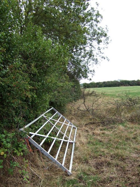
Hedge, gate and footpath, Clipstone - geograph.org.uk - 219518.jpg - GeographBot

Lanes, paths and bridleways junction - geograph.org.uk - 219572.jpg - GeographBot

Public Bridleway - geograph.org.uk - 217820.jpg - GeographBot

Woodland track - geograph.org.uk - 215109.jpg - GeographBot

Footpath from Dunton Lodge to Dunton - geograph.org.uk - 554362.jpg - File Upload Bot (Magnus Manske)

Footpath - geograph.org.uk - 277472.jpg - GeographBot

Path to Turvey - geograph.org.uk - 276587.jpg - GeographBot

Cycling along the Bridleway from Barton Le Clay - geograph.org.uk - 287197.jpg - GeographBot

Three Shire Bridleway and the Fir Tree Planting - geograph.org.uk - 297991.jpg - GeographBot

Footpath near Shuttleworth College - geograph.org.uk - 316412.jpg - GeographBot

Footpath Junction SW of Harrold - geograph.org.uk - 335905.jpg - GeographBot

Footpath Junction near Harrold - geograph.org.uk - 339225.jpg - GeographBot

Milton Keynes Boundary Walk (I) - geograph.org.uk - 337457.jpg - GeographBot

Milton Keynes Boundary Walk (II) - geograph.org.uk - 337461.jpg - GeographBot

Milton Keynes Boundary Walk (III) - geograph.org.uk - 337464.jpg - GeographBot

Footbridge and Gate Near Newton Bromswold - geograph.org.uk - 367145.jpg - GeographBot

Footpath from Rifle Range Farm at Yelden - geograph.org.uk - 361795.jpg - GeographBot

Footpath in woods near Apsley Heath and Woburn - geograph.org.uk - 367489.jpg - GeographBot

Footpath into woods near Longslade Cottage - geograph.org.uk - 367485.jpg - GeographBot

Path to Mermaid's Pond - geograph.org.uk - 367506.jpg - GeographBot

The Three Shire Bridleway at Rifle Range Farm, Yelden - geograph.org.uk - 361788.jpg - GeographBot

Drive to Birchmoor Farm - geograph.org.uk - 370779.jpg - GeographBot

Footpath and brick outbuildings - geograph.org.uk - 370487.jpg - GeographBot

Footpath looking north - geograph.org.uk - 371555.jpg - GeographBot

Footpath under Bedford bypass looking South - geograph.org.uk - 371549.jpg - GeographBot

Milton Keynes Boundary Walk, Aspley Woods - geograph.org.uk - 373548.jpg - GeographBot

Footpath heading north across fields - geograph.org.uk - 390838.jpg - GeographBot

Footpath - geograph.org.uk - 390294.jpg - GeographBot

"Green Lane" a green lane - geograph.org.uk - 409480.jpg - GeographBot

Footpath into Kenwood - geograph.org.uk - 401267.jpg - GeographBot

Farm buildings, Bourne End - geograph.org.uk - 474250.jpg - GeographBot

John Bunyan Trail at Hall End, Wootton - geograph.org.uk - 474342.jpg - GeographBot

John Bunyan Trail enters Wootton - geograph.org.uk - 474346.jpg - GeographBot

The Clay Way through a wheat field - geograph.org.uk - 474224.jpg - GeographBot

Footpath through the wheat field - geograph.org.uk - 494689.jpg - GeographBot

Footpath from Tetworth to Cold Arbour - geograph.org.uk - 532564.jpg - GeographBot

Footpath - geograph.org.uk - 540696.jpg - GeographBot

Bridleway from Holme to Edworth - geograph.org.uk - 554884.jpg - GeographBot

Footpath - geograph.org.uk - 720689.jpg - GeographBot

The Embankment and the River Great Ouse - geograph.org.uk - 809287.jpg - GeographBot

Ancient Path - geograph.org.uk - 1175976.jpg - GeographBot

Two way signpost - geograph.org.uk - 1294288.jpg - GeographBot

Fern edged path - geograph.org.uk - 1412880.jpg - GeographBot

Greensand Ridge Walk Waymarker.jpg - Shirokazan
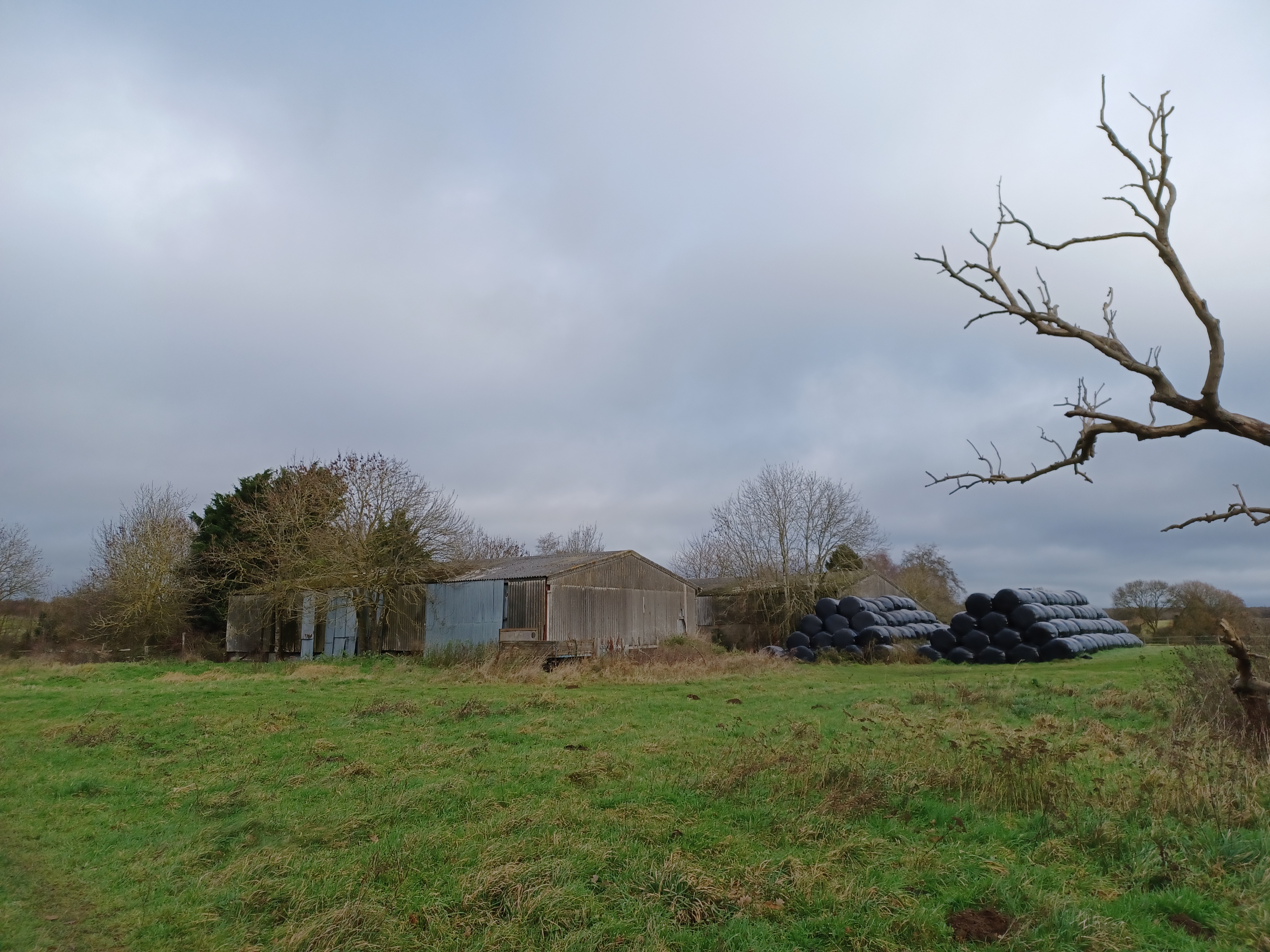
Clophill to Haynes 01.jpg - Simon Burchell

Clophill to Haynes 03.jpg - Simon Burchell

Clophill to Haynes 02.jpg - Simon Burchell

Clophill to Haynes 04.jpg - Simon Burchell

Clophill to Haynes 06.jpg - Simon Burchell

Clophill to Haynes 05.jpg - Simon Burchell

Clophill to Haynes 07.jpg - Simon Burchell

Clophill to Haynes 09.jpg - Simon Burchell

Clophill to Haynes 08.jpg - Simon Burchell

Clophill to Haynes 11.jpg - Simon Burchell

Clophill to Haynes 10.jpg - Simon Burchell

Clophill to Haynes 12.jpg - Simon Burchell

Clophill to Haynes 14.jpg - Simon Burchell

Clophill to Haynes 13.jpg - Simon Burchell

Clophill to Haynes 15.jpg - Simon Burchell

Clophill to Haynes 17.jpg - Simon Burchell

Clophill to Haynes 16.jpg - Simon Burchell

Clophill to Haynes 18.jpg - Simon Burchell
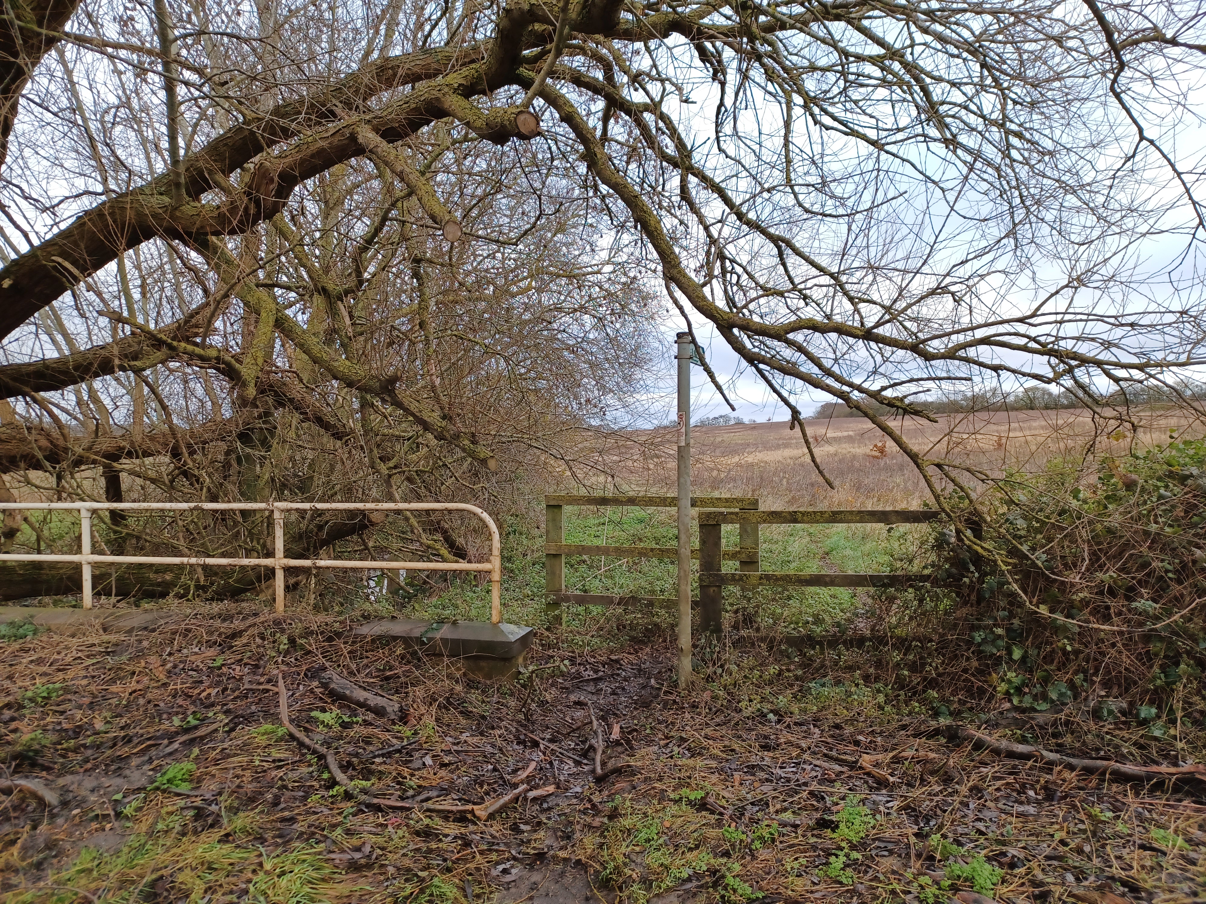
Clophill to Haynes 19.jpg - Simon Burchell

Clophill to Haynes 21.jpg - Simon Burchell

Clophill to Haynes 22.jpg - Simon Burchell
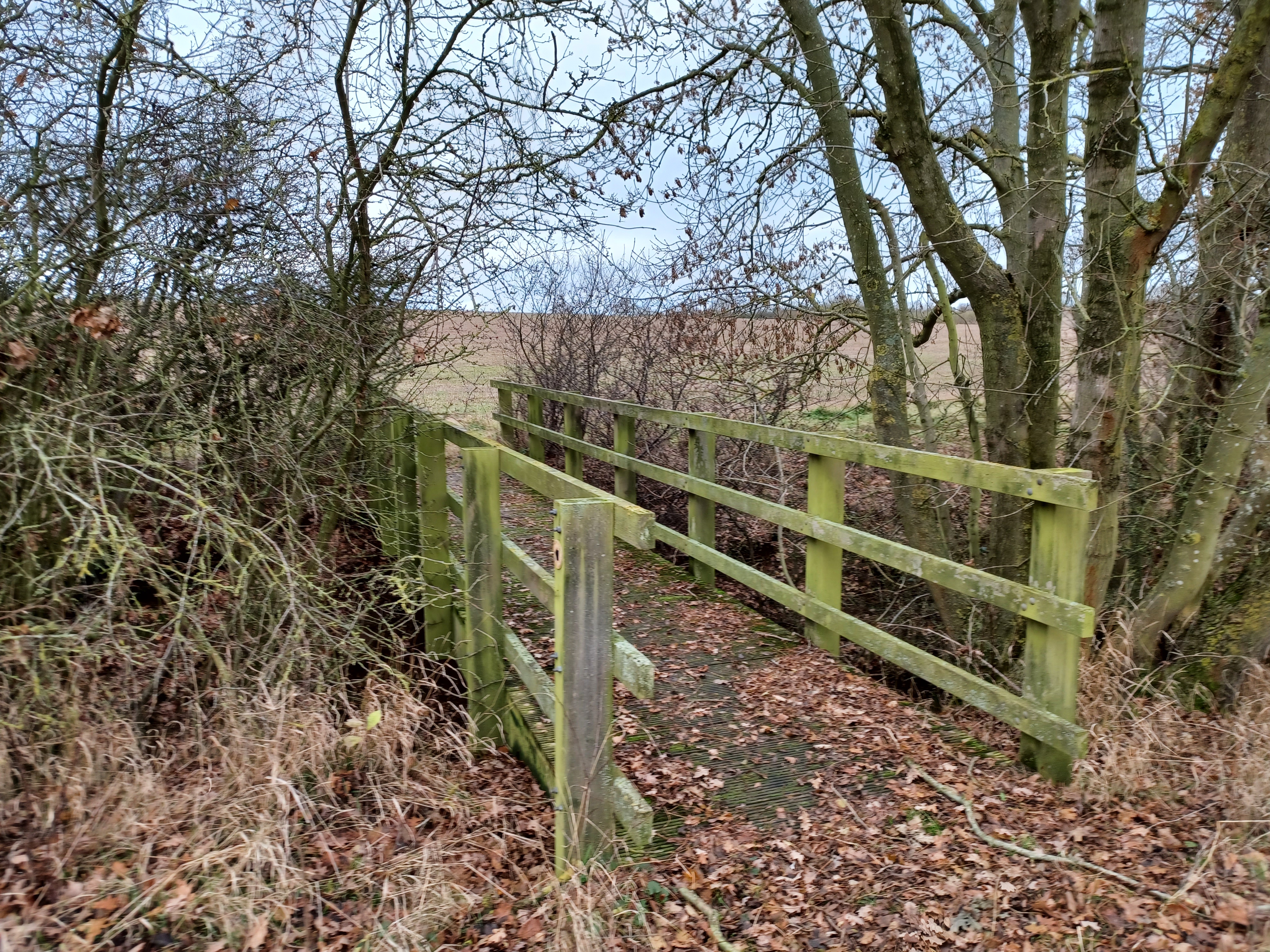
Clophill to Haynes 23.jpg - Simon Burchell

Clophill to Haynes 24.jpg - Simon Burchell

Clophill to Haynes 25.jpg - Simon Burchell

Clophill to Haynes 26.jpg - Simon Burchell
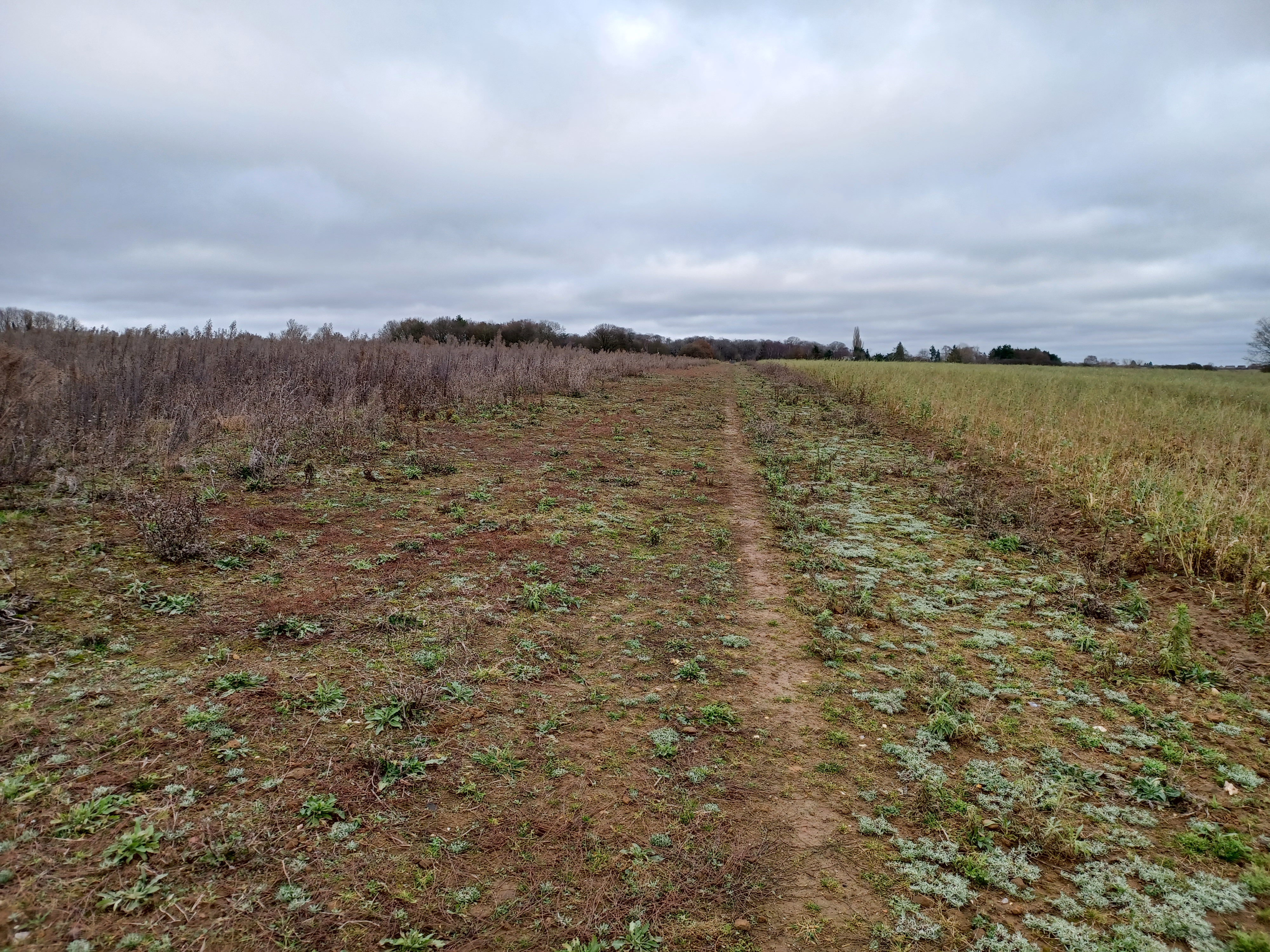
Clophill to Haynes 28.jpg - Simon Burchell
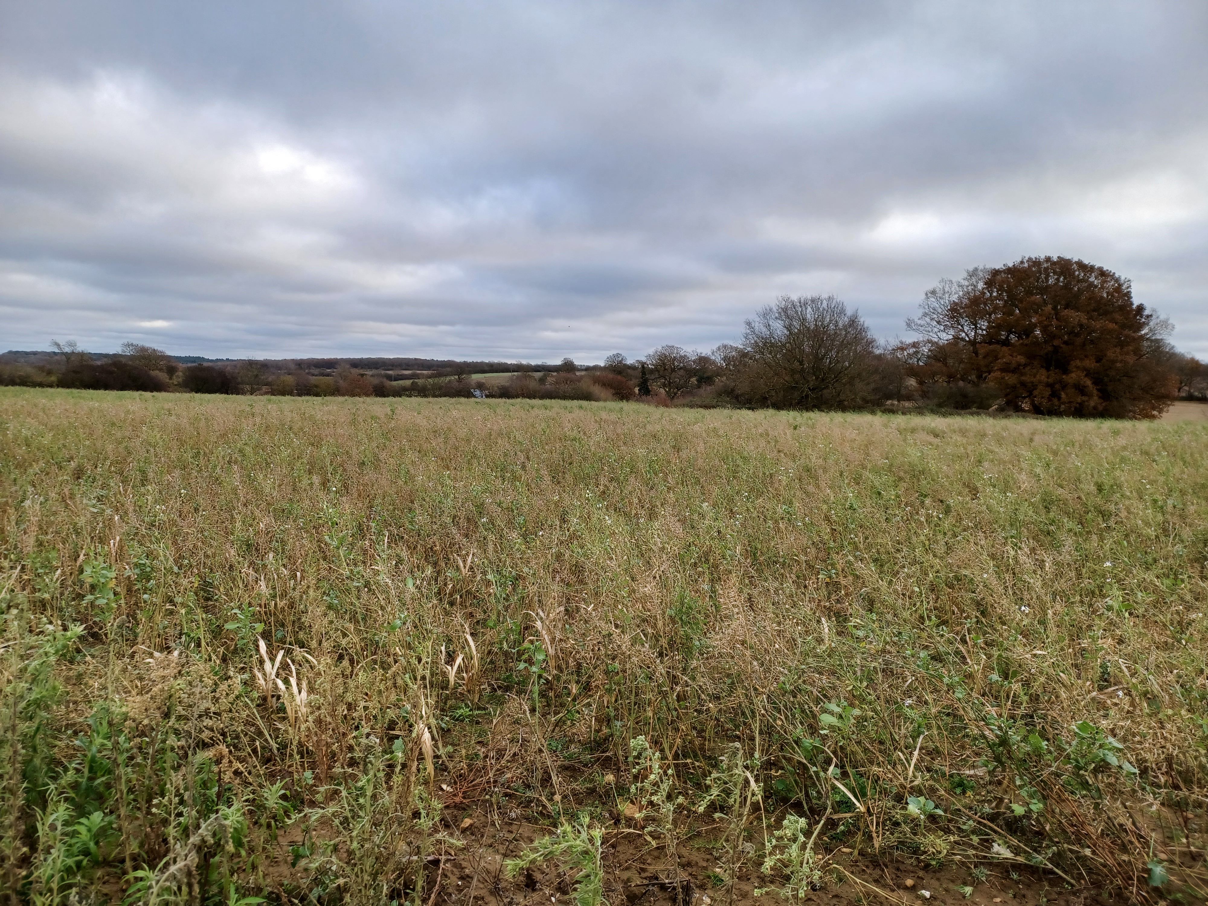
Clophill to Haynes 29.jpg - Simon Burchell

Clophill to Haynes 30.jpg - Simon Burchell

Clophill to Haynes 31.jpg - Simon Burchell

Clophill to Haynes 32.jpg - Simon Burchell

Clophill to Haynes 33.jpg - Simon Burchell
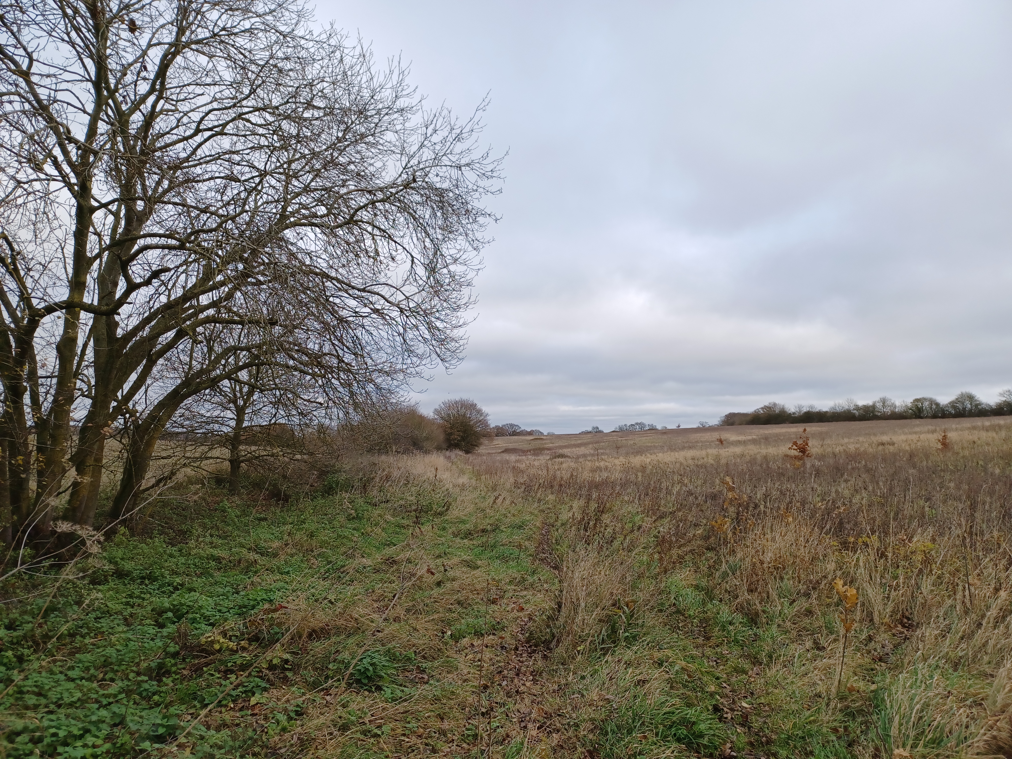
Clophill to Haynes 20.jpg - Simon Burchell

Clophill to Haynes 34.jpg - Simon Burchell

Clophill to Haynes 39.jpg - Simon Burchell

Clophill to Haynes 27.jpg - Simon Burchell

Clophill to Haynes 42.jpg - Simon Burchell

Clophill to Haynes 41.jpg - Simon Burchell

Clophill to Haynes 43.jpg - Simon Burchell

Clophill to Haynes 44.jpg - Simon Burchell

Clophill to Haynes 45.jpg - Simon Burchell

Clophill to Haynes 46.jpg - Simon Burchell

Clophill to Haynes 47.jpg - Simon Burchell

Clophill to Haynes 48.jpg - Simon Burchell

Clophill to Haynes 49.jpg - Simon Burchell

Clophill to Haynes 50.jpg - Simon Burchell

Clophill to Haynes 51.jpg - Simon Burchell

Clophill to Haynes 52.jpg - Simon Burchell

Woburn Park 21.jpg - Simon Burchell

Woburn Park 23.jpg - Simon Burchell

Woburn Park 22.jpg - Simon Burchell

Woburn Park 24.jpg - Simon Burchell

Woburn Park 25.jpg - Simon Burchell

Woburn Park 27.jpg - Simon Burchell

Woburn Park 32.jpg - Simon Burchell
❮
❯


