Wikimedi'Òc
Modes d'emploi

Cet album fait partie des albums
Cet album photos contient les sous-albums suivants :


Aspen trees 1.jpg - Dschwen

Pappel Wonfurt, 1.jpg - Rainer Lippert
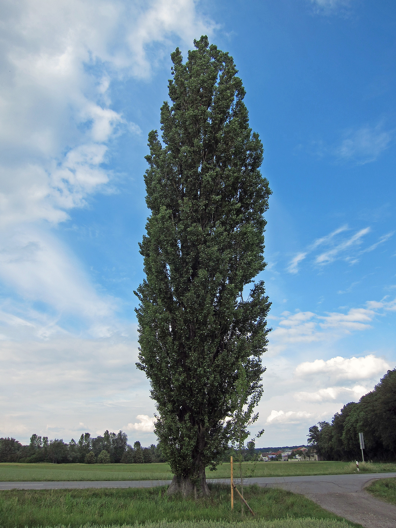
Pappel Wonfurt, 2.jpg - Rainer Lippert

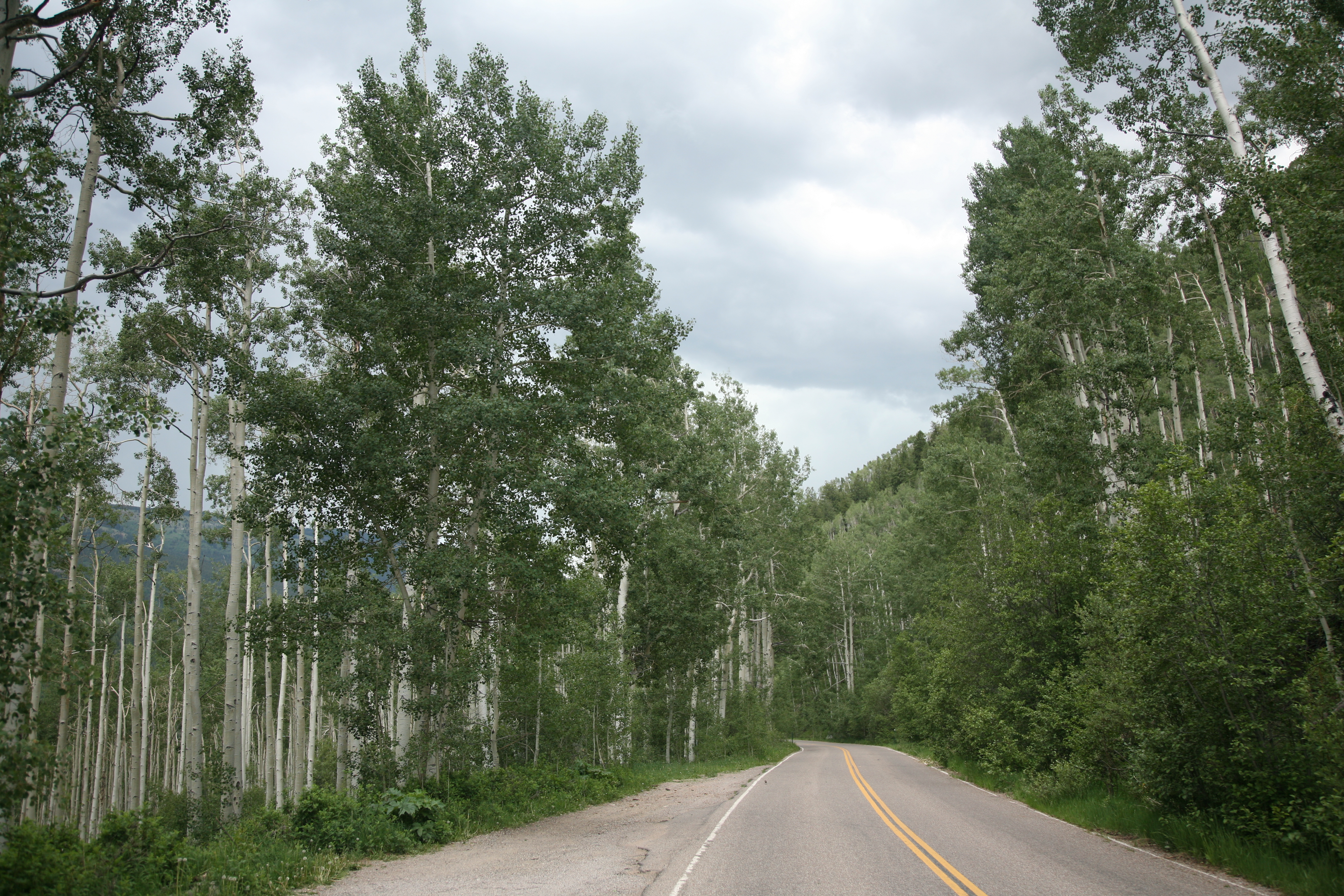
2013-06-28 10 38 16 View north along Elko County Route 748 (Charleston-Jarbidge Road) in Copper Basin in Nevada.jpg - Famartin

Aspen stand along Abineau Bearjaw Trail (7352005710).jpg - File Upload Bot (Magnus Manske)

2014-06-17 09 29 13 Snow in June along the upper portion of Lamoille Canyon Road in Lamoille Canyon, Nevada.jpg - Famartin

2014-06-23 14 27 47 View down Lamoille Canyon from the upper reaches of Lamoille Canyon Road.JPG - Famartin

2014-06-23 14 36 09 View along the Changing Canyon Nature Trail in Lamoille Canyon, Nevada.JPG - Famartin

2014-06-23 14 36 23 View of Thomas Peak from the Changing Canyon Nature Trail in Lamoille Canyon, Nevada.JPG - Famartin

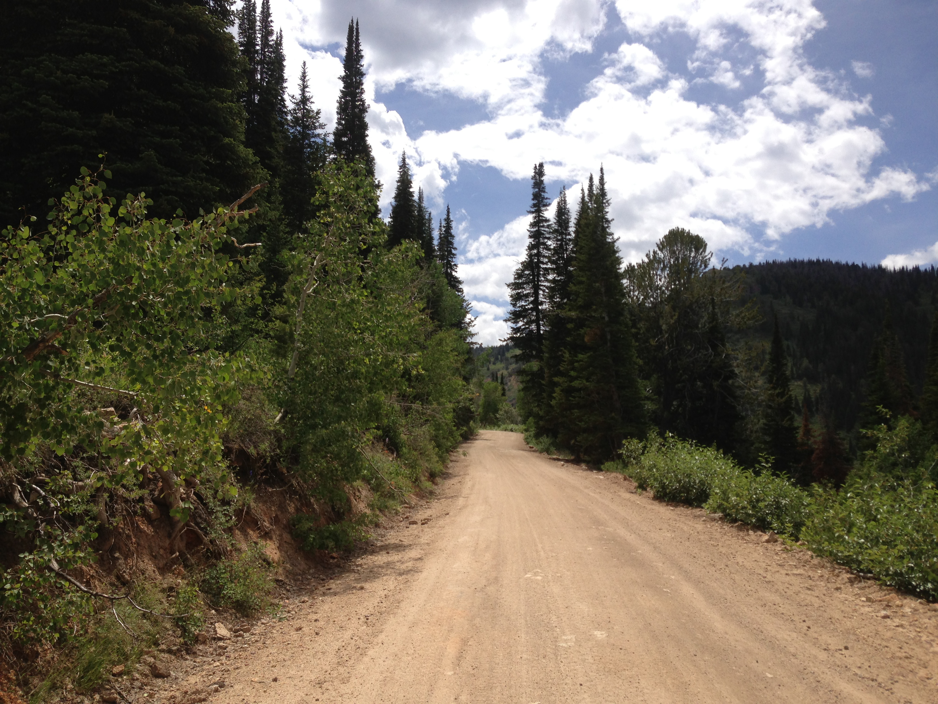
2014-06-24 12 41 34 View north along Elko County Route 748 (Charleston-Jarbidge Road) about 12.5 miles north of Charleston, Nevada.jpg - Famartin

2014-06-24 12 46 47 View southwest towards Coon Creek Summit and the Copper Mountains from Elko County Route 748 (Charleston-Jarbidge Road).JPG - Famartin

2014-06-24 12 44 24 View north along Elko County Route 748 (Charleston-Jarbidge Road) about 12.9 miles north of Charleston, Nevada.jpg - Famartin

2014-06-24 12 46 50 View west towards the Copper Mountains from Elko County Route 748 (Charleston-Jarbidge Road).JPG - Famartin

2014-06-24 12 48 08 View southwest towards Coon Creek Summit and the Copper Mountains from Elko County Route 748 (Charleston-Jarbidge Road) between Coon Creek Summit and Bear Creek Summit.JPG - Famartin

2014-06-24 12 46 54 View west-northwest towards the Copper Mountains from Elko County Route 748 (Charleston-Jarbidge Road) between Coon Creek Summit and Bear Creek Summit.JPG - Famartin

2014-06-24 12 53 00 View north down the valley of Coon Creek from Elko County Route 748 (Charleston-Jarbidge Road) between Coon Creek Summit and Bear Creek Summit.JPG - Famartin

2014-06-24 12 53 13 View north along Elko County Route 748 (Charleston-Jarbidge Road) about 14.2 miles north of Charleston, Nevada.jpg - Famartin

2014-06-24 13 00 05 View north along Elko County Route 748 (Charleston-Jarbidge Road) about 15.3 miles north of Charleston, Nevada.jpg - Famartin

2014-06-24 13 00 11 View north along Elko County Route 748 (Charleston-Jarbidge Road) about 15.3 miles north of Charleston, Nevada.jpg - Famartin
2014-06-24 13 53 57 View south along Elko County Route 748 (Charleston-Jarbidge Road) about 18.0 miles north of Charleston, Nevada.jpg - Famartin

2014-06-24 13 58 20 View south along Elko County Route 748 (Charleston-Jarbidge Road) about 17.5 miles north of Charleston, Nevada.jpg - Famartin

2014-06-24 14 03 36 View south along Elko County Route 748 (Charleston-Jarbidge Road) about 16.4 miles north of Charleston, Nevada.jpg - Famartin

2014-06-24 14 04 56 View north along Elko County Route 748 (Charleston-Jarbidge Road) about 16.3 miles north of Charleston, Nevada.jpg - Famartin

2014-06-24 14 06 56 View south along Elko County Route 748 (Charleston-Jarbidge Road) about 16.1 miles north of Charleston, Nevada.jpg - Famartin

2014-06-24 14 18 11 View south along Elko County Route 748 (Charleston-Jarbidge Road) about 14.2 miles north of Charleston, Nevada.jpg - Famartin

2014-06-24 14 18 21 View northwest down Coon Creek Valley from Elko County Route 748 (Charleston-Jarbidge Road) about 20.6 miles north of Charleston Reservoir between Bear Creek Summit and Coon Creek Summit, Nevada.JPG - Famartin

2014-06-24 14 19 52 View north down Coon Creek Valley from Elko County Route 748 (Charleston-Jarbidge Road) about 20.3 miles north of Charleston Reservoir between Bear Creek Summit and Coon Creek Summit, Nevada.JPG - Famartin

2014-06-24 14 24 23 View south along Elko County Route 748 (Charleston-Jarbidge Road) about 13.5 miles north of Charleston, Nevada.jpg - Famartin

2014-06-24 14 25 35 View west-southwest towards the Copper Mountains from Elko County Route 748 (Charleston-Jarbidge Road) about 12.6 miles north of Charleston, Nevada.jpg - Famartin

2014-06-24 14 28 58 View south along Elko County Route 748 (Charleston-Jarbidge Road) about 12.7 miles north of Charleston, Nevada.jpg - Famartin

2014-06-24 14 25 30 View southwest toward the Copper Mountains from Elko County Route 748 (Charleston-Jarbidge Road) between Bear Creek Summit and Coon Creek Summit, Nevada.JPG - Famartin

2014-06-24 14 24 14 View southwest toward the Copper Mountains from Elko County Route 748 (Charleston-Jarbidge Road) between Bear Creek Summit and Coon Creek Summit, Nevada.JPG - Famartin

2014-06-24 14 16 33 View southwest toward the Copper Mountains from Elko County Route 748 (Charleston-Jarbidge Road) between Bear Creek Summit and Coon Creek Summit, Nevada.JPG - Famartin

White poplars, Saimbeyli.jpg - Zcebeci

Pappel Brandenburger Theater.jpg - Nilaxus

Grau-Pappel, Klostergarten, 2024 Bakonybél.jpg - Globetrotter19

Populus sp. in Torbiere del Sebino - CO2v01-25380685.jpg - CosyCobra

Populus sp. in Torbiere del Sebino - CO2v01-25269036.jpg - CosyCobra

Populus sp. in Torbiere del Sebino - CO2v01-25184651.jpg - CosyCobra