Wikimedi'Òc
Modes d'emploi

Cet album fait partie des albums
Cet album photos contient les sous-albums suivants :


Nathan Dickerson Poole House.JPG - Farragutful

Valhalla HABS MD1.jpg - Acroterion
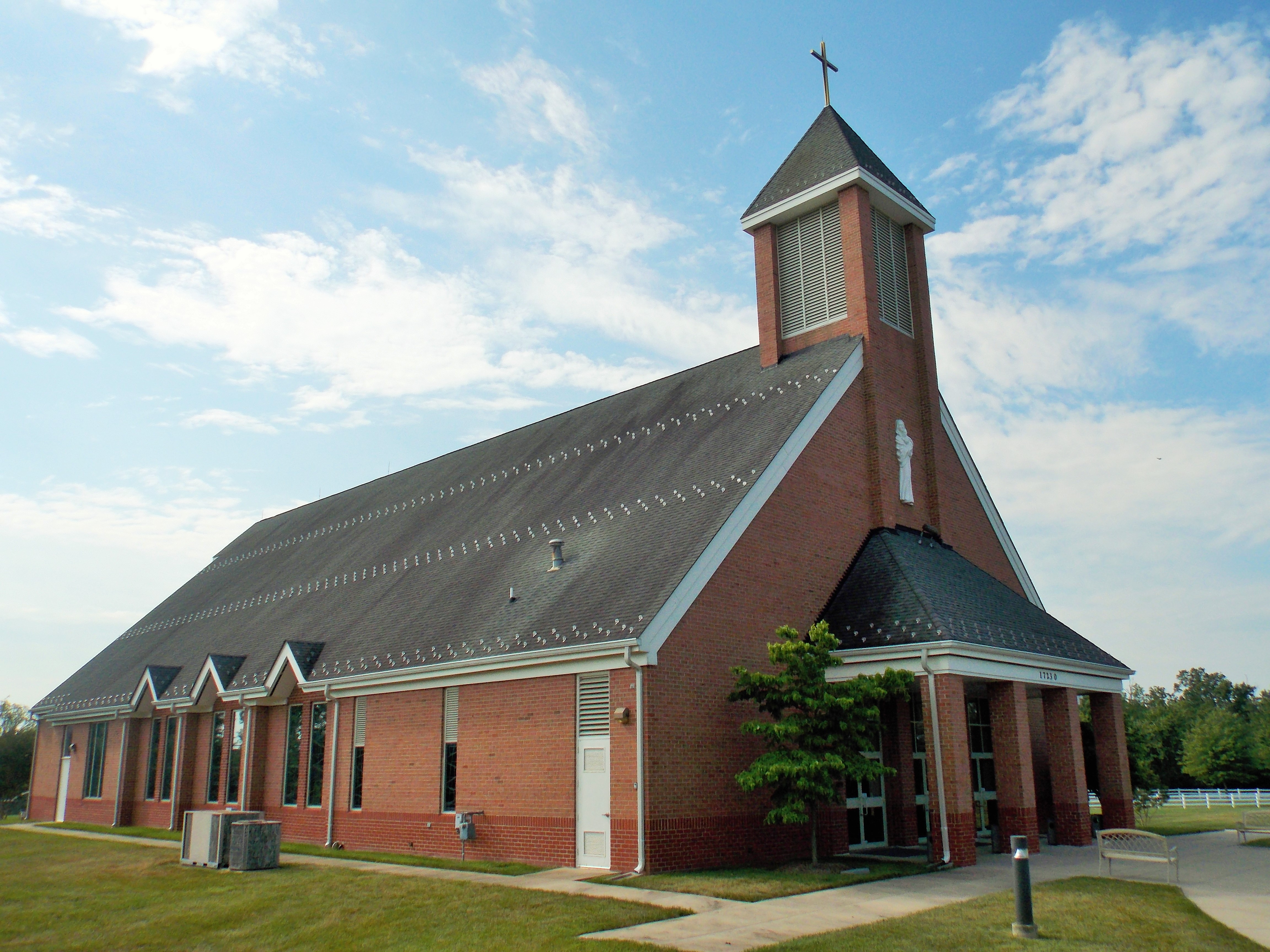
Our Lady of the Presentation Church (Poolesville, Maryland).JPG - Farragutful
Historic American Buildings Survey John O. Brostrup, Photographer September 3, 1936 2-05 P. M. VIEW FROM NORTHWEST (front) - Dr. Sprig Poole House, Poolesville, Montgomery County, HABS MD,16-POOV,2-6.tif - Fæ
Historic American Buildings Survey John O. Brostrup, Photographer October 19, 1936 10-45 A. M. VIEW FROM THE EAST (front) - Little Oak Manor, 21524 Whites Ferry Road (State Route HABS MD,16-POOV.V,3-1.tif - Fæ
Historic American Buildings Survey John O. Brostrup, Photographer October 19, 1936 4-05 P. M. VIEW FROM NORTH (front) - Stone House, 107 Fisher Avenue, Poolesville, Montgomery HABS MD,16-POOV,8-1.tif - Fæ
Historic American Buildings Survey John O. Brostrup, Photographer September 3, 1936 2-10 P. M. VIEW FROM NORTHWEST (front) - Richard Poole House, Poolesville, Montgomery County, MD HABS MD,16-POOV,6-1.tif - Fæ
Historic American Buildings Survey John O. Brostrup, Photographer October 19, 1936 10-35 A. M. VIEW FROM SOUTHEAST. - Little Oak Manor, 21524 Whites Ferry Road (State Route 107), HABS MD,16-POOV.V,3-2.tif - Fæ
Historic American Buildings Survey Delos H. Smith, Photographer 1936 - Main Street (Houses), Fisher Avenue and Jerusalem Road (State Route 109), Poolesville, Montgomery County, MD HABS MD,16-POOV,4-1.tif - Fæ
Historic American Buildings Survey John O. Brostrup, Photographer October 19, 1936 3-50 P. M. VIEW FROM SOUTHWEST (front) - Dr. Milford House, 17610 Cattail Road, Poolesville, HABS MD,16-POOV,5-1.tif - Fæ
Historic American Buildings Survey John O. Brostrup, Photographer October 19, 1936 9-45 A. M. GENERAL VIEW OF HOUSE, KITCHEN AND DAIRY FROM NORTHEAST (front) - Stone House, 107 HABS MD,16-POOV,8-2.tif - Fæ
Historic American Buildings Survey Delos H. Smith, Photographer 1936 - Stoney Castle, State Route 109 Vicinity, Poolesville, Montgomery County, MD HABS MD,16-POOV,3-1.tif - Fæ

The photographic history of the Civil War - thousands of scenes photographed 1861-65, with text by many special authorities (1911) (14760531334).jpg - Fæ

Sandstone Quarry Seneca Fig 2 Plate XXVIII WBClark 1898.jpg - FastilyClone

John Poole House, front (21616190732).jpg - Ser Amantio di Nicolao

John Poole House, front (21004796794).jpg - Ser Amantio di Nicolao

St. Paul Community Church, front (21627679065).jpg - Ser Amantio di Nicolao

St. Paul Community Church, Gwendora Hebron-Reese (21439578560).jpg - Ser Amantio di Nicolao

Standing water in a cornfield, Poolesville, Maryland.jpg - Vanished Account Byeznhpyxeuztibuo

Poolesville High track team on C and O Canal Towpath. Poolesville, 2008 MD. Credit USEPA (14616911003).jpg - Vanished Account Byeznhpyxeuztibuo

Taking advantage of a fine fall afternoon. 2005, C&O Canal Towpath, Poolesville, MD. Credit USEPA (14410254839).jpg - Vanished Account Byeznhpyxeuztibuo

Apple orchard in spring bloom. Poolesville, MD, 2007 USEPA Photo by Eric Vance (13765604683).jpg - Vanished Account Byeznhpyxeuztibuo

Annington House.jpg - Bronson87

Poolesville, United States (Unsplash).jpg - Fæ

Windy Goose Creek Trail - Lavender Fantasy HDR (20270070011).jpg - OceanAtoll
Atlas of fifteen miles around Washington, including the County of Prince George, Maryland LOC 76354156-21.tif - Fæ

Atlas of fifteen miles around Washington, including the County of Prince George, Maryland LOC 76354156-21.jpg - Fæ

Atlas of fifteen miles around Washington, including the county of Montgomery, Maryland LOC 87675339-21.jpg - Fæ

Poolesville High School.jpg - Fuzheado

Poolesville-Darnestown-Rockville MD 1841.png - TwoScarsUp

C&O Canal in Poolesville, Maryland (40f45a1b-3248-4c04-b913-d1d0b59e72ab).jpg - BMacZeroBot

Poolesville High School circa 1912.png - Bpmcneilly