Wikimedi'Òc
Modes d'emploi

Cet album fait partie des albums
Cet album photos contient les sous-albums suivants :


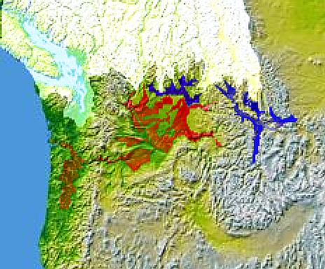
Wpdms nasa topo missoula floods.jpg - Mattes
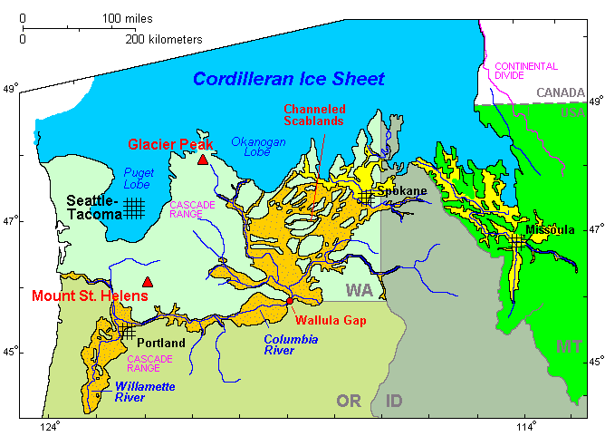
Map missoula floods.gif - Peteforsyth
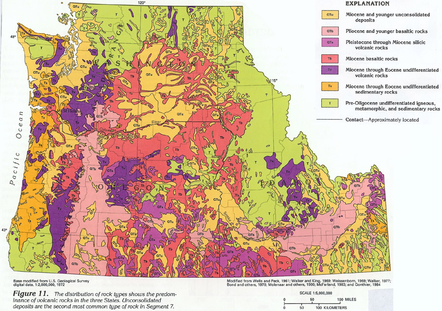
Map of Washington, Oregon and Idaho geological deposits.jpeg - CommonsHelper2 Bot

Bulletin of the Geological Society of America (1923) (14778720801).jpg - SteinsplitterBot

Glacer maximum extent, pluvial lakes, Missoula Flood deposits, and glacial-maximum shoreline (estimated) in Oregon.png - Answer.to.the.rock