Wikimedi'Òc
Modes d'emploi

Cet album fait partie des albums
Cet album photos contient les sous-albums suivants :


RAF Observation Post Bunker.jpg - Ingolfson

Bethel CM Chapel Pembrey - geograph.org.uk - 66505.jpg - GeographBot

Pembrey Road Racing - geograph.org.uk - 43141.jpg - GeographBot

Sands at Pembrey - geograph.org.uk - 82439.jpg - GeographBot
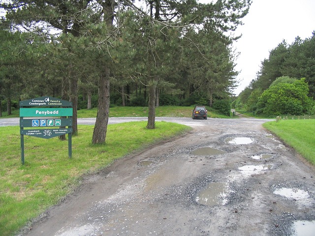
Entrance to Penybedd forest, Pembrey - geograph.org.uk - 176599.jpg - GeographBot

Start of Saint Illtyd's Walk - geograph.org.uk - 176603.jpg - GeographBot
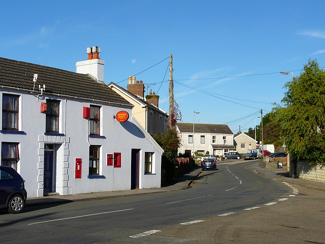
Pembrey village.jpg - File Upload Bot (Magnus Manske)

Hump Back Bridge - geograph.org.uk - 320696.jpg - GeographBot

Emergency Exit to Battle HQ - geograph.org.uk - 346537.jpg - GeographBot

Observation Block - geograph.org.uk - 346535.jpg - GeographBot

RAF Pembrey Battle Headquarters - geograph.org.uk - 346525.jpg - GeographBot
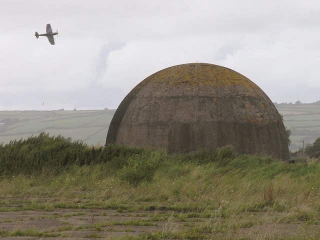
Disused RAF training facility and a Spitfire - geograph.org.uk - 507432.jpg - GeographBot

Randell Square, Pembrey - geograph.org.uk - 567390.jpg - GeographBot

Harbour remains at Pembrey - geograph.org.uk - 742153.jpg - GeographBot

Harbour remains at Pembrey - geograph.org.uk - 742157.jpg - GeographBot

Old mooring posts at Pembrey - geograph.org.uk - 742150.jpg - GeographBot

Pembrey Harbour - geograph.org.uk - 742127.jpg - GeographBot

Pembrey Harbour pierhead - geograph.org.uk - 742116.jpg - GeographBot

Pembrey Harbour pierhead - geograph.org.uk - 742119.jpg - GeographBot

Pembrey Harbour pierhead - geograph.org.uk - 742120.jpg - GeographBot

Pembrey Harbour pierhead - geograph.org.uk - 742160.jpg - GeographBot
Pierhead at Pembrey Harbour - geograph.org.uk - 742138.jpg - GeographBot
Quay at Pembrey Harbour - geograph.org.uk - 742162.jpg - GeographBot

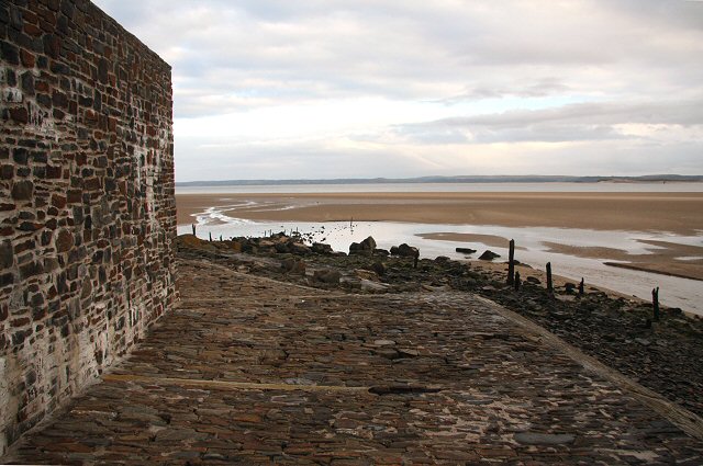
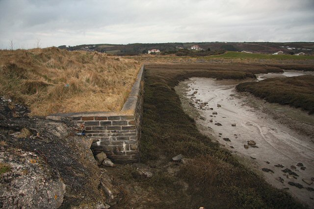
Remains of Pembrey Harbour - geograph.org.uk - 742104.jpg - GeographBot

Kissing Gate on St. Illtyd's Way - geograph.org.uk - 753650.jpg - GeographBot

The start of St. Illtyd's Walk - geograph.org.uk - 1653441.jpg - GeographBot

Ski slope, Pembrey - geograph.org.uk - 1733323.jpg - GeographBot

Head stone of Lt. Col. Coqueline and his daughter, who lost their lives by the wreck of the ship "Le Jeune Emma".jpg - Vouliagmeni

Childrens swings, Pembrey (geograph 5702692).jpg - Junior Jumper

Pembrey Country Inn, Randell Square, Pembrey - geograph.org.uk - 5701227.jpg - Salen9

Mostly pink Red Lion Inn, Pembrey - geograph.org.uk - 5701234.jpg - Salen9

BT telecoms cabinet near the Ship Aground Inn, Pembrey - geograph.org.uk - 5702807.jpg - Salen9

Pembrey Library - geograph.org.uk - 5702632.jpg - Salen9

Ashburnham Hotel, Pembrey - geograph.org.uk - 5708438.jpg - Salen9
Water Voles at Cynrig-Llygod Dwr yn Cynrig.webm - Llywelyn2000

Daisy’s Little Coffee Shop (geograph 6938714).jpg - Salen9
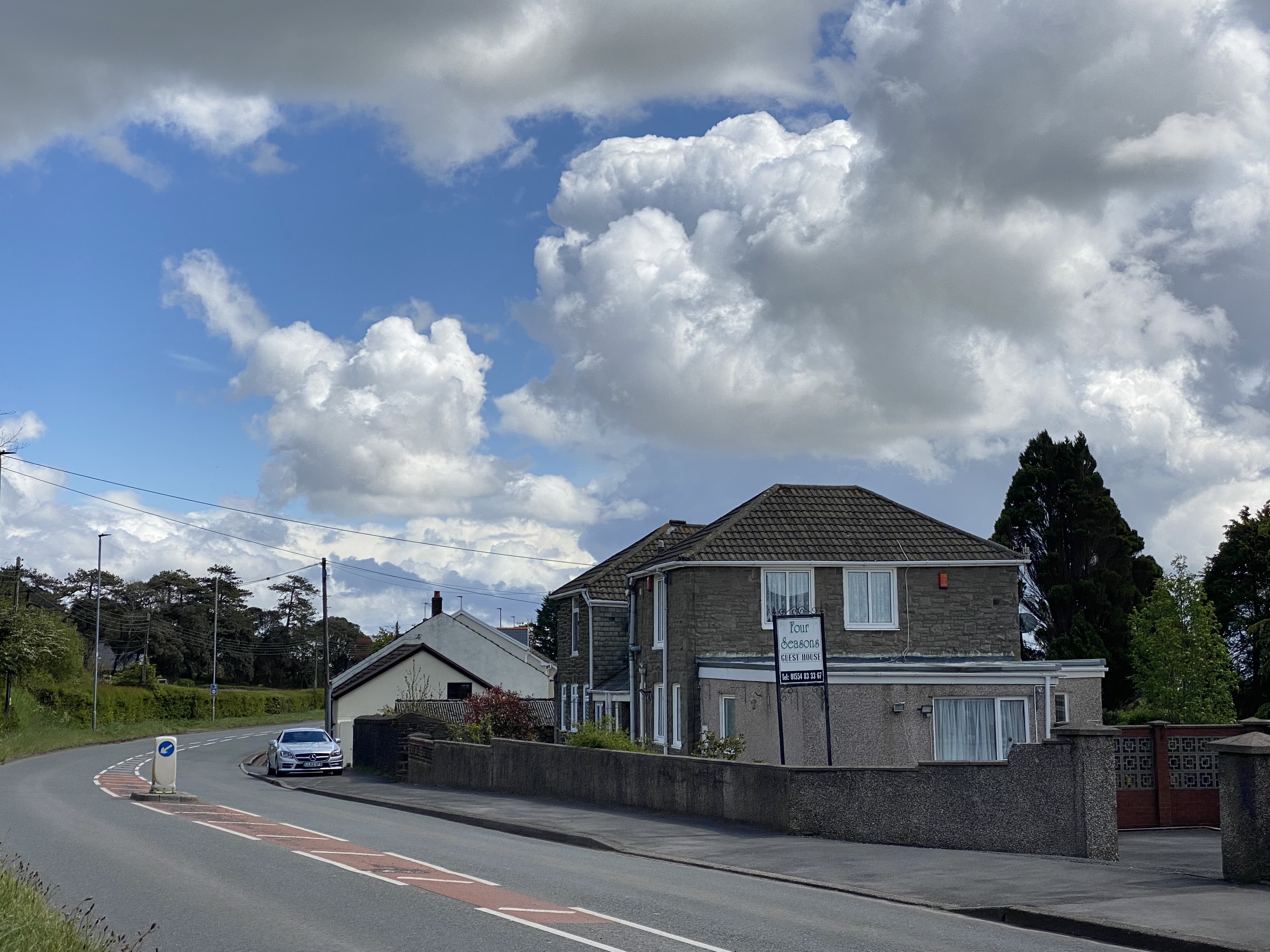
Four Seasons (geograph 6830351).jpg - Salen9
Sands of LIFE - Wales Nature Week Twyni Byw - Wythnos Natur Cymru.webm - Llywelyn2000

Burry Road houses, Pembrey - geograph.org.uk - 3618292.jpg - GeographBot

Swirling waters at low tide - geograph.org.uk - 5416545.jpg - GeographBot

Llwybr Arfordir Cymru - Wales Coast Path (geograph 7594046).jpg - Salen9

Red Lion Inn, Randell Square, Pembrey - geograph.org.uk - 5701214.jpg - GeographBot

Adeline Guest House, 5 Randell Square, Pembrey - geograph.org.uk - 5701271.jpg - GeographBot

Pembrey Post Office - geograph.org.uk - 5701308.jpg - GeographBot

Disused stamp machines in the wall of Pembrey Post Office - geograph.org.uk - 5701318.jpg - GeographBot

Ashburnham Road semis, Pembrey - geograph.org.uk - 5702741.jpg - GeographBot

Penbre-Pembrey boundary sign, Gwscwm Road - geograph.org.uk - 5711994.jpg - GeographBot

My-Motor.Net in Pembrey - geograph.org.uk - 5756346.jpg - GeographBot

Pedestrian refuge, Dan Lan Road, Pembrey - geograph.org.uk - 5756366.jpg - GeographBot

Old Milestone by the A484, Dan Lan Road, Pembrey - geograph.org.uk - 6098365.jpg - GeographBot

Red Lion - geograph.org.uk - 6170887.jpg - GeographBot