Wikimedi'Òc
Modes d'emploi

Cet album fait partie des albums
Cet album photos contient les sous-albums suivants :


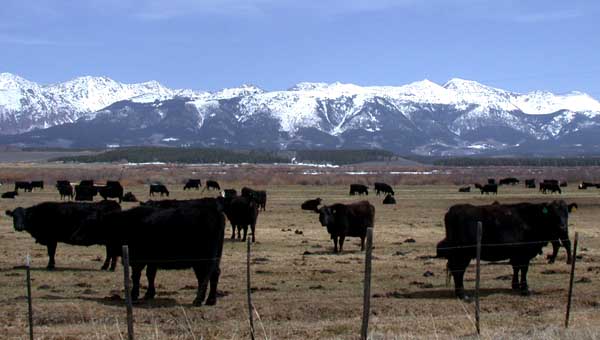
DSCN2549 beevesnearwalden 600.jpg - Decumanus~commonswiki

DSCN2568 curiousbeeveinwalden 600.jpg - Decumanus~commonswiki

DSCN2577 rabbitearsnearmuddypass 600.jpg - Decumanus~commonswiki

Mt. Zirkel.JPG - TomKonrad

Montgomery Pass Trail (6149074608).jpg - Fæ

Montgomery Pass Trail (6149078058).jpg - Fæ
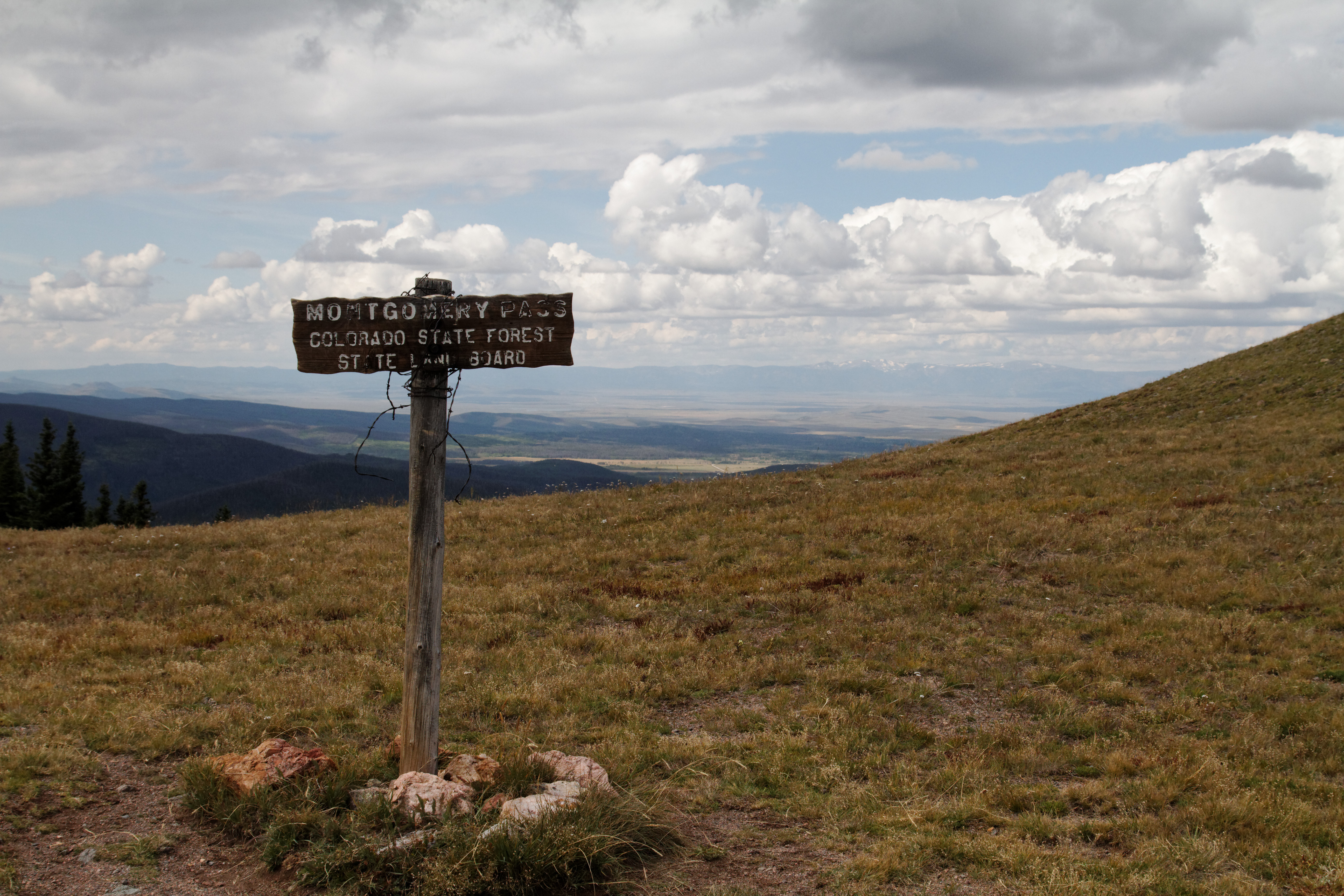
Montgomery Pass Trail (6148527551).jpg - Fæ

USGS North Park Basin geologic map.png - Pi3.124
Antelope-Park Range G-E-M resources area (GRA no. NV-12) - technical report (WSAs NV 040-154 and 060-231-241) - final report (IA antelopeparkrang00unit).pdf - Fæ

2022-03-24 18 29 30 UTC minus 6 View north and down from an airplane along the Park Range in eastern Routt County, southwestern Jackson County and northwestern Grand County, Colorado, with U.S. Route 40 visible in the foreground.jpg - Famartin
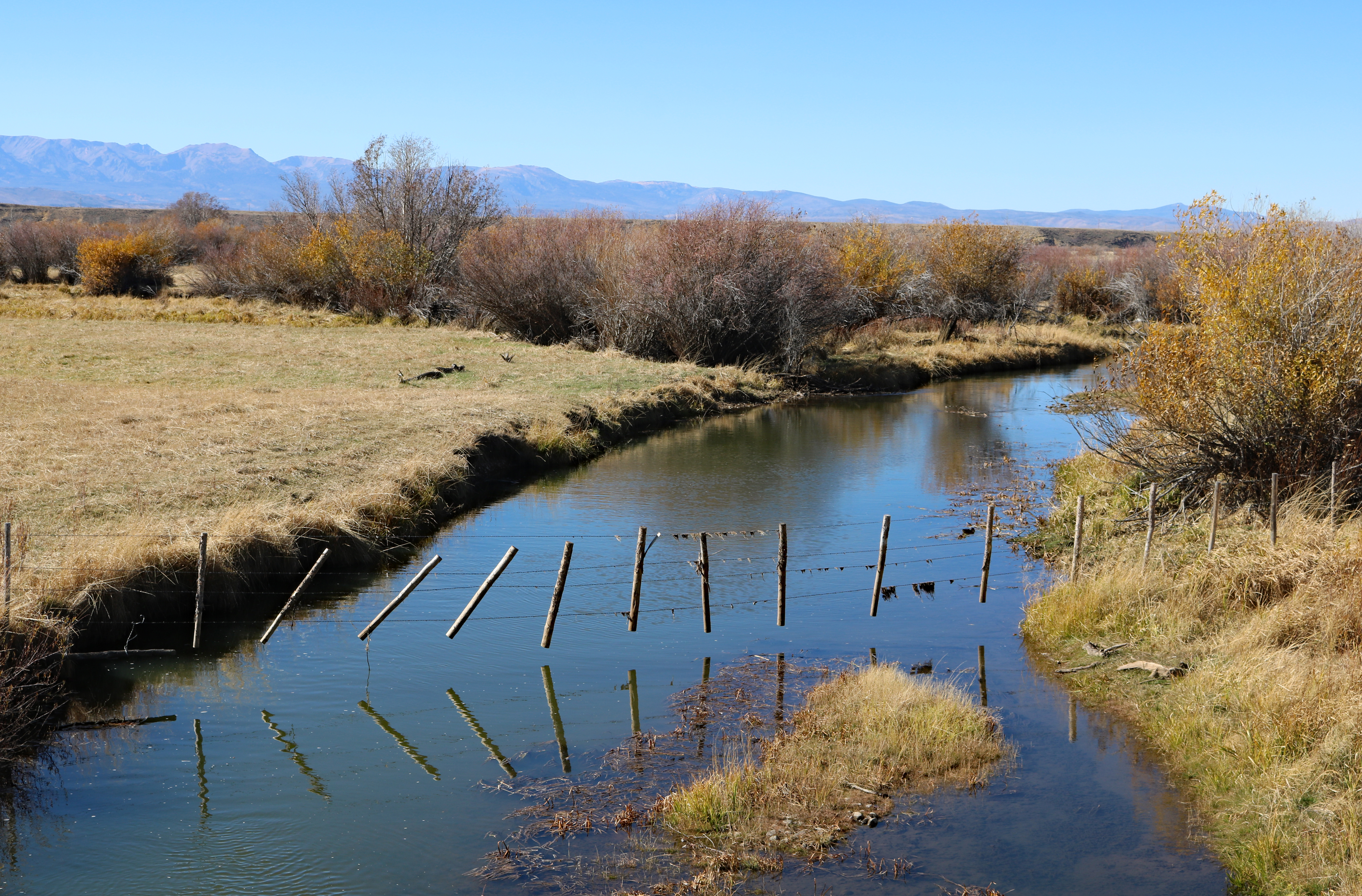
Michigan River.JPG - Jeffrey Beall