Wikimedi'Òc
Modes d'emploi

Cet album fait partie des albums
Cet album photos contient les sous-albums suivants :


LIRR 1891 Ozone Park station.jpg - NE2

RBB arcade 103 Av jeh.JPG - Jim.henderson

1873 Beers Map of Jamaica, Queens, New York City - Geographicus - Jamaica-beers-1873.jpg - BotMultichill

NYPD 106th Precinct Ford Wagon.jpg - Youngking11

NYPD 106th Precinct Wagon.jpg - Youngking11

Tudor Malls Sign.JPG - Youngking11

Custom Dodge Charger.JPG - Youngking11

BMW 645.JPG - Youngking11
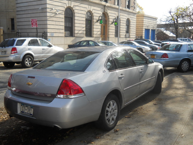
NYPD Unmarked Impala.JPG - Youngking11

102nd Avenue in Ozone Park.JPG - Youngking11

NYPD Ford Fusion.JPG - Youngking11

133rd Avenue in Ozone Park.JPG - Youngking11
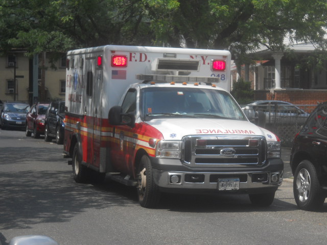
FDNY Ambulance 048.JPG - Youngking11

FDNY Ambulance 048 01.JPG - Youngking11

FDNY Ambulance 048 02.JPG - Youngking11

FDNY Ambulance 048 Rear View.JPG - Youngking11

Ozone Park Alley.JPG - Youngking11
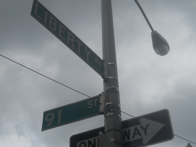
Liberty Avenue & 91st Street.JPG - Youngking11

Cross Bay Boulevard & Sutter Avenue.jpg - DanTD

Cross Bay Boulevard 048.jpg - DanTD
Queens, V. 1, Double Page Plate No. 17; Part of Jamaica, Ward 4; (Map bounded by Liberty Ave., Rockaway Tpk., Three Mile Mill Rd., Jamaica Bay, Spring Creek) NYPL1954488.tiff - Fæ

OzonePark-Welcome-sign.JPG - Deadstar
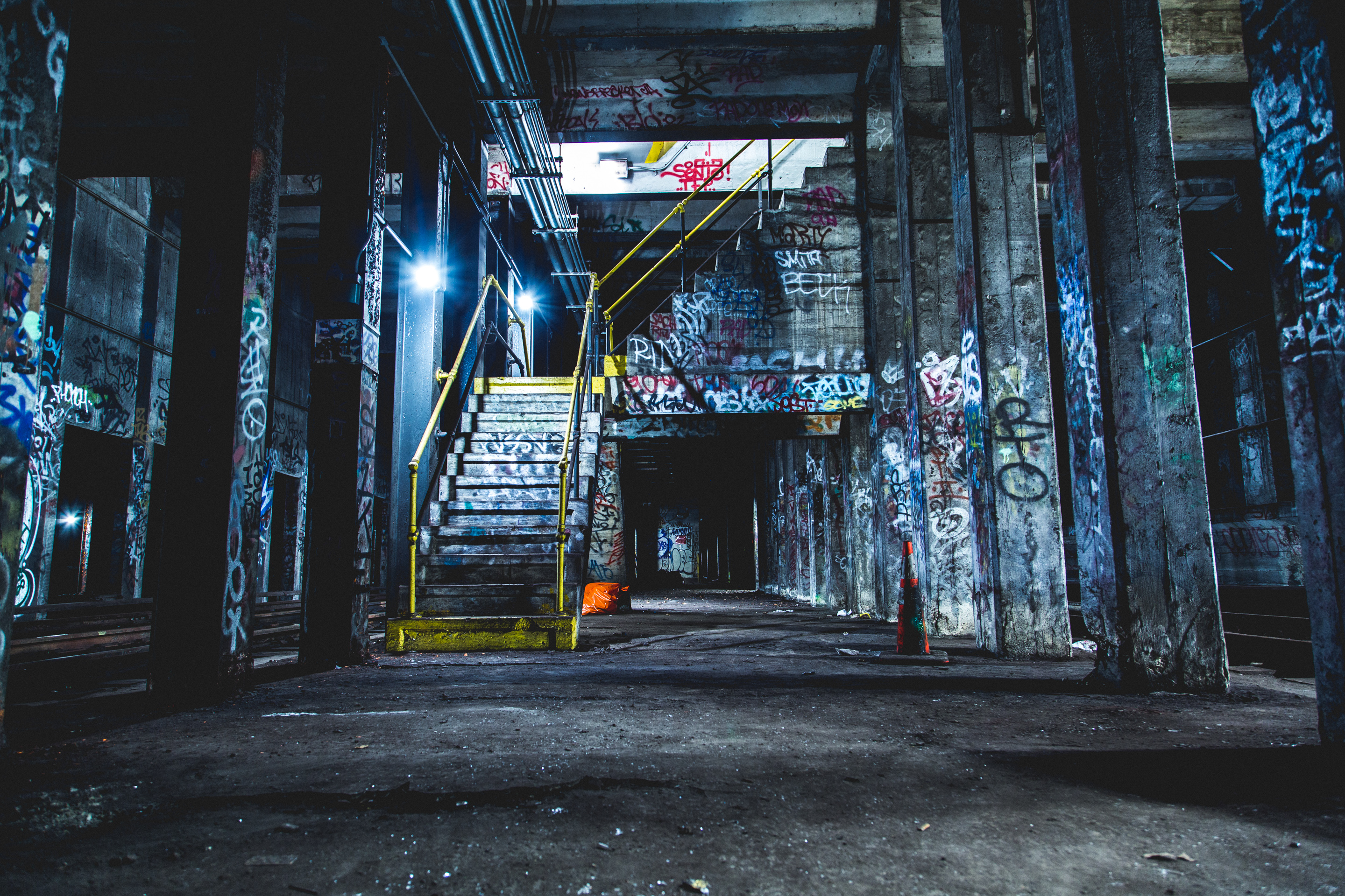
NYC abandoned staircase vc.jpg - Vcohen

1950 Census Enumeration District Maps - New York (NY) - Queens County - Queens - ED 41-1 to 2176 - NARA - 24519584 (page 10).jpg - US National Archives bot

Abandoned LIRR trackage at 101av and 99th st.jpg - Bonnachoven

Bimbo truck, Pathmark, Ozone Park, New York.jpg - The New Foxy