Wikimedi'Òc
Modes d'emploi

Cet album fait partie des albums


TPT Jungle^ - geograph.org.uk - 2468217.jpg - GeographBot

Sowerby Bridge FP140 (Green lane) Link D - geograph.org.uk - 4610807.jpg - GeographBot

Footpath blocked by vegetation at Long Royd, Sowerby - geograph.org.uk - 4610820.jpg - GeographBot

Diverted footpath at Long Royd, Sowerby - geograph.org.uk - 4610838.jpg - GeographBot

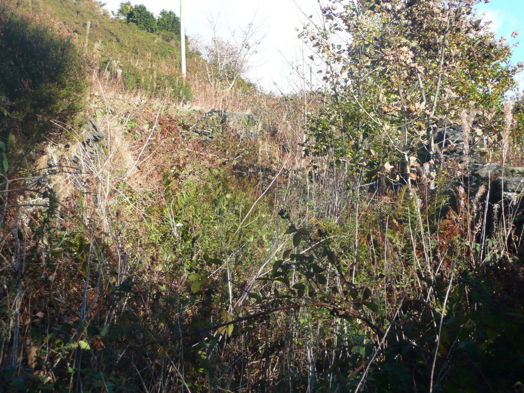
Overgrown footpath at Bilberry Hall Farm - geograph.org.uk - 4624580.jpg - GeographBot

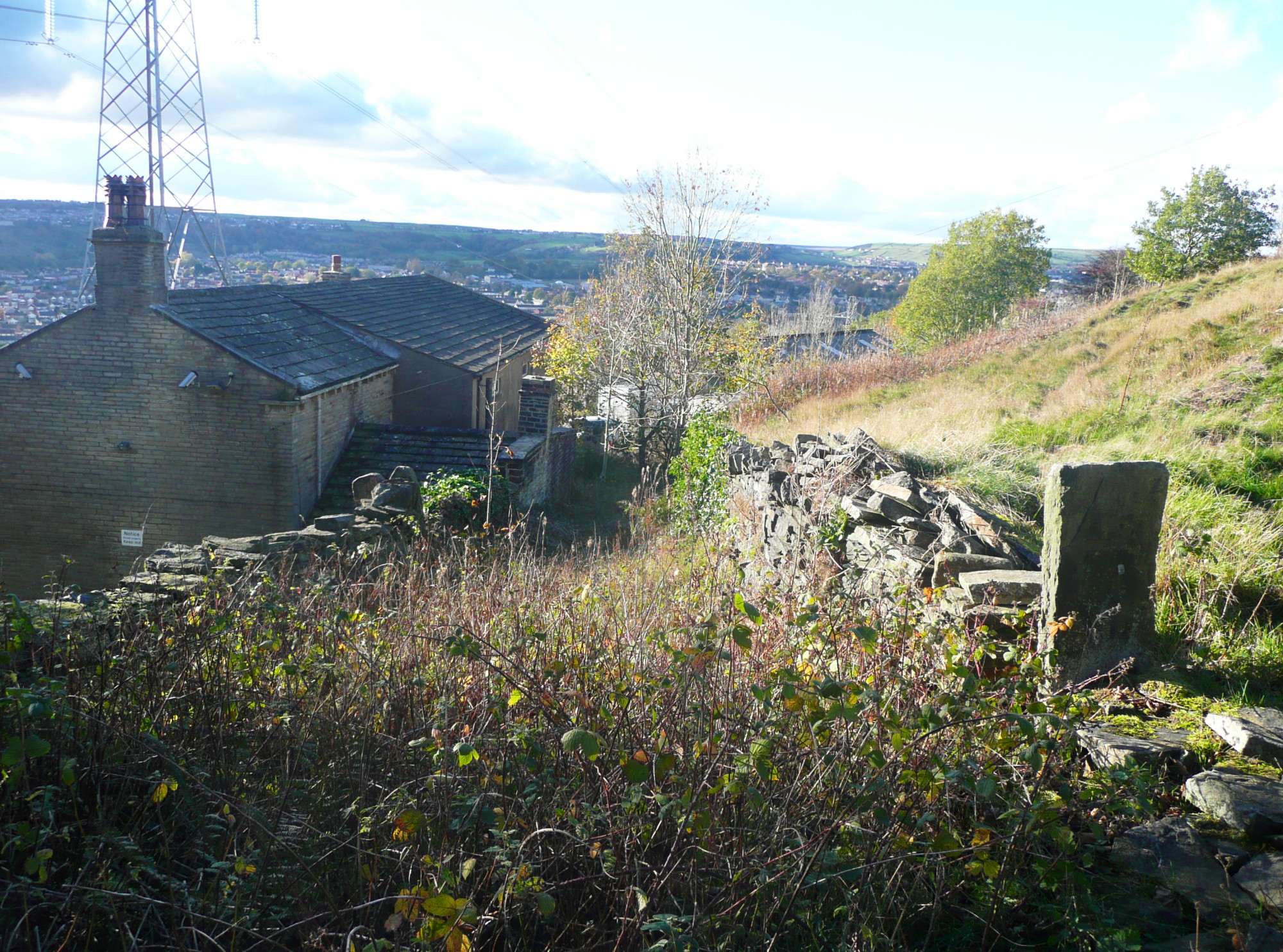
Overgrown public footpath at Spring Hill - geograph.org.uk - 4624782.jpg - GeographBot

Overgrown section of FP23, Elland - geograph.org.uk - 4653383.jpg - GeographBot

An overgrown section of Elland FP20 - geograph.org.uk - 4669095.jpg - GeographBot

Overgrown footpath behind Christ the King church - geograph.org.uk - 4679463.jpg - GeographBot

Elland FP17 passing a bramble patch - geograph.org.uk - 4693094.jpg - GeographBot

Nettles on Elland FP57, Stainland - geograph.org.uk - 4707470.jpg - GeographBot

Overgrown footpath near Spout Field Farm, Sowerby - geograph.org.uk - 4857346.jpg - GeographBot

Footpath blocked by trees near Spout Field Farm, Sowerby - geograph.org.uk - 4857352.jpg - GeographBot

Blocked footpath off Crow Hill Road, Sowerby - geograph.org.uk - 4877122.jpg - GeographBot

Footpath in an overgrown lane, Norland - geograph.org.uk - 4881253.jpg - GeographBot

Bridleway off Kennel Lane, Sowerby (2) - geograph.org.uk - 5000215.jpg - GeographBot

Footpath to Shaw's Lane via Lower Oaken Clough, Sowerby - geograph.org.uk - 5002761.jpg - GeographBot

Obstructed path, Sowerby - geograph.org.uk - 5003377.jpg - GeographBot

Overgrown section of footpath from Shibden Brook to Shibden Head, Queensbury - geograph.org.uk - 5014446.jpg - GeographBot

Overgrown footpath from Shibden Head to Shibden Brook, Queensbury - geograph.org.uk - 5014494.jpg - GeographBot

Halifax FP336 at Cowling Lane, Northowram - geograph.org.uk - 5016423.jpg - GeographBot

Overgrown path, Halifax - geograph.org.uk - 5107756.jpg - GeographBot

Overgrown stile - geograph.org.uk - 5132431.jpg - GeographBot

Halifax FP399 at Lee Lane, Northowram - geograph.org.uk - 5151387.jpg - GeographBot

Halifax FP736 - geograph.org.uk - 5396699.jpg - GeographBot

Blocked footpath at Mixenden Lodge - geograph.org.uk - 5439779.jpg - GeographBot

Overgrown part of Shibden Fold Footpath, Halifax FP739 - geograph.org.uk - 5605828.jpg - GeographBot

Overgrown path to Field Head Farm - geograph.org.uk - 5817860.jpg - GeographBot
Pule Green Lane, Boothtown, Halifax - geograph.org.uk - 5956919.jpg - GeographBot
Pule Green Lane passing Nab End, Boothtown, Halifax - geograph.org.uk - 5956928.jpg - GeographBot

Looking for Halifax FP229, Illingworth - geograph.org.uk - 5993485.jpg - GeographBot

Overgrown footpath along the SW bank of the River Calder - geograph.org.uk - 6310552.jpg - GeographBot

Former lane to Slead Sike Mill (Woollen), Brighouse - geograph.org.uk - 6347787.jpg - GeographBot

Lamp post in a field, Brighouse - geograph.org.uk - 6348136.jpg - GeographBot

Footpath through laurel and gorse, Northowram - geograph.org.uk - 6463193.jpg - GeographBot

Queensbury Footpath 48 - geograph.org.uk - 6471523.jpg - GeographBot

Sign-1150186, Leixlip, Co. Kildare, Ireland.jpg - Leimanbhradain

Bents Lane, Slaithwaite - geograph.org.uk - 6583004.jpg - GeographBot

Old stile on a 'lost path'. Norwood Green - geograph.org.uk - 6600891.jpg - GeographBot

Blocked pathway off Armley Ridge Road - geograph.org.uk - 6620071.jpg - GeographBot

Sign-1160508, Leixlip, Co. Kildare, Ireland.jpg - Leimanbhradain

Sign-1190079, Leixlip, Co. Kildare, Ireland.jpg - Leimanbhradain

Blocked footpath at Brighouse Road - geograph.org.uk - 6991090.jpg - GeographBot

Blocked footpath off Vale Grove, Queensbury - geograph.org.uk - 6991103.jpg - GeographBot

Overgrown footpath off Bowling Park Drive - geograph.org.uk - 7004423.jpg - GeographBot

Sint-Stevens-Woluwe - Leuvensesteenweg (N2) - brug over de Brusselse Ring (R0) - 2025-04-26.jpg - Sjenghai