Wikimedi'Òc
Modes d'emploi

Cet album fait partie des albums


SSFL corridor.PNG - Gareth

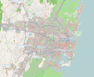
Location map Australia Sydney.png - Dr. Blofeld~commonswiki
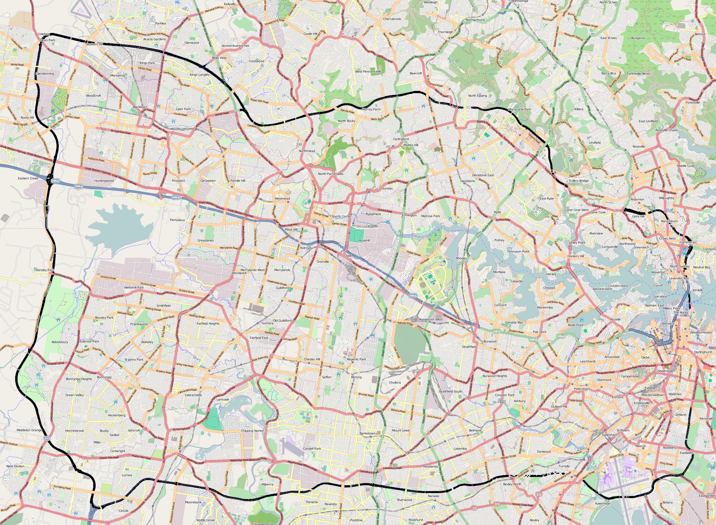
Sydney-orbital-black-line.png - Ralmin

Ashfield parish map.svg - 99of9

Sydney-ODbL240312.png - WhistleblowerMSO

OSM central Sydney.png - Кайл55

2014-hostage-crisis-openstreetmap.svg - FastilyClone

OSM central Sydney BW.png - Willtron

Employers Mutual Limited location .png - JasonZXH

Greater Region Sydney Plan (2018) - Growth areas and urban renewal corridors.jpg - VXP0405

PortJackson2022OSM.png - Kelisi

Sydney Inner City & Eastern Suburbs Regions.jpg - Electro333

Map of Sydney's Upper Northern Beaches.jpg - Mapper2000

Map of Sydney's Lower Northern Beaches.jpg - Mapper2000

Map of Sydney's Forest District.jpg - Mapper2000

Map of Sydney's Outer North.jpg - Mapper2000

Map of Sydney's Upper North Shore.jpg - Mapper2000

Map of Sydney's Lower North Shore.jpg - Mapper2000

Map of Sydney's Northern Suburbs.jpg - Mapper2000

Map of Sydney's Outer North-West.jpg - Mapper2000

Map of Sydney's Outer West.jpg - Mapper2000

Map of Sydney's Outer South-West.jpg - Mapper2000

Map of Sydney's North-Western Suburbs.jpg - Mapper2000

Map of Sydney's Hills District.jpg - Mapper2000

Map of Sydney's Inner South-West.jpg - Mapper2000

Map of Sydney's Inner West.jpg - Mapper2000

Map of Sydney's Western Suburbs.jpg - Mapper2000

Map of Sydney's South-Western Suburbs.jpg - Mapper2000

Map of Sydney's Outer South.jpg - Mapper2000

Map of Sydney's Southern Suburbs.jpg - Mapper2000

Map of Sydney's Eastern Suburbs.jpg - Mapper2000

Map of Sydney's Inner South.jpg - Mapper2000

Map of Sydney's South-Eastern Suburbs.jpg - Mapper2000

Map of Sydney's Inner City.jpg - Mapper2000