Wikimedi'Òc
Modes d'emploi

Cet album fait partie des albums


Neukaledonien und Loyaltyinseln MKL1888.png - ¡0-8-15!

Kadavu-Fiji 1889.jpg - Julo

Karte vom Amerikanischen Polynesien 1859.jpg - Julo

Tahiti 18th century map.jpg - AndreasPraefcke

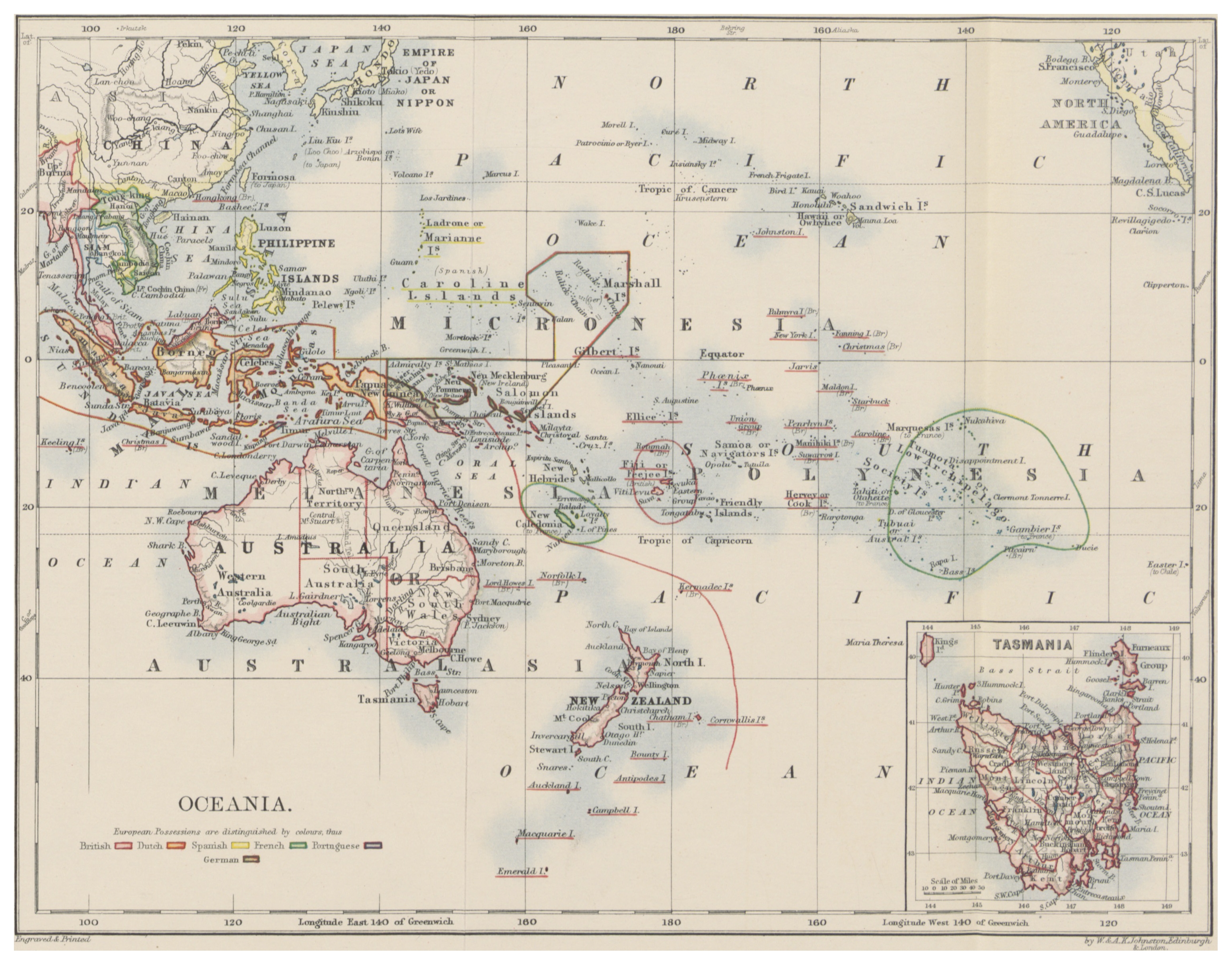
Meyers b12 s0582a.jpg - Mapmarks

Stielers Handatlas 1891 76.jpg - Kolossos

Übersicht Der Deutschen Besitzungen im Stillen Ozean.jpg - Berklas

Islas Marianas Palaos y Carolinas.JPG - Jtspotau~commonswiki

Caarte vande Zuijdzee vertonende wat wech Willem Schouten door de zelve gezeijlt 1618.jpg - File Upload Bot (Magnus Manske)

New Caledonia.jpg - JanKub

Die Gartenlaube (1887) b 460 1.jpg - Leppus

Itinéraire du Caitaine Cook.JPG - Toubabmaster~commonswiki

1862 Stieler Map o Australia and Polynesia - Geographicus - Polynesien-perthes-1862.jpg - BotMultichill

1769 Cook Map of the Society Islands - Geographicus - SoecityIsland-cook-1769.jpg - BotMultichill

1769 Cook Map of Tahiti, the Society Islands, and the Vicinity - Geographicus - OtahitiDecouverts-cook-1769.jpg - BotMultichill

1852 Bocage Map of Australia and Polynesia - Geographicus - Oceanie-bocage-1852.jpg - BotMultichillT

1852 Levasseur Map of Australia and Polynesia (Oceanie) - Geographicus - Oceanie-levasseur-1852.jpg - BotMultichillT

1806 Cary Map of Asia, Polynesia, and Australia - Geographicus - Asia-cary-1806.jpg - BotMultichillT

1780 Cook - Hogg Map of Tahiti ( Society Islands ) - Geographicus - Tahiti-hogg-1780.jpg - BotMultichillT

1897 administrative map of the Marshall Islands, Pacific Ocean.jpg - Ratzer

Expediciones Españolas.jpg - Franco310397

Australia1848.jpg - National Public Domain Archive

Bouillet - Atlas universel, Carte 88.png - Pibewiki
(1897) OZEANIA.jpg - Metilsteiner

HARVEN(1883) p065 OCEANIA.jpg - Metilsteiner

Old Oceania map in german.jpg - SteinsplitterBot

Karte von Australien oder Polynesien (1795).jpg - Skimel

War map - Australia, China, Japan, and the South Pacific (1914).jpg - Skimel

Stielers Handatlas 1891 76 Cook detail.png - Gozitano

LA2-Blitz-0298p.png - Gozitano

Meyers Konversations-Lexikon, Oceania map.jpg - Indefatigable2