Wikimedi'Òc
Modes d'emploi

Cet album fait partie des albums
Cet album photos contient les sous-albums suivants :


Map-windsor-connecticut-1654.jpg - Btphelps

Map-windsor-closeup-1654.jpg - Btphelps

Little Liberia (Bridgeport, Connecticut) 1850.png - AbbyKelleyite

1875 Danbury picture map.jpg - JJBers

A plan of the town of New Haven - with all the buildings in 1748 taken by the Hon. Gen. Wadsworth of Durham to which are added the names and professions of the inhabitants at that period - also the (10208491065).jpg - Fæ
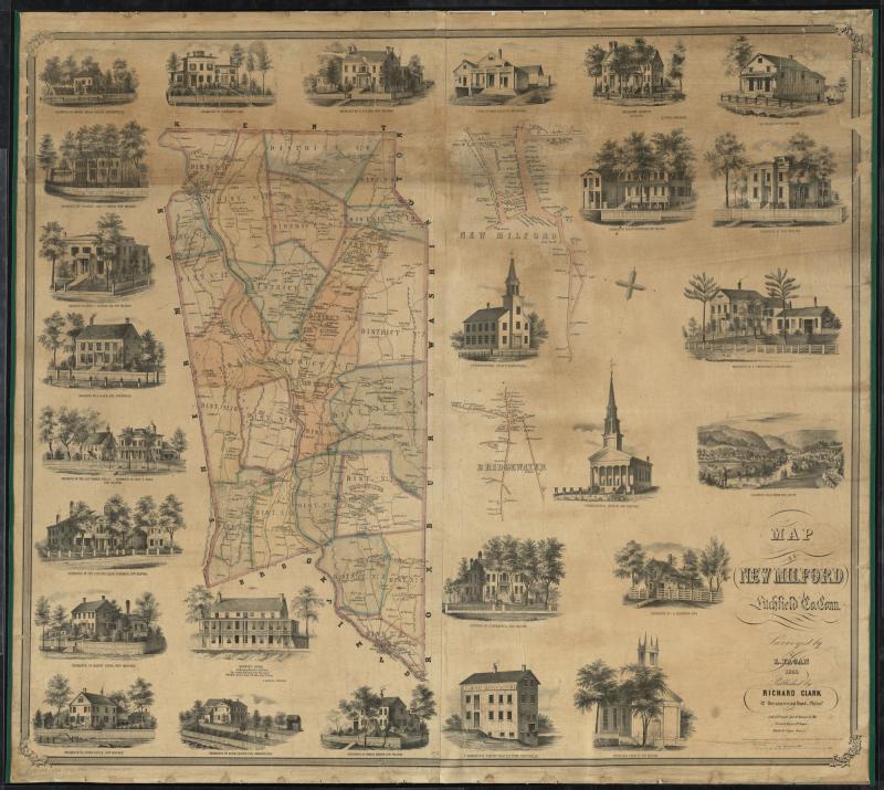
Map of New Milford, Litchfield Co., Conn. (10212587553).jpg - Fæ

Map of the town of Waterbury, New Haven County, Connecticut (10212587903).jpg - Fæ
Bristol, Conn. looking north-east. LOC 75693146.tif - Fæ

Bristol, Conn. looking north-east. LOC 75693146.jpg - Fæ
City of Derby, Connecticut. LOC 73694677.tif - Fæ

City of Derby, Connecticut. LOC 73694677.jpg - Fæ
Derby, Shelton, and East Derby, Conn., 1898. LOC 99462706.tif - Fæ
Bird's eye view of Bristol, Conn. 1907. LOC 75693147.tif - Fæ

Bird's eye view of Bristol, Conn. 1907. LOC 75693147.jpg - Fæ