×

Jomann Imperium Periscum.jpg - Taron Saharyan

Map of Central Asia by J Arrowsmith.jpg - Undead warrior

Pope1880Beluch2.jpg - MALLUS
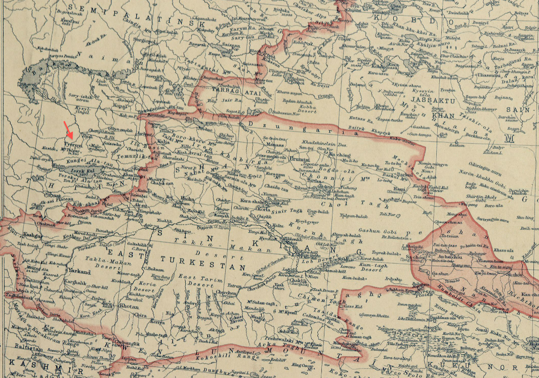
1912 Vyernyi detail of National Geographic Magazine map of China BPL m8738.png - M2545

Map of the Khanates of Bukhara, Khiva, and Khokand and Part of Russian Turkistan.png - SarahStierch

Bukhara, Afghanistan, Baluchistan, Etcetera WDL12988.png - Fæ

Bokhara, Kabool, Beloochistan, &c.; WDL474.png - Fæ

Kazakhstan. Bellin, Nicolaus. Leipzig, Merkur, 1749.jpg - Cekli829
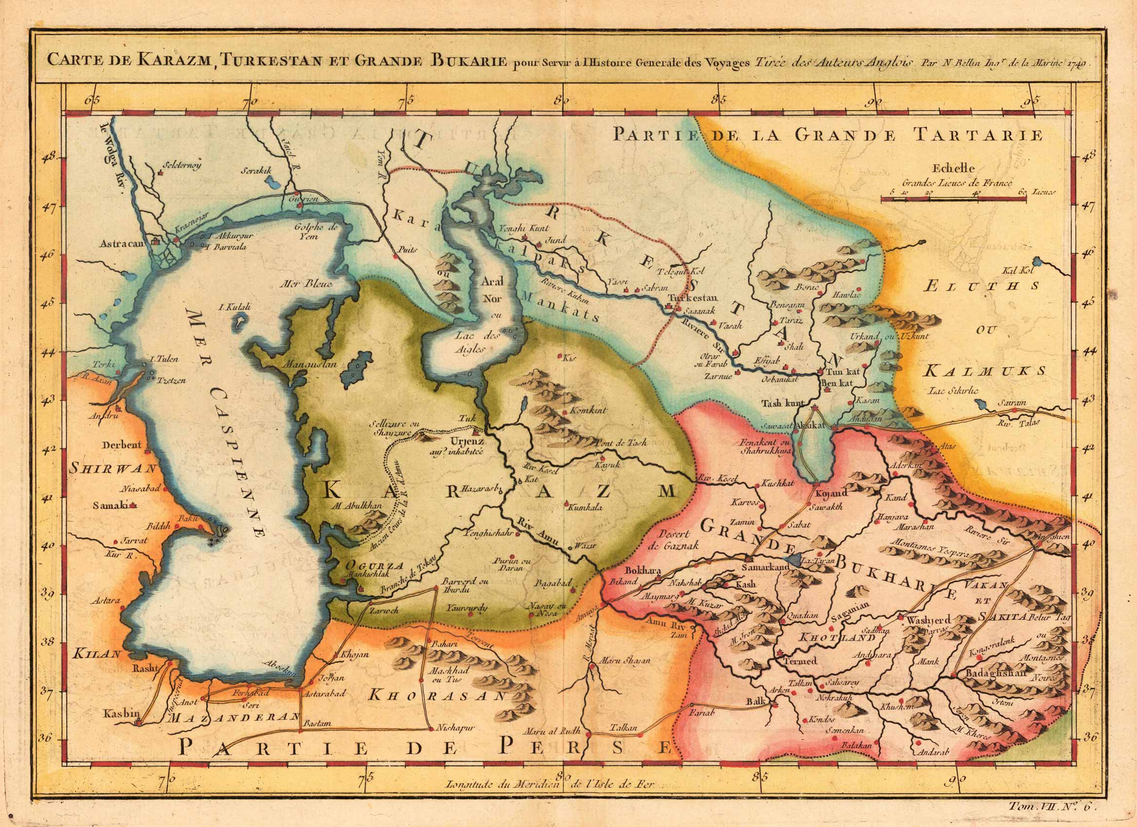
Turkestan & Kasachstan. Bellin, Nicolaus. Paris, 1749.jpg - Cekli829

Book of Roger MS. Greaves 42 225b.jpg - MartinPoulter

Book of Roger MS. Greaves 42 236b.jpg - MartinPoulter

The Americana - a universal reference library, comprising the arts and sciences, literature, history, biography, geography, commerce, etc. of the world (1903) (14576990459).jpg - Fæ

The boy travellers in the Russian empire- adventures of two youths in a journey in European and Asiatic Russia, with accounts of a tour across Siberia.. (1886) (14580730369).jpg - SteinsplitterBot
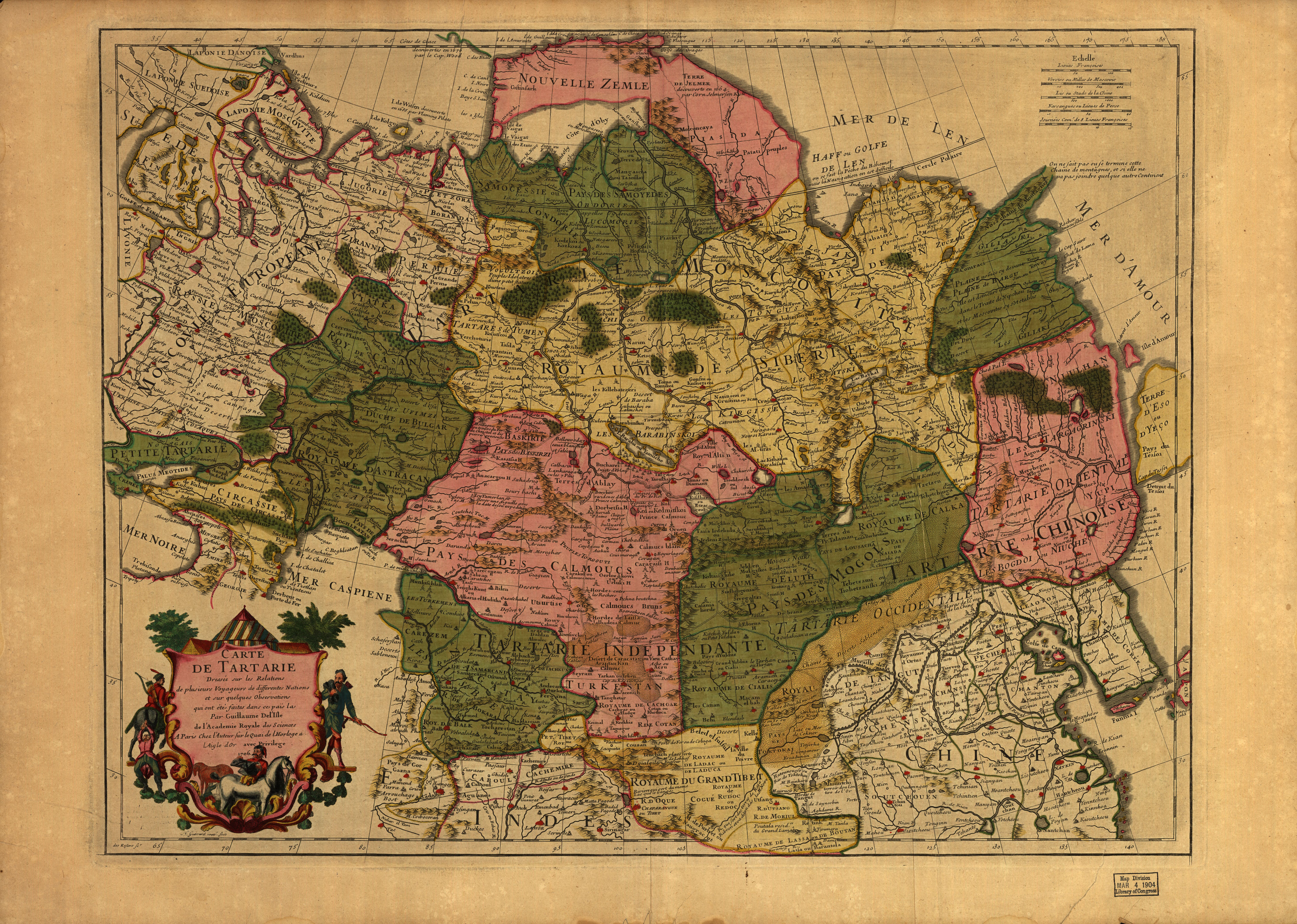
Carte de Tartarie. LOC 99446168.jpg - Fæ
Map of Persia, Turkey in Asia - Afghanistan, Beloochistan. LOC 2013593018.tif - Fæ

Map of Persia, Turkey in Asia - Afghanistan, Beloochistan. LOC 2013593018.jpg - Fæ

Bokhara, Kabool, Beloochistan, etc. LOC 2004629035.tif - Fæ

Bokhara, Kabool, Beloochistan, etc. LOC 2004629035.jpg - Fæ

Vorder-Asien. LOC 2013593006.tif - Fæ

Vorder-Asien. LOC 2013593006.jpg - Fæ

Iran und Turan Persien, Afghanistan, Biludschistan, Turkestan eine geographische Skizze.tif - Balkanique

Map of Central Asia 1885.tif - Balkanique

Map of Persia, Arabia, Tartary, Afghanistan 1835.tif - Balkanique

A general map of China Chinese-Tartary & Tibet.tif - Balkanique

La Tartaria indipendiente che comprende il Paese de'Calmuchi quello degli Usbeks, e il Turkestan.jpg - Balkanique

Magnae Tartariae, Magni Mogolis Imperii, Iaponiae et Chinae nova descriptio.jpg - Balkanique

Map of Turkestan by A.M. Perrot in 1826.jpg - Balkanique

Map of Central Asia in 1824.jpg - Balkanique

China nebst Corea und den benachbarten Laendern der Tartary aus denen Karten genommen, welche die Jesuiten von dem Jahre 1708 bis 1717 davon entworfen haben.tif - Enyavar

Carte générale de la Turquie d'Asie, de la Perse, l'Arabie, du Caboul et du Turkestan Indépendant.tif - Balkanique

Operations- und Marschrouten-karte zu Lt. H. Stumm's Russischer Feldzug nach Chiwa 1873.jpg - Balkanique

Afghanistan und seine Nachbarländer.jpg - Balkanique
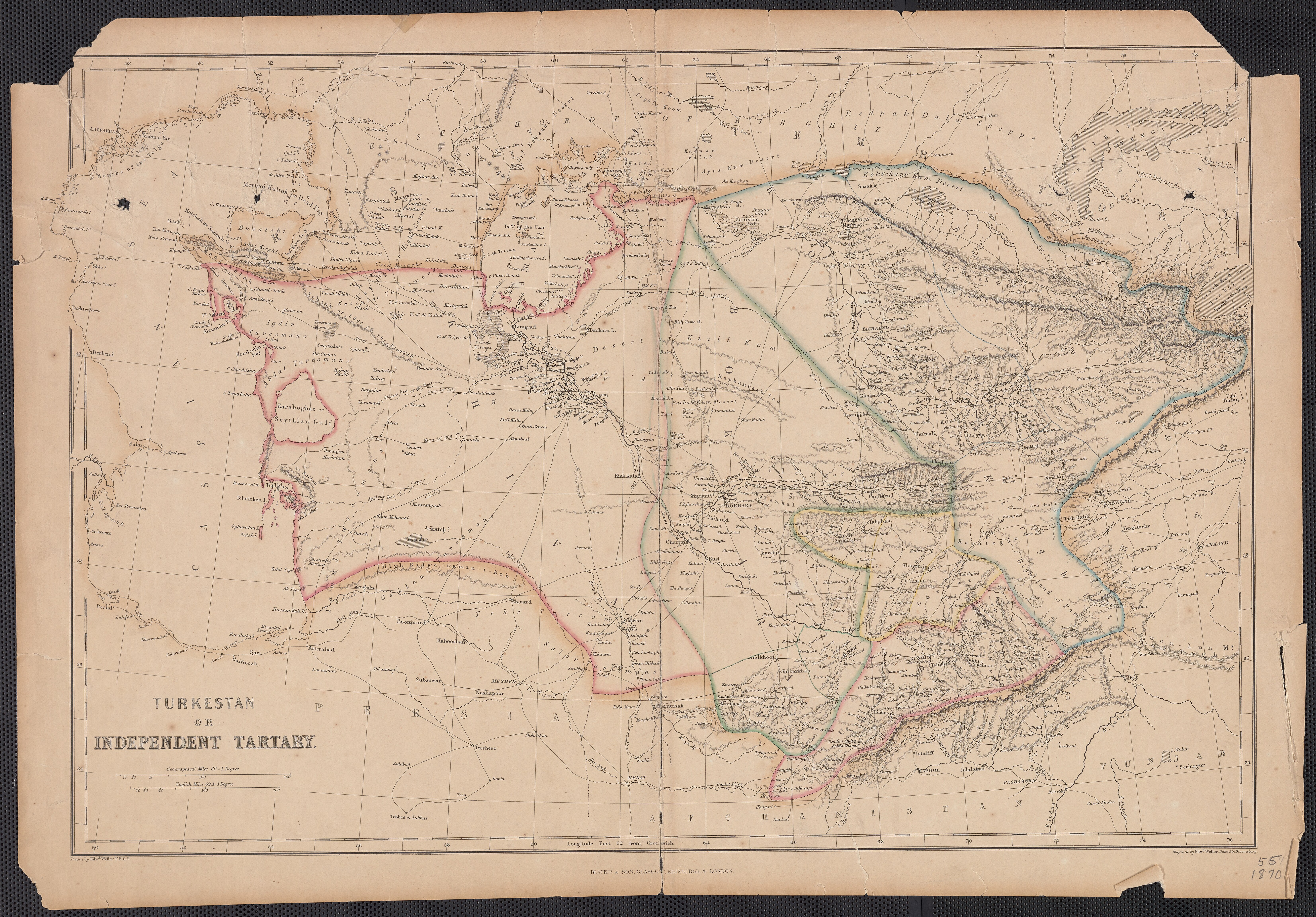
Turkestan or Independent Tartary.jpg - Balkanique

Karte von Central-Asien nach den neuesten Quellen bearbeitet von Dr. Joseph Chavanne.jpg - Balkanique

Karte des Gebiets Fergana (ehemaligen Chanats Kokan) und der angrenzenden Theile des General-Gouvernements Turkestan.jpg - Balkanique

Carte d'Asie occidentale Perse, Afghanistan, Turkestan.jpg - Balkanique

Carte de la Tartarie Indépendante qui comprend le Pays des Calmuks, celui des Usbeks, et le Turkestan, avec leurs dépendances.jpg - Balkanique

Le Turkestan et les pays limitrophes tracé des frontières de la Russie d'Asie.jpg - Balkanique

Das Chinesische Reich mit seinen Schutzstaaten (den Ländern der Mandschu und Mongolen, Ost Turkistan und Tübet) und das Kaiserthum Japan.jpg - Balkanique

Russisch-Türkisch-Persisch-Englische Grenzländer von Bosnien bis Kaschgar und Indien.jpg - Balkanique

Turan oder Türkistan, zu Carl Ritter's Erdkunde... Zum drittenmal neu bearbeitet von Heinrich Kiepert.jpg - Balkanique
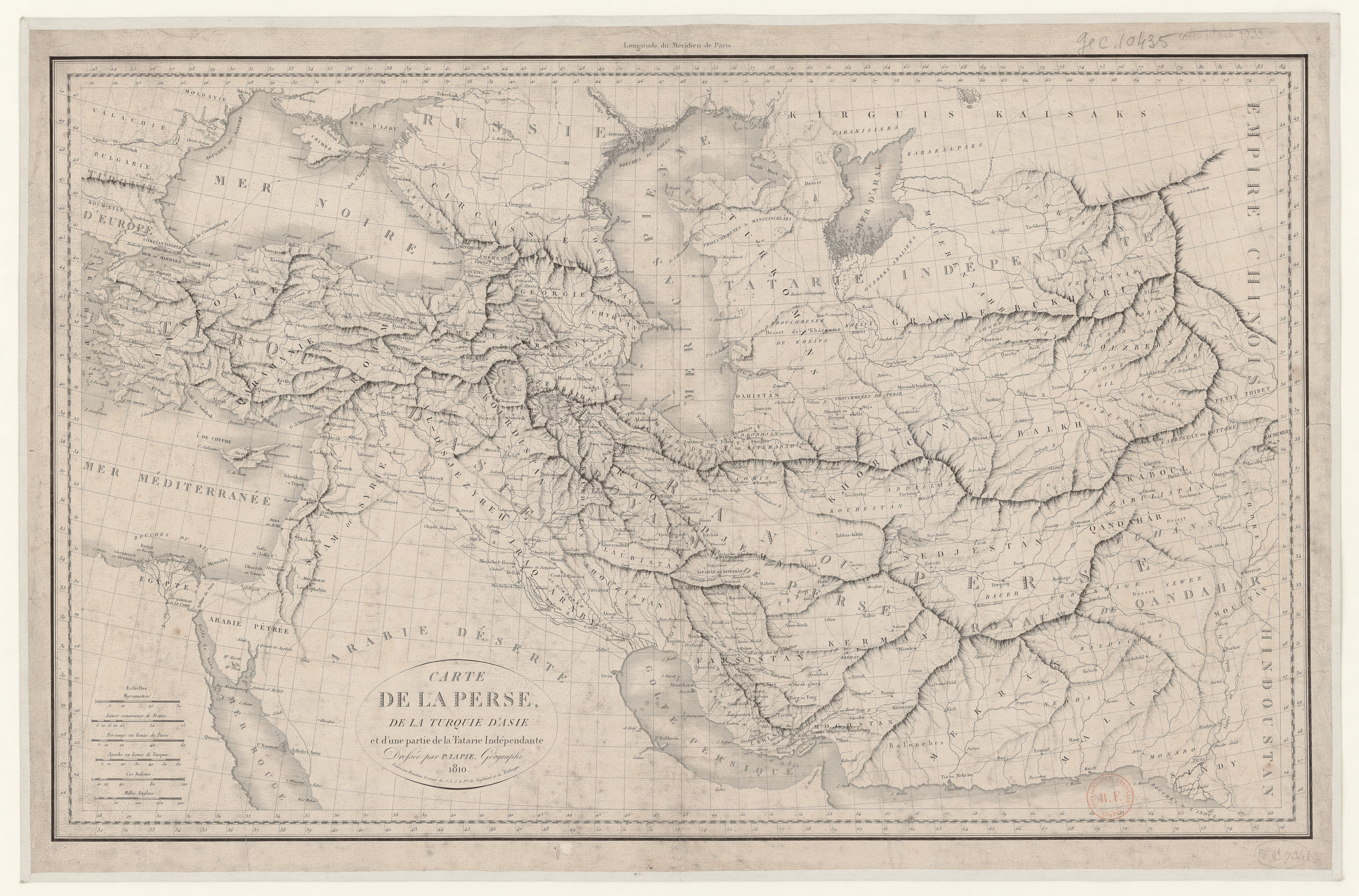
Carte de la Perse, de la Turquie d'Asie et d'une partie de la Tartarie Indépendante.jpg - Balkanique

Map of Khiva translated from Russian documents by Lieutenant Colonel T. B. Jervis.jpg - Balkanique

Carte du Khanat de Boukhara et d'une partie des steppes des Kirghiz.jpg - Balkanique

Map of the countries between England and India, designed to shew the over-land and sea-routes to the east, and the relative position of Russia to England & Hindostan.jpg - Balkanique

Map of the seat of war in Asia 1885.tif - Balkanique

Central Asia, comprising Bokhara, Cabool, Persia, the River Indus, & countries eastward of it.tif - Balkanique

Boukhara from Asie 1 to 1,000,000. flle 40N-66E.jpg - Balkanique

Merv from Asie 1 to 1,000,000. flle 40N-60E.jpg - Balkanique

Asterabad from Asie 1 to 1,000,000. flle 40N-54E.jpg - Balkanique

Kachgar from Asie 1 to 1,000,000. flle 40N-78E.jpg - Balkanique

Carte de la mer d'Aral et du Khanat de Khiva.jpg - Balkanique

1860 Map of Persia, Turkey in Asia, Afghanistan, Beloochistan.jpg - Balkanique

1883 map of Russia in Asia, Turkestan &c.jpg - Balkanique

1864 map of Map of Persia and Cabul.jpg - Enyavar

1860 Carte d'Asie Occidentale. Turquie D'Asie, Arabie, Perse, Turkestan, Afghanistan & Beloutchistan.jpg - Balkanique

1838 map of Siberia and Chinese Tartary.jpg - Balkanique

1913 - Die alte Verbindung zwischen dem Oxus und dem Kaspischen Meer.jpg - Balkanique

1779 - Carte de l' Empire de la Chine avec la Tartarie Chinoise.jpg - Balkanique

19th century map of the Russian Empire and adjacent countriesː Turkey, Persia, Siberia, Turkestan and Afghanistan.jpg - Balkanique

1654 map - Description de la Tartarie.tif - Balkanique

Map of Tibet in 1903 from The Americana - a universal reference library, comprising the arts and sciences, literature, history, biography, geography, commerce, etc. of the world (1903) (14576990459) (cropped).jpg - Tibet Nation

1892 map of Central Asia and British Inda - Dislocations-Karte der Indo-britischen Streitkräfte in Ost-Indien un der russischen Streitkräfte in Asien.jpg - Balkanique

1842 map of Central Asia - comprising Bokhara, Cabool, Persia, The River Indus, & Countries Eastward of it.jpg - Balkanique

1626 map of Tartary by John Speed.jpg - Balkanique

1766 map - Carte de Tartarie dressee sur les relations.jpg - Balkanique

1706 map - Carte De Tartarie.jpg - Balkanique

1706 map of Tartary by Guillaume de L'Isle.jpg - Balkanique

1786 map - Grande Tartarie et isles du Japon suivant les rélations les plus autentiques par Mr. Brion, Ingénieur-Géographe du Roy.tif - Balkanique

1601 map of Tartary by Abraham Ortelius.tif - Balkanique

1881 Russian map of Afghanistan and the Bordering Countries.jpg - Balkanique

1749 map Chinese Tartary by Tobias Mayer.jpg - Balkanique

Kâtip Çelebi's Cihannümâ - map of Transoxiana.tiff - Onceinawhile

1871 Russian map of Central Asia.jpg - Balkanique

Map of Tibet, Mongolia and China in 1909, from- Mannerheim - Across Asia from West to East in 1906-08 (1909, 1940, 1969) vol 1 (page 7 crop).jpg - Tibet Nation

1909 Map of Tibet detail, from- Map of Tibet, Mongolia and China in 1909, from- Mannerheim - Across Asia from West to East in 1906-08 (1909, 1940, 1969) vol 1 (page 7 crop) (cropped).jpg - Tibet Nation

1838 map of Siberia and Chinese Tartary by the SDUK.jpg - Balkanique

1846 map of Iran and Turkestan.jpg - Beao

1851 map of Independent Tartary by John Tallis.jpg - Balkanique

Map of Independent Tartary by Samuel Dunn.jpg - Balkanique

1848 map of Central Asia by Heinrich Kiepert.jpg - Balkanique

1552 Ptolemy's 7th Asian Map by Sebastian Münster.jpg - Balkanique

La Tartaria indipendente, che comprende il Paese de' Calmuchi, quello degli Usbeks, e il Turkestan co le loro dipendenze.jpg - Balkanique

1786 map - Grande Tartarie et isles du Japon suivant les rélations les plus autentiques par Mr. Brion, Ingénieur-Géographe du Roy (cropped).tif - Balkanique

A Map of Independent Tartary Containing the Territories of Usbeck, Gasgar, Tibet, Lassa &c.jpg - Balkanique
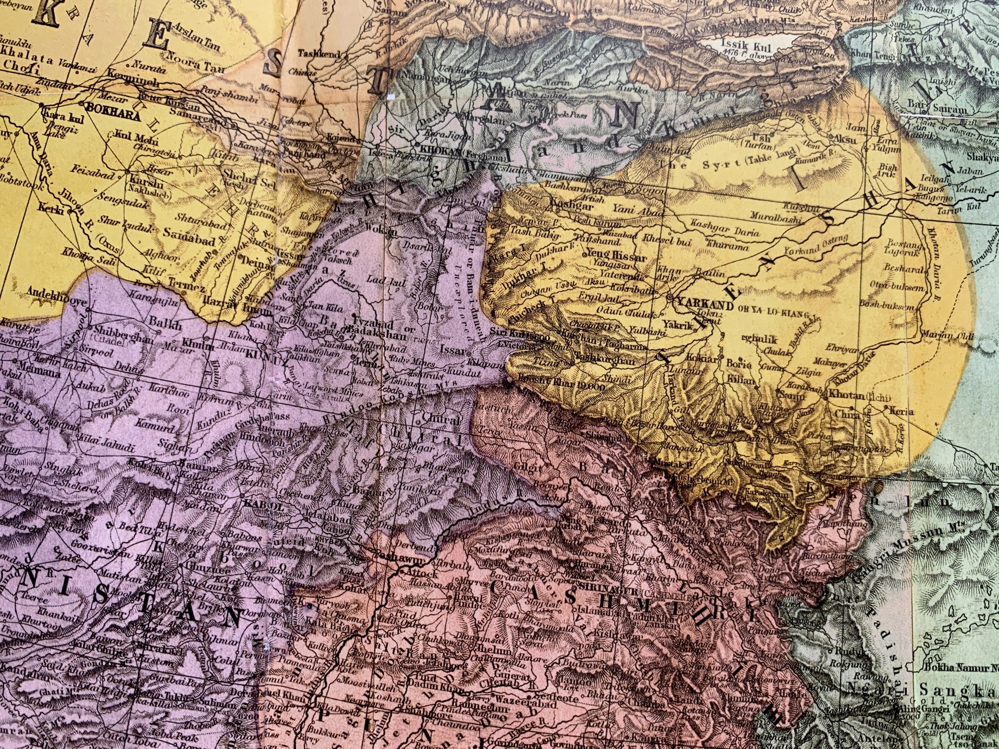
Central Asia in 1873 (detail of a map).jpg - DaLoetz

Map of Turkistan comprising the countries between the Caspian and British India. (IA bp 19913).pdf - Fæ

Za wang a er bu tan tu - btv1b55000264q (1 of 2).jpg - Gzen92Bot

Turkistan-1931.png - Samiollah1357

Map of Turkestan Krai (1866).jpg - Incall
❮
❯


