×
Schantung Kiautschou.jpg - Immanuel Giel
China Map 1832 Shandong.jpg - R.O.C
China Map 1717 Shandong.jpg - R.O.C
Bundesarchiv Bild 137-004841, Tsingtau, Erster japanischer Plan.jpg - BArchBot
Bundesarchiv Bild 137-004843, Tsingtau, Deutscher Plan.jpg - BArchBot
Bundesarchiv Bild 137-009342, Karte von Tsingtau und Umgebung.jpg - BArchBot
Bundesarchiv Bild 146-1991-059-21A, Tsingtau.jpg - BArchBot
Cheeloo University 1933 03.jpg - 猫猫的日记本
Meyers Geographischer Handatlas 1912-Tsingtau.jpg - Till.niermann
083 kiautschou-bucht-mit-tsingtau.png - 1970gemini
Lange diercke sachsen asien tsingtau.jpg - Bananenfalter
Laizhou 1800-1850.jpg - Rosemania
山东省秦代区划.svg - Baomi
青岛特别市区域全图.gif - Ginbayashi
Anville Nouvel atlas de la Chine - Page35 chan tong.jpg - Wuyouyuan
1948年4月27日《中央日报》刊发的“昌潍坚守”示意图.jpg - File Upload Bot (Magnus Manske)
AMH-5649-KB Map depicting the journey by Joan Nieuhoff from Canton to Peking.jpg - HuskyBot
STANFORD(1917) p24 PLATE 5. SHANTUNG (14597119880).jpg - Metilsteiner
Atlas Van der Hagen-KW1049B13 039-XANTVNG SINARVM IMPERII PROVICIA QUARTA.jpeg - OlafJanssen
Lion and dragon in northern China (1910) (14597605617).jpg - Fæ
Histoire générale des voyages ou Nouvelle collection de toutes les relations de voyages par mer et par terre, qui ont été publiées jusqu'à présent dans les différentes langues de toutes les nations (14777605125).jpg - Fæ
Reports of the missionary and benevolent boards and committees to the General Assembly of the Presbyterian Church in the United States of America (1914) (14773151205).jpg - SteinsplitterBot
Reports of the missionary and benevolent boards and committees to the General Assembly of the Presbyterian Church in the United States of America (1913) (14744165486).jpg - SteinsplitterBot
Treaties and agreements with and concerning China, 1894-1919 (1921) (14761880794).jpg - Fæ
Shandong in the Qin Dynasty.svg - Baomi
Qingdao-map-1906.jpg - Deadstar
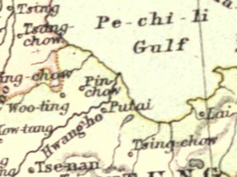
Putai.png - LlywelynII
Putai 1911.png - LlywelynII
"Xantung, Sinarum Imperii provincia quarta." (21632336863).jpg - Tm
Zhili Shandong liang sheng di yu quan tu. LOC gm71005076.jpg - Fæ
Admiralty Chart No 3480 Shantung Promontory to Nagasaki, Published 1905.jpg - Kognos
Admiralty Chart No 1255 Kiaochow Bay to Lai Chau Bay, Published 1906.jpg - Kognos
亚新地学社1936年《袖珍中华全图》--21山东省.jpg - 瑞丽江的河水
Fen ye yu tu. LOC 2002626777-9.tif - Fæ
Fen ye yu tu. LOC 2002626777-9.jpg - Fæ
Bei yang fen tu. LOC gm71005226.tif - Fæ
Bei yang fen tu. LOC gm71005226.jpg - Fæ
Da Ming yu di tu LOC 2002626776-4.tif - Fæ
Da Ming yu di tu LOC 2002626776-4.jpg - Fæ
Shandong quan tu LOC gm71005109.tif - Fæ
Shandong quan tu LOC gm71005109.jpg - Fæ
Tsintau Kiautschou Map 1889.png - Tom
Tian xia zong yu tu. LOC 2002626780-3.tif - Fæ
Tian xia zong yu tu. LOC 2002626780-3.jpg - Fæ
Der Jesuiten-Atlas der Kanghsi-Zeit - China und die Aussenlaender LOC 74650033-22.tif - Fæ
Der Jesuiten-Atlas der Kanghsi-Zeit - China und die Aussenlaender LOC 74650033-22.jpg - Fæ
Shandong in the Northern Song Dynasty.svg - Baomi
Plan Of Oie-Hai-Oie Harbour.jpg - Higgenhorscht
Da Qing fen sheng yu tu LOC 2002626726-4.tif - Fæ
Da Qing fen sheng yu tu LOC 2002626726-4.jpg - Fæ
Guang yu tu - er juan LOC 2008623187-36.tif - Fæ
Guang yu tu - er juan LOC 2008623187-36.jpg - Fæ
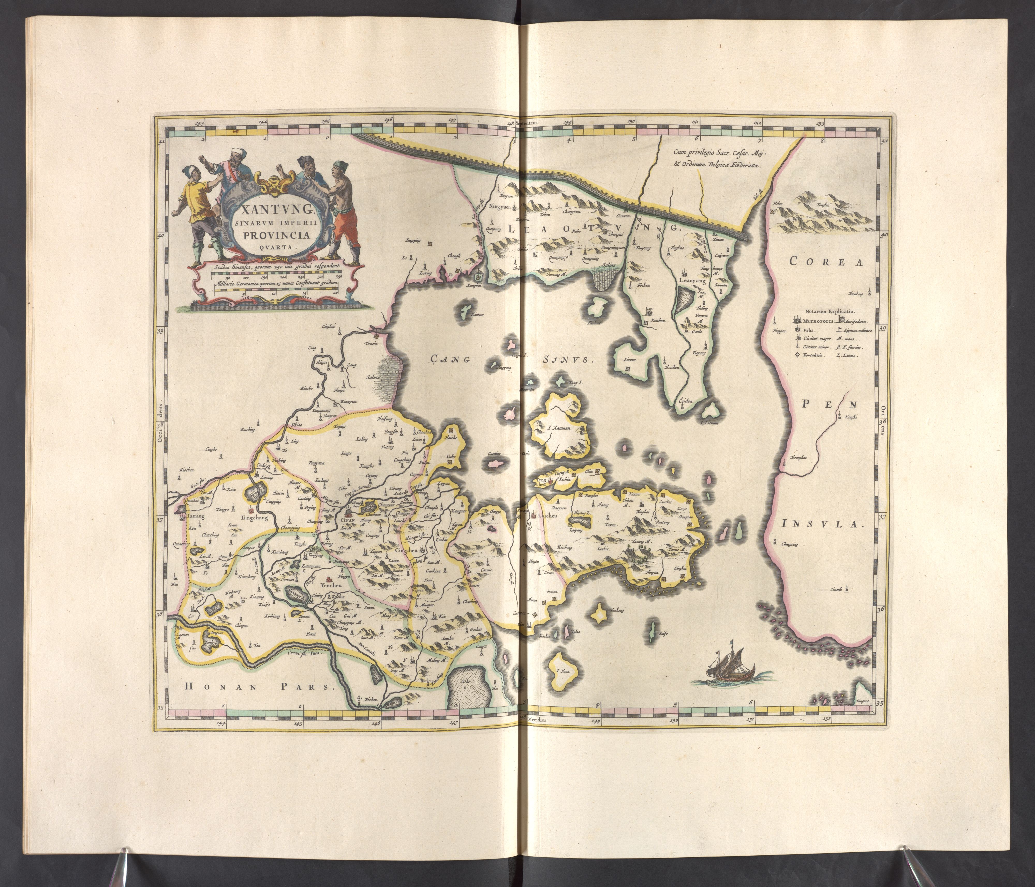
Xantvng - Atlas Maior, vol 11, map 16 - Joan Blaeu, 1667 - BL 114.h(star).11.(16).jpg - JhealdBot
Atlas général de la Chine, de la Tartarie chinoise, et du Tibet - pour servir aux différentes descriptions et histoires de cet empire LOC 00552972-16.tif - Fæ
Atlas général de la Chine, de la Tartarie chinoise, et du Tibet - pour servir aux différentes descriptions et histoires de cet empire LOC 00552972-16.jpg - Fæ
Txu-oclc-10552568-ni50-4.jpg - Geographyinitiative
Txu-oclc-10552568-ni50-8.jpg - Geographyinitiative
Txu-oclc-10552568-nj50-11.jpg - Geographyinitiative
Txu-oclc-10552568-nj50-12.jpg - Geographyinitiative
Txu-oclc-10552568-nj51-9.jpg - Geographyinitiative
Txu-oclc-10552568-nj51-10.jpg - Geographyinitiative
Txu-oclc-10552568-nj51-13.jpg - Geographyinitiative
Txu-oclc-10552568-nj51-14.jpg - Geographyinitiative
Deutscher Kolonialatlas mit Jahrbuch 1910 (133566334).jpg - Polona Upload
Provinz Shantung mit der Kiau-Tschou-Bucht und den Kohlenfeldern von Po-Shan-Hsiën.png - Kristián Czerny
Chan-toung - par Jean-Baptiste d'Anville - btv1b530091679.jpg - Gzen92Bot
Huang chao zhi sheng di yu quan tu - btv1b531099218 (16 of 38).jpg - Gzen92Bot
Province de Chan-tong - (par J.-B. d'Anville) - btv1b84698980.jpg - Gzen92Bot
Xantung, sinarum imperii provincia quarta - (tiré du P. Martini) - btv1b5963044d.jpg - Gzen92Bot
Provinz Shantung mit der Kiau-Tschou-Bucht und den Kohlenfeldern von Po-Shan-Hsiën - Deutschland Ostasien sowie den projektirten Deutschen Eisenbahnlinien nach Tsi-Nan-Fu, Po-Shan-Hs. und I.-Tscou-Fu -... - btv1b53029681z.jpg - Gzen92Bot
Nouvel Atlas de la Chine, de la Tartarie chinoise et du Thibet contenant les cartes générales et particulières de ces pays, ainsi que la carte du royaume de Corée, la plupart levées sur les lieux... - btv1b53096745m (038 of 117).jpg - SteinsplitterBot
Province de Chan-Tong - (tirée du P. Duhalde) - btv1b5963045t.jpg - Gzen92Bot
Description de la Chine - par Lu-Ying-Yang, rédigée en 1686 - btv1b53170136z (0070 of 1602).jpg - Gzen92Bot
Description de la Chine - par Lu-Ying-Yang, rédigée en 1686 - btv1b53170136z (0071 of 1602).jpg - Gzen92Bot
Zhi li ge sheng yu di quan tu - Zhang Zongjing - btv1b53103898v (24 of 69).jpg - Gzen92Bot
Province de Chan-Tong - (tirée du P. Duhalde) - btv1b59630467.jpg - Gzen92Bot
Carte manuscrite de la grande Tartarie contenant le païs entre la Sibérie et la Chine, contenant depuis 35° de latitude à 55° de latitude, en 25 feuilles - btv1b550030640 (25 of 36).jpg - Gzen92Bot
Z. Province Shantung showing markets, towns and district for strawbraid and silk produce, places where the poppy is grewn and opium produced, coal mines that have seen and are new worked, the gold mines at Minghai... - btv1b53058772z.jpg - Gzen92Bot
Province de Chan-tong - par Jean-Baptiste d'Anville - btv1b53009001r.jpg - Gzen92Bot
Admiralty Chart No 3735 Cape Yatau to TauTsui Head, Published 1909.jpg - Kognos
May 7, 1923 NYT map of the Lincheng Incident.png - Abzeronow
Guang Yutu 1558 Vol 1 Pg 11 Shandong 1.jpg - LlywelynII
Guang Yutu 1588 Vol 2 Pg 101 Grand Canal 2.jpg - LlywelynII
Admiralty Chart No 1392 Pohai Strait, Published 1910.jpg - Kognos
Schantung Kiautschou (cropped).jpg - Cléééston
Map of Shandong Province by Tōjō Kindai.jpg - Bookish Worm
❮
❯