Wikimedi'Òc
Modes d'emploi

Cet album fait partie des albums
Cet album photos contient les sous-albums suivants :


Karte vom Amerikanischen Polynesien 1859.jpg - Julo
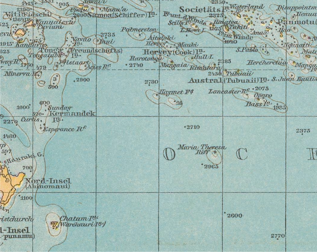
Maria Theresa Reef.png - Bandar Lego

1769 Cook Map of Tahiti, the Society Islands, and the Vicinity - Geographicus - OtahitiDecouverts-cook-1769.jpg - BotMultichill

1780 Cook - Hogg Map of Tahiti ( Society Islands ) - Geographicus - Tahiti-hogg-1780.jpg - BotMultichillT

1855 Spruner Map of Australia and Polynesia with an overview of Discoveries and Colonization - Geographicus - AustraliaPolynesia-spruner-1855.jpg - BotMultichillT

Nineteen years in Polynesia- missionary life, travels, and researches in the islands of the Pacific (1861) (14595959377).jpg - Fæ
9781107625822 maps.pdf - Ratzer

The Social and Political Systems of Central Polynesia - General Reference Map.png - Chricho

207 of 'Au loin. Souvenirs de l'Amerique du sud et des îles Marquises.-Dessins, etc' (11208119573).jpg - SteinsplitterBot

152 of 'Wanderings, South and East ... With two maps and forty-seven wood engravings executed under the direction of Edward Whymper, from sketches by the author, native drawings, etc' (11150544735).jpg - Artix Kreiger 2

223 of 'Les Polynésiens et leurs migrations ... Ouvrage accompagné de 4 cartes gravées' (11074450274).jpg - Artix Kreiger 2

227 of 'Les Polynésiens et leurs migrations ... Ouvrage accompagné de 4 cartes gravées' (11074007205).jpg - Artix Kreiger 2

West-Polynesien.jpg - Higgenhorscht

Ost-Polynesien.jpg - Higgenhorscht

Admiralty Chart No 1111 Heyow, The Bow Island Of Captain Cook, And The La Harpe Of M. Bougainville, Published 1833.jpg - Higgenhorscht

Atlas des colonies françaises - 27 planches de cartes, texte explicatif, index alphabétique - dressé par ordre du Ministère des Colonies par Paul Pelet - bpt6k11001831 (089 of 206).jpg - Gzen92Bot