Wikimedi'Òc
Modes d'emploi

Cet album fait partie des albums
Cet album photos contient les sous-albums suivants :


Pakistan 1959.jpg - Marsonmars

Islamabad, Pakistan 2004.jpg - Marsonmars

Afghanmap1893.JPG - File Upload Bot (Magnus Manske)
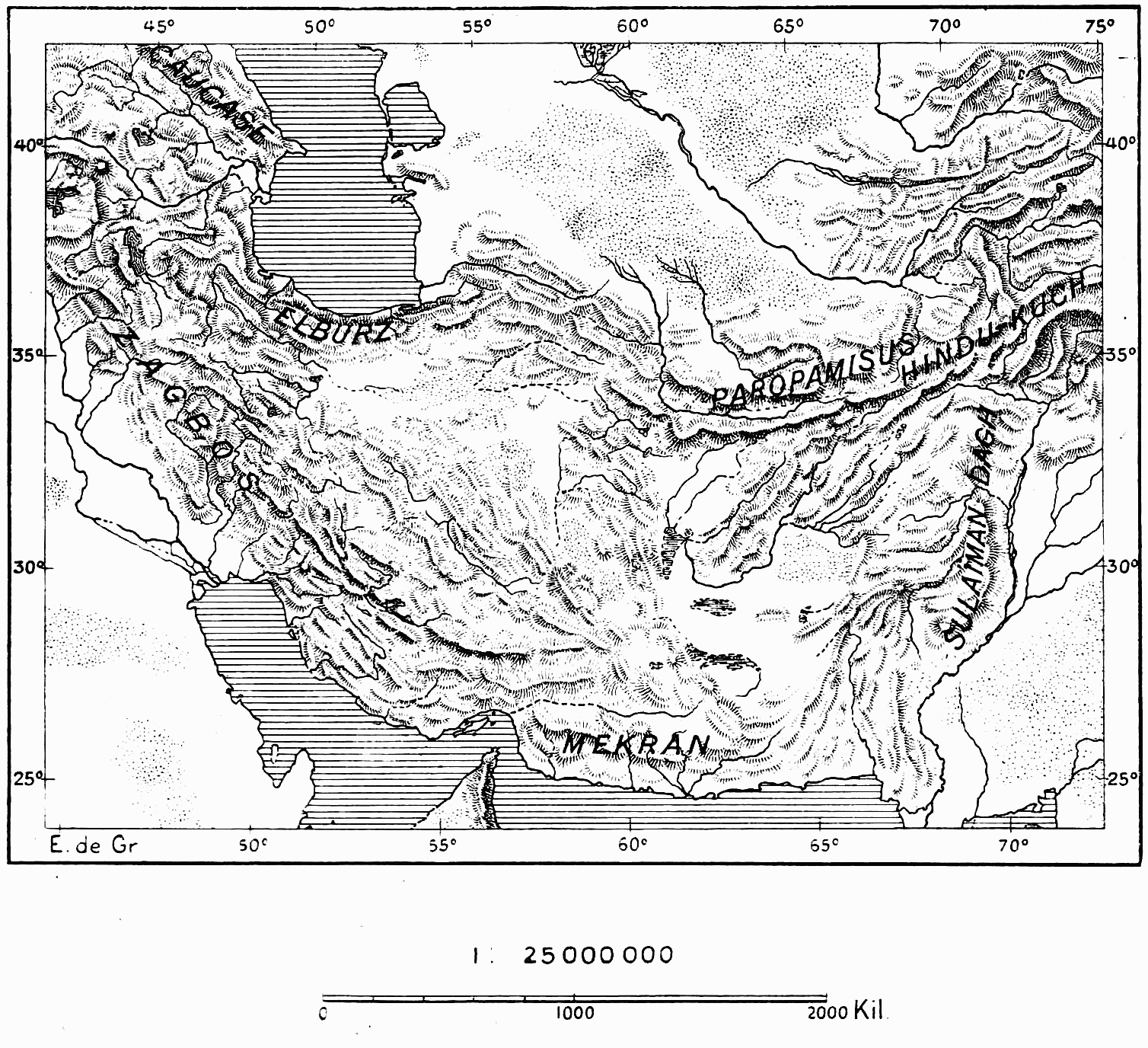
D389- Carte des chaînes du plateau d’Iran. -L2-Ch 1.png - Vieux têtard

Map, Country of the Sikhs, 1782.jpg - DPSChandigarh

Page 2 - CFL as shown on UN Map to Karachi Agreement 1949.JPG - Ronhjones

66 of 'Plucky Fellows; being reminiscences from the Note-Book of Captain Fred. A book for boys' (11101004713).jpg - Artix Kreiger 2

Iran Pakistan boundary.png - WisDom-UK

Chinese-Pak border map.png - WisDom-UK

"FIGHTING CLANS" of the British Indian Empire, 1918 — North East.jpg - Rnrctg

"FIGHTING CLANS" of the British Indian Empire, 1918 — North West.jpg - Rnrctg

"FIGHTING CLANS" of the British Indian Empire, 1918 — South West.jpg - Rnrctg

"FIGHTING CLANS" of the British Indian Empire, 1918 — South East.jpg - Rnrctg

Administrative Divisions of Pakistan.jpg - Rnrctg

Admiralty Chart No 118 Delta of the Indus, Kediwari Mouth to Nirani Creek, Published 1897.jpg - Kognos

Map of the partition of British India.jpg - Box8087

Administration Divisional Map of West Pakistan Province.jpg - Vk8435820

Geological Sketch Survey of the environs of Khewra. Map No. 1 accompanying report on Mayo Salt Mines, copied in 1870 (F08-20).jpg - MaplesyrupSushi

Sketch map of the Salt Range, surveyed by William Purdon, 1851–52, drawn by Ainudden, reduced from the original sketch in 1853 (F09-05).jpg - MaplesyrupSushi

Geological sketch map of the Salt Range, from a rough Military Survey, surveyed by A. Heming, 1851–52, reduced in 1853 (F09-06).jpg - MaplesyrupSushi

Geological sketch map of the Salt Range from a rough Military Survey, surveyed in 1851–52 (F09-06-A).jpg - MaplesyrupSushi

Reduced map from the plane-table sections of Kohistan of the Sindh Sagar Doab, by H. Horst (F11-13-A).jpg - MaplesyrupSushi

Reduced map from the plane-table sections of Kohistan of the Sindh Sagar Doab, by H. Horst (F11-13).jpg - MaplesyrupSushi