Wikimedi'Òc
Modes d'emploi

Cet album fait partie des albums
Cet album photos contient les sous-albums suivants :


West Florida and Louisiana in 1781.jpg - Altairisfar
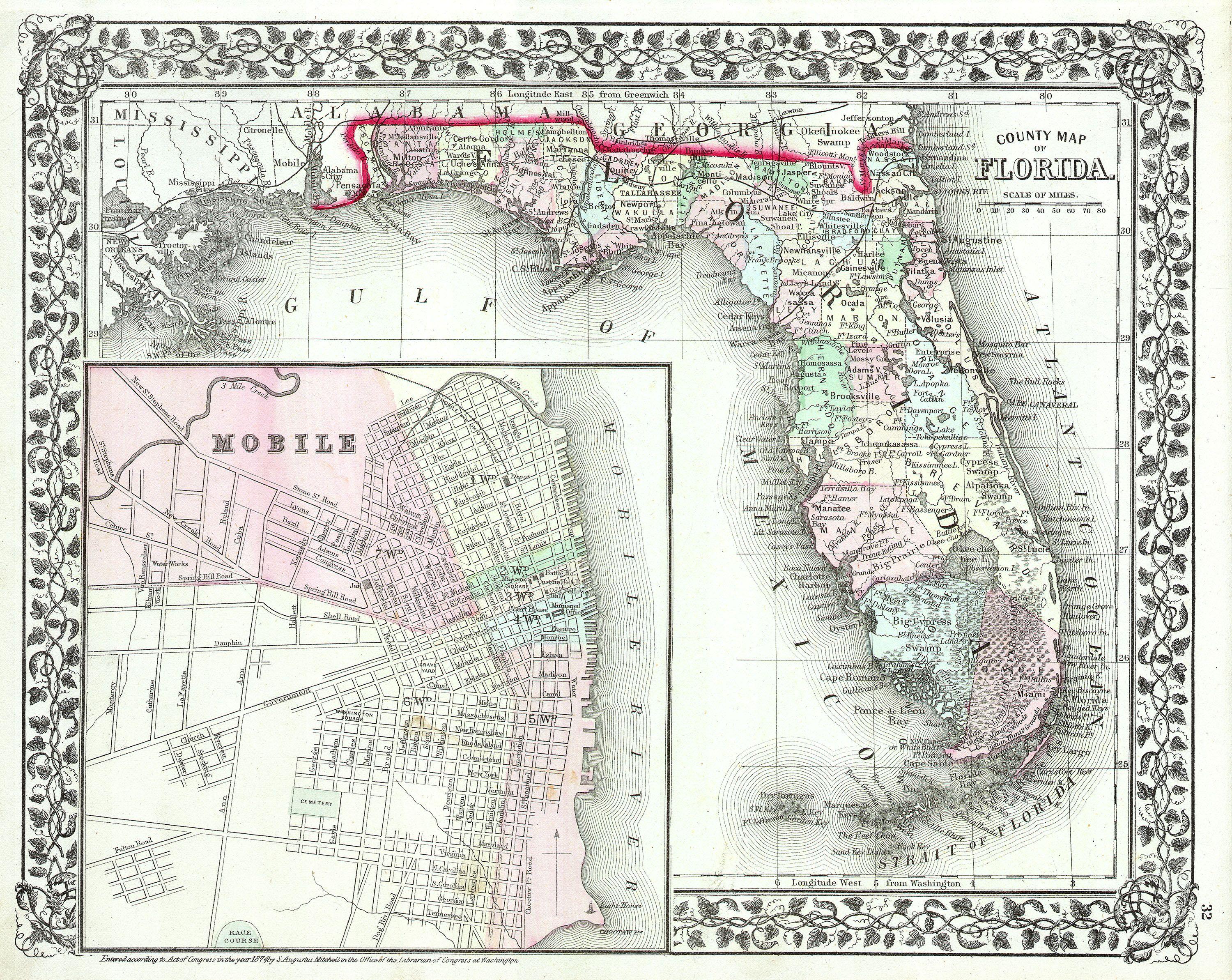
1874 Mitchell Map of Florida w- Mobile, Alabama inset - Geographicus - FL-m-1874.jpg - BotMultichill

Map No. 1. Rebel Defences, Mobile, Ala., occupied by Union Forces under Maj. Gen. E. R. S. Canby, Comdg., April 12th 1865. Drawn by order of Maj. McAlester, Chief Engineer, Army and Div. West Miss., Under Direction(...) - NARA - 305567.jpg - US National Archives bot
Coltons plans of U.S. harbors (Mobile harbour).jpg - Enyavar

Rg-077 7491472 z 274 01 - 1839 1847 map - An accurate Map of Delineation of the State of Mississippi with a large portion of Louisiana & Alabama, showing the communication by land and water between the Cities of New Orleans and Mobile.jpg - Jengod

Defense of Fort Morgan, Alabama - NARA - 122206888.jpg - US National Archives bot
Toulminville.jpg - Altairisfar

Map of the Defenses of the City of Mobile, Alabama - NARA - 139309077.jpg - US National Archives bot

Map of Mobile Bay LOC 2007629220.jpg - Fæ

Old Mobile Map 1704-1705.jpg - Leeannedy

1732 map of Louisiana.gif - Altairisfar

Map of Mobile in 1838.jpg - Altairisfar

1840 Map of Mobile, Alabama.jpeg - Spyder Monkey

1861 Mobile detail of Birds eye view of Louisiana, Mississippi, Alabama and part of Florida by Bachmann BPL 11055 4.png - M2545

Mobile Alabama 1815.jpeg - Timdwilliamson

Mobile 1815.jpg - Kingofthedead

Image taken from page 18 of 'History of the Campaign of Mobile; including the co-operative operations of Gen. Wilson's Cavalry in Alabama ... With maps and illustrations' (11083093173).jpg - Artix Kreiger 2

399 of 'American Historic Towns' (11248489683).jpg - FlickreviewR 2

Image taken from page 440 of 'The South- a tour of its Battle-Fields and Ruined Cities ... being a description of the present state of the country ... Illustrated' (11241630923).jpg - Artix Kreiger 2

939 of 'The History of the Civil War in the United States ... containing ... biographical sketches of its heroes ... Revised and completed by ... L. P. Brockett. Illustrated, etc' (11069808903).jpg - Artix Kreiger 2

Cartes et plans du secrétariat d'Etat à la marine, du Dépôt des Fortifications des Colonies et de l'Atlas Moreau de Saint-Méry (Archives nationales d'outre-mer). Dépôt des Fortifications des Colonies.... - btv1b10104521g.jpg - Gzen92Bot