Wikimedi'Òc
Modes d'emploi

Cet album fait partie des albums
Cet album photos contient les sous-albums suivants :


View of the valley of the Mississippi, or, The emigrant's and traveller's guide to the West - containing a general description of that entire country - and also notices of the soil, productions, (14799424873).jpg - SteinsplitterBot

Portland1850s.jpg - User-duck

Cherokee park 1893 map.png - Rividian
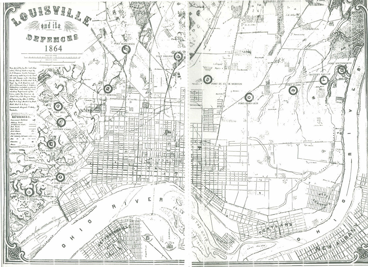
LouisvilleDefences1864.jpg - File Upload Bot (Magnus Manske)

LouisvilleDefenses1865.jpg - File Upload Bot (Magnus Manske)

Rapids of Ohio River by Hutchins.png - Roseohioresident

First Map of Kentucky.png - Duskil

EB9 Louisville - plan.jpg - Bob Burkhardt

The navigator - containing directions for navigating the Monongahela, Allegheny, Ohio and Mississippi rivers; with an ample account of these much admired waters, from the head of the former to the (14781564614).jpg - SteinsplitterBot

The wilderness trail; or, The ventures and adventures of the Pennsylvania traders on the Allegheny path, with some new annals of the Old West, and the records of some strong men and some bad ones (14594839638).jpg - Fæ

Aerial view of Falls of the Ohio and Locks and Dam No 41 circa 1930s or 1940s.jpg - William Alden

Diagram of Falls of the Ohio and Portland Canal in 1916.jpg - Natus37

NIE 1905 Louisville.jpg - Bob Burkhardt

Bird's eye view of Louisville, Kentucky 1876. LOC 73693416.jpg - Fæ
Map of Jefferson County, Kentucky - showing the names of property holders, division lines of farms, position of houses, churches, school-houses, roads, water-courses, distances, and the topographical LOC 78694303.tif - Fæ
Plan showing location of drain pipes and sewers in the City of Louisville emptying into the Louisville and Portland Canal - DPLA - b8105e72182da1279572694888beb090.jpg - DPLA bot

99c039 supplement 1876 map showing Portland area (6761345045).jpg - Geo Swan

A Journey in North America, containing a survey of the countries watered by the Mississipi, Ohio, Missouri and other affluing rivers... illustrated by 36 maps, plans, views and divers cuts - by Victor Collot - btv1b530967428 (16 of 40).jpg - Enyavar

Atlas Of The USA 1857 (Louisville and Jeffersonville).jpg - Enyavar

Map of Perryville and Surrounding Country Including Louisville, Frankfort, and Lebanon - NARA - 70652964 (page 1).jpg - US National Archives bot