Wikimedi'Òc
Modes d'emploi

Cet album fait partie des albums
Cet album photos contient les sous-albums suivants :


1781 Rotterdam detail of Chart of the North Sea by John Lodge BPL 14726.png - M2545

Ptolemy. Secunda Asiae tabula.1511.jpg - Geagea

Turquie d'Europe (20731998872).jpg - Ser Amantio di Nicolao

Chart of the Atlantic Ocean, with the British, French, & Spanish settlements in North America, and the West Indies - as also on the coast of Africa (Plate I. Claims of the French in 1756 are colored yellow) (18348544951).jpg - Ser Amantio di Nicolao

Chart of the Atlantic Ocean, with the British, French, & Spanish settlements in North America, and the West Indies - as also on the coast of Africa (18348541541).jpg - Ser Amantio di Nicolao

Nouvelle carte physique, politique & routière de l'Europe - indiquant les grandes voies de communication par mer et par terre (14782815808).jpg - Ser Amantio di Nicolao

Bacon's map of Europe (14782735059).jpg - Ser Amantio di Nicolao

Carte itinéraire de l'Europe indiquant les limites actuelles des etats - dédiée au Roi (14962164325).jpg - Ser Amantio di Nicolao

Carte itinéraire de l'Europe indiquant les limites actuelles des etats - dediée au Roi (14939164186).jpg - Ser Amantio di Nicolao

Europe (14961913325).jpg - Ser Amantio di Nicolao

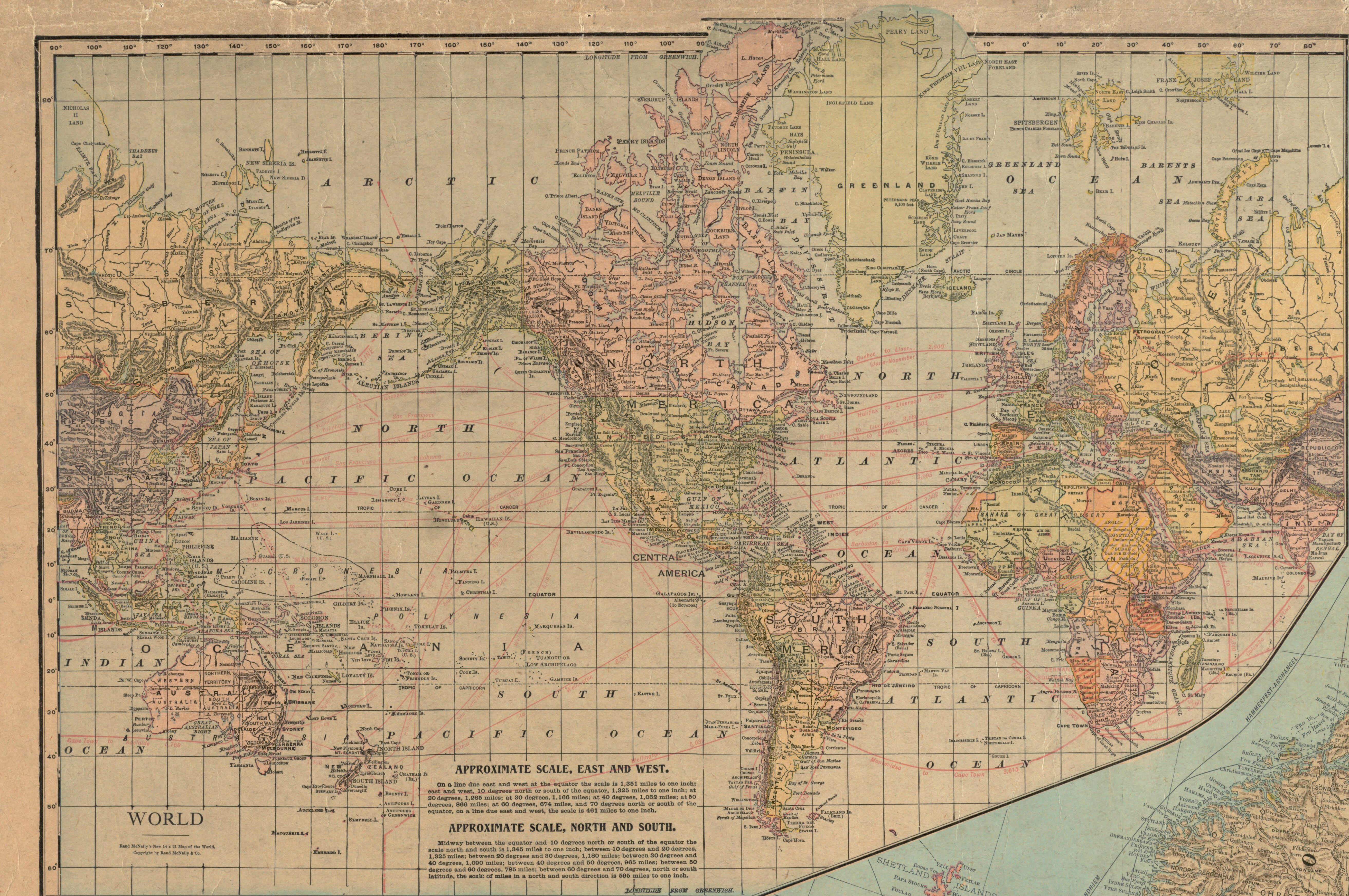
Europe (14775361427).jpg - Ser Amantio di Nicolao

Map of Europe showing countries as established by the Peace Conference at Paris (14773864899).jpg - Ser Amantio di Nicolao

Map of the races of Europe and adjoining portions of Asia and Africa (14960191182).jpg - Ser Amantio di Nicolao

Hammond's enlarged map of Europe of to-day showing boundaries of the new states as determined by the peace conference (14774002657).jpg - Ser Amantio di Nicolao

The new Europe and the new world (14773869119).jpg - Ser Amantio di Nicolao

Rand McNally & Co's new commercial map of Europe (14960195732).jpg - GPinkerton

Tabulae maximae quibus illustrantur terrae veterum in usum scholarum - tabula IV Imperium Romanum (14959492292).jpg - Ser Amantio di Nicolao

The races of Europe (14956744451).jpg - Ser Amantio di Nicolao

Central & Eastern Europe (nationalities) (14956742181).jpg - Ser Amantio di Nicolao

Europa (14540242110).jpg - Ser Amantio di Nicolao
Europe - a pictorial map.tif - Balkanique

Rand McNally & Co's new commercial map of Europe (14960195732) (detail of Schleswig).jpg - GPinkerton

Rand McNally & Co's new commercial map of Europe (14960195732) (detail of Heligoland).jpg - GPinkerton

Rand McNally & Co's new commercial map of Europe (14960195732) (detail of Moresnet, Eupen & Malmedy).jpg - GPinkerton

Rand McNally & Co's new commercial map of Europe (14960195732) (detail of the Saar basin).jpg - GPinkerton

Rand McNally & Co's new commercial map of Europe (14960195732) (detail of Alsace-Lorraine).jpg - GPinkerton

Rand McNally & Co's new commercial map of Europe (14960195732) (detail of Leobschütz).jpg - GPinkerton

Rand McNally & Co's new commercial map of Europe (14960195732) (detail of Upper Silesia).jpg - GPinkerton

Rand McNally & Co's new commercial map of Europe (14960195732) (detail of German cession to Poland).jpg - GPinkerton

Rand McNally & Co's new commercial map of Europe (14960195732) (detail of Danzig).jpg - GPinkerton

Rand McNally & Co's new commercial map of Europe (14960195732) (detail of East Prussia).jpg - GPinkerton

Rand McNally & Co's new commercial map of Europe (14960195732) (detail of Memel).jpg - GPinkerton

Rand McNally & Co's new commercial map of Europe (14960195732) (detail of Austrian cession to Italy).jpg - GPinkerton

Rand McNally & Co's new commercial map of Europe (14960195732) (detail of Klagenfurt).jpg - GPinkerton

Rand McNally & Co's new commercial map of Europe (14960195732) (detail of area disputed by Serb-Croat-Slovene State & Italy).jpg - GPinkerton
Rand McNally & Co's new commercial map of Europe (14960195732) (detail of Transylvania).jpg - GPinkerton

Rand McNally & Co's new commercial map of Europe (14960195732) (detail of Bukowina).jpg - GPinkerton

Rand McNally & Co's new commercial map of Europe (14960195732) (detail of Galicia).jpg - GPinkerton

Rand McNally & Co's new commercial map of Europe (14960195732) (detail of Bulgarian cession to Serbia).jpg - GPinkerton

Rand McNally & Co's new commercial map of Europe (14960195732) (detail of West Thrace).jpg - GPinkerton

Rand McNally & Co's new commercial map of Europe (14960195732) (detail of East Thrace).jpg - GPinkerton

Rand McNally & Co's new commercial map of Europe (14960195732) (detail of South Dobruja).jpg - GPinkerton

Rand McNally & Co's new commercial map of Europe (14960195732) (detail of Finland).jpg - GPinkerton

Rand McNally & Co's new commercial map of Europe (14960195732) (detail of Esthonia).jpg - GPinkerton

Rand McNally & Co's new commercial map of Europe (14960195732) (detail of Latvia).jpg - GPinkerton

Rand McNally & Co's new commercial map of Europe (14960195732) (detail of Lithuania).jpg - GPinkerton

Rand McNally & Co's new commercial map of Europe (14960195732) (detail of Ukrainia).jpg - GPinkerton

Rand McNally & Co's new commercial map of Europe (14960195732) (detail of Daghestan).jpg - GPinkerton

Rand McNally & Co's new commercial map of Europe (14960195732) (detail of Georgia).jpg - GPinkerton

Rand McNally & Co's new commercial map of Europe (14960195732) (detail of Azerbaijan & Armenia).jpg - GPinkerton
Rand McNally & Co's new commercial map of Europe (14960195732) (inset map).jpg - GPinkerton
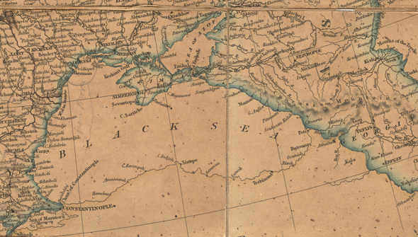
Black Sea (14775361427) (cropped).jpg - Geagea