×

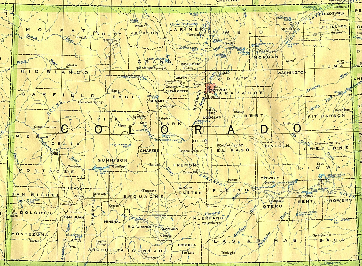
Colorado 90.jpg - Leslie

Colorado 1874.jpg - National Public Domain Archive

Map of explorations and surveys in New Mexico and Utah made under the direction of the Secretary of War by Capt. J. N. Macomb topl. engrs. assisted by C. H. Dimmock. c. engr. 1860 (7537874502).jpg - File Upload Bot (Magnus Manske)

EB1911 Colorado.jpg - Library Guy

Map of 1806-07 Pike Expedition in Colorado.jpg - Viva-Verdi

EB9 Colorado.jpg - Library Guy

Journal of electricity (1920) (14783787413).jpg - SteinsplitterBot

Mission of the North American people, geographical, social, and political (1874) (14574514837).jpg - Fæ

65 of 'New Colorado and the Santa Fe trail ... Illustrated' (11079786264).jpg - Artix Kreiger 2

65 of '(New Colorado and the Santa Fe trail ... Illustrated.)' (11080858014).jpg - Artix Kreiger 2

Map of Colorado Territory, shewing the system of parks (NBY 19379).jpg - Fæ

Map of Southwestern Colorado LOC 2009582400.jpg - Fæ

Map of the Denver & Rio Grande Railway, showing its connections and extensions also the relative position of Denver and Pueblo to all the principal towns and mining regions of Colorado and New Mexico. LOC 98688650.jpg - Fæ

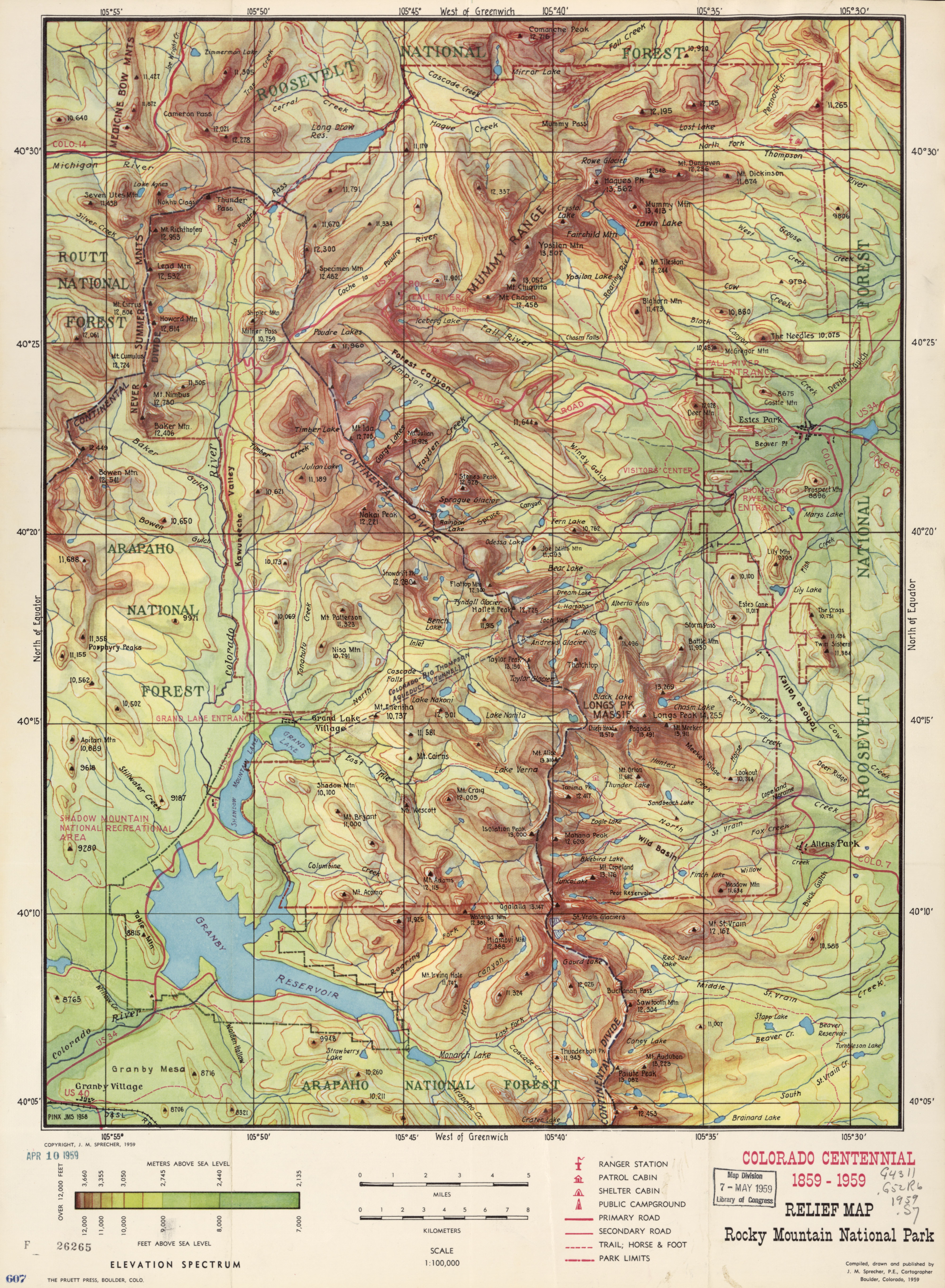
Relief map, Rocky Mountain National Park - Colorado centennial, 1859-1959 LOC 2008627970.tif - Fæ

Relief map, Rocky Mountain National Park - Colorado centennial, 1859-1959 LOC 2008627970.jpg - Fæ

Colton's new sectional map of the State of Colorado. LOC 2006627671.jpg - Fæ

Map of Navajo Areas - NARA - 84785481.jpg - US National Archives bot

Colorado - NARA - 26335494.jpg - US National Archives bot

Colorado River Basin - NARA - 6050554 (page 1).jpg - US National Archives bot

Map of the State of Colorado - NARA - 23812258.jpg - SteinsplitterBot

Map of the State of Colorado - NARA - 23812457.jpg - US National Archives bot

Map of the State of Colorado - NARA - 23812460.jpg - US National Archives bot

Map of the State of Colorado - NARA - 23812463.jpg - US National Archives bot

Map of the State of Colorado - NARA - 23812466.jpg - US National Archives bot

Map of the State of Colorado - NARA - 23812468.jpg - US National Archives bot

Map of the State of Colorado - NARA - 23812469.jpg - US National Archives bot

Map of the State of Colorado - NARA - 23812470.jpg - US National Archives bot

Map of the State of Colorado Showing Lands Designated as Unirrigable by the Secretary of the Interior under the Provisions of the Enlarged Homestead Act - NARA - 23812476.jpg - US National Archives bot

Map of the State of Colorado Showing lands Designated by the Secretary of the Interior, April 27, 1909, under the Enlarged Homestead Act of Feb. 19, 1909 - NARA - 23812472.jpg - US National Archives bot

Map of the State of Colorado Showing Lands Designated by the Secretary of the Interior under the Provisions of the Enlarged Homestead Act - NARA - 23812475.jpg - US National Archives bot

Map of northwestern Colorado - DPLA - 794486fb3a6b406d6cc9cda2ae1089a0.jpg - DPLA bot

Mining tunnel map for Gem Mine, Clear Creek Co - DPLA - 5b8c78682991d443d79d0f75ee7b676d.jpg - DPLA bot

Map of the Lamar Land District - DPLA - 67e5ef8177a8420cf5acd4b7b9d3b249.jpg - DPLA bot

U.S. Reclamation Service Uncompahgre Valley Map - DPLA - 3d9aa9a31f7ac53d597b7bef7f5f06d3.jpg - DPLA bot

Clausthal and vicinity - DPLA - 918541759f9b7efb9fdfd373c949d786.jpg - DPLA bot

Washington County Colorado - DPLA - f1577e562f367f1a2603bd505568354b.jpg - DPLA bot

Bird's eye view of the mountains & plains from "Lookout Mountain" Denver's summer resort. - DPLA - f801f328b9a4624b9e43c03ac16ab73b.jpg - DPLA bot

Territory of New Mexico - DPLA - b23869ff2be039061d8f5bd436ac1381.jpg - DPLA bot

Butterfield Overland Despatch route - colorized - Roy D. Marsh.jpg - Beneathtimp

Map of Colorado del Norte From Mouth Up - NARA - 93193244.jpg - US National Archives bot

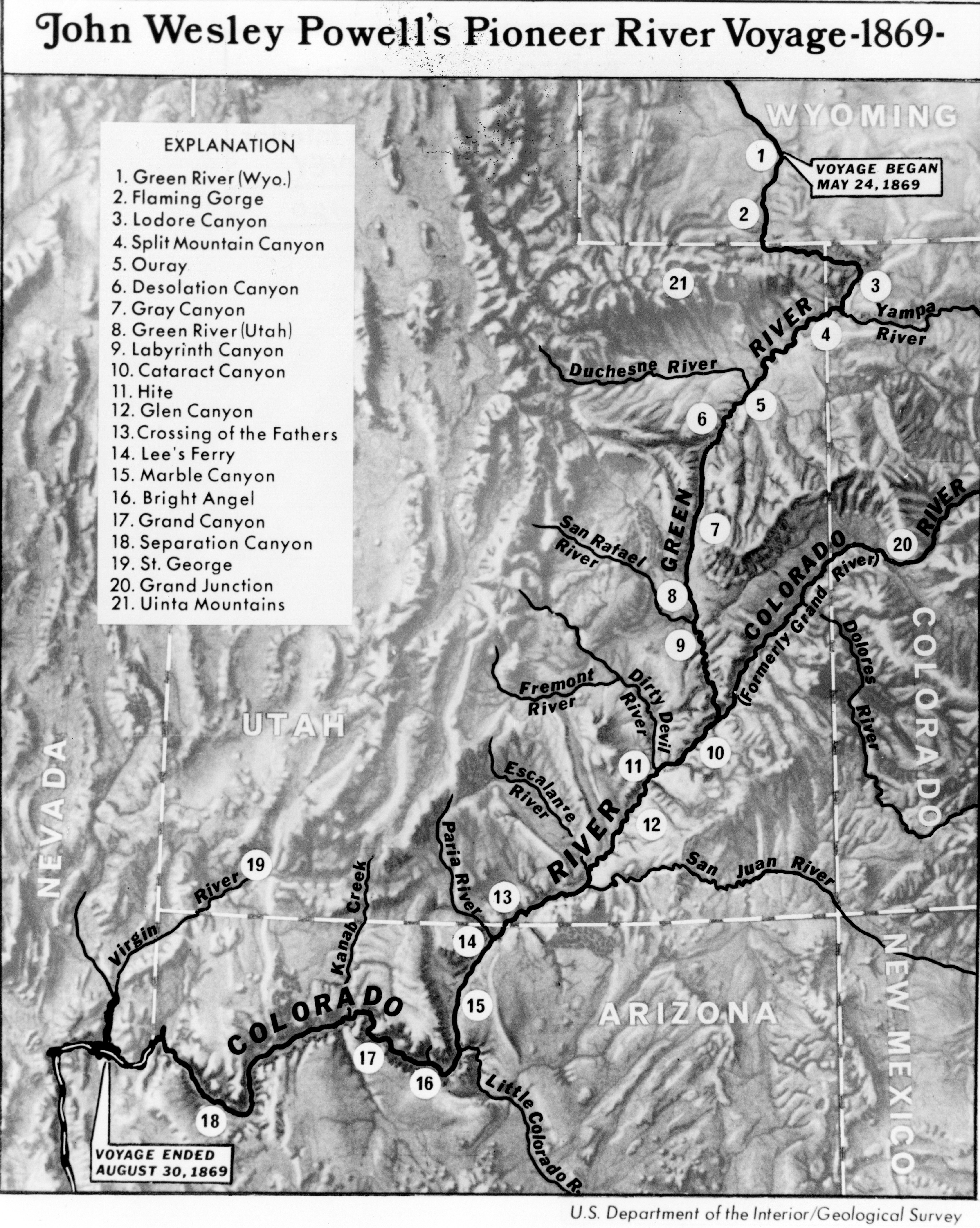
First Powell Expedition 1869 USGS Pioh120.jpg - Broichmore

Map of the irrigated farms north of Denver- tributary to the factories of the Great Western Sugar Co. - DPLA - 0f0b8dc6a467edc0ff7cda8f056e788c (page 1).jpg - DPLA bot

Map of the irrigated farms north of Denver- tributary to the factories of the Great Western Sugar Co. - DPLA - 0f0b8dc6a467edc0ff7cda8f056e788c (page 2).jpg - DPLA bot

Map of the irrigated farms north of Denver- tributary to the factories of the Great Western Sugar Co. - DPLA - 0f0b8dc6a467edc0ff7cda8f056e788c (page 3).jpg - DPLA bot

Map of the irrigated farms north of Denver- tributary to the factories of the Great Western Sugar Co. - DPLA - 0f0b8dc6a467edc0ff7cda8f056e788c (page 4).jpg - DPLA bot

Map of the irrigated farms north of Denver- tributary to the factories of the Great Western Sugar Co. - DPLA - 0f0b8dc6a467edc0ff7cda8f056e788c (page 5).jpg - DPLA bot

Map of the irrigated farms north of Denver- tributary to the factories of the Great Western Sugar Co. - DPLA - 0f0b8dc6a467edc0ff7cda8f056e788c (page 6).jpg - DPLA bot

Map of the irrigated farms north of Denver- tributary to the factories of the Great Western Sugar Co. - DPLA - 0f0b8dc6a467edc0ff7cda8f056e788c (page 7).jpg - DPLA bot

R. R. line survey - DPLA - 08f00f6360365b2aad969fc7e74a238c.jpg - DPLA bot

Colorado- its resources, parks, and prospects as a new field for emigration- with an account of the Trenchara and Costilla estates, in the San Luis Park - DPLA - 7a6d651cd13bec4fcb98c4f075a0d617 (page 2).jpg - DPLA bot

Colorado- its resources, parks, and prospects as a new field for emigration- with an account of the Trenchara and Costilla estates, in the San Luis Park - DPLA - 7a6d651cd13bec4fcb98c4f075a0d617 (page 3).jpg - DPLA bot

Colorado- its resources, parks, and prospects as a new field for emigration- with an account of the Trenchara and Costilla estates, in the San Luis Park - DPLA - 7a6d651cd13bec4fcb98c4f075a0d617 (page 4).jpg - DPLA bot

Crofutt's grip-sack guide of Colorado - DPLA - edd4504b628ac4776230b5174ce498f7 (page 2).jpg - DPLA bot

State of Colorado - DPLA - 3da6ed9611f2631638c231fb984bb649 (page 1).jpg - DPLA bot

State of Colorado - DPLA - 3da6ed9611f2631638c231fb984bb649 (page 2).jpg - DPLA bot

South Pass Station; St. Marys, or, Rocky Ridge Station; Three Crossings Station; Sweet Water Station - DPLA - 2241e5f98cdb6c4e2d1a608242e9043a (page 1).jpg - DPLA bot

South Pass Station; St. Marys, or, Rocky Ridge Station; Three Crossings Station; Sweet Water Station - DPLA - 2241e5f98cdb6c4e2d1a608242e9043a (page 2).jpg - DPLA bot

South Pass Station; St. Marys, or, Rocky Ridge Station; Three Crossings Station; Sweet Water Station - DPLA - 2241e5f98cdb6c4e2d1a608242e9043a (page 3).jpg - DPLA bot

South Pass Station; St. Marys, or, Rocky Ridge Station; Three Crossings Station; Sweet Water Station - DPLA - 2241e5f98cdb6c4e2d1a608242e9043a (page 4).jpg - DPLA bot

South Pass Station; St. Marys, or, Rocky Ridge Station; Three Crossings Station; Sweet Water Station - DPLA - 2241e5f98cdb6c4e2d1a608242e9043a (page 5).jpg - DPLA bot

Ownership and irrigation of lands in the Arkansas River basin of Colorado - DPLA - 52a0a8651698aa35be2236604fa0f3d0 (page 33).jpg - DPLA bot

Biennial report of the forest commissioner of the state of Colorado for the years 1887 and 1888 - DPLA - 05e38019344c8b4fb691e889fffde51e (page 13).jpg - DPLA bot

Map showing the gold lodes on Silver Mountain, Union District, Clear Creek, Co., Colorado Ter. - DPLA - 1eee16106ea1b3d8a95af572b121871f.jpg - DPLA bot

Soil survey of the Arkansas Valley area, Colorado - DPLA - e74950ef0b553f88eeb42ccc7cc36f15 (page 2).jpg - DPLA bot

Soil survey of the Arkansas Valley area, Colorado - DPLA - e74950ef0b553f88eeb42ccc7cc36f15 (page 3).jpg - DPLA bot

Post route map of the State of Colorado - DPLA - 3ba83e902fd4fbb9caf132ed9c8518ac.jpg - DPLA bot

Central Colorado, Atlas Sheet No. 61b - DPLA - e102f89757c8e1a942b33d30f625e7e3.jpg - DPLA bot

Sand Creek Massacre marked on 1890 USGS Kit Carson quadrangle.jpg - Jengod

Image from page 116 of "A biological survey of Colorado" (1911) (19758148394).jpg - Geo Swan

Map of Plains Area - NARA - 122206717 (page 1).jpg - US National Archives bot
❮
❯


