Wikimedi'Òc
Modes d'emploi

Cet album fait partie des albums
Cet album photos contient les sous-albums suivants :


Old baton rouge.jpg - Kkmurray

Baton Rouge Region 1863.jpg - Kkmurray

PlanDuBatonRougeCollot.jpg - Infrogmation
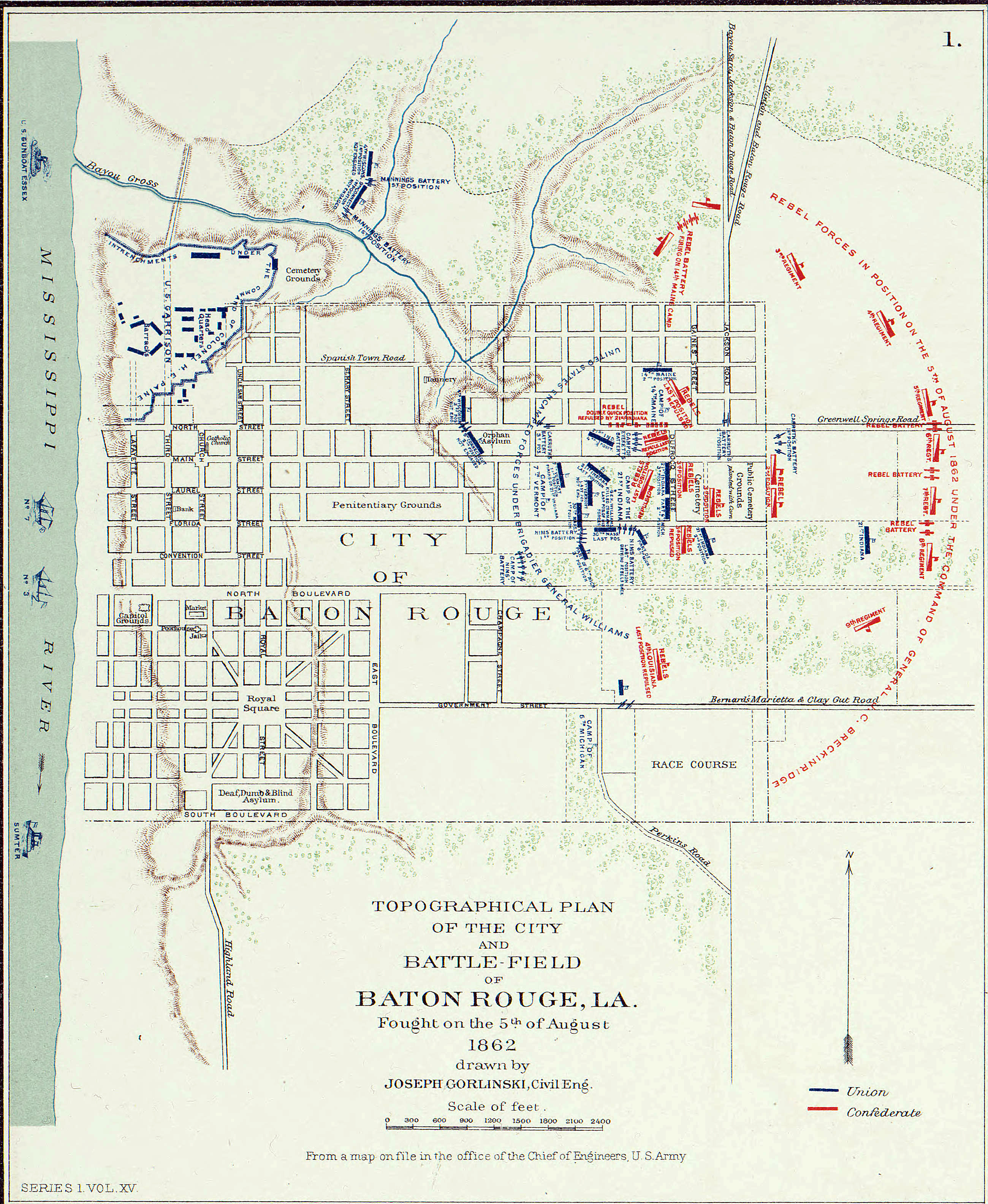
Plan de Baton Rouge en 1862.jpg - Scewing

Plan of Baton Rouge Beauregard Town 1806.jpg - Infrogmation

Plan of the Fort at Baton Rouge 1814 Lafon.jpg - Infrogmation

1861 BatonRouge detail of Birds eye view of Louisiana, Mississippi, Alabama and part of Florida by Bachmann BPL 11055 3.png - M2545
Lh000953.gif - Isinbill
Lh000940.gif - Isinbill
Lh000917.gif - Isinbill

Mapa de las locaciones del Distrito de Baton Rouge LOC 2013585047.jpg - Fæ

Florida Occidental, Distrito de Baton Rouge, año de 1805. LOC 2013586080.jpg - Fæ

Four plats on the Mississippi River at Baton Rouge 1805. LOC 2013585068.jpg - Fæ
(Map of Baton Rouge, Spanish West Florida) LOC 2012593388.tif - Fæ

(Map of Baton Rouge, Spanish West Florida) LOC 2012593388.jpg - Fæ

Map of Manchac and Baton Rouge District, Spanish West Florida. LOC 2012593391.jpg - Fæ

Plan of Baton Rouge and adjoining properties on the Mississippi River. LOC 2013586081.jpg - Fæ

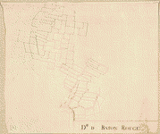
Baton-Rouge and Vicinity - NARA - 109182168.jpg - US National Archives bot

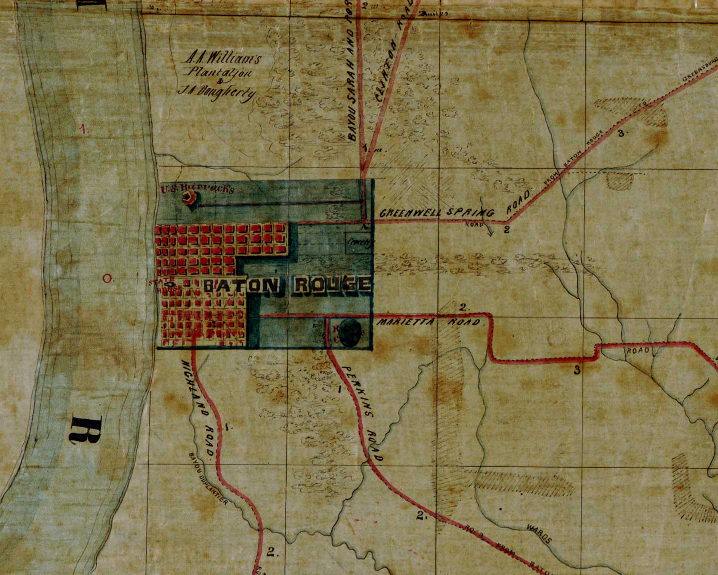
Baton Rouge, LA - NARA - 109182170.jpg - US National Archives bot
Baton Rouge 1790s Map.tif - Infrogmation
Plan of the Baton Rouge as it as been formerly built (fbar) the 20th 1813 LOC 2012588002.tif - Fæ

Plan of the Baton Rouge as it as been formerly built (fbar) the 20th 1813 LOC 2012588002.jpg - Fæ

Plan Of Fort Baton Rouge. Collot, George Henri Victor ; Tardieu, P.F. 1796.jpg - Justinoguerra

A Journey in North America - Plan of Fort Baton Rouge.jpg - Enyavar