Wikimedi'Òc
Modes d'emploi

Cet album fait partie des albums


Fotothek df rp-c 0840036 Bad Muskau. Papierfabrik und Umgebung, Ausschnitt aus- Stadtplan von Muskau.jpg - FotothekBot

Fotothek df rp-c 0840040 Bad Muskau. Plan des Muskauer Parks, 1865 (Nr. 8 Gärtnerei, Nr. 9 Mühle)).jpg - FotothekBot

Fotothek df rp-c 0840042 Bad Muskau. Plan des Muskauer Parks (Nr. 1 Orangerie, Nr. 2 ehem. Ökonomie, Nr.jpg - FotothekBot

Fotothek df rp-c 0970018 Bad Muskau. Plan des Muskauer Parks, 1938, aus, Graf von Arnim-Boelke 1979.jpg - FotothekBot

Fotothek df rp-c 0990011 Bad Muskau-Köbeln. Atlas von Schlesien, Kreis Rothenburg, Verlag C. Flemming-Glo.jpg - FotothekBot

Fotothek df rp-c 1020004 Bad Muskau. Oberlausitzkarte, Schenk, 1759.jpg - FotothekBot

Fotothek df rp-d 0250038 Bad Muskau-Köbeln. Meßtischblatt, Sekt. Muskau, 1940.jpg - FotothekBot

Fotothek df rp-d 0250040 Bad Muskau-Köbeln. Meßtischblatt, Sekt. Muskau, 1940.jpg - FotothekBot

Fotothek df rp-d 0250042 Bad Muskau. Meßtischblatt, Sekt. Muskau, 1940.jpg - FotothekBot

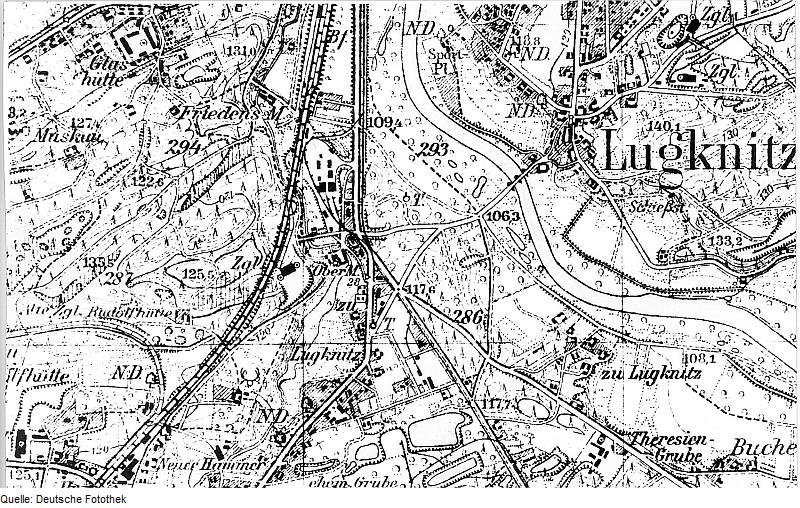
Fotothek df rp-d 0250044 Bad Muskau-Berg. Meßtischblatt, Sekt. Muskau, 1940.jpg - FotothekBot
Fotothek df rp-d 0250048 Bad Muskau. Meßtischblatt, Sekt. Muskau, 1940.jpg - FotothekBot

Fotothek df rp-d 0250054 Bad Muskau. Meßtischblatt, Sekt. Muskau, 1940.jpg - FotothekBot

Fotothek df rp-d 0970050 Bad Muskau-Köbeln. Topographische Karte vom Preußischen Staate, Bl. 234 Muskau,.jpg - FotothekBot

Fotothek df rp-d 0970052 Bad Muskau. Topographische Karte vom Preußischen Staate, Bl. 234 Muskau, aufgen..jpg - FotothekBot

Fotothek df rp-j 0070041 Bad Muskau. Oberlausitzkarte, Schenk, 1759.jpg - FotothekBot