Wikimedi'Òc
Modes d'emploi

Cet album fait partie des albums
Cet album photos contient les sous-albums suivants :


PicNoupHead.jpg - Islandhopper

Cliffs at Arbroath looking south.jpg - Kueller
Crossbeddingbressay.jpg - MacRusgail

Jedburgh unconformity, close up 1.jpg - Dave souza

Balvraid Quarry - geograph.org.uk - 4373.jpg - GeographBot

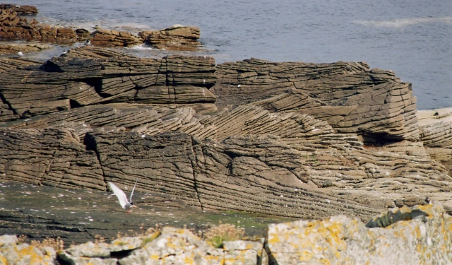
Bogany Point - geograph.org.uk - 4801.jpg - GeographBot

Chapelford Bridge - geograph.org.uk - 6901.jpg - GeographBot
Old Red Sandstone at Meikle Poo Craig - geograph.org.uk - 157662.jpg - GeographBot

Gardenstown Old Red Sandstone - geograph.org.uk - 178600.jpg - GeographBot

Maw Skelly - geograph.org.uk - 195874.jpg - GeographBot

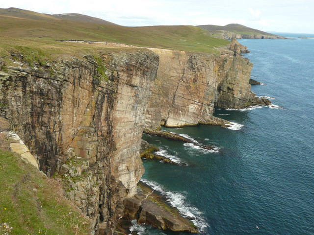
Auchmithie Cliffs - geograph.org.uk - 215876.jpg - GeographBot

Cliff Face - geograph.org.uk - 215981.jpg - GeographBot

Devonian Rocks - geograph.org.uk - 215986.jpg - GeographBot

Maw Skellie, Auchmithie - geograph.org.uk - 363545.jpg - GeographBot

Aspens on Dunnet Head - geograph.org.uk - 374187.jpg - GeographBot

Crossbedding - geograph.org.uk - 395300.jpg - GeographBot

The Coves - geograph.org.uk - 434475.jpg - GeographBot

Boulders under cliffs, Auchmithie - geograph.org.uk - 527405.jpg - GeographBot

Old Red Sandstone by the River Findhorn - geograph.org.uk - 793469.jpg - GeographBot

Coast at Geanies - geograph.org.uk - 819423.jpg - GeographBot

Pennan Harbour seen from the carpark - geograph.org.uk - 820227.jpg - GeographBot

Rocky shore west of Tarbat Ness - geograph.org.uk - 871781.jpg - GeographBot
Round Point taken from Hamar - geograph.org.uk - 937817.jpg - GeographBot

Auchmithie pebble beach - geograph.org.uk - 1096212.jpg - GeographBot

Brown Muir - geograph.org.uk - 1199011.jpg - GeographBot

Tarbat Ness lighthouse - geograph.org.uk - 1267546.jpg - GeographBot
Kaim of Mathers Castle and Rock Hall Fishing Station - geograph.org.uk - 1283471.jpg - GeographBot

East Comb and Auld Mains - geograph.org.uk - 1458664.jpg - GeographBot

East Comb - geograph.org.uk - 1465647.jpg - GeographBot

Birsi Geo near Snelsetter - geograph.org.uk - 1533753.jpg - GeographBot

Looking west along the ord cliffs - geograph.org.uk - 1570326.jpg - GeographBot

Special reports on the mineral resources of Great Britain (1915) (14770745321).jpg - Fæ

Siluria (Page 257) BHL47012525.jpg - Fæ

Fowlsheughclifftonorthsea.JPG - AmaryllisGardener

2018 07 10 Schottland (21).jpg - Bewahrerderwerte

The oil-shales of the Lothians geological map.png - Kognos

Sandstone (detail) - geograph.org.uk - 2838810.jpg - GeographBot

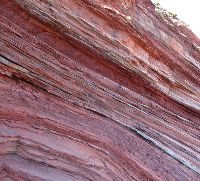
Upper Old Red sandstone exposure, Denholm Dean - geograph.org.uk - 3035324.jpg - GeographBot

Old Red Sandstone - geograph.org.uk - 3039876.jpg - GeographBot

The View from Red Head - geograph.org.uk - 3167943.jpg - GeographBot

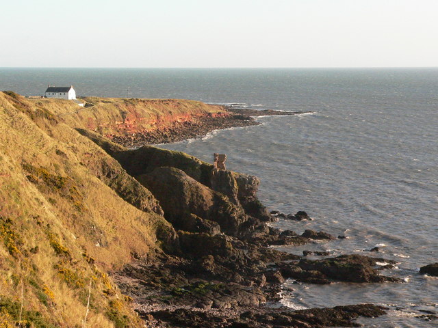
Cowper's Craig - geograph.org.uk - 434501.jpg - GeographBot