Wikimedi'Òc
Modes d'emploi

Cet album fait partie des albums
Cet album photos contient les sous-albums suivants :


2013-10-08 12 35 56 Ruby Dome viewed from Lamoille Highway.JPG - Famartin

2013-10-08 12 41 40 Sign blades at the intersection of Lamoille Highway and Lamoille Canyon Road.JPG - Famartin

2013-10-11 13 15 18 Lamoille Canyon SnoTel.JPG - Famartin

2013-10-11 13 16 20 Lamoille Canyon SnoTel.JPG - Famartin

2013-10-11 13 17 10 Lamoille Canyon SnoTel.jpg - Famartin

2013-10-11 13 17 55 Lamoille Canyon SnoTel.JPG - Famartin

2013-10-11 13 18 07 Lamoille Canyon SnoTel.JPG - Famartin

2013-10-11 13 19 07 Lamoille Canyon SnoTel.JPG - Famartin

2013-10-11 13 21 19 Lamoille Canyon SnoTel snow pillow.JPG - Famartin

2013-10-11 13 19 29 Lamoille Canyon SnoTel.JPG - Famartin

2013-10-11 13 19 15 Lamoille Canyon SnoTel.JPG - Famartin

2013-10-11 13 21 49 Lamoille Canyon SnoTel temperature and snow depth sensors.JPG - Famartin

2013-10-11 13 21 55 Lamoille Canyon SnoTel snow pillow.JPG - Famartin

2013-10-14 12 33 44 National Weather Service Cooperative Observer site.JPG - Famartin

2013-10-14 12 41 47 National Weather Service mostly obsolete paper form B-91 Record of Climatological Observations for Cooperative Observers.JPG - Famartin
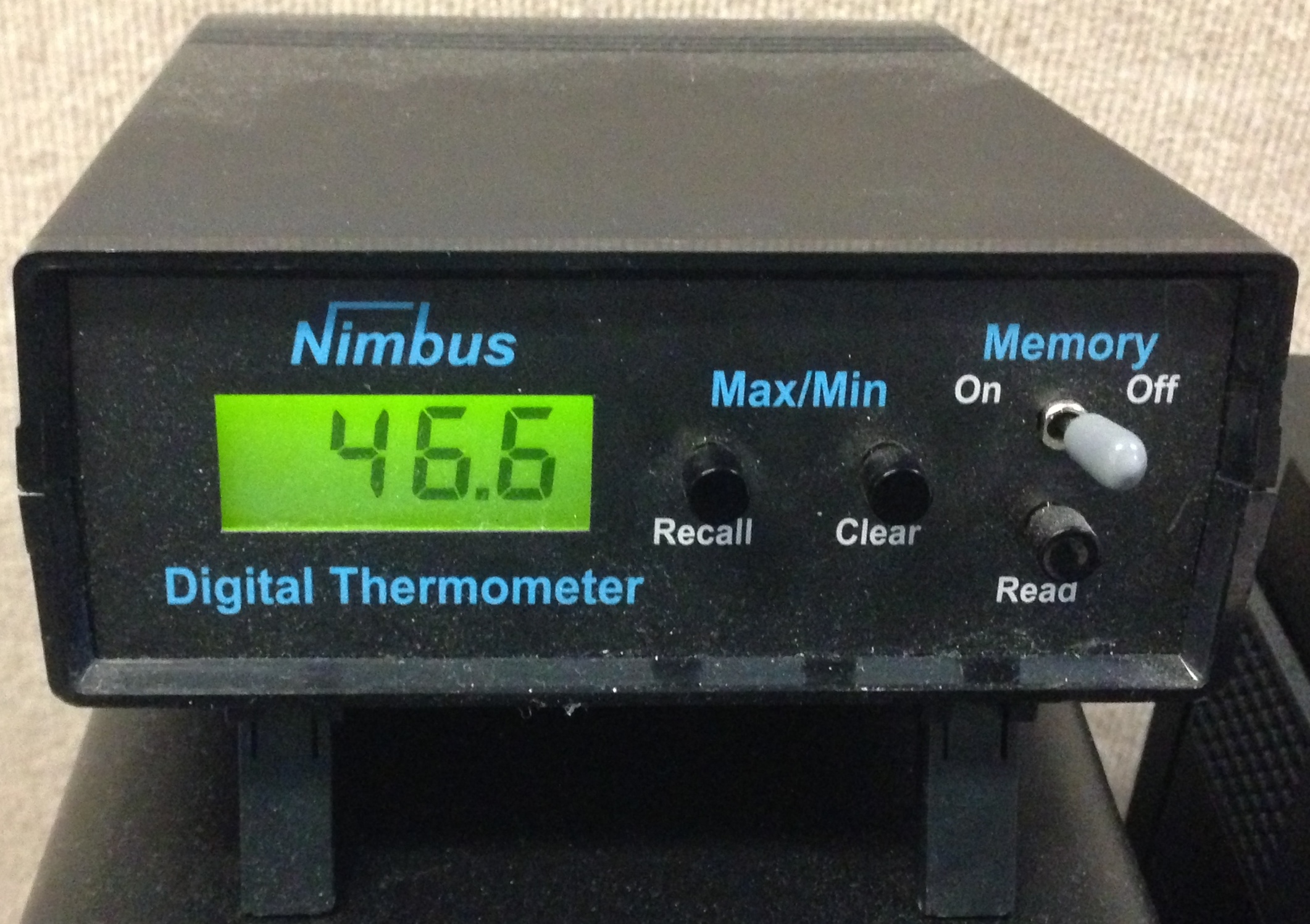
2013-10-14 11 06 12 Nimbus electronic thermometer display.JPG - Pittigrilli

2013-10-14 12 27 14 National Weather Service snow board and snow measuring stick.JPG - Famartin

2013-10-14 12 28 30 National Weather Service Standard Rain Gauge with funnel off and inner tube and measuring stick inside.JPG - Famartin

2013-10-14 12 27 21 Nimbus electronic temperature sensor housing.JPG - Famartin

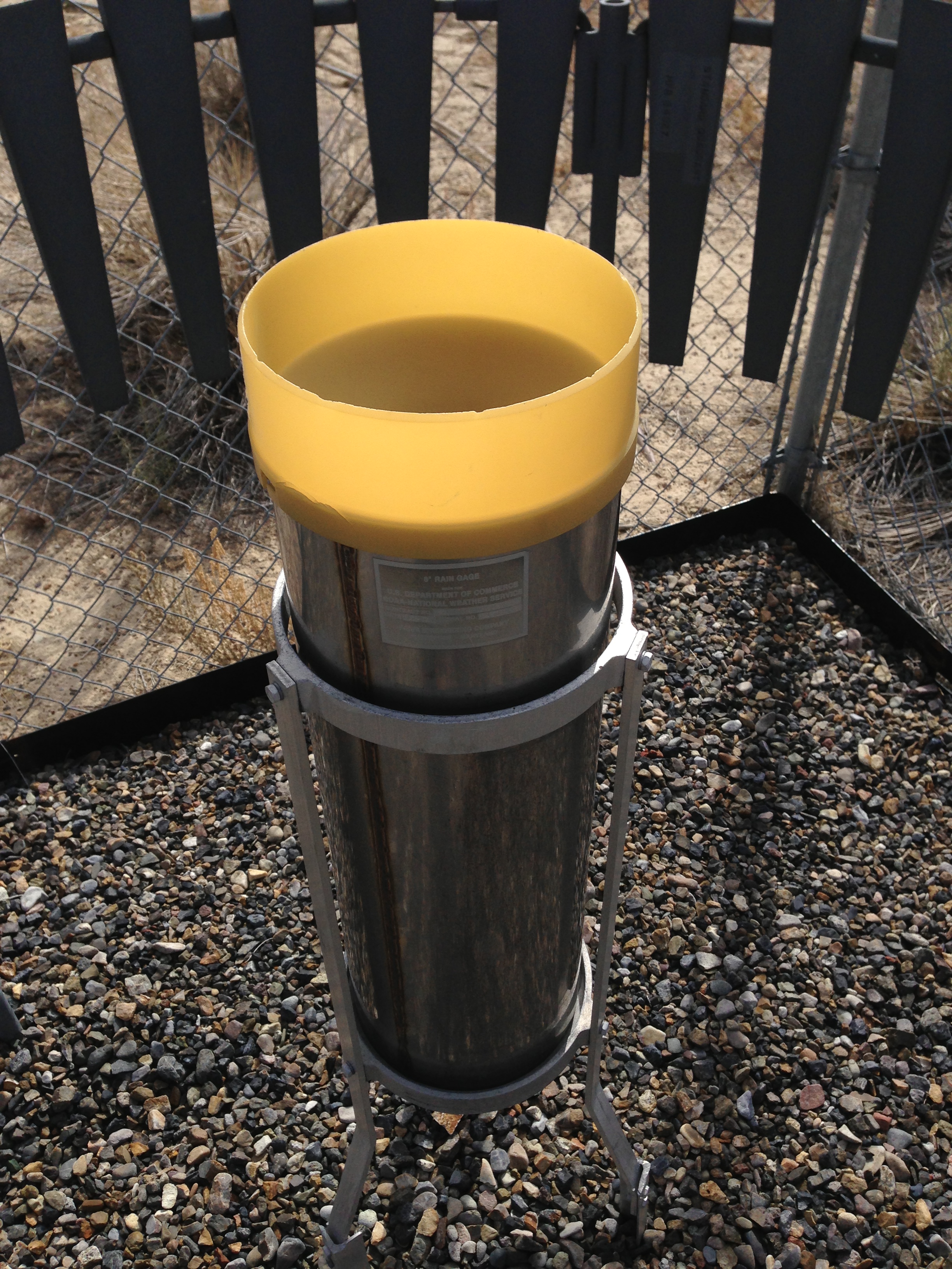
2013-10-14 12 27 56 National Weather Service Standard Rain Gauge with funnel on.JPG - Famartin
2013-10-14 12 27 49 National Weather Service Standard Rain Gauge.JPG - Famartin

2013-10-14 13 53 18 Fischer & Porter recording precipitation gauge.JPG - Famartin

2013-10-14 13 58 31 Nimbus temperature sensor interior.JPG - Famartin

2013-10-14 16 01 24 Radiosonde ready for release.JPG - Famartin

2013-10-14 16 05 17 Radiosonde Surface Observing Instrumentation System.JPG - Famartin

2013-10-14 15 58 39 Radiosonde Surface Observing Instrumentation System display.JPG - Famartin

2013-10-14 16 00 23 Upper Air (weather balloon) inflation building.JPG - Famartin

2013-10-14 16 03 08 Weather balloon just after release.JPG - Famartin

2013-10-14 16 02 16 Weather balloon ready for release.JPG - Famartin

2013-10-11 13 31 56 Aspens along Lamoille Canyon Road.JPG - Famartin

2013-10-11 13 31 40 Aspens along Lamoille Canyon Road.JPG - Famartin

2013-10-01 18 20 27 National Weather Service Forecast Office in Elko, Nevada.JPG - Famartin

2013-10-20 14 18 30 Cotton Region Shelter containing Maximum and Minimum Thermometers viewed from the north with the door closed.JPG - Famartin

2013-10-20 14 18 17 Cotton Region Shelter containing Maximum and Minimum Thermometers viewed from the southeast.JPG - Famartin

2013-10-20 14 17 55 Cotton Region Shelter containing Maximum and Minimum Thermometers viewed from the south.JPG - Famartin

2013-10-20 14 20 39 Anemometer used to measure for wind movement at an evaporation pan.JPG - Famartin

2013-10-20 14 18 47 Cotton Region Shelter containing Maximum and Minimum Thermometers viewed from the north with the door open.JPG - Famartin

2013-10-20 14 19 03 Maximum and Minimum Thermometers within a Cotton Region Shelter.jpg - Famartin

2013-10-20 14 21 47 Entrance sign at Ruby Lake National Wildlife Refuge.JPG - Famartin

2013-10-20 15 33 57 View southeast from the south end of Elko County Route 717 (Jiggs Road) towards the west end of Elko County Route 718 (Harrison Pass Road).JPG - Famartin

2013-10-20 15 33 13 View northwest from the west end of Elko County Route 718 (Harrison Pass Road) towards the south end of Elko County Route 717 (Jiggs Road).JPG - Famartin

2013-10-20 15 34 24 Panorama southeast from the south end of Elko County Route 717 (Jiggs Road) towards the west end of Elko County Route 718 (Harrison Pass Road).JPG - Famartin

2013-10-20 15 37 09 View north along Elko County Route 717 (Jiggs Road).JPG - Famartin

2013-10-20 15 37 03 View south along Elko County Route 717 (Jiggs Road).JPG - Famartin

2013-10-20 15 37 30 Panorama southeast along Elko County Route 717 (Jiggs Road) towards Harrison Pass.JPG - Famartin
2013-10-20 15 43 18 Helecoptor transporting cargo near Jiggs, Nevada.JPG - Famartin

2013-10-20 15 42 11 View north at the end of Elko County Route 717 (Jiggs Road) towards Nevada State Route 228.JPG - Famartin

2013-10-20 15 43 53 View north from the south end of Nevada State Route 228.JPG - Famartin

2013-10-20 15 44 55 View north along Nevada State Route 228 just south of Jiggs.JPG - Famartin

2013-10-20 15 47 12 View south along Nevada State Route 228 entering Jiggs.JPG - Famartin

2013-10-20 15 46 04 View north along Nevada State Route 228 in Jiggs.JPG - Famartin

2013-10-20 15 53 37 View south along Nevada State Route 228 north of Jiggs.JPG - Famartin

2013-10-20 15 58 19 View of Ruby Dome from Nevada State Route 228.JPG - Famartin

2013-10-20 15 49 10 View south along Nevada State Route 228 just north of Jiggs.JPG - Famartin

2013-10-20 16 05 36 View north down the South Fork Humboldt River from Nevada State Route 228.JPG - Famartin

2013-10-20 16 05 16 View south up the South Fork Humboldt River from Nevada State Route 228.JPG - Famartin

2013-10-20 16 02 38 View north along Nevada State Route 228 just south of the South Fork Humboldt River.JPG - Famartin

2013-10-20 16 12 34 View south along Nevada State Route 228 north of South Fork Reservoir.JPG - Famartin

2013-10-20 16 07 19 View north along Nevada State Route 228 just north of the South Fork Humboldt River.JPG - Famartin

2013-10-20 16 06 55 View south along Nevada State Route 228 just north of the South Fork Humboldt River.JPG - Famartin

2013-10-20 16 22 59 View south just south of the north end of Nevada State Route 228 where it intersects Nevada State Route 227.JPG - Famartin

2013-10-20 16 15 21 View north along Nevada State Route 228 north of South Fork Reservoir.JPG - Famartin

2013-10-20 16 21 41 View north along Nevada State Route 228 in Spring Creek.JPG - Famartin

2013-10-20 16 26 29 View south from the north end of Nevada State Route 228 where it intersects Nevada State Route 227.JPG - Famartin

2013-10-20 16 25 10 View north just south of the end of Nevada State Route 228 where it intersects Nevada State Route 227.JPG - Famartin

2013-10-20 13 01 28 View north at the end of Nevada State Route 228 where it intersects Nevada State Route 227.JPG - Famartin

2013-10-06 13 27 37 Mileage to destinations sign on Lamoille Canyon Road.JPG - Famartin

2013-10-06 13 34 56 No Winter Maintenance sign on Lamoille Canyon Road.JPG - Famartin

2013-10-06 13 12 43 View of Ruby Dome from Nevada State Route 227 in Spring Creek, Nevada.JPG - Famartin

2013-10-06 13 18 49 View of Ruby Dome from Nevada State Route 227 in Spring Creek, Nevada.JPG - Famartin

2013-10-06 14 36 48 Sign for Terraces Picnic Site.JPG - Famartin

2013-10-06 14 49 07 Treasures of Lamoille Canyon Nature Trail broshure front cover.JPG - Famartin

2013-10-06 14 49 22 Treasures of Lamoille Canyon Nature Trail broshure pages 2 and 3.JPG - Famartin

2013-10-06 14 49 46 Treasures of Lamoille Canyon Nature Trail broshure pages 9 and 10.JPG - Famartin

2013-10-06 14 49 38 Treasures of Lamoille Canyon Nature Trail broshure pages 7 and 8.JPG - Famartin

2013-10-06 14 49 30 Treasures of Lamoille Canyon Nature Trail broshure pages 4 and 5.JPG - Famartin

2013-10-06 14 49 56 Treasures of Lamoille Canyon Nature Trail broshure pages 11 and 12.JPG - Famartin

2013-10-06 14 50 04 Treasures of Lamoille Canyon Nature Trail broshure back page.JPG - Famartin

2013-10-06 14 38 48 Panorama from the parking lot at Terraces Picnic Site.JPG - Famartin

2013-10-11 13 12 55 Aspens near the Lamoille Number 3 SnoTel.JPG - Famartin

2013-10-11 13 25 39 Aspens near the Lamoille Number 3 SnoTel.JPG - Famartin

2013-10-11 13 25 31 Aspens near the Lamoille Number 3 SnoTel.JPG - Famartin

2013-10-11 13 25 22 Aspens near the Lamoille Number 3 SnoTel.JPG - Famartin

2013-10-11 13 29 31 Aspen grove along Lamoille Canyon Road below the nature trail.JPG - Famartin

2013-10-11 13 29 40 Aspen grove along Lamoille Canyon Road below the nature trail.JPG - Famartin

2013-10-11 13 29 36 Aspen grove along Lamoille Canyon Road below the nature trail.JPG - Famartin

2013-10-11 13 29 58 Panorama of an Aspen grove along Lamoille Canyon Road below the nature trail.JPG - Famartin

2013-10-11 13 37 14 View up Thomas Canyon towards Mount Fitzgerald from the entrance to Thomas Canyon Campground.JPG - Famartin

2013-10-11 13 35 47 Aspens just east of the entrance to Thomas Canyon in Lamoille Canyon.JPG - Famartin

2013-10-11 13 42 30 Sign at the entrance to Camp Lamoille.JPG - Famartin

2013-10-06 14 29 58 Nature's Sponge descriptive sign at the Watershed Overlook in Lamoille Canyon.JPG - Famartin

2013-10-06 14 22 09 Ruby Mountains Wilderness descriptive sign at the Roads End trailhead in Lamoille Canyon.JPG - Famartin

2013-10-06 14 31 57 Avalanche Chute descriptive sign at the Watershed Overlook in Lamoille Canyon.JPG - Famartin

2013-10-06 14 37 03 View up Lamoille Creek from the Terraces Picnic Site.JPG - Famartin

2013-10-06 15 14 46 Sign for Thomas Canyon Campground.JPG - Famartin

2013-10-06 15 22 33 View down Lamoille Creek above Lamoille Falls.JPG - Famartin

2013-10-06 15 26 16 View down Lamoille Canyon from Moraine Overlook.JPG - Famartin

2013-10-06 15 26 27 View up Right Fork Lamoille Canyon from Moraine Overlook.JPG - Famartin

2013-10-06 15 23 30 Panorama from south to west to north near Lamoille Creek above Lamoille Falls.JPG - Famartin

2013-10-06 15 28 55 Lamoille Canyon acquisition and dedication plaque at Glacier Overlook.JPG - Famartin

2013-10-06 15 28 37 What's A Glacier? descriptive sign at the Glacier Overlook in Lamoille Canyon.JPG - Famartin

2013-10-06 15 28 45 Lamoille Glaciers descriptive sign at the Glacier Overlook in Lamoille Canyon.JPG - Famartin

2013-10-06 15 38 38 Naming of the Ruby Mountains descriptive sign at the Entrance Overlook in Lamoille Canyon.JPG - Famartin

2013-10-06 15 39 02 Welcome to Lamoille Canyon descriptive sign at the Entrance Overlook.JPG - Famartin

2013-10-06 15 38 57 National Forest Scenic Byway descriptive sign at the Entrance Overlook in Lamoille Canyon.JPG - Famartin

2013-10-06 15 44 37 View up Lamoille Creek at the Power House Picnic Site.JPG - Famartin

2013-10-06 15 43 17 Power House Picnic Site sign.JPG - Famartin

2013-10-06 15 44 59 View down Lamoille Creek at the Power House Picnic Site.JPG - Famartin

2013-10-06 15 49 48 Cottonwoods at the Power House Picnic Site in Lamoille Canyon.JPG - Famartin

2013-10-06 15 48 48 Cottonwoods at the Power House Picnic Site in Lamoille Canyon.JPG - Famartin

2013-10-06 15 47 35 Cottonwoods at the Power House Picnic Site in Lamoille Canyon.JPG - Famartin

2013-10-07 18 26 53 Sunset in Elko, Nevada.JPG - Famartin

2013-10-06 15 52 02 Cottonwoods along Lamoille Creek at the entrance of Lamoille Canyon.JPG - Famartin

2013-10-06 15 49 52 Cottonwoods at the Power House Picnic Site in Lamoille Canyon.JPG - Famartin

2013-10-08 14 35 20 View up Lamoille Canyon from the Roads End trailhead.JPG - Famartin

2013-10-08 14 38 38 Panorama from north to east to south from the Road End trailhead in Lamoille Canyon.JPG - Famartin

2013-10-08 14 38 19 Panorama south to west to north from the Roads End trailhead in Lamoille Canyon.JPG - Famartin

2013-10-08 14 44 31 Avalanche chute near the Watershed Overlook in Lamoille Canyon.JPG - Famartin

2013-10-08 14 52 06 View up Thomas Canyon towards Mount Fitzgerald from Lamoille Canyon Road near Thomas Canyon Campground.JPG - Famartin

2013-10-08 14 46 31 Full 360 degree panorama from the Watershed Overlook in Lamoille Canyon.JPG - Famartin

2013-10-08 14 54 39 Panorama south to west to north from the entrance to Thomas Canyon Campground in Lamoille Canyon.JPG - Famartin

2013-10-08 14 53 55 Chokecherry at Thomas Canyon Campground in Lamoille Canyon.JPG - Famartin

2013-10-08 14 55 13 View of the wall of Lamoille Canyon north of Thomas Canyon Campground.JPG - Famartin

2013-10-08 14 54 58 Panorama north to east to south from the entrance to Thomas Canyon Campground in Lamoille Canyon.JPG - Famartin

2013-10-08 14 55 09 View of the wall of Lamoille Canyon northeast of Thomas Canyon Campground.JPG - Famartin

2013-10-08 14 54 59 Full 360 degree panorama from the entrance to Thomas Canyon Campground in Lamoille Canyon.JPG - Famartin

2013-10-08 15 02 57 View up Right Fork Lamoille Canyon from Glacier Overlook in Lamoille Canyon.JPG - Famartin

2013-10-08 14 55 30 View up Thomas Canyon towards Mount Fitzgerald from the entrance to Thomas Canyon Campground.JPG - Famartin

2013-10-08 15 01 34 Panorama from Moraine Overlook in Lamoille Canyon.JPG - Famartin

2013-10-08 15 09 16 View up Lamoille Canyon from Entrance Overlook.JPG - Famartin

2013-10-08 15 03 08 View down Lamoille Canyon from Glacier Overlook.JPG - Famartin

2013-10-08 15 10 28 View down Lamoille Canyon from Entrance Overlook.JPG - Famartin

2013-10-08 15 12 44 View up Lamoille Creek from Lamoille Canyon Road near the entrance to Lamoille Canyon.JPG - Famartin

2013-10-08 15 13 31 View down Lamoille Creek from Lamoille Canyon Road near the entrance to Lamoille Canyon.JPG - Famartin

2013-10-08 15 10 30 Full 360 degree panorama from Entrance Overlook in Lamoille Canyon.JPG - Famartin

2013-10-11 12 48 52 View up Right Fork Lamoille Canyon from Glacier Overlook in Lamoille Canyon.JPG - Famartin

2013-10-11 12 50 50 View up Lamoille Canyon Road near Lamoille Falls.JPG - Famartin

2013-10-11 12 49 31 Panorama from Glacier Overlook in Lamoille Canyon.JPG - Famartin

2013-10-11 13 12 27 Aspen grove near the Lamoille Number 3 SnoTel.JPG - Famartin

2013-10-14 18 03 26 National Weather Service Forecast Office in Elko, Nevada.JPG - Famartin

2013-10-14 18 03 06 Sunset in Elko, Nevada.JPG - Famartin

2013-10-15 13 21 54 Road leading into Power House Picnic Site in Lamoille Canyon.JPG - Famartin

2013-10-15 13 22 25 View up Lamoille Creek in Power House Picnic Site.JPG - Famartin

2013-10-15 13 24 13 Understory bushes along Lamoille Creek at Power House Picnic Site in Lamoille Canyon, Nevada.jpg - Famartin

2013-10-15 13 24 40 Aspen and dogwood at Power House Picnic Site in Lamoille Canyon.JPG - Famartin

2013-10-15 13 28 16 View up Lamoille Creek in Power House Picnic Site.JPG - Famartin

2013-10-15 13 26 56 View up Lamoille Creek in Power House Picnic Site.JPG - Famartin

2013-10-15 13 24 53 View up Lamoille Creek in Power House Picnic Site.JPG - Famartin

2013-10-15 13 31 44 Aspen and dogwood at Power House Picnic Site in Lamoille Canyon.JPG - Famartin

2013-10-15 13 33 40 View up Lamoille Creek in Power House Picnic Site.JPG - Famartin

2013-10-15 13 28 54 Understory bushes along Lamoille Creek at Power House Picnic Site in Lamoille Canyon, Nevada.jpg - Famartin

2013-10-15 13 34 01 Dogwoods at Power House Picnic Site in Lamoille Canyon, Nevada.jpg - Famartin

2013-10-15 13 35 31 Dogwoods along Lamoille Creek at Power House Picnic Site in Lamoille Canyon, Nevada.jpg - Famartin

2013-10-15 13 35 39 Dogwoods along Lamoille Creek at Power House Picnic Site in Lamoille Canyon, Nevada.jpg - Famartin

2013-10-15 13 36 50 Dogwoods at Power House Picnic Site in Lamoille Canyon, Nevada.jpg - Famartin

2013-10-15 13 38 12 Rose bushes at Power House Picnic Site in Lamoille Canyon.JPG - Famartin

2013-10-15 13 38 03 Dogwoods at Power House Picnic Site in Lamoille Canyon, Nevada.jpg - Famartin

2013-10-15 13 49 33 View up Lamoille Creek from Lamoille Canyon Road near the entrance to Lamoille Canyon.JPG - Famartin

2013-10-15 13 50 41 Sign for the Humboldt National Forest along Lamoille Canyon Road.JPG - Famartin

2013-10-15 13 40 52 USGS stream gauge along Lamoille Creek at Power House Picnic Site.JPG - Famartin

2013-10-17 06 57 12 Sunrise in Elko, Nevada.JPG - Famartin

2013-10-15 14 10 47 Aspens along Lamoille Canyon Road below Terraces Picnic Site.JPG - Famartin

2013-10-15 14 10 41 Aspens along Lamoille Canyon Road below Terraces Picnic Site.JPG - Famartin

2013-10-18 06 56 14 Sunrise in Elko, Nevada.JPG - Famartin

2013-10-21 18 19 25 Sunset in Elko, Nevada.JPG - Famartin

2013-10-23 17 58 05 Sunset in Elko, Nevada.JPG - Famartin

2013-10-23 08 27 50 Fall foliage of Crataegus monogyna.JPG - Famartin

2013-10-24 17 14 44 Old operating instructions on the inside door of a Fischer & Porter recording precipitation gauge.JPG - Famartin

2013-10-24 17 14 30 Interior of a re-built Fischer & Porter recording precipitation gauge.JPG - Famartin

2013-10-20 13 39 12 View west along Elko County Route 718 (Harrison Pass Road) 2.4 miles east of Elko County Route 717 (Jiggs Road).JPG - Famartin

2013-10-20 13 52 48 View south from Harrison Pass.JPG - Famartin

2013-10-20 13 49 46 Aspens on the west side of Harrison Pass.JPG - Famartin

2013-10-20 13 39 16 View east along Elko County Route 718 (Harrison Pass Road) 2.4 miles east of Elko County Route 717 (Jiggs Road).JPG - Famartin

2013-10-20 14 05 51 View east at the eastern terminus of Elko County Route 718 (Harrison Pass Road) where it intersects Elko County Route 788 (Ruby Valley Road).JPG - Famartin

2013-10-20 14 04 55 View west from the eastern terminus of Elko County Route 718 (Harrison Pass Road).JPG - Famartin

2013-10-20 14 05 33 Road Not Maintained in Winter signs at the eastern terminus of Elko County Route 718 (Harrison Pass Road).JPG - Famartin

2013-10-20 14 25 37 View north along Elko County Route 788 (Ruby Valley Road) north of the headquarters of Ruby Lake National Wildlife Refuge.JPG - Famartin

2013-10-20 14 40 04 Aspens on the east side of Harrison Pass.JPG - Famartin

2013-10-20 14 39 19 Aspens on the east side of Harrison Pass.JPG - Famartin

2013-10-20 14 40 17 Aspens on the east side of Harrison Pass.JPG - Famartin

2013-10-20 14 44 59 Aspens on the east side of Harrison Pass.JPG - Famartin

2013-10-20 14 44 25 Aspens on the east side of Harrison Pass.JPG - Famartin

2013-10-20 14 59 07 Aspens on the east side of Harrison Pass.JPG - Famartin

2013-10-20 15 00 00 Aspens on the east side of Harrison Pass.JPG - Famartin

2013-10-20 15 00 05 Aspens on the east side of Harrison Pass.JPG - Famartin

2013-10-20 15 01 20 Aspens on the east side of Harrison Pass.JPG - Famartin

2013-10-20 15 00 18 Aspens on the east side of Harrison Pass.JPG - Famartin

2013-10-20 15 00 57 Aspens on the east side of Harrison Pass.JPG - Famartin

2013-10-20 15 01 32 Aspens on the east side of Harrison Pass.JPG - Famartin

2013-10-20 15 01 27 Aspens on the east side of Harrison Pass.JPG - Famartin

2013-10-20 15 01 40 Aspens on the east side of Harrison Pass.JPG - Famartin

2013-10-20 15 02 18 Aspens on the east side of Harrison Pass.JPG - Famartin

2013-10-20 15 01 48 Aspens on the east side of Harrison Pass.JPG - Famartin

2013-10-20 15 01 42 Aspens on the east side of Harrison Pass.JPG - Famartin

2013-10-20 15 08 08 View west along Elko County Route 718 (Harrison Pass Road) at Harrison Pass.JPG - Famartin

2013-10-20 15 07 02 View east from Harrison Pass.JPG - Famartin

2013-10-20 15 07 30 Panorama east from Harrison Pass.JPG - Famartin

2013-10-20 15 09 49 View east along Elko County Route 718 (Harrison Pass Road) at Harrison Pass.JPG - Famartin

2013-10-20 15 10 52 View west from Harrison Pass.JPG - Famartin

2013-10-20 15 11 08 Panorama west from Harrison Pass.JPG - Famartin

2013-10-20 15 13 26 View west along Elko County Route 718 (Harrison Pass Road) at the beginning of pavement just west of Harrison Pass.JPG - Famartin

2013-10-20 15 14 34 View east along Elko County Route 718 (Harrison Pass Road) at the end of pavement just west of Harrison Pass.JPG - Famartin

2013-10-20 15 12 45 View west along Elko County Route 718 (Harrison Pass Road) just west of Harrison Pass.JPG - Famartin

2013-10-20 15 18 54 Aspens on the west side of Harrison Pass.JPG - Famartin

2013-10-20 15 18 34 Aspens on the west side of Harrison Pass.JPG - Famartin

2013-10-20 15 18 01 Aspens on the west side of Harrison Pass.JPG - Famartin

2013-10-20 15 21 49 Aspens on the west side of Harrison Pass.JPG - Famartin

2013-10-20 15 20 14 Aspens on the west side of Harrison Pass.JPG - Famartin

2013-10-20 15 19 17 Aspens on the west side of Harrison Pass.JPG - Famartin

2013-10-20 15 24 51 Aspens on the west side of Harrison Pass.JPG - Famartin

2013-10-29 07 48 22 Sign for the National Weather Service Forecast Office in Elko, Nevada during an early snowfall.JPG - Famartin

2013-10-29 07 49 30 National Weather Service Forecast Office in Elko, Nevada during an early snowfall.JPG - Famartin

2013 - Land of the Aha Macav - View N, Colorado River, the Avi Casino and Resort - panoramio.jpg - Panoramio upload bot
Elko County, NV, USA - panoramio.jpg - Panoramio upload bot

Elko County, NV, USA - panoramio (1).jpg - Panoramio upload bot

Elko County, NV, USA - panoramio (2).jpg - Panoramio upload bot

N610SK cloud lab (Skyship 600) cn-600-10 (10549478886).jpg - Wilfredor

Looking North From Gerlach, Nevada.jpg - Thomas Farley