Wikimedi'Òc
Modes d'emploi

Cet album fait partie des albums
Cet album photos contient les sous-albums suivants :


The Rising Sun - geograph.org.uk - 2479979.jpg - GeographBot

StonebridgeRdEnd.jpg - Mattythewhite

NorthfleetWestPier8769.JPG - ClemRutter

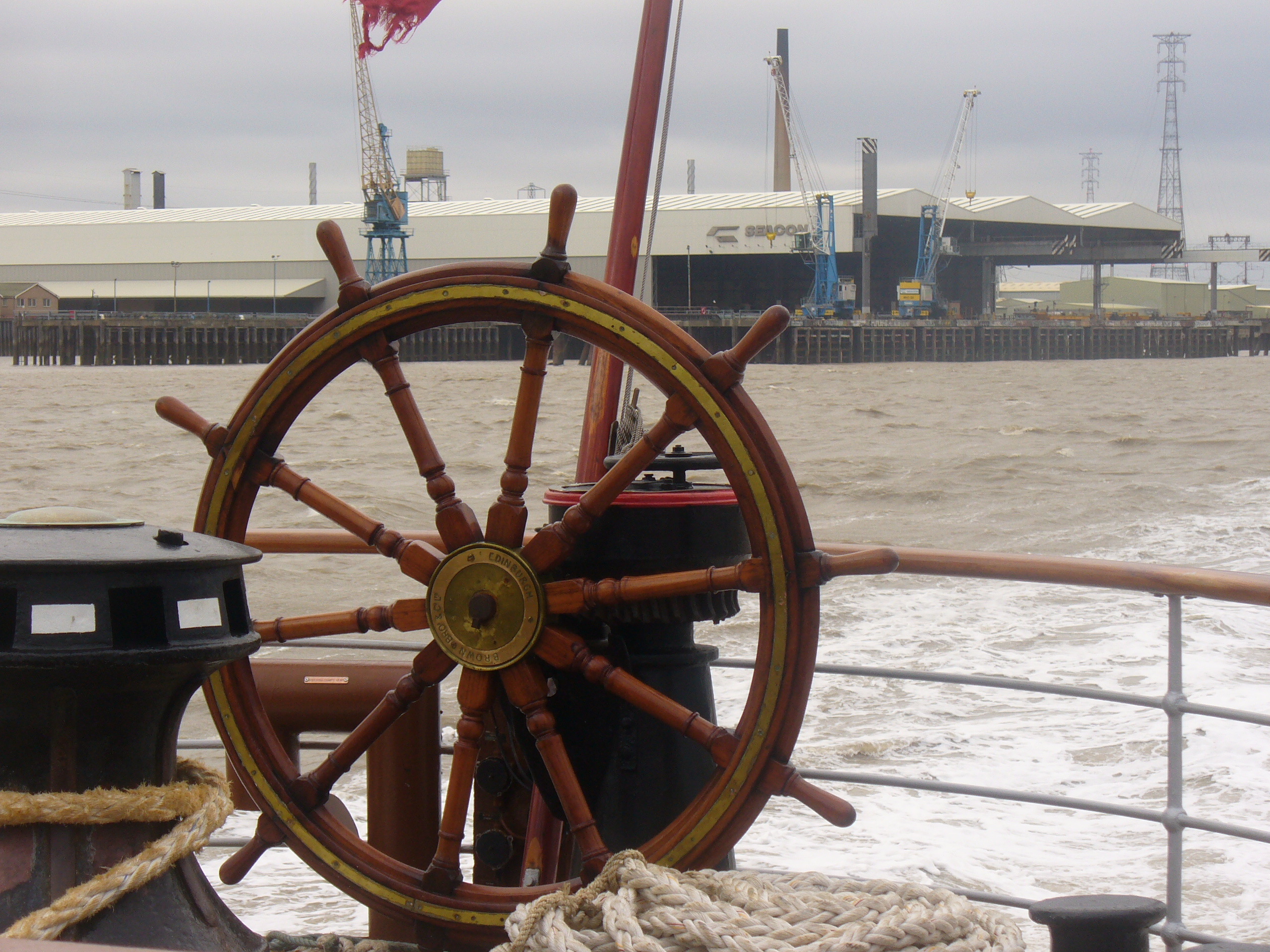
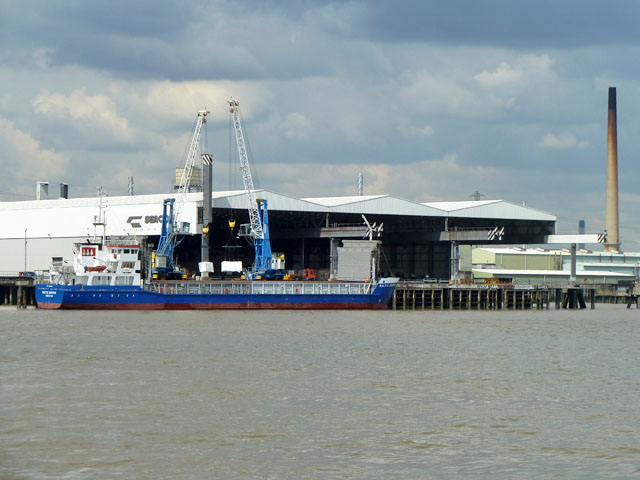
NorthfleetThames8772.JPG - ClemRutter

NorthfleetImperialPaper8774.JPG - ClemRutter

NorthfleetImperialPaper8777.JPG - ClemRutter

NorthfleetThames8780.JPG - ClemRutter

NorthfleetThames8781.JPG - ClemRutter

NorthfleetBuilding8789.JPG - ClemRutter

NorthfleetThamesGatewaySigns8791.JPG - ClemRutter

NorthfleetRosherville8792.JPG - ClemRutter

NorthfleetRosherville8793.JPG - ClemRutter

NorthfleetPaper8794.JPG - ClemRutter

NorthfleetThames8797.JPG - ClemRutter

TilburyThames8798.JPG - ClemRutter
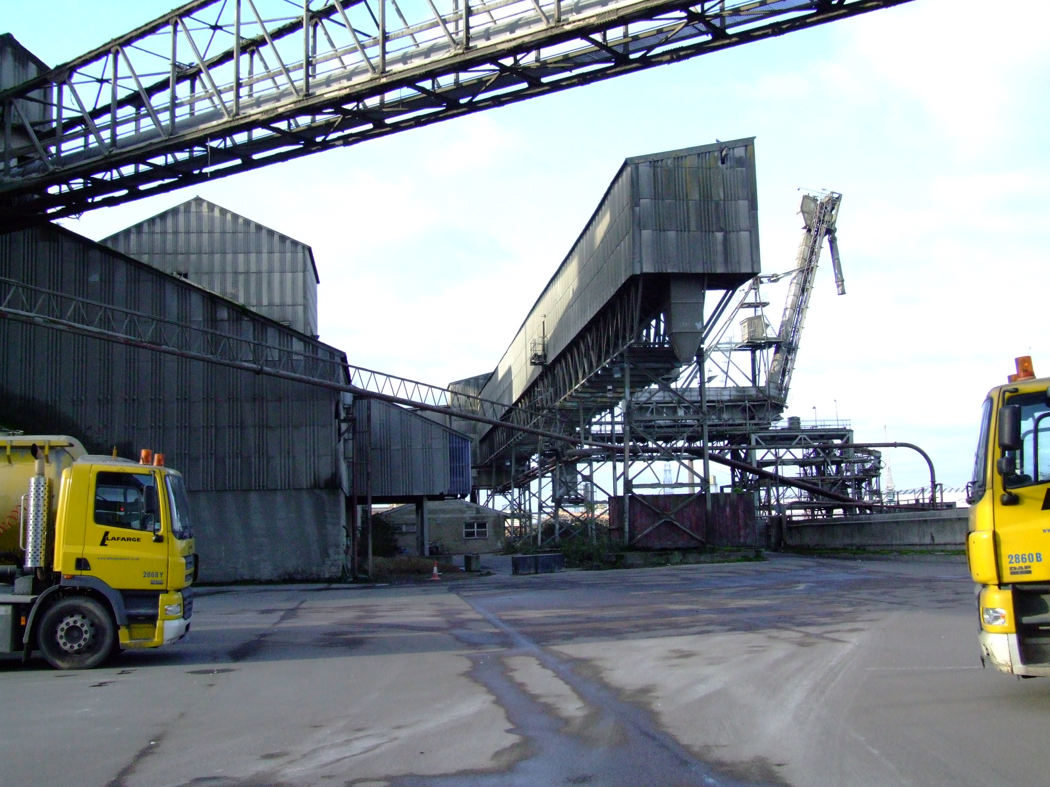
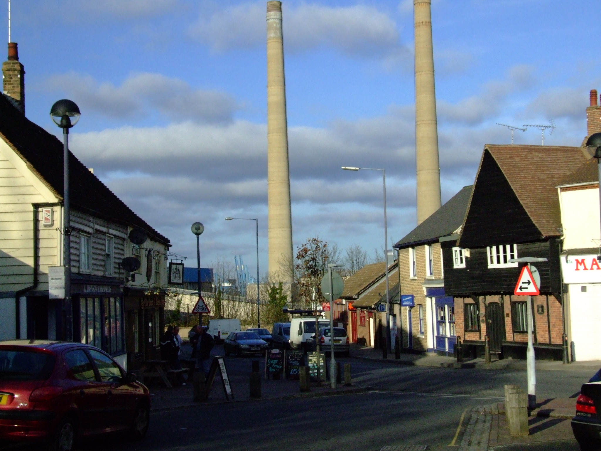
NorthfleetCement8802.JPG - ClemRutter

EbbsfleetRiver8804.JPG - ClemRutter

EbbsfleetRiver8805.JPG - ClemRutter
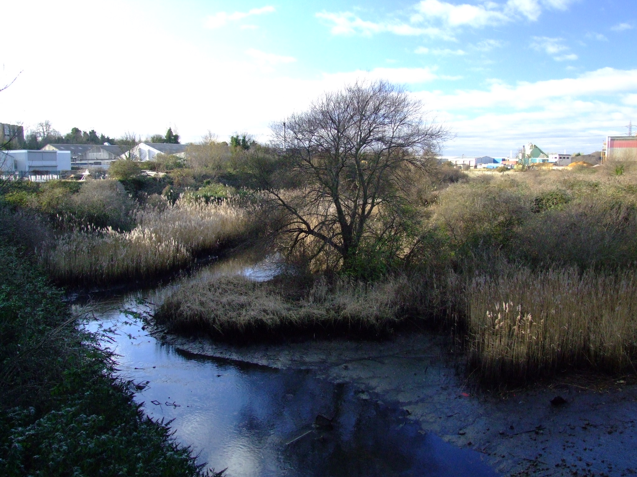
EbbsfleetRiver8806.JPG - ClemRutter

EbbsfleetRiver8807.JPG - ClemRutter

NorthfleetThames8808.JPG - ClemRutter

NorthfleetThames8810.JPG - ClemRutter

EbbsfleetRiver8815.JPG - ClemRutter

NorthfleetBuilding8821.JPG - ClemRutter

NorthfleetBuilding8822.JPG - ClemRutter

NorthfleetHighSt8831.JPG - ClemRutter
NorthfleetHighSt8832.JPG - ClemRutter

NorthfleetStadium8833.JPG - ClemRutter

Kent Voyager in Dock - geograph.org.uk - 48992.jpg - GeographBot

W.T Henley Ltd - geograph.org.uk - 48995.jpg - GeographBot

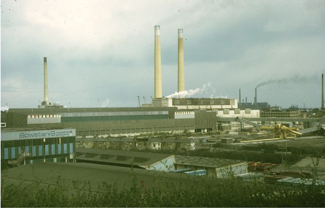
Cement Kilns, Northfleet, 1973 - geograph.org.uk - 134466.jpg - GeographBot
Northfleet Mills, 1973 - geograph.org.uk - 134462.jpg - GeographBot

Bridleway and Railway near Northfleet Green - geograph.org.uk - 145121.jpg - GeographBot

Northfleet Light - geograph.org.uk - 145171.jpg - GeographBot

Sainsburys Gravesend - geograph.org.uk - 145635.jpg - GeographBot

Old Rectory Junction - geograph.org.uk - 151464.jpg - GeographBot

LDCementThamesPlants.png - File Upload Bot (Magnus Manske)

Crete Hall Road, Northfleet (1) - geograph.org.uk - 601884.jpg - GeographBot

Crete Hall Road, Northfleet (2) - geograph.org.uk - 601887.jpg - GeographBot

Crete Hall Road, Northfleet (3) - geograph.org.uk - 601890.jpg - GeographBot

Gate 3, TT Electronics, Northfleet - geograph.org.uk - 601886.jpg - GeographBot

Ebbsfleet Welcome emblem - geograph.org.uk - 704685.jpg - GeographBot

Station Road, Northfleet - geograph.org.uk - 790249.jpg - GeographBot

Harden Road - geograph.org.uk - 931450.jpg - GeographBot

Harden Road and Bucks Cross Road - geograph.org.uk - 931451.jpg - GeographBot

Elim Pentecostal Church - geograph.org.uk - 1095979.jpg - GeographBot

St Mark's Church, Rosherville - geograph.org.uk - 1095918.jpg - GeographBot
Industrial site near Northfleet - geograph.org.uk - 1114601.jpg - GeographBot

Masefield Road, Gravesend - geograph.org.uk - 1114649.jpg - GeographBot

Stonebridge Road, Northfleet - geograph.org.uk - 1119779.jpg - GeographBot

The Coopers Arms, Northfleet - geograph.org.uk - 1114629.jpg - GeographBot

The Edinburgh Castle, Northfleet - geograph.org.uk - 1114642.jpg - GeographBot

The Plough, Northfleet - geograph.org.uk - 1114620.jpg - GeographBot

Stonebridge Road, Northfleet - geograph.org.uk - 1125626.jpg - GeographBot

Battle of Britain Public House, Northfleet - geograph.org.uk - 1250761.jpg - GeographBot
Clements Close Catholic Church - geograph.org.uk - 1250757.jpg - GeographBot

Dene Holm Methodist Church - geograph.org.uk - 1250751.jpg - GeographBot

The Painter's Ash Public House, Northfleet - geograph.org.uk - 1250755.jpg - GeographBot

London Road, Rosherville - geograph.org.uk - 1402774.jpg - GeographBot

The Hill, Northfleet - geograph.org.uk - 1402758.jpg - GeographBot

The Hill, Northfleet - geograph.org.uk - 1402766.jpg - GeographBot

The Hill, Northfleet - geograph.org.uk - 1402768.jpg - GeographBot

The Queen's Head, Northfleet, viewed from the churchyard of St. Botolph's - geograph.org.uk - 1409913.jpg - GeographBot

'E' is for Ebbsfleet - geograph.org.uk - 1556450.jpg - GeographBot

Coldharbour Library - geograph.org.uk - 1558318.jpg - GeographBot

Crossroads near Wombwell Park - geograph.org.uk - 1556337.jpg - GeographBot

Cygnet Leisure Centre, Northfleet - geograph.org.uk - 1556327.jpg - GeographBot

Dismantled Footbridge near Northfleet - geograph.org.uk - 1557927.jpg - GeographBot

Dismantled footbridge near Northfleet - geograph.org.uk - 1557958.jpg - GeographBot
Empty House near the A2 and Watling Street - geograph.org.uk - 1556420.jpg - GeographBot

Entrance to Wombwell Park - geograph.org.uk - 1556342.jpg - GeographBot

Gravel and Sand Works - geograph.org.uk - 1558179.jpg - GeographBot

Kissing gate near Springhead Park - geograph.org.uk - 1556384.jpg - GeographBot

Meeting of railway lines, near Northfleet - geograph.org.uk - 1557923.jpg - GeographBot

Northfleet United Reformed Church - geograph.org.uk - 1558299.jpg - GeographBot

Portlands, Northfleet - geograph.org.uk - 1558255.jpg - GeographBot

Queen's Head Public House, Northfleet - geograph.org.uk - 1558280.jpg - GeographBot

Railway bridge in a quarry near Northfleet - geograph.org.uk - 1557898.jpg - GeographBot

Railway to Gravesend - geograph.org.uk - 1558308.jpg - GeographBot

River Thames near Northfleet - geograph.org.uk - 1558185.jpg - GeographBot

Rotary Club Golden Jubilee Garden - geograph.org.uk - 1556321.jpg - GeographBot

Roundabout on Stonebridge Road - geograph.org.uk - 1558233.jpg - GeographBot

Springhead Park, Northfleet - geograph.org.uk - 1556361.jpg - GeographBot

Stairs in a disused quarry - geograph.org.uk - 1557911.jpg - GeographBot

The Dover Castle Public House, Northfleet - geograph.org.uk - 1558302.jpg - GeographBot

The Edinburgh Castle Public house, Northfleet - geograph.org.uk - 1558258.jpg - GeographBot

The Heritage, Northfleet - geograph.org.uk - 1558265.jpg - GeographBot

The Hive, Northfleet - geograph.org.uk - 1558244.jpg - GeographBot

The Hive Shopping Centre, Northfleet - geograph.org.uk - 1558248.jpg - GeographBot

The new commuter link to Ebbsfleet Station - geograph.org.uk - 1557948.jpg - GeographBot

Vale Road footbridge over the railway - geograph.org.uk - 1558305.jpg - GeographBot
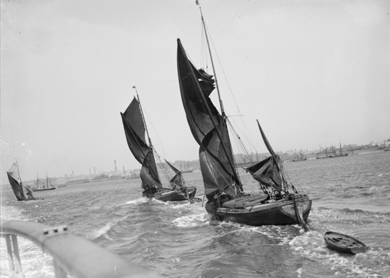
Thames sailing barges off Northfleet, Kent.jpg - Botaurus

David Cox - Cottage at Northfleet, Kent - Google Art Project.jpg - DcoetzeeBot
A group portrait at Rosherville Gardens, Northfleet RMG G02346.tiff - Fæ

Sketch of The Balcarras, East Indiaman at Northfleet, Feby 7 1824 RMG PU6397.jpg - Fæ
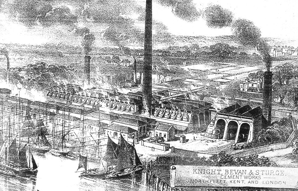
Knight, Bevan and Sturge cement works, Northfleet.jpg - Howardm

Battle of Britain, Northfleet - geograph.org.uk - 1996123.jpg - GeographBot

Cranes on the Thames at Tilbury - geograph.org.uk - 2089990.jpg - GeographBot

Cranes at Tilbury - geograph.org.uk - 2090003.jpg - GeographBot
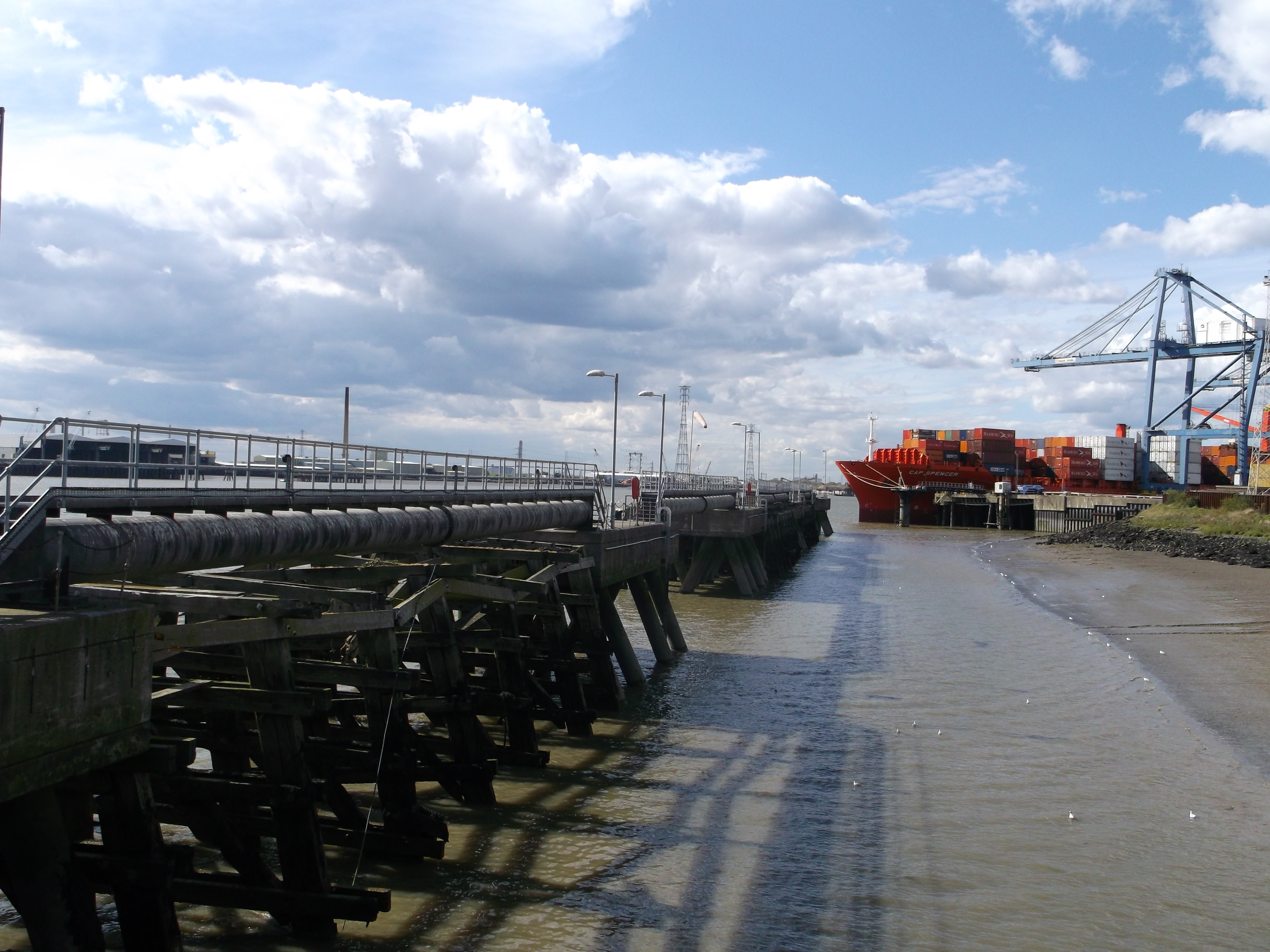
Wharf at Northfleet - geograph.org.uk - 2090014.jpg - GeographBot

Concrete Jetty Bridge - geograph.org.uk - 2091887.jpg - GeographBot

Concrete Jetty - geograph.org.uk - 2091893.jpg - GeographBot

Tilbury Docks - geograph.org.uk - 2091901.jpg - GeographBot

Concrete Jetty - geograph.org.uk - 2091908.jpg - GeographBot

Tilbury Docks - geograph.org.uk - 2091913.jpg - GeographBot

Ship in Dock - geograph.org.uk - 2091915.jpg - GeographBot

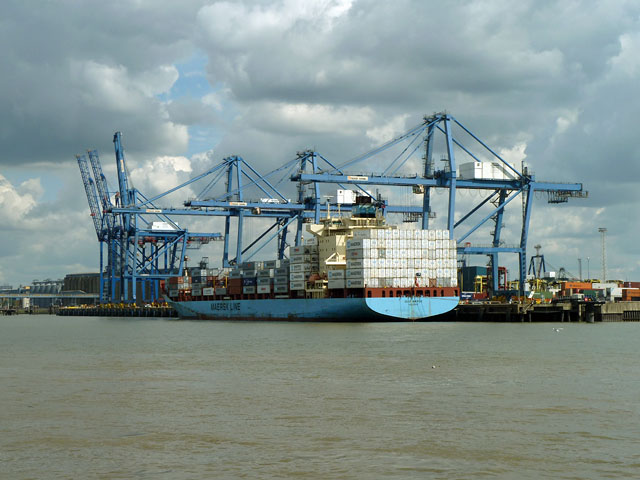
Tilbury Docks - MSC Mira - geograph.org.uk - 2091928.jpg - GeographBot

Gravel jetty, Swanscombe - geograph.org.uk - 2484218.jpg - GeographBot

Jetty at Tilbury Ness - geograph.org.uk - 2545657.jpg - GeographBot

Tilbury Ness and docks - geograph.org.uk - 2545659.jpg - GeographBot

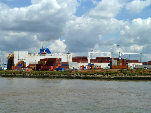
Containers at Tilbury Docks - geograph.org.uk - 2545660.jpg - GeographBot

Cranes unloading the Cap Gabriel at Tilbury Docks - geograph.org.uk - 2545663.jpg - GeographBot

Cranes unloading container ships at Tilbury - geograph.org.uk - 2545675.jpg - GeographBot

Unloading containers from the Bahia Castillo, Tilbury - geograph.org.uk - 2545693.jpg - GeographBot

Grain silos at Tilbury - geograph.org.uk - 2546358.jpg - GeographBot

James Bourne - Northfleet, Kent - B1975.3.1098 - Yale Center for British Art.jpg - SmartifyBot

George Chambers - Soldiers Being Rowed Out to an Indiaman at Northfleet - B1981.25.1993 - Yale Center for British Art.jpg - SmartifyBot

From 'The Shore' - Rosherville - to the Essex bank and Tilbury Ness - geograph.org.uk - 3036735.jpg - GeographBot

Cranes, Tilbury Docks - geograph.org.uk - 3127616.jpg - GeographBot

Northfleet Hope Container Terminal, Tilbury Docks - geograph.org.uk - 3127635.jpg - GeographBot

New Toyota cars, Tilbury Docks - geograph.org.uk - 3127670.jpg - GeographBot

Disused Wharf, Tilbury Docks - geograph.org.uk - 3127679.jpg - GeographBot
Mole, Tilbury Docks - geograph.org.uk - 3127693.jpg - GeographBot

Lock Entrance to Tilbury Docks - geograph.org.uk - 3135227.jpg - GeographBot
Pile 'em high - geograph.org.uk - 3159074.jpg - GeographBot

Javelin at Ebbsfleet International - geograph.org.uk - 3417081.jpg - GeographBot

Kuflink Stadium.jpg - Fleets
Tilbury Docks - geograph.org.uk - 3751872.jpg - GeographBot
Tower Wharf, Northfleet - geograph.org.uk - 3751901.jpg - GeographBot

The Thames, a Turbine, a Ship in Tilbury Docks - geograph.org.uk - 4136718.jpg - GeographBot

The Thames at Northfleet - geograph.org.uk - 4136857.jpg - GeographBot

The Edinburgh Castle, Northfleet - geograph.org.uk - 4297376.jpg - GeographBot

Tilbury Lock Office - geograph.org.uk - 4425968.jpg - GeographBot

The Grande Nigeria approaches Tilbury Lock - geograph.org.uk - 4425991.jpg - GeographBot

Ye Old Coach and Horses Inn, Northfleet - geograph.org.uk - 1558269.jpg - GeographBot

Springhead Parkway, Springhead Park - geograph.org.uk - 5518441.jpg - GeographBot

Darwin Rise, Springhead Park - geograph.org.uk - 5518448.jpg - GeographBot

Tyler Close, Springhead Park - geograph.org.uk - 5518450.jpg - GeographBot

Fielden Terrace, Springhead Park - geograph.org.uk - 5518453.jpg - GeographBot

Thames Way, Northfleet - geograph.org.uk - 5518455.jpg - GeographBot

Vale Road, Northfleet - geograph.org.uk - 5518460.jpg - GeographBot

Maritime Gate, Northfleet - geograph.org.uk - 5518461.jpg - GeographBot

Rosherville Way, Northfleet - geograph.org.uk - 5518466.jpg - GeographBot

Crete Hall Road, Northfleet - geograph.org.uk - 5518471.jpg - GeographBot

Crete Hall Road, Northfleet - geograph.org.uk - 5518473.jpg - GeographBot

Crete Hall Road, Northfleet - geograph.org.uk - 5518475.jpg - GeographBot

Crete Hall Road, Northfleet - geograph.org.uk - 5518479.jpg - GeographBot
Crete Hall Road, Northfleet - geograph.org.uk - 5740521.jpg - GeographBot

Stonebridge Road Football Stadium, Northfleet - geograph.org.uk - 5740557.jpg - GeographBot

Site of former Northfleet cement sidings - geograph.org.uk - 5851493.jpg - GeographBot

Houses at the end of South Kent Avenue - geograph.org.uk - 5851497.jpg - GeographBot

Houses in Springhead Road - geograph.org.uk - 5851502.jpg - GeographBot

View over Church Path Pit - geograph.org.uk - 5851505.jpg - GeographBot
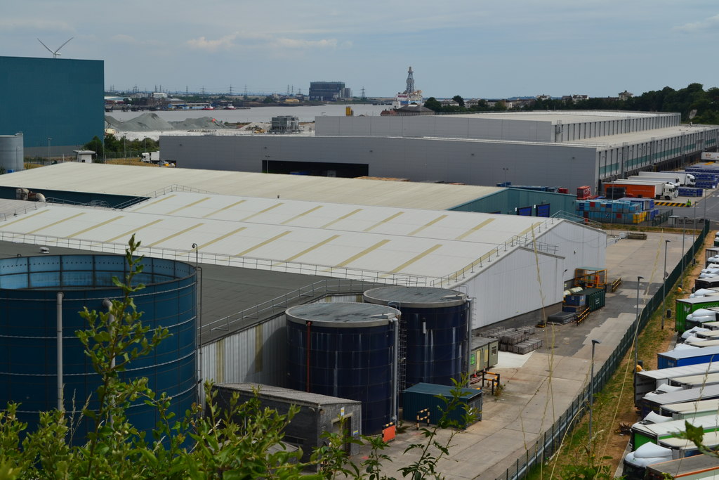
View over roof of paper mill with River Thames beyond - geograph.org.uk - 5851510.jpg - GeographBot

View across roof of Kimberley Clark paper mill - geograph.org.uk - 5851512.jpg - GeographBot

Chalk faces at Church Path Pit - geograph.org.uk - 5851513.jpg - GeographBot

Ye Olde Coach and Horses Inn, Northfleet - geograph.org.uk - 5851515.jpg - GeographBot

Railway complexity at Northfleet - geograph.org.uk - 5851530.jpg - GeographBot

Mixed residential and commercial use at The Hive, Northfleet - geograph.org.uk - 5851540.jpg - GeographBot

External paved area, The Hive, Northfleet - geograph.org.uk - 5851543.jpg - GeographBot
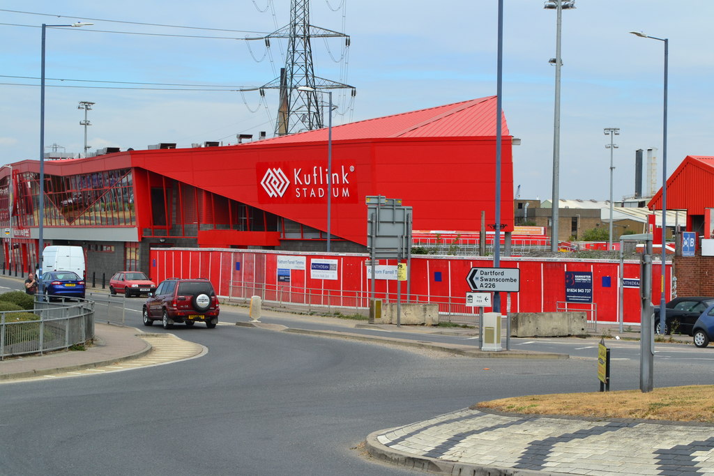
The Kuflink Stadium - geograph.org.uk - 5851547.jpg - GeographBot

Mixing concrete at Rosherville - geograph.org.uk - 6165136.jpg - GeographBot

Pier Road - geograph.org.uk - 6165141.jpg - GeographBot

Near the bottom of Pier Road - geograph.org.uk - 6165145.jpg - GeographBot

Depot and jetty at Rosherville - geograph.org.uk - 6165151.jpg - GeographBot

View across the Thames towards Tilbury Docks - geograph.org.uk - 6165479.jpg - GeographBot

View towards silos at Tilbury Docks - geograph.org.uk - 6226508.jpg - GeographBot
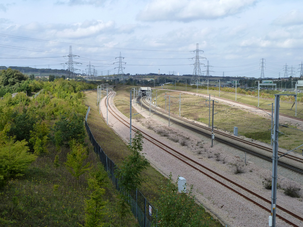
Flying junction on CTRL - geograph.org.uk - 6232419.jpg - GeographBot

Flying junction on CTRL - geograph.org.uk - 6232430.jpg - GeographBot

Bridleway by railway - geograph.org.uk - 6232500.jpg - GeographBot

Sign gantry on A2 - geograph.org.uk - 6232503.jpg - GeographBot

Bridleway by railway - geograph.org.uk - 6232509.jpg - GeographBot
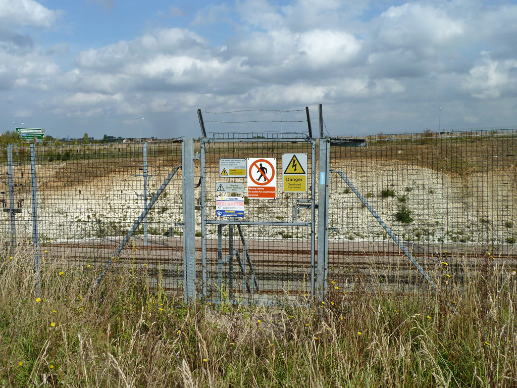
Railway access gate at Southfleet Junction - geograph.org.uk - 6232525.jpg - GeographBot

Railway access at Southfleet Junction - geograph.org.uk - 6232534.jpg - GeographBot

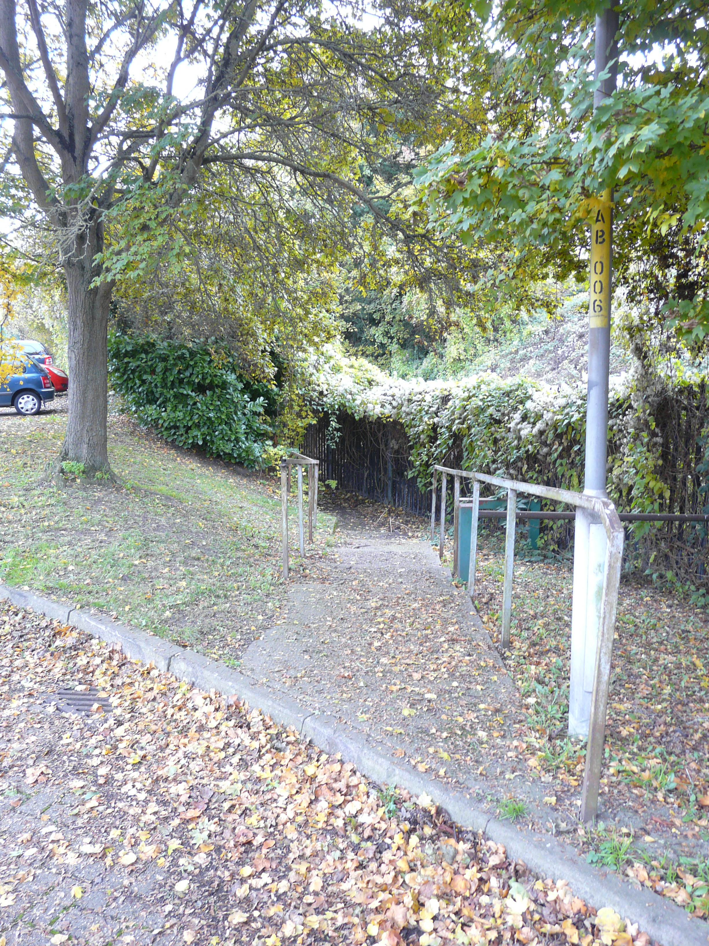
Overgrown railway access path - geograph.org.uk - 6232543.jpg - GeographBot

River Thames, Tilbury Docks - geograph.org.uk - 6254277.jpg - GeographBot

Tower Wharf, Northfleet - geograph.org.uk - 6254287.jpg - GeographBot

Northfleet, Bowaters Wharf - geograph.org.uk - 6254290.jpg - GeographBot

River Thames, The Henley Building at Northfleet - geograph.org.uk - 6254295.jpg - GeographBot

Extension to Ashfield, College Road - geograph.org.uk - 6331358.jpg - GeographBot

Aspdin Wharf - geograph.org.uk - 6331371.jpg - GeographBot

Aspdin Wharf - geograph.org.uk - 6331380.jpg - GeographBot

Construction site, The Creek - geograph.org.uk - 6332097.jpg - GeographBot
Path from Ebbsfleet Walk - geograph.org.uk - 6332123.jpg - GeographBot
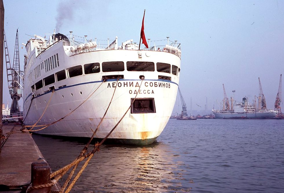
'Leonid Sobinov', Tilbury 17-02-1978 - geograph.org.uk - 6341594.jpg - GeographBot

The Wealdway approaching Ifield Court - geograph.org.uk - 6359239.jpg - GeographBot

The Wealdway approaching Ifield Court - geograph.org.uk - 6359241.jpg - GeographBot

The Wealdway approaching Ifield Court - geograph.org.uk - 6359248.jpg - GeographBot

The Wealdway passing Ifield Court - geograph.org.uk - 6359255.jpg - GeographBot

Newton Abbot Road, Northfleet - geograph.org.uk - 6515650.jpg - GeographBot

A corner of Gravesend Cemetery - geograph.org.uk - 6522205.jpg - GeographBot

Village sign at Istead Rise - geograph.org.uk - 6556999.jpg - GeographBot

Plaque on village sign at Istead Rise - geograph.org.uk - 6557003.jpg - GeographBot

Close up of the village sign at Istead Rise - geograph.org.uk - 6557006.jpg - GeographBot

Close up of the village sign at Istead Rise - geograph.org.uk - 6557009.jpg - GeographBot

Fish and chip shop at Istead Rise - geograph.org.uk - 6557015.jpg - GeographBot

Warship near Gravesend - geograph.org.uk - 6786985.jpg - GeographBot

The A2 heading west - geograph.org.uk - 6861438.jpg - GeographBot

The A2 heading west - geograph.org.uk - 6861441.jpg - GeographBot

The A2 heading west - geograph.org.uk - 6861443.jpg - GeographBot

The A2 heading west - geograph.org.uk - 6861445.jpg - GeographBot

Botany Marsh, Northfleet - geograph.org.uk - 6891291.jpg - GeographBot

Routemaster buses, Northfleet - geograph.org.uk - 6891294.jpg - GeographBot

Path around Botany Marsh, Northfleet - geograph.org.uk - 6891297.jpg - GeographBot

View across Botany Marsh - geograph.org.uk - 6891305.jpg - GeographBot

Howard locomotive at Northfleet.png - Opolito

National Cycle Route 1 towards Gravesend - geograph.org.uk - 7214456.jpg - GeographBot

Bus stop and shelter on Thames Way (A226) - geograph.org.uk - 7214459.jpg - GeographBot

Houses on Vale Road - geograph.org.uk - 7214464.jpg - GeographBot

Railway bridge over Thames Way (A226) - geograph.org.uk - 7214468.jpg - GeographBot

Roundabout on Thames Way (A226), Northfleet - geograph.org.uk - 7214476.jpg - GeographBot

The Elephants Head, Northfleet - geograph.org.uk - 7214480.jpg - GeographBot

Bus stop and shelter on Thames Way (A226) - geograph.org.uk - 7214479.jpg - GeographBot

Houses on Pier Road - geograph.org.uk - 7214481.jpg - GeographBot

Houses on New House Lane - Harden Road - geograph.org.uk - 7214782.jpg - GeographBot

Bus stop and shelter on New House Lane - geograph.org.uk - 7214784.jpg - GeographBot

Northfleet School for Girls - geograph.org.uk - 7214786.jpg - GeographBot

St John Ambulance - Northfleet Division - geograph.org.uk - 7214790.jpg - GeographBot

Hall Road, Wombwell Park - geograph.org.uk - 7214793.jpg - GeographBot

Footpath, Nash Street - geograph.org.uk - 7216268.jpg - GeographBot

Entering Istead Rise - geograph.org.uk - 7216270.jpg - GeographBot

Nash Street - geograph.org.uk - 7216272.jpg - GeographBot

Track to Marlborough House - geograph.org.uk - 7216275.jpg - GeographBot

Wrotham Road (A227) - geograph.org.uk - 7216277.jpg - GeographBot

Houses on Istead Rise - geograph.org.uk - 7216279.jpg - GeographBot

Istead Rise - geograph.org.uk - 7216281.jpg - GeographBot

Farm track off Wrotham Road (A227) - geograph.org.uk - 7216282.jpg - GeographBot

Wrotham Road (A227) - geograph.org.uk - 7216285.jpg - GeographBot

Path beside Wrotham Road (A227) - geograph.org.uk - 7216286.jpg - GeographBot

Railway bridge over Wrotham Road (A227) - geograph.org.uk - 7216288.jpg - GeographBot

Roundabout on Wrotham Road (A227) - geograph.org.uk - 7216289.jpg - GeographBot

New housing on Harvest Lane - geograph.org.uk - 7216294.jpg - GeographBot

Coldharbour Road, Gravesend - geograph.org.uk - 7216297.jpg - GeographBot

Roundabout on Coldharbour Road, Gravesend - geograph.org.uk - 7216299.jpg - GeographBot

Morrisons supermarket, Gravesend - geograph.org.uk - 7216301.jpg - GeographBot

Lidl supermarket, Gravesend - geograph.org.uk - 7216305.jpg - GeographBot

Elizabeth II postbox on Istead Rise, Istead Rise - geograph.org.uk - 7216830.jpg - GeographBot

Decorated George V postbox on Perry Street, Northfleet - geograph.org.uk - 7229480.jpg - GeographBot

Houses on Cooper Road, Northfleet - geograph.org.uk - 7229483.jpg - GeographBot

Outdoor exercise area, Woodlands Park - geograph.org.uk - 7234418.jpg - GeographBot

Woodlands Park - geograph.org.uk - 7234421.jpg - GeographBot

Pylons seen from Church Road, Ifield - geograph.org.uk - 7234728.jpg - GeographBot

Pylons seen from Church Road, Ifield - geograph.org.uk - 7234730.jpg - GeographBot

Pylons seen from Church Road, Ifield - geograph.org.uk - 7234743.jpg - GeographBot

Library sign (33914317705).jpg - Orizan

Wallis Park and College road 24th April 2025.jpg - WilliamJL1990

Lower College road 24th April 2025.jpg - WilliamJL1990

View down College road 24th April 2025.jpg - WilliamJL1990

College road and Harbour Village 24th April 2025.jpg - WilliamJL1990

Robins Creek and Northfleet Harbour - geograph.org.uk - 7606026.jpg - GeographBot

Disused Jetty, Northfleet (1) - geograph.org.uk - 7606033.jpg - GeographBot

Disused Jetty, Northfleet (2) - geograph.org.uk - 7606037.jpg - GeographBot

The Creek, Northfleet - geograph.org.uk - 7606044.jpg - GeographBot

Partial menu for NFC Peri Peri Chicken (175 High Street, Northfleet, Gravesend DA11 9HG) (2).jpg - Sunolafjagtenben-hur

New Premier shop coming soon to Northfleet (6 Stonebridge Rd, Northfleet, Gravesend DA11 9DR).jpg - Sunolafjagtenben-hur

Menu for NFC Peri Peri Chicken (175 High Street, Northfleet, Gravesend DA11 9HG).jpg - Sunolafjagtenben-hur

TooGoodToGo sticker - NFC Peri Peri Chicken (175 High Street, Northfleet, Gravesend DA11 9HG).jpg - Sunolafjagtenben-hur

Partial menu for NFC Peri Peri Chicken (175 High Street, Northfleet, Gravesend DA11 9HG).jpg - Sunolafjagtenben-hur

Sign for The Hive - Northfleet, Kent.jpg - Sunolafjagtenben-hur

View of the B2175 (High Street) facing towards Stonebridge Road - Northfleet, Kent.jpg - Sunolafjagtenben-hur

Interior of NFC Peri Peri Chicken (175 High Street, Northfleet, Gravesend DA11 9HG).jpg - Sunolafjagtenben-hur

Bus stop sign for The Hive (B2175 High Street) - Northfleet, Kent.jpg - Sunolafjagtenben-hur

View of the Harbour Village development from Chimney View Park - Northfleet, Kent (9).jpg - Sunolafjagtenben-hur

View of the Harbour Village development from Chimney View Park - Northfleet, Kent (6).jpg - Sunolafjagtenben-hur

View of the Harbour Village development from Chimney View Park - Northfleet, Kent (7).jpg - Sunolafjagtenben-hur

View of the Harbour Village development from Chimney View Park - Northfleet, Kent (8).jpg - Sunolafjagtenben-hur

View of the Harbour Village development from Chimney View Park - Northfleet, Kent (4).jpg - Sunolafjagtenben-hur

View of the Harbour Village development from Chimney View Park - Northfleet, Kent (5).jpg - Sunolafjagtenben-hur

View of the Harbour Village development from Chimney View Park - Northfleet, Kent (3).jpg - Sunolafjagtenben-hur

View of the Harbour Village development from Chimney View Park - Northfleet, Kent (2).jpg - Sunolafjagtenben-hur

View of the Harbour Village development from Chimney View Park - Northfleet, Kent (10).jpg - Sunolafjagtenben-hur

View of Chimney View Park at the Harbour Village development - Northfleet, Kent.jpg - Sunolafjagtenben-hur

Ebbsfleet Citizen Archive sign on a wooden public bench within Chimney View Park - Harbour Village, Northfleet, Kent.jpg - Sunolafjagtenben-hur

Chimney View Park - Harbour Village, Northfleet, Kent.jpg - Sunolafjagtenben-hur

View of the Harbour Village development from Chimney View Park - Northfleet, Kent.jpg - Sunolafjagtenben-hur

View of the Harbour Village development - Northfleet, Kent (8).jpg - Sunolafjagtenben-hur

View of the Bellway Harbour Village sales centre - Northfleet, Kent.jpg - Sunolafjagtenben-hur

View of the Harbour Village development - Northfleet, Kent (5).jpg - Sunolafjagtenben-hur

View of the Harbour Village development - Northfleet, Kent (7).jpg - Sunolafjagtenben-hur

View of the Harbour Village development - Northfleet, Kent (6).jpg - Sunolafjagtenben-hur

View of the Harbour Village development - Northfleet, Kent (4).jpg - Sunolafjagtenben-hur

View of the Harbour Village development - Northfleet, Kent (3).jpg - Sunolafjagtenben-hur

View of the Harbour Village development - Northfleet, Kent (2).jpg - Sunolafjagtenben-hur

View of the Harbour Village development - Northfleet, Kent.jpg - Sunolafjagtenben-hur

View of College Road (by Harbour Village) - Northfleet, Kent.jpg - Sunolafjagtenben-hur

Sign of the Bellway Harbour Village development on College Road - Northfleet, Kent.jpg - Sunolafjagtenben-hur

View of the B2175 (Stonebridge Road) - Northfleet, Kent.jpg - Sunolafjagtenben-hur

Harbour Village and College road 24th April 2025.jpg - WilliamJL1990

Ebbsfleet Cycleway barriers - Northfleet, Kent.jpg - Sunolafjagtenben-hur
Stonebridge Road, Ebbsfleet United Football Club - geograph.org.uk - 1495410.jpg - GeographBot

Pylons and power lines seen from Church Road, Ifield - geograph.org.uk - 7704582.jpg - GeographBot

Northfleet Harbour - geograph.org.uk - 7706576.jpg - GeographBot