Wikimedi'Òc
Modes d'emploi

Cet album fait partie des albums
Cet album photos contient les sous-albums suivants :


The Englishmen's arrival in Virginia (1590).jpg - Al Lemos
DeSoto Map Leg 2 HRoe 2008.jpg - Ras67
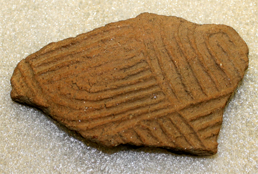
Notla mound potsherd nc.jpg - Uyvsdi

North carolina algonkin(2).png - Nikater

Indians in North Carolina fishing with traps, spears, and nets, 1885 - NARA - 535743.jpg - US National Archives bot

Lick Creek style gorget Hairston Site HRoe 2012.jpg - Heironymous Rowe

Map of northern la Florida 1584.png - Cdtew

The village of Pomeioc, North Carolina, 1885, color - NARA - 535753.jpg - Tungsten

Cherokee Stickball, played at Cherokee, North Carolina (5756056014).jpg - Monumenteer2014

E141b91-p10 eda4fb7d70.jpg - Sunriseshore

An Accurate Map of North and South Carolina With Their Indian Frontiers.png - Shcline21

Map of the former territorial limits of the Cherokee "Nation of" Indians ; Map showing the territory originally assigned Cherokee "Nation of" Indians. LOC 99446145.jpg - Fæ

Cherokee Boundary Treaty Sign.jpg - ConstantEditor126

Burning of Aquascogoc 1585.jpg - Jim Into Mystery
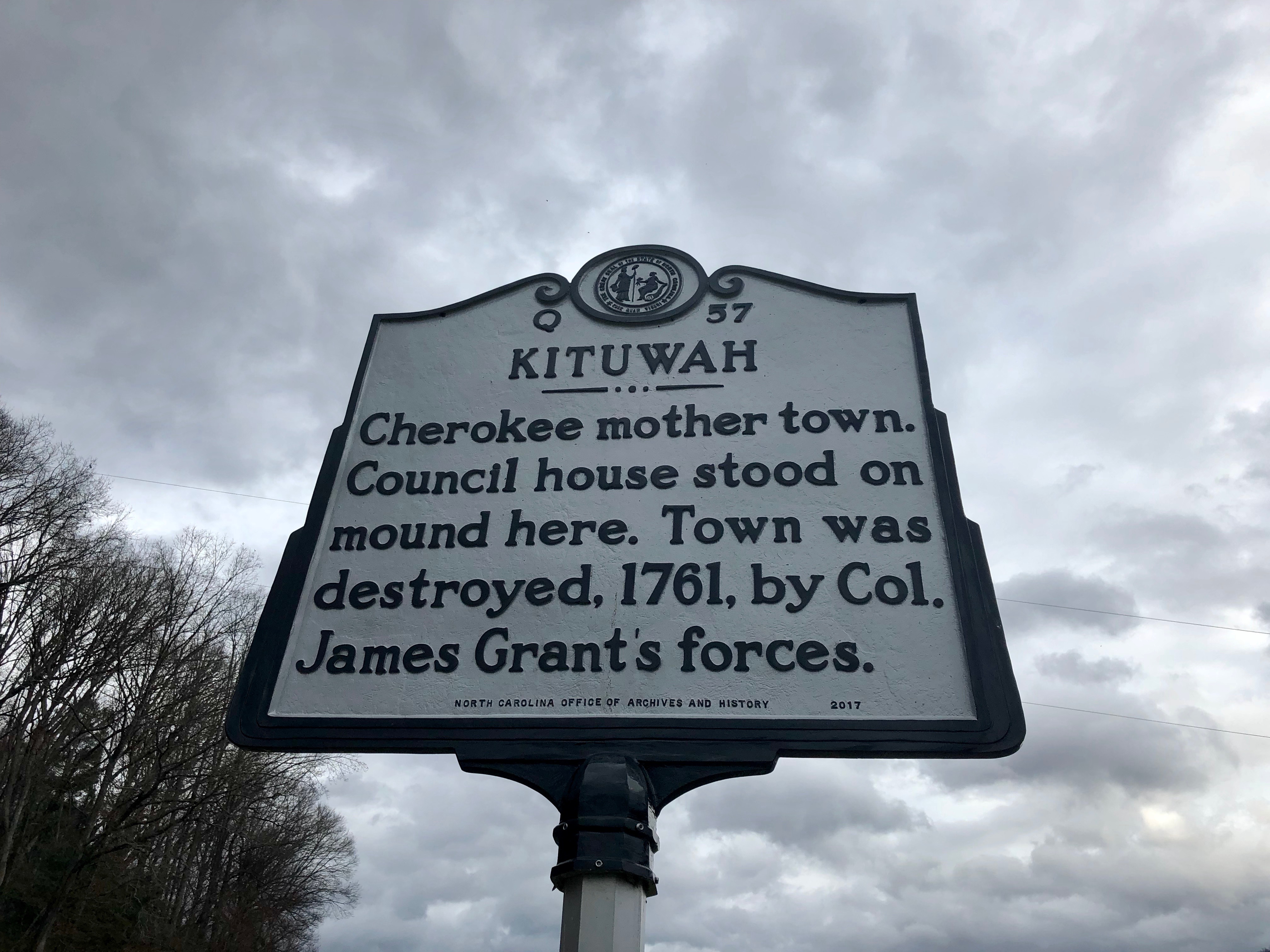
Kituwah Historical Marker, Ela, NC (45922084404).jpg - Ser Amantio di Nicolao

Raleigh's Virginia, Fort Raleigh National Historic Site, Manteo, Roanoke Island, North Carolina (14273784228).jpg - Ser Amantio di Nicolao

Christoph von Graffenried (1661-1743) and John Lawson (1674-1711) as prisoners of the Tuscarora, 1711.jpg - Burgerbibliothek Bern
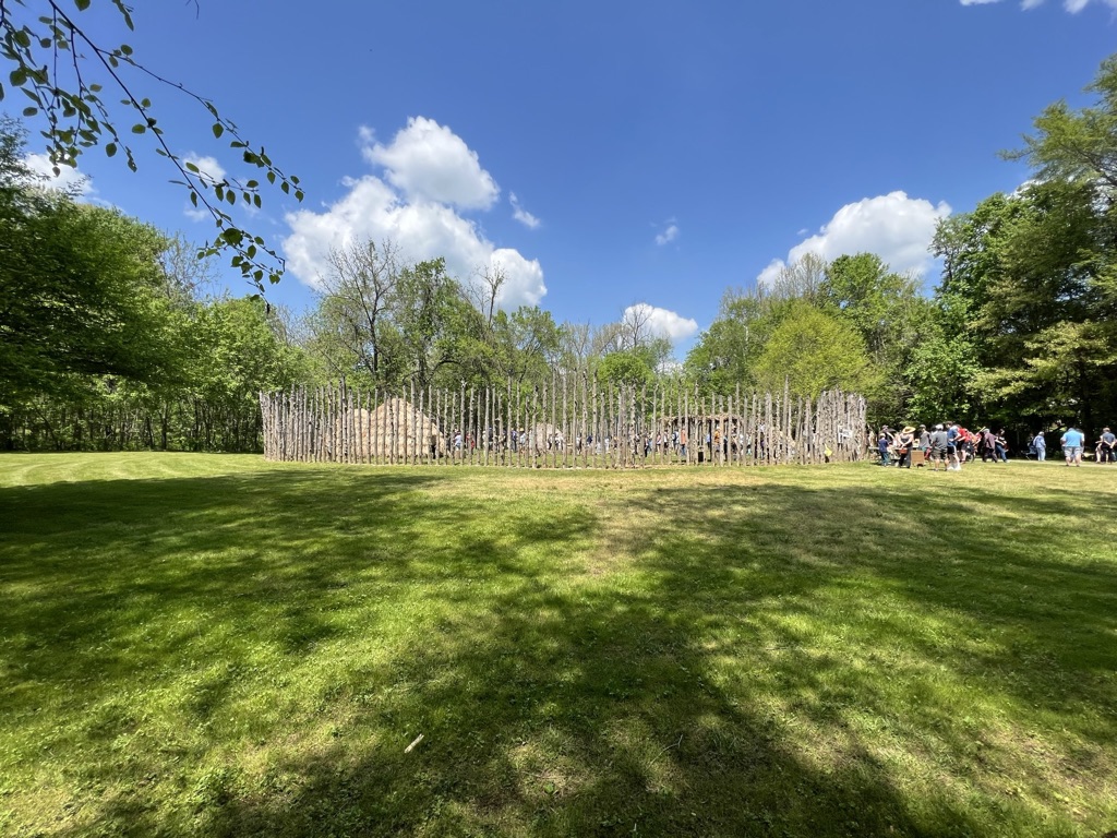
Wideshot of the Occaneechi Village Replica Site, Hillsborough, NC.jpg - Gaurav

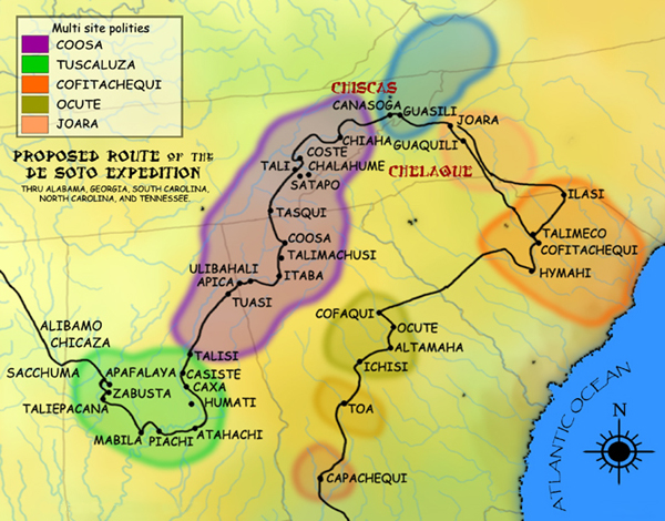
Paramountcy of Coosa.jpg - Dodolulupepe

Treaty 1835, North Carolina.jpg - Muhranoff