×

National Cycle Network Route 7 - geograph.org.uk - 2393020.jpg - GeographBot

National Cycle Network Route 7 - geograph.org.uk - 2393024.jpg - GeographBot

National Cycle Network Route 7 - geograph.org.uk - 2393014.jpg - GeographBot

National Cycle Network Route 7 - geograph.org.uk - 2393016.jpg - GeographBot

National Cycle Network Route 7 - geograph.org.uk - 2393026.jpg - GeographBot

National Cycle Network Route 7 - geograph.org.uk - 2393060.jpg - GeographBot

National Cycle Network Route 7 - geograph.org.uk - 2393073.jpg - GeographBot

National Cycle Network Route 7 - geograph.org.uk - 2393027.jpg - GeographBot

National Cycle Network Route 7 - geograph.org.uk - 2393044.jpg - GeographBot

National Cycle Network Route 7 - geograph.org.uk - 2393050.jpg - GeographBot

National Cycle Network Route 7 - geograph.org.uk - 2393629.jpg - GeographBot

National Cycle Network Route 7 - geograph.org.uk - 3519890.jpg - GeographBot

National Cycle Network Route 7 - geograph.org.uk - 3519901.jpg - GeographBot

National Cycle Network Route 7 - geograph.org.uk - 2393075.jpg - GeographBot

National Cycle Network Route 7 - geograph.org.uk - 2393082.jpg - GeographBot

National Cycle Network Route 7 - geograph.org.uk - 2393546.jpg - GeographBot

Cycle route 7 near Crubbenmore Bridge - geograph.org.uk - 5371376.jpg - GeographBot

Path, Balloch Castle Country Park - geograph.org.uk - 2105122.jpg - GeographBot

Loch earnhead cycle path.jpg - FlickrLickr
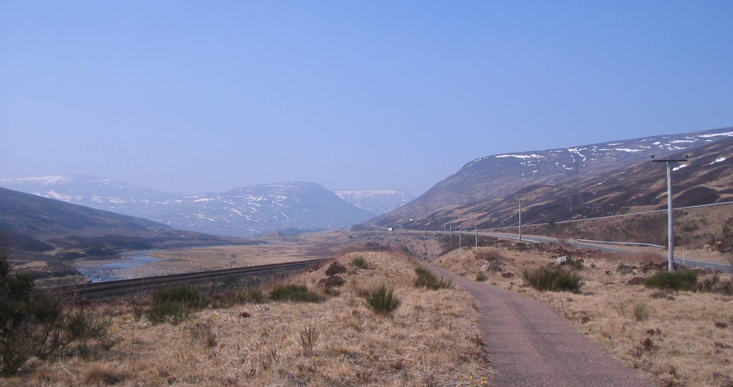
Drumochter March2007.jpg - JBellis~commonswiki

Logierait Bridge.jpg - Angusmclellan

Drumochter Pass from Boar of Badenoch.jpg - Mick Knapton

Loch Dee - geograph.org.uk - 2865.jpg - GeographBot

A Driech Day - geograph.org.uk - 40872.jpg - GeographBot

Cycle Path - geograph.org.uk - 35617.jpg - GeographBot

Cycle Track - geograph.org.uk - 35970.jpg - GeographBot

Bullrushes - geograph.org.uk - 40859.jpg - GeographBot
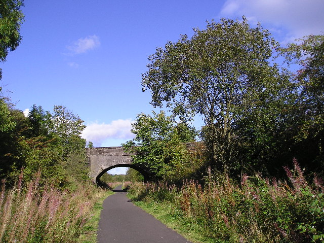
Cycle Track - geograph.org.uk - 54037.jpg - GeographBot

Gartmore Road leading towards Drymen - geograph.org.uk - 79080.jpg - GeographBot

New cycle route - geograph.org.uk - 62925.jpg - GeographBot

Nunnery Hill - geograph.org.uk - 60640.jpg - GeographBot

Old Railway Bridge - geograph.org.uk - 75977.jpg - GeographBot

Wall - geograph.org.uk - 62976.jpg - GeographBot

Waymarker - geograph.org.uk - 64765.jpg - GeographBot

Waymarker - geograph.org.uk - 54040.jpg - GeographBot

National Cycle Route No. 7 - geograph.org.uk - 85916.jpg - GeographBot

Drymen Road Cottage - geograph.org.uk - 125812.jpg - GeographBot

Mutton Hall - geograph.org.uk - 136532.jpg - GeographBot

Drumochter Pass by Dalnaspidal - geograph.org.uk - 149947.jpg - GeographBot

Track, cycle route 7 - geograph.org.uk - 144546.jpg - GeographBot

Croftamie Cycleway - geograph.org.uk - 171151.jpg - GeographBot

Cumbria Cycleway - geograph.org.uk - 179728.jpg - GeographBot

Cumbria Cycleway - geograph.org.uk - 179740.jpg - GeographBot
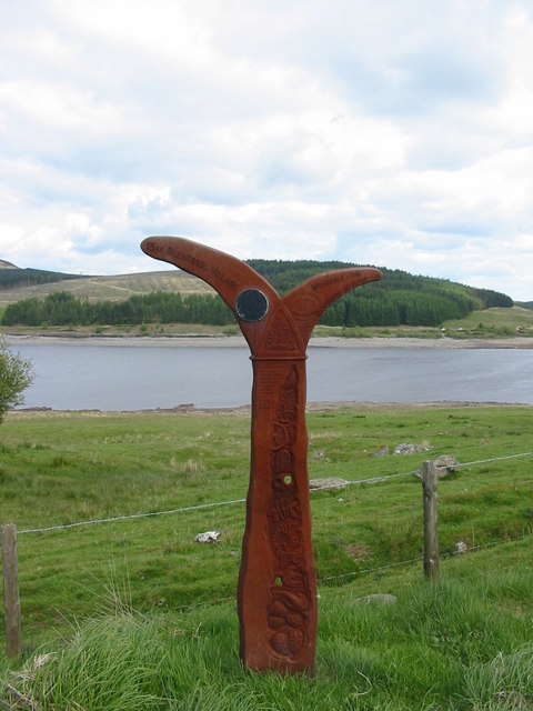
The National Cycle Network Milepost on the shore of Clatteringshaws Loch - geograph.org.uk - 179307.jpg - GeographBot

National Cycle Route No. 7 - geograph.org.uk - 201539.jpg - GeographBot

Bridges - geograph.org.uk - 224840.jpg - GeographBot

Cycle Route ^7 - geograph.org.uk - 235072.jpg - GeographBot

National Cycleway, Dalfaber - geograph.org.uk - 228116.jpg - GeographBot

National Cycleway No. 7, Boat of Garten - geograph.org.uk - 228135.jpg - GeographBot

Perth-Inverness Sustrans - geograph.org.uk - 213460.jpg - GeographBot

Route 7 sign - geograph.org.uk - 232271.jpg - GeographBot

Slochd Pass - geograph.org.uk - 233114.jpg - GeographBot

Sustrans Route 7 - geograph.org.uk - 232267.jpg - GeographBot
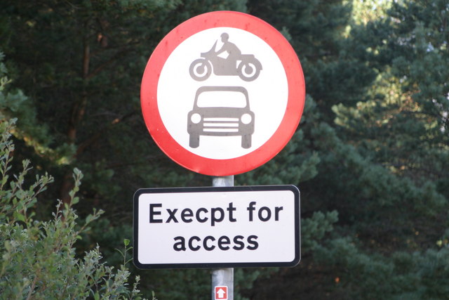
Weird sign - geograph.org.uk - 235067.jpg - GeographBot

NCN milepost at Lyneside - geograph.org.uk - 248307.jpg - GeographBot

Perth to Inverness railway line north - geograph.org.uk - 245594.jpg - GeographBot

Cyclists ascending the Nick of the Balloch - geograph.org.uk - 263388.jpg - GeographBot

Nick of the Balloch (south side) - geograph.org.uk - 263384.jpg - GeographBot

Sign at Parkhead Station - geograph.org.uk - 297621.jpg - GeographBot

Bridge on the Cycleway - geograph.org.uk - 300158.jpg - GeographBot

End of the Tarmac, National Cycleway 7 - geograph.org.uk - 310138.jpg - GeographBot

NCN 7 - geograph.org.uk - 314384.jpg - GeographBot

National Cycle Network route 7 near Craigencallie - geograph.org.uk - 324174.jpg - GeographBot

Sustrans Cycle Route 7 - geograph.org.uk - 330248.jpg - GeographBot

Zigzags on Callander to Strathyre Cycleway - geograph.org.uk - 394787.jpg - GeographBot

National Cycle Route 7 Near Blairs - geograph.org.uk - 431725.jpg - GeographBot

River Cree at Low Tide - geograph.org.uk - 431741.jpg - GeographBot

Tree Near Blairs - geograph.org.uk - 431730.jpg - GeographBot

Cycle path mile marker - geograph.org.uk - 448926.jpg - GeographBot

NCR 7 above Loch Grannoch - geograph.org.uk - 453648.jpg - GeographBot

NCR 7 forest track - geograph.org.uk - 453649.jpg - GeographBot

NCR 7 forest track - geograph.org.uk - 453654.jpg - GeographBot

Towards Round Fell from NCR7 - geograph.org.uk - 453644.jpg - GeographBot

Cycle path along the route of an old railway line - geograph.org.uk - 486738.jpg - GeographBot

Maxwelltown Cycle Path, route no. 7 of the National Cycle Path Network - geograph.org.uk - 486729.jpg - GeographBot

Junction of the N7 Off-road cycle route and the track leading to Loch Grannoch - geograph.org.uk - 535382.jpg - GeographBot

Track to Loch Fleet from the N7 Off-road cycle route - geograph.org.uk - 535389.jpg - GeographBot

Colourful Bridge - geograph.org.uk - 571393.jpg - GeographBot

Pitlochry railway station sign - geograph.org.uk - 575423.jpg - GeographBot

Langslie Bridge - geograph.org.uk - 586452.jpg - GeographBot

Cycle Track - geograph.org.uk - 607593.jpg - GeographBot

Dargall Lane - geograph.org.uk - 633402.jpg - GeographBot

Forestry operations at Clatteringshaws - geograph.org.uk - 633403.jpg - GeographBot

Stream off Bennanbrack - geograph.org.uk - 633401.jpg - GeographBot

NCN 7 - geograph.org.uk - 650786.jpg - GeographBot
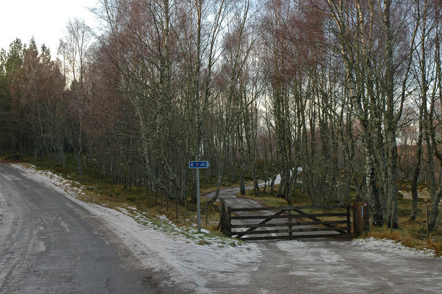
National cycle route 7 - geograph.org.uk - 658084.jpg - GeographBot

Brown signs - geograph.org.uk - 680884.jpg - GeographBot

Cattle Grid - geograph.org.uk - 724682.jpg - GeographBot

Cycleway Plaque - geograph.org.uk - 724673.jpg - GeographBot

Cycleway Near Aviemore - geograph.org.uk - 764231.jpg - GeographBot

Cycleway Near Aviemore - geograph.org.uk - 764351.jpg - GeographBot

Road bridge over the old Crieff to Balquhidder railway - geograph.org.uk - 773567.jpg - GeographBot

Carlisle cycle way between rail and river Caldew - geograph.org.uk - 828784.jpg - GeographBot

Old Gartmore Road - geograph.org.uk - 828462.jpg - GeographBot

Queen of the South Viaduct - geograph.org.uk - 873189.jpg - GeographBot

Railway path at Glen Ogle - geograph.org.uk - 873282.jpg - GeographBot

Mabie Forest - Trail Information Sign - geograph.org.uk - 892007.jpg - GeographBot

A millennium milepost - geograph.org.uk - 917739.jpg - GeographBot

Milepost on National Cycle Network 7 - geograph.org.uk - 918875.jpg - GeographBot

Cycleway near Lochwinnoch - geograph.org.uk - 922219.jpg - GeographBot

National Cycle Network 7 - geograph.org.uk - 928183.jpg - GeographBot

National Cycle Network 7 - geograph.org.uk - 928187.jpg - GeographBot

National Cycle Network Route 7 - geograph.org.uk - 928178.jpg - GeographBot

National Cycle Route 7 in Bar Hill Woods - geograph.org.uk - 933039.jpg - GeographBot

National Cycle Route No.7 - geograph.org.uk - 989909.jpg - GeographBot

National Cycle Route No.7 - geograph.org.uk - 989915.jpg - GeographBot

National Cycle Route No.7 - geograph.org.uk - 989920.jpg - GeographBot

Cycleway 7 Beside A9 - geograph.org.uk - 1036036.jpg - GeographBot

Shorngate Cross - geograph.org.uk - 1035595.jpg - GeographBot

Shorngate Cross - geograph.org.uk - 1035599.jpg - GeographBot

Bridge on Old A9 Tomatin to Slochd Summit Crossing Railway - geograph.org.uk - 1051487.jpg - GeographBot

Flats at St Ronan's Lane - geograph.org.uk - 1110790.jpg - GeographBot

Cycle route - geograph.org.uk - 1137832.jpg - GeographBot
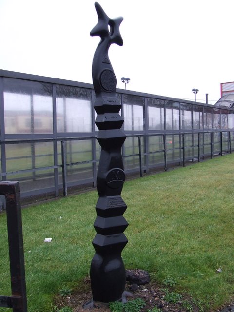
Cycle route marker - geograph.org.uk - 1137775.jpg - GeographBot

Cycle route marker - geograph.org.uk - 1137776.jpg - GeographBot

Bridge, Sustrans Route 7 - geograph.org.uk - 1154539.jpg - GeographBot

Campsite at Easter Drumquhassle Farm - geograph.org.uk - 1163467.jpg - GeographBot

Bridge over the Brow Burn - geograph.org.uk - 1176366.jpg - GeographBot

Sustrans Cycle Route, Johnstone - geograph.org.uk - 1183111.jpg - GeographBot

Old Military Road approaching Lochfoot - geograph.org.uk - 1324878.jpg - GeographBot

Old Military Road at Rigfoot - geograph.org.uk - 1324785.jpg - GeographBot

Old Military Road below Barnbackle Hill - geograph.org.uk - 1324839.jpg - GeographBot

Village street, Milton - geograph.org.uk - 1324724.jpg - GeographBot

C2C route approaching Allenheads - geograph.org.uk - 1353980.jpg - GeographBot

Millennium milepost - geograph.org.uk - 1359806.jpg - GeographBot

National Cycle Route 75 and 7 - geograph.org.uk - 1359774.jpg - GeographBot

National Cycle Network Route, number 7, at the end of the B796 - geograph.org.uk - 1362652.jpg - GeographBot

Road signs near Gatehouse Station. - geograph.org.uk - 1362641.jpg - GeographBot

Millennium Milepost - geograph.org.uk - 1394035.jpg - GeographBot

Brick buttress on the Glen Ogle railway walk - geograph.org.uk - 1406964.jpg - GeographBot

Bridge over the Dee at Kirkcudbright - geograph.org.uk - 1423823.jpg - GeographBot

Cycle Route No 7 at Lochwinnoch - geograph.org.uk - 1429902.jpg - GeographBot

Bridge over Cycle Track Lochwinnoch - geograph.org.uk - 1430839.jpg - GeographBot

Bridge over the Kilbarchan Loop - geograph.org.uk - 1441260.jpg - GeographBot

Cutting, Kilbarchan Loop Railway - geograph.org.uk - 1443231.jpg - GeographBot

Dalry and North Johnstone Line - geograph.org.uk - 1443093.jpg - GeographBot

Disused railway, Lochwinnoch - geograph.org.uk - 1443030.jpg - GeographBot

Kilbarchan loop, Castle Semple - geograph.org.uk - 1442746.jpg - GeographBot

Kilbarchan loop - geograph.org.uk - 1443027.jpg - GeographBot

Kilbarchan loop - geograph.org.uk - 1443234.jpg - GeographBot

Millennium milepost, Kilwinning - geograph.org.uk - 1448437.jpg - GeographBot

Millennium milepost - geograph.org.uk - 1447809.jpg - GeographBot

Millennium milepost - geograph.org.uk - 1447824.jpg - GeographBot

National Cycle Route 7, Barr Castle - geograph.org.uk - 1443065.jpg - GeographBot

National Cycle Route 7, Castle Semple - geograph.org.uk - 1442736.jpg - GeographBot

National Cycle Route 7, Kilbarchan - geograph.org.uk - 1447843.jpg - GeographBot

National Cycle Route 7 passing Kilbirnie - geograph.org.uk - 1443381.jpg - GeographBot

Path junction - geograph.org.uk - 1447801.jpg - GeographBot

Trough crossing the Lochwinnoch Loop railway - geograph.org.uk - 1443228.jpg - GeographBot

National Cycle Network in Glen Kendrum - geograph.org.uk - 1474991.jpg - GeographBot
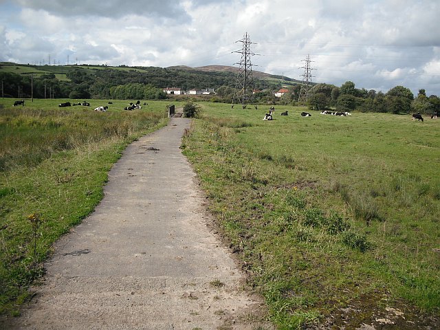
National Cycle Route 7 - geograph.org.uk - 1471508.jpg - GeographBot

National Cycle Route 7 - geograph.org.uk - 1479982.jpg - GeographBot

NCN mile marker and signpost - geograph.org.uk - 1505573.jpg - GeographBot

NCN path at Rowley - geograph.org.uk - 1505560.jpg - GeographBot

The Waskerley Way by Hown's Farm - geograph.org.uk - 1505610.jpg - GeographBot

Drymen Road Cottage and road. - geograph.org.uk - 1516556.jpg - GeographBot

A Special Milepost - geograph.org.uk - 1539950.jpg - GeographBot

National Cycle Network 7 milepost - geograph.org.uk - 1531535.jpg - GeographBot

Millennium milepost - geograph.org.uk - 1545490.jpg - GeographBot

National Cycle Route 7 - geograph.org.uk - 1543445.jpg - GeographBot
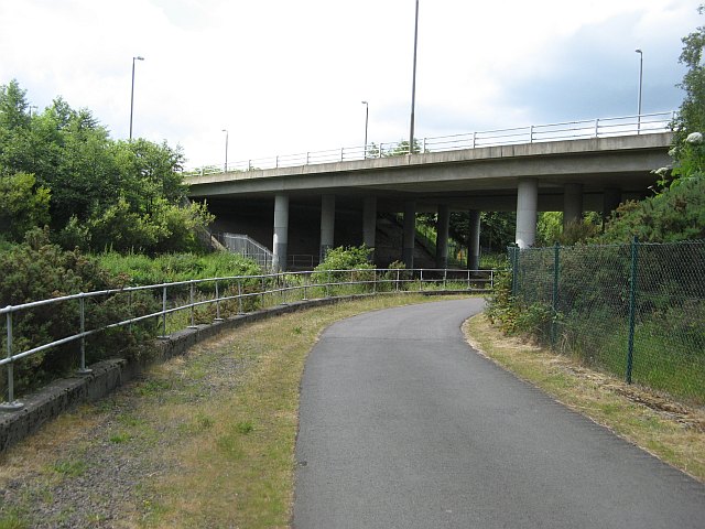
National Cycle Route 7 - geograph.org.uk - 1543476.jpg - GeographBot

National Cycle Route 7 and 75 milepost - geograph.org.uk - 1545442.jpg - GeographBot

National Cycle Route 7 and 75 milepost - geograph.org.uk - 1545472.jpg - GeographBot

Drymen - Gartmore road - geograph.org.uk - 1557196.jpg - GeographBot

National Cycle Route 7 and 75 milepost - geograph.org.uk - 1559634.jpg - GeographBot

National Cycle Route 7 and 75 milepost - geograph.org.uk - 1559665.jpg - GeographBot

NCN Route 7, Dumbarton Bridge to Artizan Bridge - geograph.org.uk - 1562346.jpg - GeographBot

National Cycle Route 7 and 75 milepost - geograph.org.uk - 1560203.jpg - GeographBot

Parking area for Dalreoch railway station - geograph.org.uk - 1562387.jpg - GeographBot

National Route 7 - Off to Sluggan - geograph.org.uk - 1593473.jpg - GeographBot

Moorland and sheepfold above Hope Head - geograph.org.uk - 1614147.jpg - GeographBot

National Cycle Network route 7 - geograph.org.uk - 1624844.jpg - GeographBot

National Cycle Network route 7 - geograph.org.uk - 1625067.jpg - GeographBot

Millennium Milepost, Gailes - geograph.org.uk - 1671001.jpg - GeographBot

Millennium Milepost, Montgomery Street - geograph.org.uk - 1670014.jpg - GeographBot

Millennium Milepost outside the Magnum Centre - geograph.org.uk - 1670089.jpg - GeographBot

Cycle network sign - geograph.org.uk - 1733193.jpg - GeographBot

Drumochter Pass cycle route - geograph.org.uk - 1733216.jpg - GeographBot

C2C summit - geograph.org.uk - 1745515.jpg - GeographBot

C2C summit - geograph.org.uk - 1745520.jpg - GeographBot

Cycle track under snow - geograph.org.uk - 1747821.jpg - GeographBot

NCN Ranger-Markierung.jpg - Tine

Logo NCN 7.jpg - Tine

Cycle route sign at Loch Dee (6600501295).jpg - File Upload Bot (Magnus Manske)

NCN Route 7.svg - Vavasharp

NCN Route Sign 7.svg - Vavasharp

Cycle path, Drumochter - geograph.org.uk - 2026977.jpg - GeographBot

National Cycle Network route 7 - geograph.org.uk - 2107435.jpg - GeographBot

National Cycleway No. 7 - geograph.org.uk - 2392804.jpg - GeographBot

National Cycle Route 7 near Garry Dam - geograph.org.uk - 3188472.jpg - GeographBot

National Cycle Network milepost above the River Wear (geograph 4533281).jpg - Sic19

National Cycle Network, Route 7 - geograph.org.uk - 3779381.jpg - GeographBot

National Cycle Route 7 or C2C Route - geograph.org.uk - 4365460.jpg - GeographBot

National Cycle Route 7 or C2C Cycle Route between Consett and Hownsgill - geograph.org.uk - 4365477.jpg - GeographBot

National Cycle Network Route 7 - geograph.org.uk - 5389826.jpg - GeographBot

Millennium Milepost, National Cycle Route 5 - geograph.org.uk - 5510863.jpg - GeographBot

Road to Sandgreen ^ Cycle Route 7 - geograph.org.uk - 4419780.jpg - GeographBot
❮
❯


