Wikimedi'Òc
Modes d'emploi

Cet album fait partie des albums
Cet album photos contient les sous-albums suivants :


US map - states and capitals.png - Runner1928

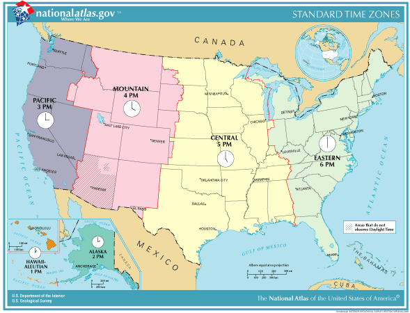
TimeZonesUSA.png - Adam~commonswiki
USA 2000 population density key.png - Falcorian
USA 2000 population density.png - Falcorian
National Atlas logo.png - Optimager~commonswiki
USA 2000 Black Density.PNG - Walden69

Average precipitation in the lower 48 states of the USA.png - Tom
National Atlas of the United States Logo.svg - Keeleysam

Map of Virgin Islands NA.png - Huebi~commonswiki

U.S. Territorial Acquisitions.png - Petri Krohn
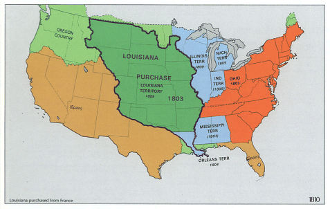
National-atlas-1970-1810-loupurchase.png - Starscream

National-atlas-puerto-rico-virgin-islands.png - Electionworld
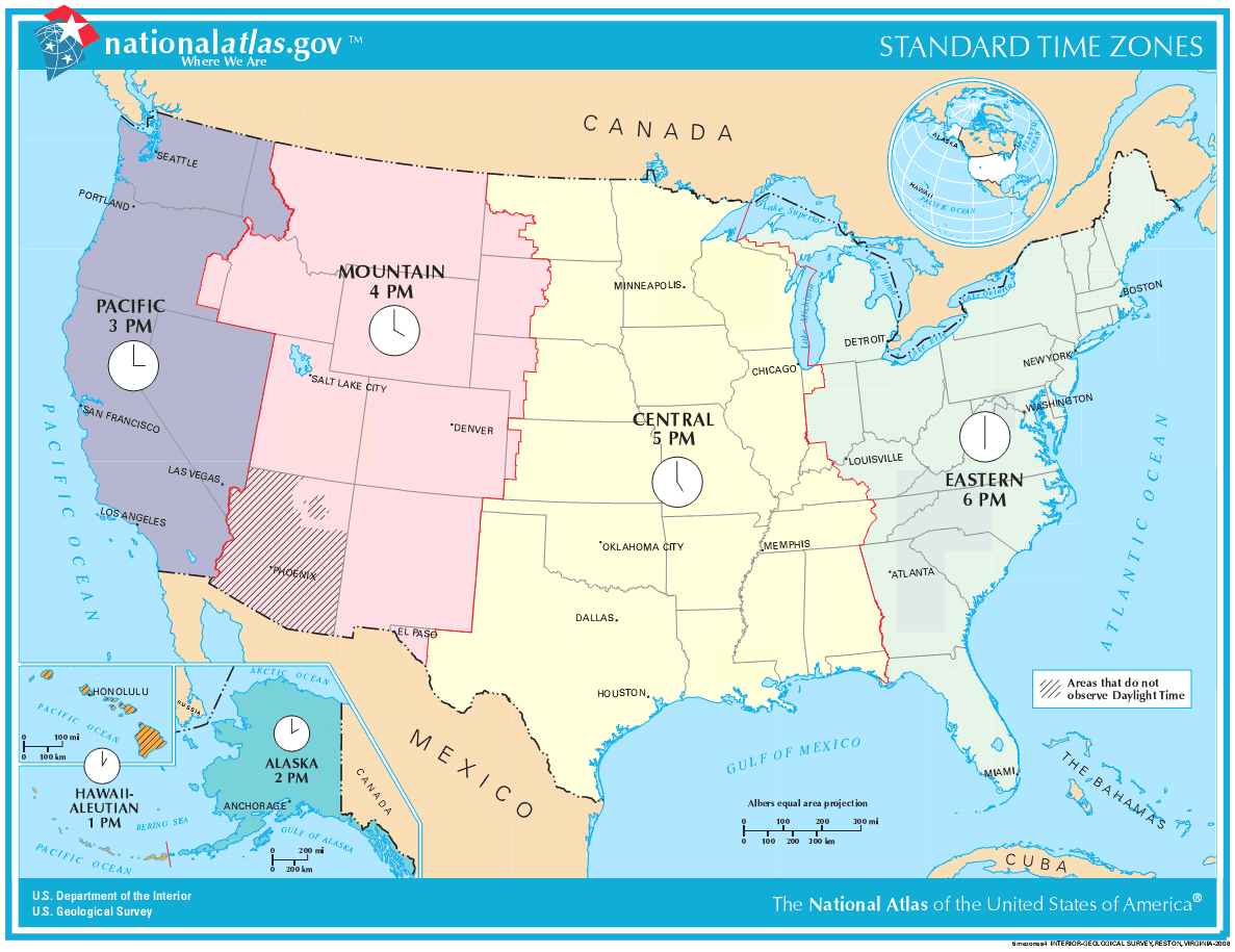
TimeZonesUSA large.png - Ken g6
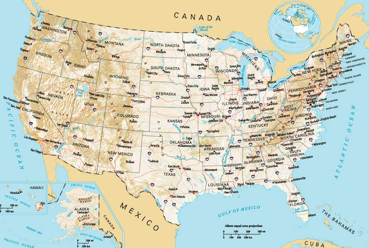
National-atlas-general-reference-map-USA.png - Beao

National-atlas-states-brightcolors.png - BetacommandBot
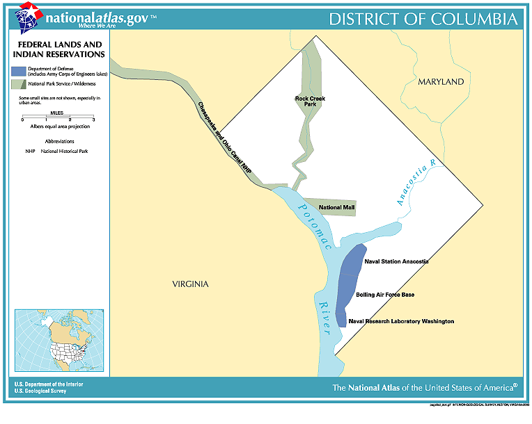
National-atlas-district-of-columbia.gif - BetacommandBot

USA 2000 population density.jpg - BetacommandBot

USA-2000-population-density.gif - McZusatz
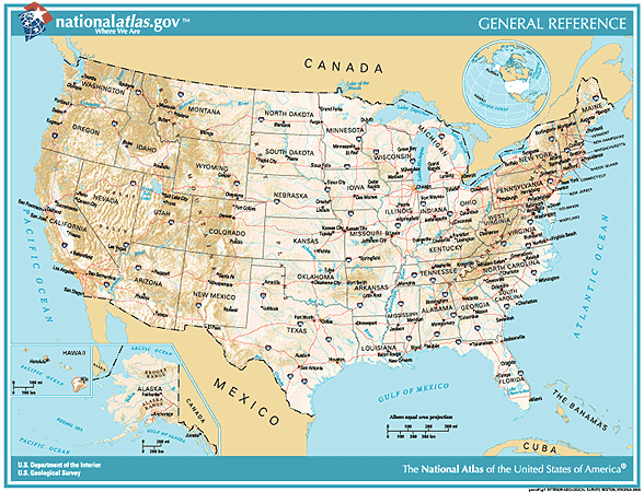
Genref-national-atlas.gif - BetacommandBot
National-atlas-timezones-2006.gif - BetacommandBot

Pagecgd109 us3.gif - BetacommandBot

US-Timezones.svg - Alejandroadan

Aquired Lands of the US.svg - Namoroka

National Atlas.gif - Sockamina
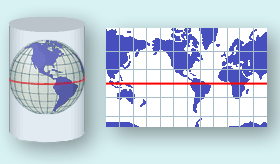
National Atlas Projection.gif - Adrignola
National Atlas Mercator.gif - Adrignola
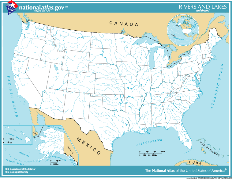
National-atlas-usa-rivers-unlabeled.png - File Upload Bot (Magnus Manske)
2008 party vote county.pdf - Futurist110

UnitedStatesExpansion.png - Feminist

United states wall 2002 us.jpg - Josve05a
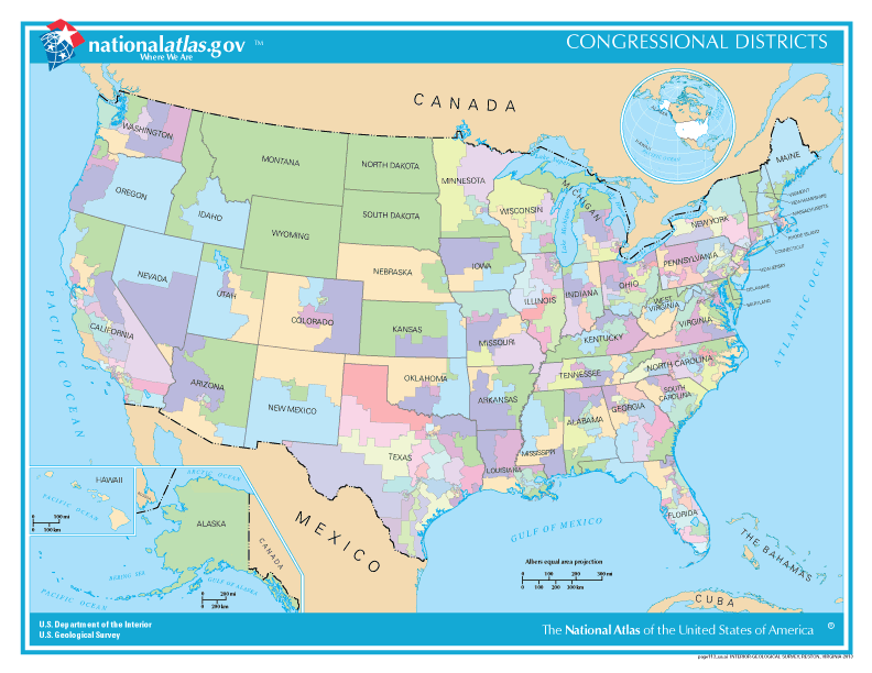
Congressional districts.gif - FastilyClone

National Atlas of the USA 1970 - Pacific Outlying Areas.jpg - Mauerquadrant
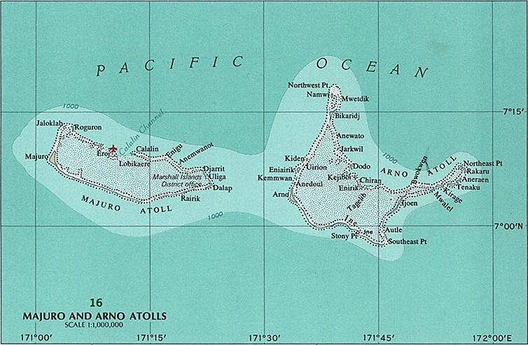
Majuro and Arno Atolls.jpg - Mauerquadrant

Palau Islands.jpg - Mauerquadrant

Truk Islands.jpg - Mauerquadrant

Truk Islands (cropped).jpg - Mauerquadrant
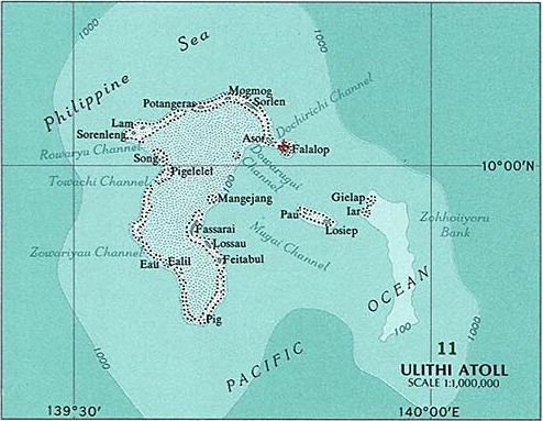
Ulithi Atoll.jpg - Mauerquadrant

Yap Islands 2.jpg - Mauerquadrant
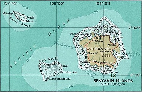
Senyavin Islands.jpg - Mauerquadrant

Kusaie (Kosrae).jpg - Mauerquadrant
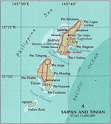
Saipan and Tinian 2.jpg - Mauerquadrant
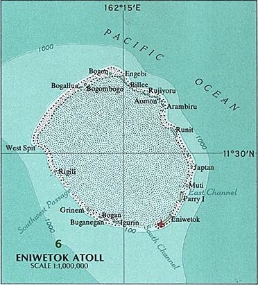
Eniwetok Atoll.jpg - Mauerquadrant
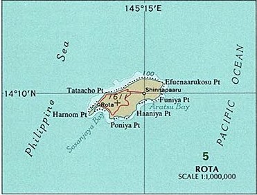
Rota 2.jpg - Mauerquadrant

Bikini Atoll 2.jpg - Mauerquadrant

Jaluit Atoll.jpg - Mauerquadrant

Kwajalein Atoll 2.jpg - Mauerquadrant

Majuro and Arno Atolls 2.jpg - Mauerquadrant

Wake Island 2.jpg - Mauerquadrant

Midway Islands 2.jpg - Mauerquadrant

Canton Island 2.jpg - Mauerquadrant

Johnston Atoll 2.jpg - Mauerquadrant

Enderbury Atoll.jpg - Mauerquadrant
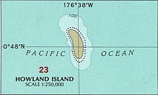
Howland Island 2.jpg - Mauerquadrant

Guam 22.jpg - Mauerquadrant
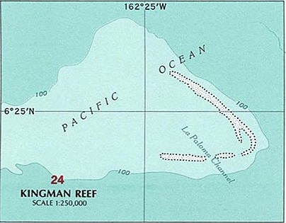
Kingman Reef 2.jpg - Mauerquadrant

Palmyra Atoll 2.jpg - Mauerquadrant

Tutuila Island.jpg - Mauerquadrant
Jarvis Island 2.jpg - Mauerquadrant
Baker Island 2.jpg - Mauerquadrant

Manua Islands.jpg - Mauerquadrant
Swains Island.jpg - Mauerquadrant
Rose and Sand Islands.jpg - Mauerquadrant

08 elect13.svg - Born Isopod

Aquired Lands of the US zh-hans.svg - ZenSake

Aquired Lands of the US ko.svg - Namoroka