Wikimedi'Òc
Modes d'emploi

Cet album fait partie des albums
Cet album photos contient les sous-albums suivants :


Bufumbira volcanic field.jpg - Michael Metzger
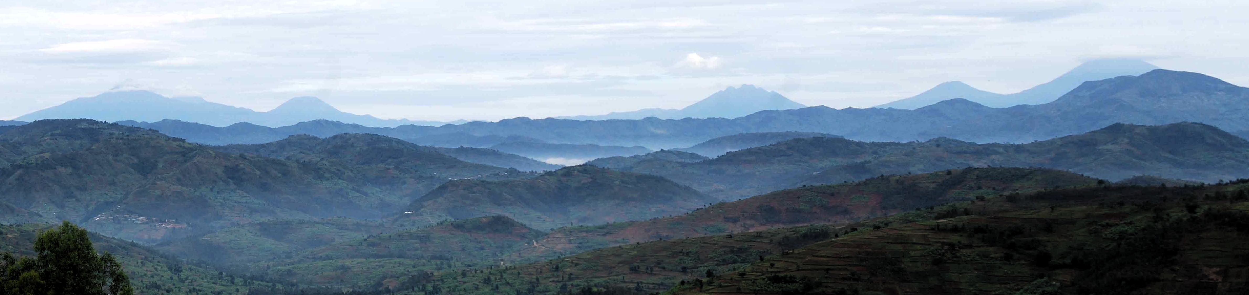
Rwanda i vista dels volcans Virunga.jpg - Paracel63

Mount Sabyinyo - 3rd peak.JPG - Inisheer

Mount Sabynyio - virgin forest limit.JPG - Inisheer

Mount Sabyinyo - 1st peak.JPG - Inisheer
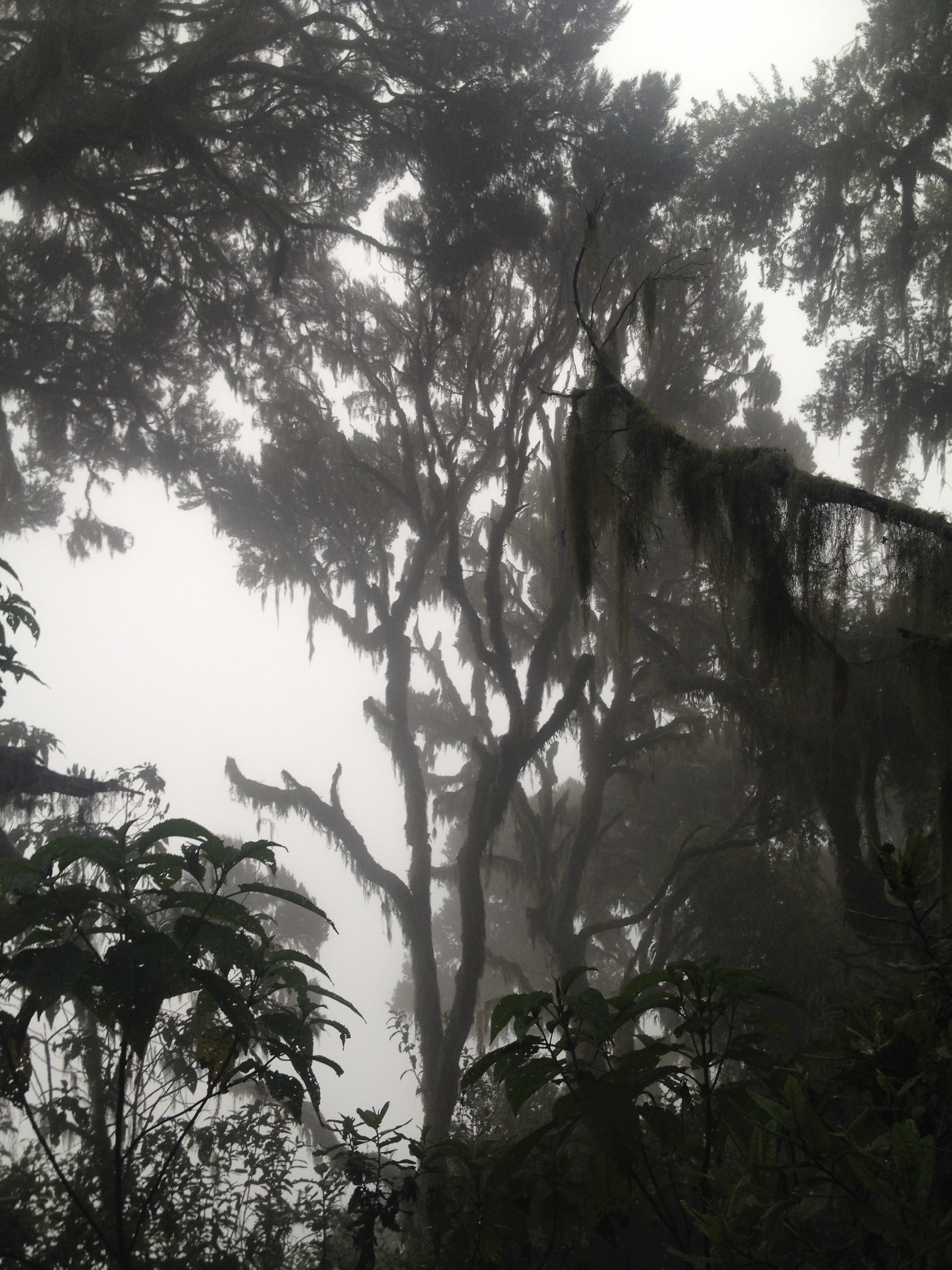
Mount Sabynyio - forest 01.JPG - Inisheer

Mount Sabynyio - ladder.JPG - Inisheer

Mount Sabynyio - forest 02.JPG - Inisheer

Mount Sabynyio - forest 04.JPG - Inisheer

Mount Sabynyio - forest 03.JPG - Inisheer

Mount Sabynyio - 2nd peak.JPG - Inisheer

Mount Sabynyio - forest 05.JPG - Inisheer

Mount Sabyinyo.JPG - Lutz2015

Skeleton Map Showing Anglo-German Boundary from Mt. Sabinio to Source of River Chizinga. (WOOS-17-3).jpg - Ndalyrose

Map Attached to Protocol Describing Boundary between the Uganda Protectorate and German East Africa from Mt. Sabinio to Source of R. Chizinga. (WOOS-17-2).jpg - Ndalyrose

Mount Sabinyo, from Uganda.JPG - Jgdb500

Ornithological Survey in the Sub-Alpine bog grassland of Mount Sabinyo.JPG - Jgdb500

Sabyinyo vu de JOMBA (RDC).jpg - REUL Philippe

Mt. Sabyinyo and a proud Warrior Dancer Intore.jpg - Ngomijana

Mgahinga Banner.JPG - SelfieCity

PeaceCorpsUganda-Mt.Sabinyinyo.jpg - VirginiaNjenga

Mountain Sabyinyo.jpg - Lionpock

Mount Sabyinyo 2.jpg - Jonas Antony

Ikirunga cya Sabyinyo.jpg - Annick green

Sabyinyo volcanos.jpg - Fikiri-jenly