Wikimedi'Òc
Modes d'emploi

Cet album fait partie des albums
Cet album photos contient les sous-albums suivants :


St John's Well.jpg - Peter I. Vardy
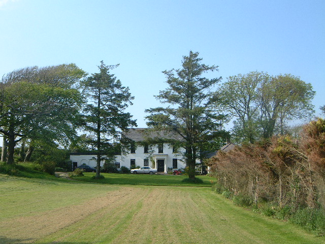
Eastaway Manor - geograph.org.uk - 88482.jpg - GeographBot
Hawkers 2 Cottage - geograph.org.uk - 80835.jpg - GeographBot

Morwenstow Satellite Station - geograph.org.uk - 88491.jpg - GeographBot

Coombe Valley - geograph.org.uk - 253183.jpg - GeographBot

Duckpool - geograph.org.uk - 254725.jpg - GeographBot

Steeple Point - geograph.org.uk - 253185.jpg - GeographBot

Trig Pillar - geograph.org.uk - 253214.jpg - GeographBot

Alderbeer - geograph.org.uk - 407351.jpg - GeographBot

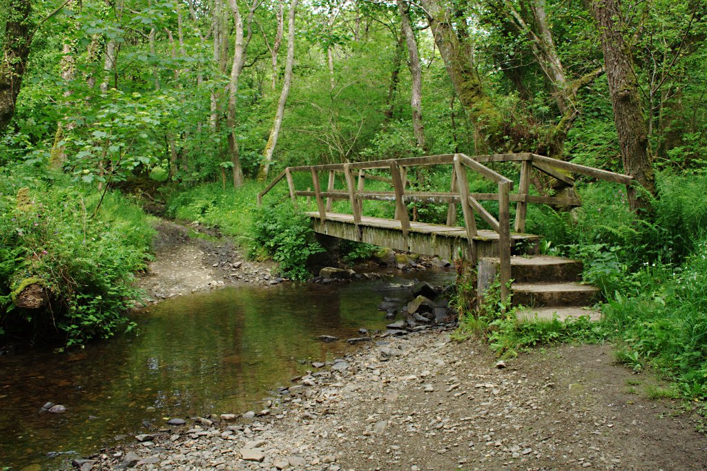
Bridge near Woodford - geograph.org.uk - 405006.jpg - GeographBot

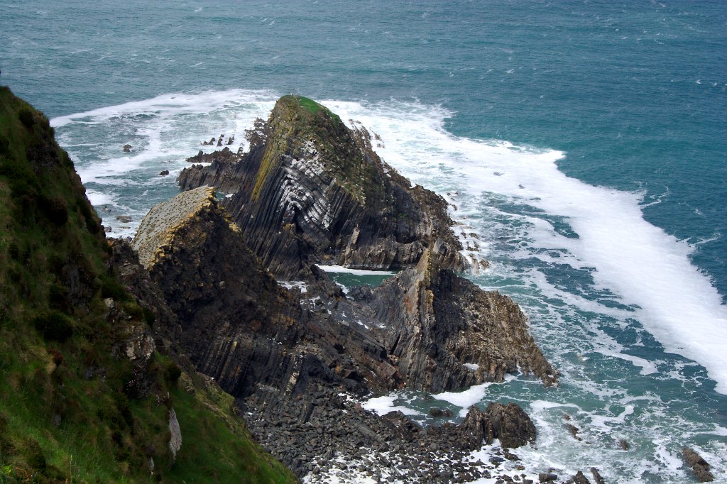
Caunter Beach, a wave-cut platform - geograph.org.uk - 405023.jpg - GeographBot

Farmland to the south of West Youlstone - geograph.org.uk - 407400.jpg - GeographBot

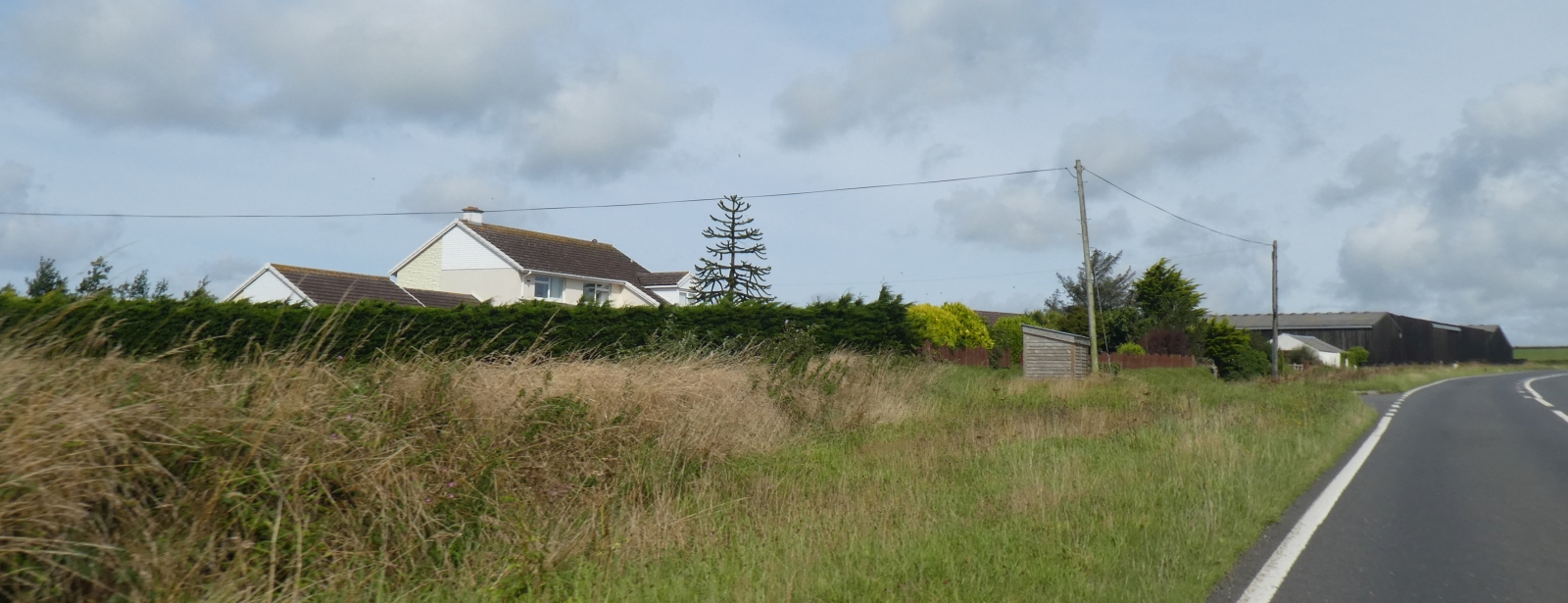
Highborough Farm on the A39, near Kilkhampton - geograph.org.uk - 407326.jpg - GeographBot

Marsborough - geograph.org.uk - 407368.jpg - GeographBot

Marsland Mouth - geograph.org.uk - 402595.jpg - GeographBot

Oilseed rape, Edslee farm - geograph.org.uk - 404994.jpg - GeographBot

Road to Morwenstow - geograph.org.uk - 407385.jpg - GeographBot

Stanbury valley - geograph.org.uk - 405036.jpg - GeographBot

Cattle and blackthorn, Morwenstow - geograph.org.uk - 411999.jpg - GeographBot

Cattle by Stanbury - geograph.org.uk - 412268.jpg - GeographBot
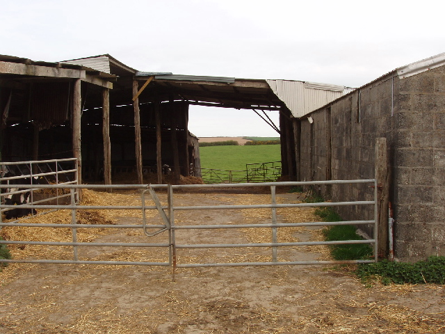
Cattle shed, Edslee Farm - geograph.org.uk - 411926.jpg - GeographBot

Farm buildings at Stanbury - geograph.org.uk - 412266.jpg - GeographBot

Fences round crown property - geograph.org.uk - 412249.jpg - GeographBot

Footpath through Woodford Wood - geograph.org.uk - 414533.jpg - GeographBot

Former gun implacement near Morwenstow - geograph.org.uk - 413337.jpg - GeographBot

Gate of Tonacombe - geograph.org.uk - 412273.jpg - GeographBot

Marsh marigolds and gorse by coastal path - geograph.org.uk - 412203.jpg - GeographBot

Marsland Manor - geograph.org.uk - 411917.jpg - GeographBot

One sheep on cliff edge - geograph.org.uk - 412219.jpg - GeographBot

Pasture with daisies and dandelions - geograph.org.uk - 412215.jpg - GeographBot

Pasture with gorse and blackthorn near Woodford - geograph.org.uk - 411976.jpg - GeographBot

Ploughed field near Woodford - geograph.org.uk - 413465.jpg - GeographBot

Sea Campion, Silene Maritima - geograph.org.uk - 412213.jpg - GeographBot

Sheep and dishes - geograph.org.uk - 413362.jpg - GeographBot

Sheep and lambs by Tonacombe - geograph.org.uk - 412269.jpg - GeographBot

Sheep on cliff edge - geograph.org.uk - 412217.jpg - GeographBot

Small stream valley at cliff top - geograph.org.uk - 412209.jpg - Geograph Update Bot

Stanbury Beach - geograph.org.uk - 413341.jpg - GeographBot

The Tidna stream - geograph.org.uk - 412191.jpg - GeographBot

Track through Woodford Wood - geograph.org.uk - 414530.jpg - GeographBot

Track to Stanbury from Stanbury Mouth - geograph.org.uk - 412260.jpg - GeographBot

Valley of The Tidna - geograph.org.uk - 412190.jpg - GeographBot

Vicarage Cliff, site of Hawker's Hut, across The Tidna - geograph.org.uk - 412192.jpg - GeographBot

View N-W from Hawker's Hut - geograph.org.uk - 412056.jpg - GeographBot

View W-S-W from Hawker's Hut - geograph.org.uk - 412030.jpg - GeographBot

Wren Beach viewed from Steeple Point - geograph.org.uk - 413469.jpg - GeographBot

Cornakey Cliff - geograph.org.uk - 572369.jpg - GeographBot

Hello ladies^ - geograph.org.uk - 681607.jpg - GeographBot

Deep-set lane - geograph.org.uk - 698369.jpg - GeographBot

Edge of the Atlantic - geograph.org.uk - 698367.jpg - GeographBot

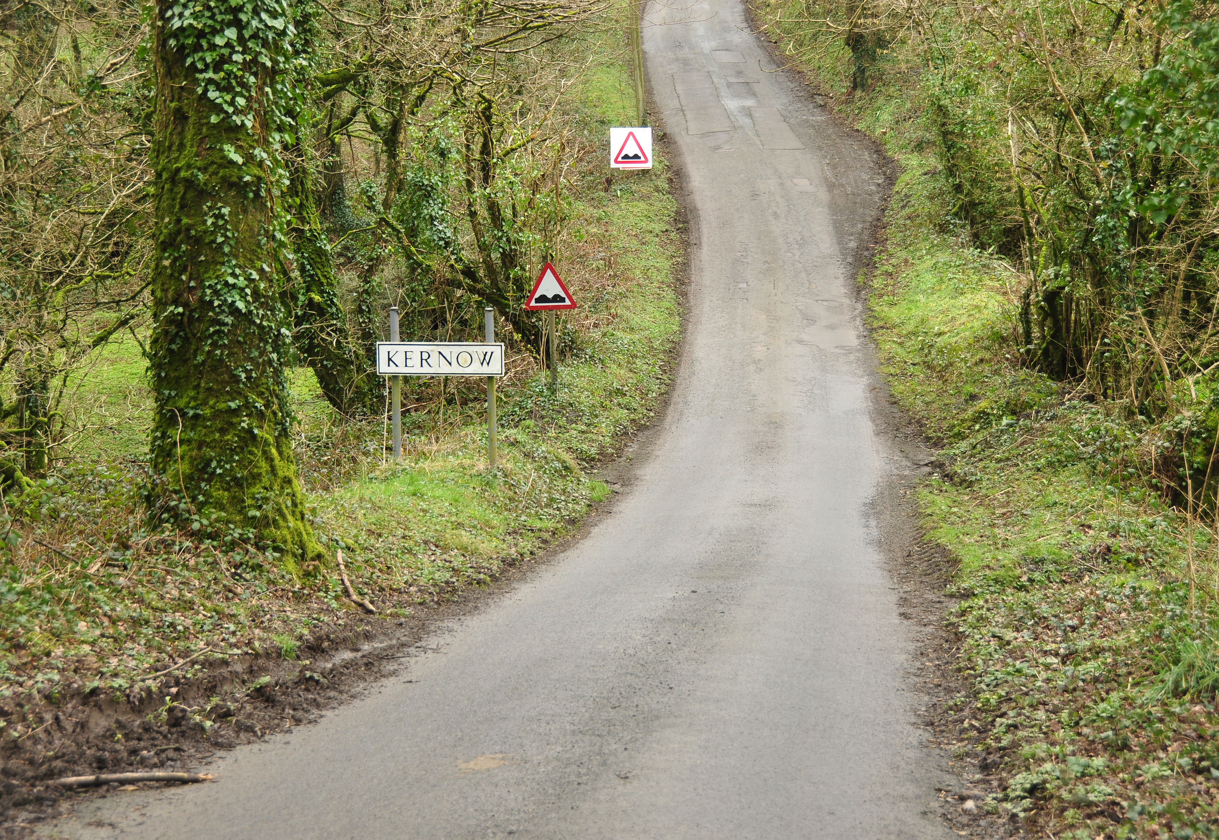
Entering Kernow - geograph.org.uk - 698176.jpg - GeographBot

Hobbs Choice - geograph.org.uk - 698364.jpg - GeographBot

Infant river Tamar - geograph.org.uk - 698185.jpg - GeographBot

Pastoral view near Eastcott - geograph.org.uk - 698370.jpg - GeographBot

Pastures of North Cornwall - geograph.org.uk - 698366.jpg - GeographBot

View north from Woolley Moor - geograph.org.uk - 698212.jpg - GeographBot

Woolley Moor - geograph.org.uk - 698218.jpg - GeographBot

Wireless telegraphy station, lower Sharpnose point - geograph.org.uk - 809008.jpg - GeographBot

Farmland near Lower Stursdon - geograph.org.uk - 839509.jpg - GeographBot

Track near Lower Stursdon - geograph.org.uk - 839523.jpg - GeographBot

Close-up of osteospermum - geograph.org.uk - 872470.jpg - GeographBot

The Farm and the Tree - geograph.org.uk - 983979.jpg - GeographBot

Duckpool, Morwenstow - geograph.org.uk - 1369045.jpg - GeographBot

Stile, Morwenstow - geograph.org.uk - 1369074.jpg - GeographBot

View from clifftop near Morwenstow - geograph.org.uk - 1471019.jpg - GeographBot

Below Vicarage Cliff - geograph.org.uk - 1567746.jpg - GeographBot

Coombe Valley viewed from the coast path - geograph.org.uk - 1568945.jpg - GeographBot

Cornakey Cliff - geograph.org.uk - 1567943.jpg - GeographBot

Cornakey Cliff - geograph.org.uk - 1567945.jpg - GeographBot

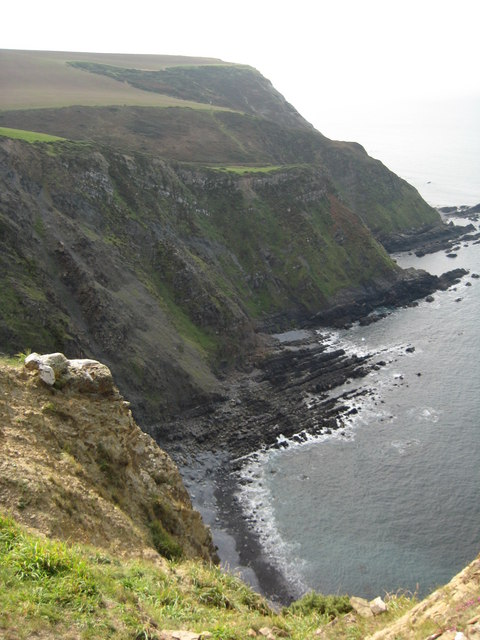
Farmland on Henna Cliff - geograph.org.uk - 1567948.jpg - GeographBot

Morwenstow Church - geograph.org.uk - 1567740.jpg - GeographBot

On Cornakey Cliff - geograph.org.uk - 1567928.jpg - GeographBot

The Tidna - geograph.org.uk - 1567749.jpg - GeographBot
Yeol Mouth - geograph.org.uk - 1567933.jpg - GeographBot

A road through Woolley Moor where the Rivers Torridge and Tamar begin - geograph.org.uk - 1576871.jpg - GeographBot

Morwenstow Satellite Station - geograph.org.uk - 1570206.jpg - GeographBot

Stanbury Valley - geograph.org.uk - 1570193.jpg - GeographBot

The Boundary Stone on the road through Woolley Moor - geograph.org.uk - 1576030.jpg - GeographBot

Direction Sign - Signpost near Crosstown - geograph.org.uk - 7453757.jpg - GeographBot

Cleave Camp Morwenstow, facing east at dawn showing GCHQ Bude dishes December 2013.jpg - Wizzlewick

Vicarage Cliff, Morwenstow.jpg - Nilfanion

Satellite dish at GCHQ Bude.jpg - Nilfanion

Coombe Valley above Duckpool.jpg - Nilfanion

Boundary Stone on Woolley Moor.jpg - Nilfanion

River Tamar between West and East Youlstone.jpg - Nilfanion
Road between West and East Youlstone.jpg - Nilfanion

Rectory Farm, Morwenstow Geograph-2501094-by-Tiger.jpg - Dave.Dunford
Ford in Marsland Wood (geograph 1910478).jpg - Rodw

Lundy Island from the Cliffs near Morwenstow - August 2011 - panoramio.jpg - Panoramio upload bot

Sea cliffs in the rain close to Morwenstow - August 2011 - panoramio.jpg - Panoramio upload bot

Scudding Clouds over Morwenstow - August 2011 - panoramio.jpg - Panoramio upload bot

Valley back to Morwenstow - August 2011 - panoramio.jpg - Panoramio upload bot

Woodlands below Morwenstow - August 2011 - panoramio.jpg - Panoramio upload bot

Path back to Morwenstow - August 2011 - panoramio.jpg - Panoramio upload bot

Bridge in the woods - Morwenstow - August 2011 - panoramio.jpg - Panoramio upload bot

View from the foot of the Church Tower - August 2011 - panoramio.jpg - Panoramio upload bot

The house at Morwenstow - August 2011 - panoramio.jpg - Panoramio upload bot

Sheltered valley after the rain - heading inland to Morwenstow - August 2011 - panoramio.jpg - Panoramio upload bot

Holy Well of St. John, Morwenstow. - panoramio.jpg - Panoramio upload bot

View from Hawker's Hut, Morwenstow. - panoramio.jpg - Panoramio upload bot

Cornish Sunset - panoramio.jpg - Panoramio upload bot

Spies and secrets banner GCHQ Bude dishes.jpg - AlasdairW

Secrets (47093830).jpeg - DarwIn

Gezicht op de Church of St Morwenna and St John the Baptist in Morwenstow, met op de voorgrond een pad en grafstenen, RP-F-F01135-BN.jpg - Broichmore

Interieur van de Church of St Morwenna and St John the Baptist in Morwenstow, RP-F-F01135-BO.jpg - Mr.Nostalgic

House at Crosstown - geograph.org.uk - 1907217.jpg - GeographBot

Over the Valley to Westcott Farm - geograph.org.uk - 1907235.jpg - GeographBot

The View from Hawkers Hut - geograph.org.uk - 1907399.jpg - GeographBot

Across Tidna Shute to Higher Sharpnose Point - geograph.org.uk - 1908480.jpg - GeographBot

Higher Sharpnose Point - geograph.org.uk - 1908493.jpg - GeographBot

The Cliffs above Caunter Beach - geograph.org.uk - 1908509.jpg - GeographBot

Crossing the Stream at Stanbury Mouth - geograph.org.uk - 1908525.jpg - GeographBot

GCHQ Bude - geograph.org.uk - 1908560.jpg - GeographBot

Harscott High Cliff - geograph.org.uk - 1908575.jpg - GeographBot

Coombe Valley - geograph.org.uk - 1908594.jpg - GeographBot

Steeple Point - geograph.org.uk - 1908621.jpg - GeographBot

Yeolmouth Cliffs - geograph.org.uk - 1909943.jpg - GeographBot
Gull Rock - geograph.org.uk - 1909971.jpg - GeographBot

The Mouth of the Marsland Valley - geograph.org.uk - 1909993.jpg - GeographBot

Lane through the Valley - geograph.org.uk - 1910494.jpg - GeographBot

Cory Farm - geograph.org.uk - 1910502.jpg - GeographBot

The Track to Little Bryaton - geograph.org.uk - 1910510.jpg - GeographBot

"Passon" Hawker at Morwenstow - geograph.org.uk - 2497252.jpg - GeographBot

Wind-bent tree - geograph.org.uk - 2497253.jpg - GeographBot

Grave of Huntingdon and Ellen D. Waller - geograph.org.uk - 2501269.jpg - GeographBot

North Cornwall , Devon Sign ^ A39 Road - geograph.org.uk - 2512444.jpg - GeographBot

Two-way waterfall near Higher Sharpnose Point - geograph.org.uk - 2756317.jpg - GeographBot

Stanbury Mouth - geograph.org.uk - 2756433.jpg - GeographBot

Coast towards Higher Sharpnose Point - geograph.org.uk - 2756605.jpg - GeographBot

The Tidna, near Crosstown - geograph.org.uk - 2756706.jpg - GeographBot

Footpath to Tonacombe - geograph.org.uk - 2757698.jpg - GeographBot

Coombe - geograph.org.uk - 2963675.jpg - GeographBot

Duckpool, Coombe - geograph.org.uk - 2963678.jpg - GeographBot

Cliff at Steeple Point - geograph.org.uk - 2963689.jpg - GeographBot

South-west Coast Path above Stanbury Mouth - geograph.org.uk - 2963701.jpg - GeographBot

Higher Sharpnose Point - geograph.org.uk - 2963713.jpg - GeographBot

Gull Rock - geograph.org.uk - 2966900.jpg - GeographBot

Wave-cut platform, Cotton Beach - geograph.org.uk - 3108362.jpg - GeographBot

Beach and cliffs, Yeol Mouth - geograph.org.uk - 3111336.jpg - GeographBot

Footbridge over stream, Yeol Mouth - geograph.org.uk - 3111414.jpg - GeographBot

Coast path and marker, Westcott Wattle - geograph.org.uk - 3113068.jpg - GeographBot

Coast path and marker, Henna Cliff - geograph.org.uk - 3113148.jpg - GeographBot

The Tidna - geograph.org.uk - 3304752.jpg - GeographBot

Path to cliff above Hippa Rock - geograph.org.uk - 3304757.jpg - GeographBot

Foreshore of Hippa Rock - geograph.org.uk - 3304771.jpg - GeographBot

The Tidna - geograph.org.uk - 3304782.jpg - GeographBot

Cliff below Hawker's hut - geograph.org.uk - 3304797.jpg - GeographBot

Figurehead at Morwenstow - geograph.org.uk - 3416700.jpg - GeographBot

The community of Crosstown - geograph.org.uk - 3428808.jpg - GeographBot

The church tower of SS Morwenna ^ John the Baptist - geograph.org.uk - 3428830.jpg - GeographBot

Cornwall , The A39 ^ Cornwall Sign - geograph.org.uk - 4076644.jpg - GeographBot

Cornwall , Country Lane - geograph.org.uk - 4076647.jpg - GeographBot

Cornwall , The A39 - geograph.org.uk - 4076657.jpg - GeographBot

Wave cut platform - Duckpool - geograph.org.uk - 4099018.jpg - GeographBot

Hi Spec at Endslee Farm^ - geograph.org.uk - 4100296.jpg - GeographBot

Lane on Woolley Moor - geograph.org.uk - 4107149.jpg - GeographBot

Field entrance near West Youlstone - geograph.org.uk - 4107309.jpg - GeographBot

A39 in rainy Cornwall - geograph.org.uk - 4107315.jpg - GeographBot

View towards Warren Point - geograph.org.uk - 4134823.jpg - GeographBot

South West Coast Path - Duckpool - geograph.org.uk - 4134826.jpg - GeographBot

View up Coombe Valley - geograph.org.uk - 4134829.jpg - GeographBot

Sausage fest - Duckpool - geograph.org.uk - 4134855.jpg - GeographBot

I want to build a sandcastle - geograph.org.uk - 4134858.jpg - GeographBot

Steeple Point - Duckpool - geograph.org.uk - 4134861.jpg - GeographBot

Storm berm - Duckpool - geograph.org.uk - 4134865.jpg - GeographBot

Storm berm - Duckpool - geograph.org.uk - 4134869.jpg - GeographBot

View north across Duckpool - geograph.org.uk - 4134872.jpg - GeographBot

South West Coast Path - Duckpool - geograph.org.uk - 4134881.jpg - GeographBot

Smooth fault line - Duckpool - geograph.org.uk - 4134890.jpg - GeographBot

Not an easy beach to walk on - Duckpool - geograph.org.uk - 4134892.jpg - GeographBot

Rock pool at Duckpool - geograph.org.uk - 4134893.jpg - GeographBot

Gentle slope of Warren Point - geograph.org.uk - 4134896.jpg - GeographBot

Below Steeple Point - geograph.org.uk - 4134897.jpg - GeographBot

Rocks at Duckpool - geograph.org.uk - 4134898.jpg - GeographBot

Enjoying the sea - Duckpool - geograph.org.uk - 4134901.jpg - GeographBot

Parking at Duckpool - geograph.org.uk - 4134902.jpg - GeographBot

End of the day - geograph.org.uk - 4134903.jpg - GeographBot

A timeless scene - Duckpool - geograph.org.uk - 4134906.jpg - GeographBot

Assorted farm equipment - geograph.org.uk - 4141132.jpg - GeographBot

Cattle shed - Edslee Farm - geograph.org.uk - 4141133.jpg - GeographBot

Ford at Darracott - geograph.org.uk - 4189109.jpg - GeographBot

Morwenstow sundial - geograph.org.uk - 4268545.jpg - GeographBot

Milestone - Bideford 16 - geograph.org.uk - 4346576.jpg - GeographBot

Ordnance Survey Pivot - geograph.org.uk - 4346579.jpg - GeographBot

Farmland, Lopthorne, Cornwall - geograph.org.uk - 4578692.jpg - GeographBot

Pasture, Gooseham, Cornwall - geograph.org.uk - 4578695.jpg - GeographBot

Country lane, Brownspit, Cornwall - geograph.org.uk - 4578701.jpg - GeographBot

Country lane, Shop, Cornwall - geograph.org.uk - 4578708.jpg - GeographBot

Village house, Gooseham, Cornwall - geograph.org.uk - 4579674.jpg - GeographBot

Windswept trees, Brownspit, Cornwall - geograph.org.uk - 4579703.jpg - GeographBot

Farmland, Shop, Cornwall - geograph.org.uk - 4587560.jpg - GeographBot

Cottage, Gooseham, Cornwall - geograph.org.uk - 4587572.jpg - GeographBot

Gate towards the South West Coast Path - geograph.org.uk - 4674454.jpg - GeographBot

Crossroads near Milton - geograph.org.uk - 4674587.jpg - GeographBot

Lane at Marsborough - geograph.org.uk - 4674589.jpg - GeographBot

Bus shelter and signs at Shop - geograph.org.uk - 4674600.jpg - GeographBot

Lane towards Crosswater - geograph.org.uk - 4674611.jpg - GeographBot

Lane towards Bryaton - geograph.org.uk - 4674614.jpg - GeographBot

Cory Farm entrance - geograph.org.uk - 4674621.jpg - GeographBot

Lane junction to Gooseham - geograph.org.uk - 4674646.jpg - GeographBot

Lane at Gooseham - geograph.org.uk - 4674990.jpg - GeographBot

Lane to West Gooseham - geograph.org.uk - 4674997.jpg - GeographBot

Lane near Higher Brownspit - geograph.org.uk - 4675003.jpg - GeographBot

Lane down to Lopthorne - geograph.org.uk - 4675009.jpg - GeographBot

Lane junction near Eastcott - geograph.org.uk - 4675018.jpg - GeographBot

Lane near Wooley - geograph.org.uk - 4675023.jpg - GeographBot

Coombe Ford - geograph.org.uk - 4684400.jpg - GeographBot

The stream at Duckpool - geograph.org.uk - 4915464.jpg - GeographBot
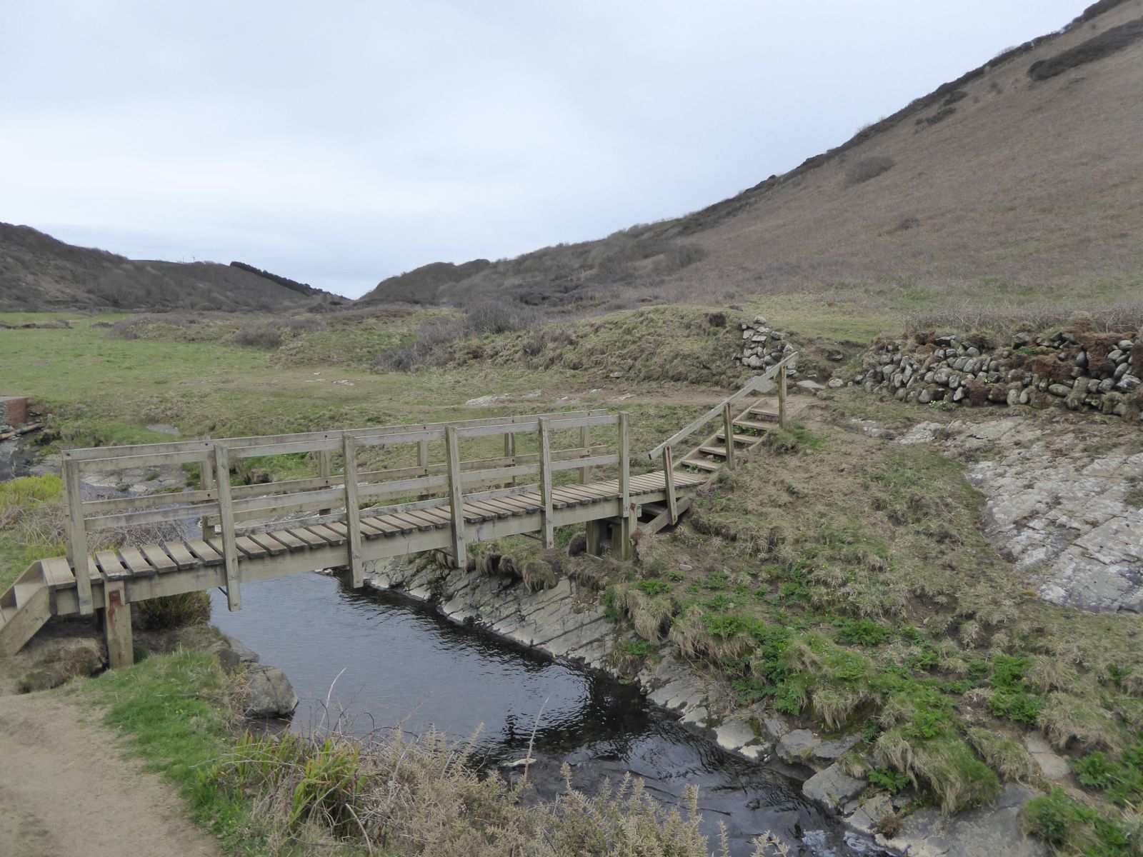
Duckpool valley footbridge - geograph.org.uk - 4915480.jpg - GeographBot

Rocks at Duckpool - geograph.org.uk - 4915484.jpg - GeographBot

View north across Duckpool - geograph.org.uk - 4915502.jpg - GeographBot

Valley to the north of Coombe Valley - geograph.org.uk - 4915517.jpg - GeographBot

Ducks in the rain on the Duckpool - geograph.org.uk - 4915521.jpg - GeographBot

Coombe Valley looking west from King William's Bridge - geograph.org.uk - 4915545.jpg - GeographBot

Coombe Valley looking east from King William's Bridge - geograph.org.uk - 4915547.jpg - GeographBot

GCHQ Bude - geograph.org.uk - 4919244.jpg - GeographBot

A39 passing Highborough Farm - geograph.org.uk - 5477548.jpg - GeographBot

A39 Welcome to Cornwall - geograph.org.uk - 5477553.jpg - GeographBot

Old Milestone by the A39, east of Woolley - geograph.org.uk - 5623141.jpg - GeographBot

Old Milestone by the A39, south of Crimp - geograph.org.uk - 5623142.jpg - GeographBot

Sheep ^ lambs heading towards Shop - geograph.org.uk - 5694366.jpg - GeographBot

Sheep and lambs heading towards Shop - geograph.org.uk - 5694372.jpg - GeographBot

A road junction on the outskirts of Shop - geograph.org.uk - 5694377.jpg - GeographBot

Track between Westcott Farm and Gooseham - geograph.org.uk - 5819004.jpg - GeographBot

Lane between Gooseham and Gooseham Mill - geograph.org.uk - 5819008.jpg - GeographBot

Bridge over Marsland Water by Gooseham Mill - geograph.org.uk - 5819052.jpg - GeographBot

Old Direction Sign - Signpost by Woodville Road, Lee Barton, Morwenstow parish - geograph.org.uk - 6049676.jpg - GeographBot

Old Direction Sign - Signpost by Jame's Cross, Morwenstow parish - geograph.org.uk - 6050133.jpg - GeographBot
Highborough Farm - geograph.org.uk - 6257036.jpg - GeographBot

Lay-by on A39 south of Crimp - geograph.org.uk - 6257041.jpg - GeographBot

Minor road south-east of Crimp - geograph.org.uk - 6257046.jpg - GeographBot

Advert in hedge and a field gate, south-west of Crimp - geograph.org.uk - 6257052.jpg - GeographBot

Minor road to Milton - geograph.org.uk - 6257053.jpg - GeographBot

Minor road to West Milton - geograph.org.uk - 6257055.jpg - GeographBot

Bridge over small stream east of Shop - geograph.org.uk - 6257057.jpg - GeographBot

Warning sign on minor road east of Shop - geograph.org.uk - 6258557.jpg - GeographBot

Verge and gateway at entrance to Chapel Farm - geograph.org.uk - 6258562.jpg - GeographBot

View to the coast from near Shop - geograph.org.uk - 6258574.jpg - GeographBot

Fork in the road at Shop - geograph.org.uk - 6258578.jpg - GeographBot

Morwenna Road, Shop - geograph.org.uk - 6258581.jpg - GeographBot

Road to Morwenstow from Shop - geograph.org.uk - 6258586.jpg - GeographBot

James' Cross, junction for Marsland Manor - geograph.org.uk - 6258587.jpg - GeographBot

Recessed entrance west of James' Cross - geograph.org.uk - 6258588.jpg - GeographBot

House overlooking the open space at Crosstown - geograph.org.uk - 6258591.jpg - GeographBot

Path to Vicarage Cliff, Morwenstow (1) - geograph.org.uk - 6258594.jpg - GeographBot

Path to Vicarage Cliff, Morwenstow (2) - geograph.org.uk - 6258597.jpg - GeographBot

Path to Vicarage Cliff, Morwenstow (3) - geograph.org.uk - 6258600.jpg - GeographBot

Henna Cliff, near Morwenstow - geograph.org.uk - 6258605.jpg - GeographBot

Path to Vicarage Cliff, Morwenstow (4) - geograph.org.uk - 6258608.jpg - GeographBot

Path up Henna Cliff - geograph.org.uk - 6258609.jpg - GeographBot

Path to Vicarage Cliff, Morwenstow (5) - geograph.org.uk - 6258613.jpg - GeographBot

South West Coast Path on Vicarage Cliff - geograph.org.uk - 6258617.jpg - GeographBot

Cliffs at Cotton Beach, Morwenstow - geograph.org.uk - 6258622.jpg - GeographBot

Cliffs south of Cotton Beach - geograph.org.uk - 6258623.jpg - GeographBot

Path to Morwenstow from Vicarage Cliff - geograph.org.uk - 6258625.jpg - GeographBot

South West Coast Path on Vicarage Cliff - geograph.org.uk - 6258635.jpg - GeographBot

Sign for Hawker's Hut and cliffs at Cotton Beach - geograph.org.uk - 6258640.jpg - GeographBot

Higher Sharpnose Point - geograph.org.uk - 6258643.jpg - GeographBot

Hawker's Hut - geograph.org.uk - 6258646.jpg - GeographBot

View across the Tidna Shute (valley) - geograph.org.uk - 6258652.jpg - GeographBot
South West Coast Path on Higher Sharpnose Point - geograph.org.uk - 6259291.jpg - GeographBot

Rocks off Higher Sharpnose Point - geograph.org.uk - 6259293.jpg - GeographBot

High ground behind Greenway Beach - geograph.org.uk - 6259295.jpg - GeographBot

The Tidna Shute, a valley south of Morwenstow - geograph.org.uk - 6259297.jpg - GeographBot

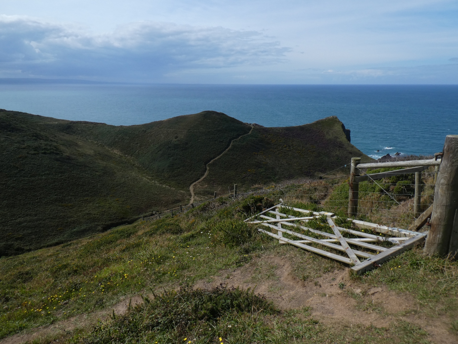
A kissing gate with its own name - geograph.org.uk - 6259298.jpg - GeographBot

Path to Vicarage Cliff from Crosstown - geograph.org.uk - 6259299.jpg - GeographBot

Field boundary near Rectory Farm. Crosstown - geograph.org.uk - 6259303.jpg - GeographBot

Track to Vicarage Cliff from Crosstown - geograph.org.uk - 6259305.jpg - GeographBot

Coastal fields south of Morwenstow - geograph.org.uk - 6259306.jpg - GeographBot

Coastal fields west of Morwenstow - geograph.org.uk - 6259307.jpg - GeographBot

Track to Crosstown from the coast - geograph.org.uk - 6259310.jpg - GeographBot

Path and stile at Crosstown - geograph.org.uk - 6259311.jpg - GeographBot

Stone barn at Morwenstow - geograph.org.uk - 6259314.jpg - GeographBot

Church of Sts Morwenna and John the Baptist, Morwenstow - geograph.org.uk - 6259316.jpg - GeographBot

The Norman porch of Morwenstow church - geograph.org.uk - 6259318.jpg - GeographBot

The nave of Morwenstow church - geograph.org.uk - 6259319.jpg - GeographBot

The Old Vicarage, Morwenstow - geograph.org.uk - 6259321.jpg - GeographBot

Looking west in Morwenstow churchyard to the sea - geograph.org.uk - 6259323.jpg - GeographBot

The old stone cross, Morwenstow churchyard - geograph.org.uk - 6259324.jpg - GeographBot

Road junction at Crosstown - geograph.org.uk - 6259328.jpg - GeographBot

Minor road in the woods at Crosswater - geograph.org.uk - 6259330.jpg - GeographBot

Road junction in the woods at Crosswater - geograph.org.uk - 6259331.jpg - GeographBot

Crossroads in the woods at Crosswater - geograph.org.uk - 6259336.jpg - GeographBot

Roadsign north of Stanbury Cross - geograph.org.uk - 6259339.jpg - GeographBot

Crossroads at Stanbury Cross - geograph.org.uk - 6259341.jpg - GeographBot

Minor road passing the entrance to Eastaway Manor - geograph.org.uk - 6259343.jpg - GeographBot

Houses in Cleave Crescent, near Morwenstow - geograph.org.uk - 6259346.jpg - GeographBot

Track to Hollygrove Wood - geograph.org.uk - 6259351.jpg - GeographBot

Road dropping towards Coombe - geograph.org.uk - 6260140.jpg - GeographBot

Two gates, two fields, above Coombe - geograph.org.uk - 6260144.jpg - GeographBot

The stream at Duckpool - geograph.org.uk - 6260153.jpg - GeographBot

Duckpool at low tide - geograph.org.uk - 6260156.jpg - GeographBot

Replica ship’s figurehead representing Caledonia in the churchyard Morwenstow Cornwall.jpg - JimChampion

Morwenstow Church, Cornwall - geograph.org.uk - 6381805.jpg - GeographBot

Seat in Hawker's Hut - Morwenstow, Cornwall - geograph.org.uk - 6381814.jpg - GeographBot

Morwenstow Church, Cornwall - geograph.org.uk - 6381859.jpg - GeographBot

Morwenstow , Highborough Farm - geograph.org.uk - 6399415.jpg - GeographBot

The Coombe Valley from Steeple Point - geograph.org.uk - 6428977.jpg - GeographBot

St. Morwenna's church, Morwenstowe - geograph.org.uk - 6458328.jpg - GeographBot

Woodford from the East - geograph.org.uk - 6726187.jpg - GeographBot

Ford in Middlefields Wood - geograph.org.uk - 6726190.jpg - GeographBot

Middlefields Wood - geograph.org.uk - 6726192.jpg - GeographBot

Woodford village - geograph.org.uk - 6726196.jpg - GeographBot

Lower Woodford - geograph.org.uk - 6726198.jpg - GeographBot

Duckpool Cottage - geograph.org.uk - 6726204.jpg - GeographBot

Duckpool beach in Winter - geograph.org.uk - 6726208.jpg - GeographBot

Cascade at Duckpool - geograph.org.uk - 6856449.jpg - GeographBot

River meets the Sea - geograph.org.uk - 6856459.jpg - GeographBot

Duckpool Cottage - geograph.org.uk - 6856469.jpg - GeographBot

Morwenstow - SS Morwenna ^ John the Baptist, Arch carvings - geograph.org.uk - 6981833.jpg - GeographBot

Morwenstow Satellite Dishes - geograph.org.uk - 7318280.jpg - GeographBot

On SW Coast Path - Higher Sharpnose Point - geograph.org.uk - 7374846.jpg - GeographBot

On SW Coast Path - heading towards Higher Sharpnose Point - geograph.org.uk - 7374850.jpg - GeographBot

On SW Coast Path - coast N of Tidna Shute near Morwenstow - geograph.org.uk - 7374856.jpg - GeographBot

On SW Coast Path - Tidna Shute near Morwenstow - geograph.org.uk - 7374862.jpg - GeographBot

On SW Coast Path - Morwenstow Church from Henna Cliff - geograph.org.uk - 7374867.jpg - GeographBot

Morvenstow Churchyard - geograph.org.uk - 7374871.jpg - GeographBot

Road leading E towards Shop, Cornwall - geograph.org.uk - 7374875.jpg - GeographBot

Stone Stile, Hawker's Hut, Bude - geograph.org.uk - 7597900.jpg - GeographBot

Holy Well of St Morwenna, Vicarage Cliff - geograph.org.uk - 7746931.jpg - GeographBot

Replica figurehead of the Caledonia in Morwenstow churchyard - geograph.org.uk - 7747589.jpg - GeographBot

Houses and lane in Gooseham - geograph.org.uk - 7776656.jpg - GeographBot

Green lane heading towards Gooseham - geograph.org.uk - 7776660.jpg - GeographBot

Lane passing Cory Lodge entrance - geograph.org.uk - 7776662.jpg - GeographBot

Green lane and gates, looking west - geograph.org.uk - 7776664.jpg - GeographBot

Green lane through woods, crossing a stream - geograph.org.uk - 7776667.jpg - GeographBot

Green lane heading west around the bend - geograph.org.uk - 7776669.jpg - GeographBot