Wikimedi'Òc
Modes d'emploi

Cet album fait partie des albums
Cet album photos contient les sous-albums suivants :


Echo Canyon.jpg - Finavon
Mormon Trail end.jpg - Basenjik

A-11. Weber River Crossing (Henefer, UT) on the California and Mormon Pioneer National Historic Trails (2008) (1dda1658-ce94-4f25-8ca9-f9aff7f8857b).jpg - BMacZeroBot

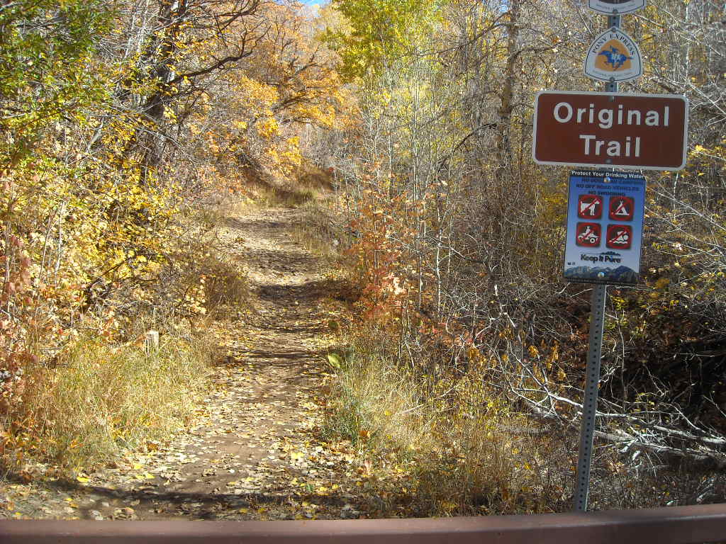
A-12. Henefer Pioneer Trails Park (Henefer, UT) on the California, Mormon Pioneer, and Pony Express National Historic Trails (2008) (c5911087-f094-4710-b1fd-7fd69831a408).jpg - BMacZeroBot
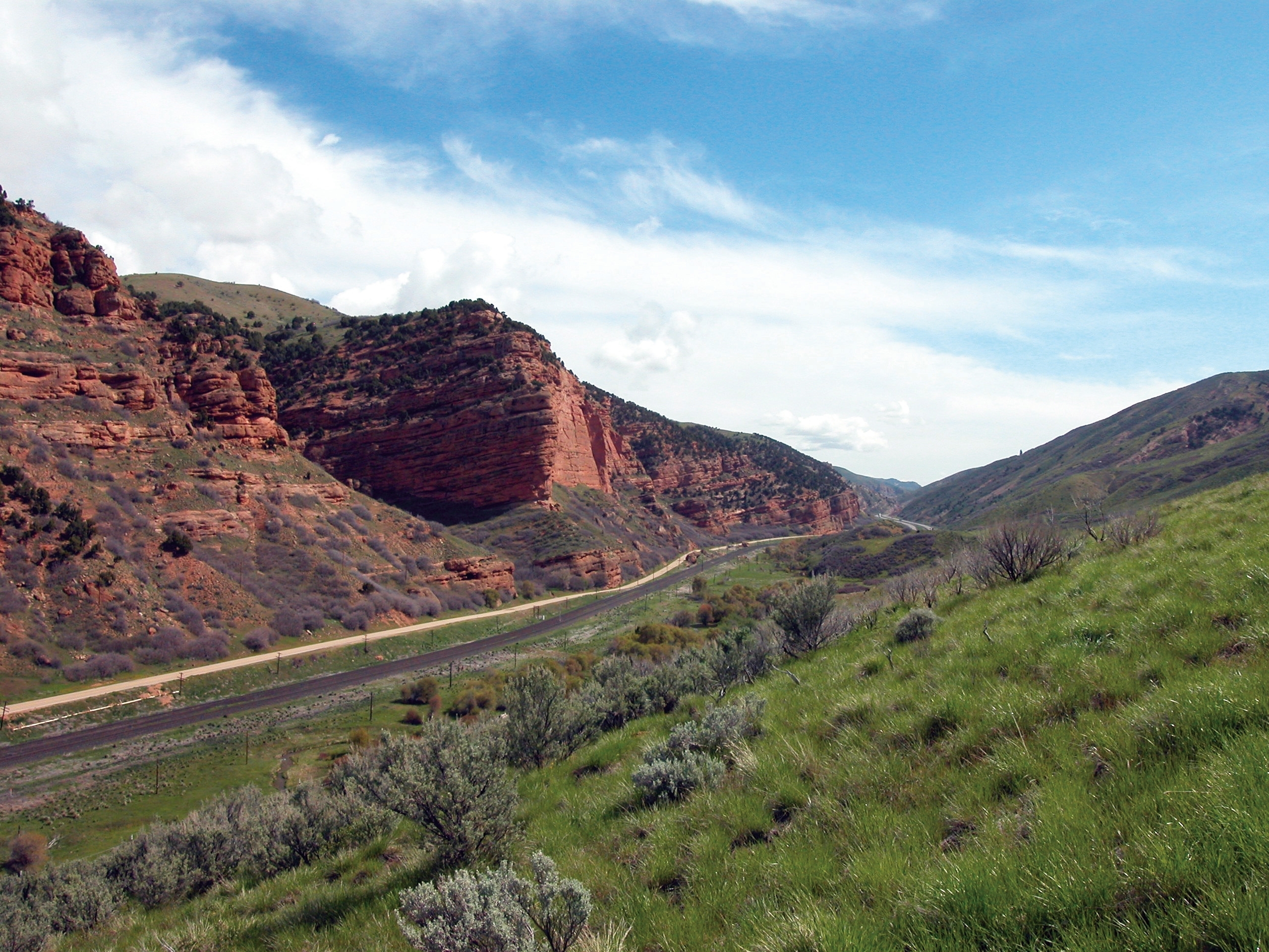
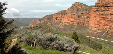
A-1. Head of Echo Canyon (between Wahsatch and Echo, UT) on the California, Mormon Pioneer, and Pony Express National Historic Trails (2003) (cde088e3-d32b-4602-876b-4943c3fbacc0).jpg - BMacZeroBot

A-10. Temple Camp and Supplication Hill (northwest of Echo) on the Mormon Pioneer National Historic Trail (2008) (5bee5687-015d-49af-92eb-8e915aac63d9).jpg - BMacZeroBot

A-9. The Echo Town Interpretive Area (Mary Avenue & Durant Street, Echo) on the California, Mormon Pioneer, and Pony Express National Historic Trail (2008) (9dcbb4c5-629b-4666-bb22-63cbb0a1489b).jpg - BMacZeroBot

A-14. Hastings Cutoff and Mormon Trail Wagon Ruts at Hogsback Summit (southwest of Henefer) on the California and Mormon Pioneer National Historic Trails (2008) (e0d99645-b5de-4924-9541-9326c4b3545f).jpg - BMacZeroBot

A-13. Spring Creek (southwest of Henefer) on the California and Mormon Pioneer National Historic Trails (2008) (981f7524-7577-4507-a945-58ac945e968e).jpg - BMacZeroBot

SLC-13. Temple Square (between South Temple and North Temple Streets) on the Mormon Pioneer National Historic Trail (2008) (6fda102a-918e-4cb9-9f14-e26b3b030ac5).jpg - BMacZeroBot

SLC-14. Ensign Peak Overlook on the Mormon Pioneer National Historic Trail (2008) (0cf344e8-1fed-48bf-92ae-35b1077ed9de).jpg - BMacZeroBot

SLC-2. Emigration SquareWashington Square Pioneer Campground (400 South Street and State Street) on the California and Mormon Pioneer National Historic Trails (2009) (5b3d66ef-a56b-41d4-aff1-61a8636167f5).jpg - BMacZeroBot

A-24. This Is The Place Heritage Park (2106 Sunnyside Avenue, Salt Lake City) on the Mormon Pioneer and Pony Express National Historic Trails (2006) (cc8cbf93-03ea-4dd0-b4c2-598213233dcb).jpg - BMacZeroBot

A-17. Big Mountain Pass on the California and Mormon Pioneer National Historic Trails (2008) (82a6113c-9ece-418d-8402-1715a4475a38).jpg - BMacZeroBot

SLC-8. The Eagle Gate (South Temple and State Street) on the Mormon Pioneer National Historic Trail (2008) (a20ae5c4-80f3-4dcc-be5c-33eb1af0b1bf).jpg - BMacZeroBot

A-8. The Weber Station (Echo, UT) on the California, Mormon Pioneer, and Pony Express National Historic Trails (2008) (366f56fe-fd71-439f-a4f2-43076e85670f).jpg - BMacZeroBot

A-18. Big Mountain to Little Dell Recreation Trail on the California and Mormon Pioneer National Historic Trails (2008) (24bdedc2-dd4f-4e7f-af0a-27300fdccf49).jpg - BMacZeroBot

A-16. East Canyon Overlook on the California and Mormon Pioneer National Historic Trails (2009) (cbc5515e-f4e5-4be5-880d-2c9a15fe95d5).jpg - BMacZeroBot

A-22. Brigham Young's Last Camp (northwest of Salt Lake City) on the Mormon Pioneer National Historic Trail (2008) (e222d0f3-97e4-44b9-a424-27b373e734ca).jpg - BMacZeroBot

SLC-14. Pioneer Memorial Museum (300 North Street and Main Street) on the Mormon Pioneer National Historic Trail (2008) (d2b70c54-d040-464e-97e4-fe17933997a3).jpg - BMacZeroBot

A-19. At Quaking Asp Grove on the Mormon Pioneer National Historic Trail (2008) (d7ef2f42-1b32-4be8-b928-8f0812cde481).jpg - BMacZeroBot

SLC-9. Brigham Young Cemetery (150 East on the south side of 1st Avenue) on the Mormon Pioneer National Historic Trail (2008) (0e41d6a2-1fae-4068-8563-125f3fe7411d).jpg - BMacZeroBot

A-15. Broad Hollow on the California and Mormon Pioneer National Historic Trails (2008) (70ffa19f-0c64-48ce-b1c8-6b20a93b8bcb).jpg - BMacZeroBot

A-21. Little Mountain Summit (Emigration Canyon Road) on the California and Mormon Pioneer National Historic Trails (2008) (7cd060ef-fd47-4f68-91ec-f8afb44ebbfa).jpg - BMacZeroBot

SLC-7. The Beehive House and the Lion House (South Temple Street, west of State Street) on the Mormon Pioneer National Historic Trail (2008) (28524b29-512d-4f83-8652-173c2fc800e9).jpg - BMacZeroBot

SLC-11. The Church History Museum (45 North and West Temple Street) on the Mormon Pioneer National Historic Trail (2008) (50522237-837e-4172-a18d-1ec25b8dd4b9).jpg - BMacZeroBot

SLC-15. Ensign Peak Memorial Garden and Ensign Peak Nature Park (Ensign Vista Drive) on the Mormon Pioneer National Historic Trail (2008) (44a97386-e315-4550-872f-b8aa8a362c99).jpg - BMacZeroBot

A-20. Little Dell Reservoir (northeast of Salt Lake City) on the California, Mormon Pioneer, and Pony Express National Historic Trails (2008) (81721da9-9042-4634-a924-e42f72e6823a).jpg - BMacZeroBot

SLC-10. Brigham Young Historic Park (State Street and 2nd Avenue) on the Mormon Pioneer National Historic Trail (2008) (e3358e52-2e8e-42ae-9cb4-7721abfb7fd3).jpg - BMacZeroBot

A-27. The Rock in the Glen (U.S.-2026, Glenrock) on the California, Mormon Pioneer, Oregon, and Pony Express National Historic Trails (2006) (5916db7f-2804-483a-86a9-1bc5a33b1ead).JPG - BMacZeroBot