Wikimedi'Òc
Modes d'emploi

Cet album fait partie des albums
Cet album photos contient les sous-albums suivants :


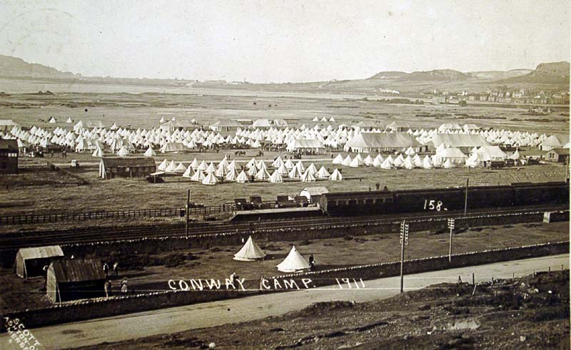
Conway Camp-1911.jpg - Pkravchenko

Rhossili Down - geograph.org.uk - 19399.jpg - GeographBot

Coast Artillery School - remains - geograph.org.uk - 122370.jpg - GeographBot

A HMG Post on the Foryd Embankment - geograph.org.uk - 246262.jpg - GeographBot

A Machine Gun Nest in an Iron Age Fort - geograph.org.uk - 246210.jpg - GeographBot

Lewis Gun Mounting near Pont Pen-y-Benglog - geograph.org.uk - 238816.jpg - GeographBot

Tank Traps. - geograph.org.uk - 236158.jpg - GeographBot

The Final Resting Place of Mosquito W4088 - geograph.org.uk - 234000.jpg - GeographBot
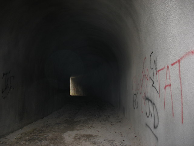
Inside the railway access to the bomb store - geograph.org.uk - 393854.jpg - GeographBot

Sentry box and gated railway access to the former bomb store - geograph.org.uk - 393844.jpg - GeographBot

The coastal watch on Garn Fawr - geograph.org.uk - 395592.jpg - GeographBot

A line of bomb stands and woodland below Moel Rhiwen - geograph.org.uk - 435730.jpg - GeographBot

An old Air Ministry service road - geograph.org.uk - 436224.jpg - GeographBot

Bomb stands built of slate 'rags' - geograph.org.uk - 436286.jpg - GeographBot

Concrete bases at the SW corner of Coed Rhiwlas - geograph.org.uk - 435840.jpg - GeographBot

Concrete building base - geograph.org.uk - 436264.jpg - GeographBot

Concrete building base and fire point by Cae'r-mynydd cottage - geograph.org.uk - 435830.jpg - GeographBot

Former Air Ministry road by Coed Rhiwlas - geograph.org.uk - 435954.jpg - GeographBot

Old blast shelter at Caer-mynydd bomb store base - geograph.org.uk - 436210.jpg - GeographBot

Old bomb storage stands - geograph.org.uk - 435727.jpg - GeographBot

Old fire precaution water tanks at Caer-mynydd bomb storage base - geograph.org.uk - 436206.jpg - GeographBot

Old war-time building base - geograph.org.uk - 436274.jpg - GeographBot

Sheep grazing on the former bomb-storage park at Cae'r Mynydd - geograph.org.uk - 435725.jpg - GeographBot

View past bomb bays to Coed Castell - geograph.org.uk - 436229.jpg - GeographBot

Dale airfield runway - geograph.org.uk - 443838.jpg - GeographBot

The site of the former bomb store at Cae'r Mynydd from Moel Rhiwen - geograph.org.uk - 453481.jpg - GeographBot

1944 crash site, all that remains - geograph.org.uk - 464018.jpg - GeographBot

Wartime aircraft crash site - geograph.org.uk - 463118.jpg - GeographBot

Wartime aircrash site - geograph.org.uk - 464038.jpg - GeographBot

Former wartime bombing range observation hut - geograph.org.uk - 622210.jpg - GeographBot

The former Trefor ROC observation post on Trwyn-y-Tal - geograph.org.uk - 627042.jpg - GeographBot

Bat house - geograph.org.uk - 646165.jpg - GeographBot

Gun Emplacements - geograph.org.uk - 721690.jpg - GeographBot

Derelict MOD property of WWII vintage - geograph.org.uk - 765432.jpg - GeographBot

A relic of WWII east of Pandy Treban - geograph.org.uk - 1008890.jpg - GeographBot

Anti-tank defences - geograph.org.uk - 1088782.jpg - GeographBot

Anti-tank obstacles, near Talybont Reservoir - geograph.org.uk - 1107008.jpg - GeographBot

Dragons Teeth - Fairbourne Beach - geograph.org.uk - 1413179.jpg - GeographBot

2 Lieutenant Oswald Morgan Williams (6279211139).jpg - File Upload Bot (Magnus Manske)

Lord roberts card.jpg - Fma12
203 fd hosp200.png - Titus Gold