Wikimedi'Òc
Modes d'emploi

Cet album fait partie des albums
Cet album photos contient les sous-albums suivants :


OHMap-doton-Collinsville.png - Nyttend

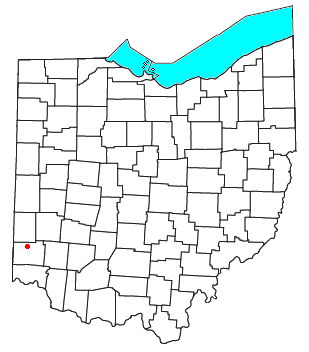
OHMap-doton-Darrtown.png - Nyttend

Lane's Mill Historic Buildings.JPG - BotMultichillT
Historic American Buildings Survey, Eugene F. Schrand, Photographer, 1937 GENERAL VIEW OF ENTRANCE SIDE AND GABLE END. - Charles Krebs Place, South of Morning Sun, State Route HABS OHIO,9-DART.V,1-1.tif - Fæ

Taylor Wheat Field 1914 (3191584790).jpg - Fæ

Map of Butler County Ohio Highlighting Milford Township.png - Nyttend
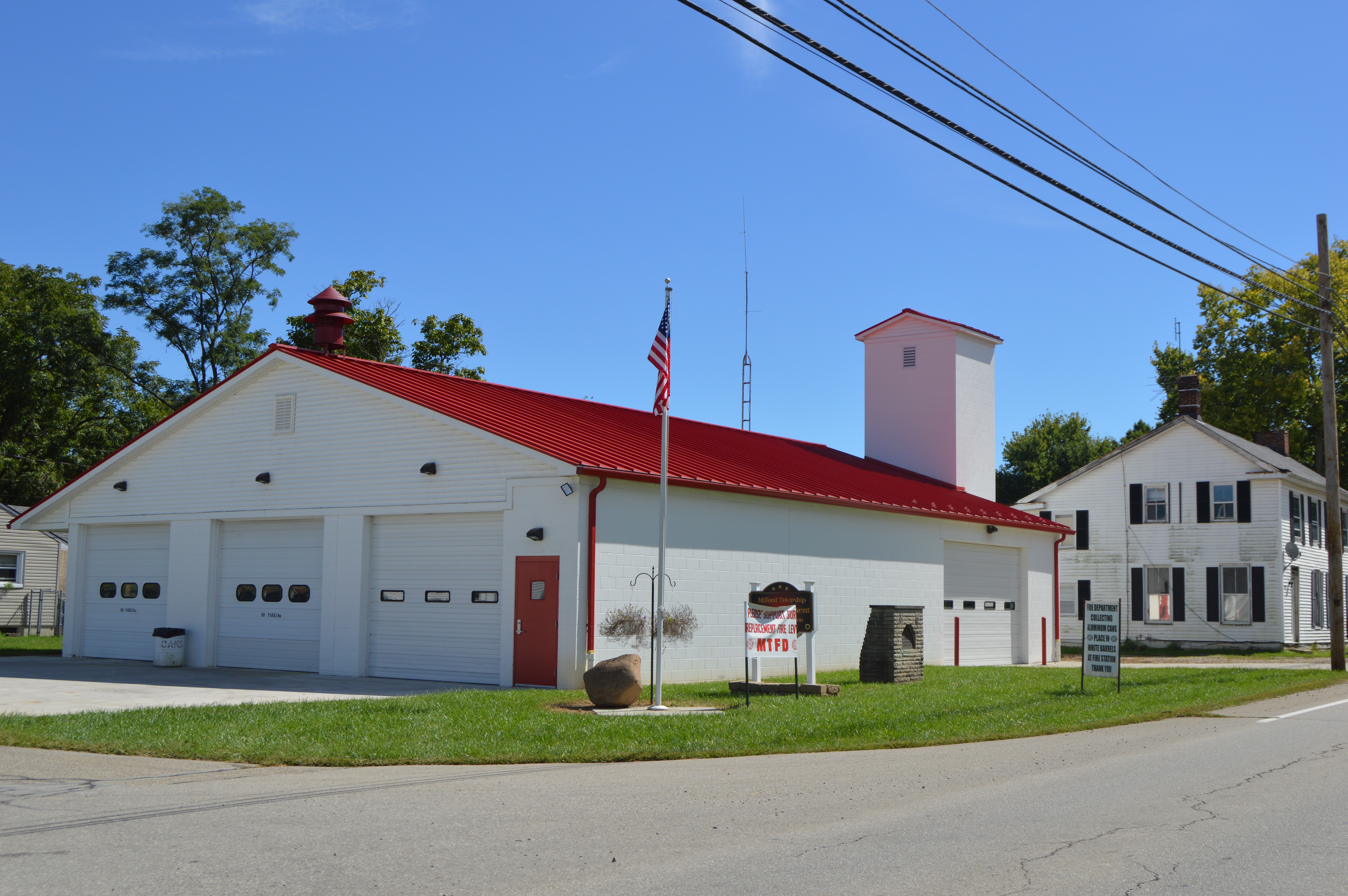
Milford Township fire station, Darrtown.jpg - Nyttend

Scott Road schoolhouse.jpg - Nyttend